Quick guide
- Type
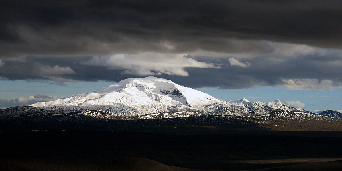
- Mountain, old central volcano, hiking area, and wildlife landscape
- Region
- East Iceland, within Vatnajökull National Park
- Route context
- A remote highland detour from the Egilsstaðir and Fljótsdalur side, not a quick Ring Road stop
- Time to allow
- A full highland day if hiking; shorter viewpoint or hut-area stops still need access checks
- Hike difficulty
- The official summit route is challenging, 6.2 km one way, and includes glacier-terrain caution
- Access
- Snæfellsskáli and the campsite are reached by F909 when conditions and vehicle rules allow
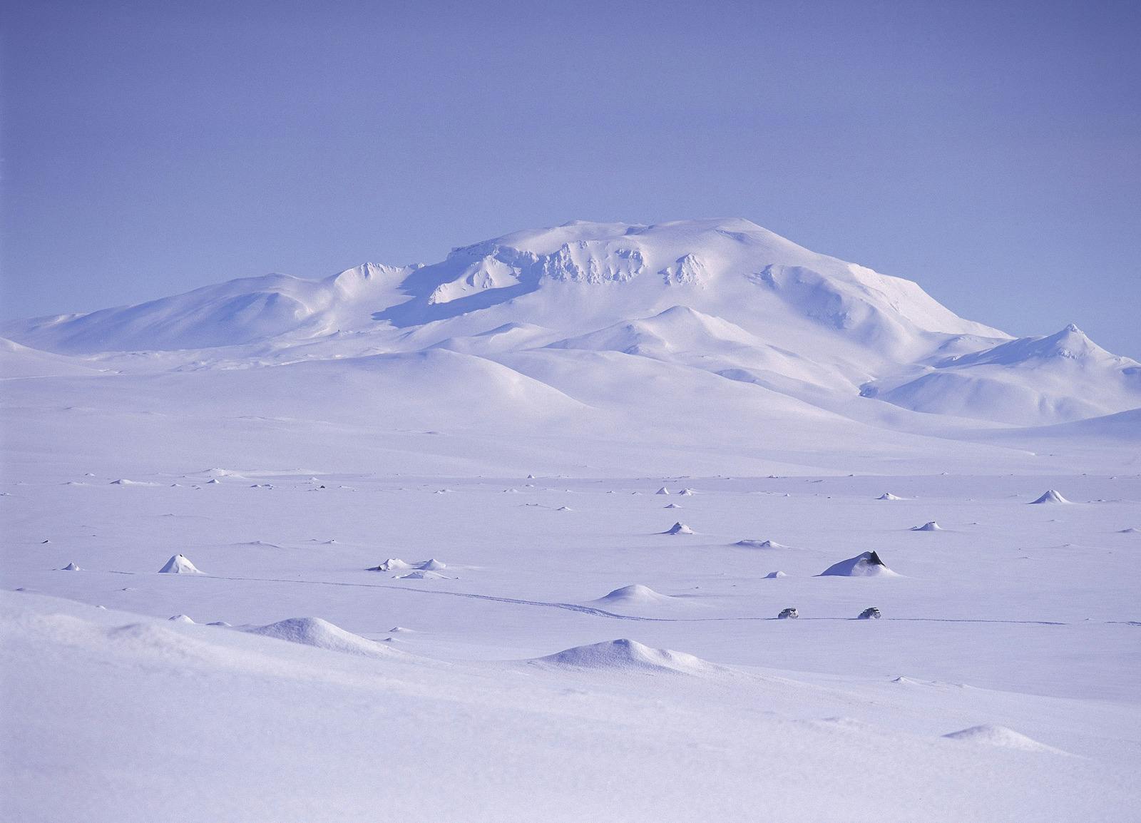
- Best season
- Summer is the practical visitor season; winter belongs to experienced, specialist travel only
- Nearby pairings
- Fljótsdalur, Eyjabakkar, Kárahnjúkar, Hafrahvammagljúfur, Hengifoss, and East Iceland routes
- Before you go
- Check the national park, F909 road status, weather warnings, and SafeTravel before committing