
Quick guide
- Type
- Basalt fortress site
- Region
- North Iceland
- Route fit
- Vatnsnes side stop
- Time
- Short rocky visit
- Effort
- Uneven upper ground
Borgarvirki is a basalt volcanic plug and historic fortress site in North Iceland, best added as a short Vatnsnes or Arctic Coast Way stop when the day has room for rougher landscape texture.
Quick guide
Yes, Borgarvirki is worth a stop when you are already near Vatnsnes, Hvítserkur, or the northwest edge of North Iceland. It is less convincing as a standalone detour on a packed transfer day.
The value is not scale. Borgarvirki is a compact basalt fortress site with a short climb, a rough stone enclosure, and a wide view over the surrounding farms, lake, and valley country. It works because it feels different from the coastal sea-stack and seal-watching stops nearby.
Add Borgarvirki to a slower Vatnsnes loop or a northbound day that already has room for small stops. Cut it from a day racing from West Iceland toward Lake Mývatn, Goðafoss, Dettifoss, or Akureyri.
Worth the stop?
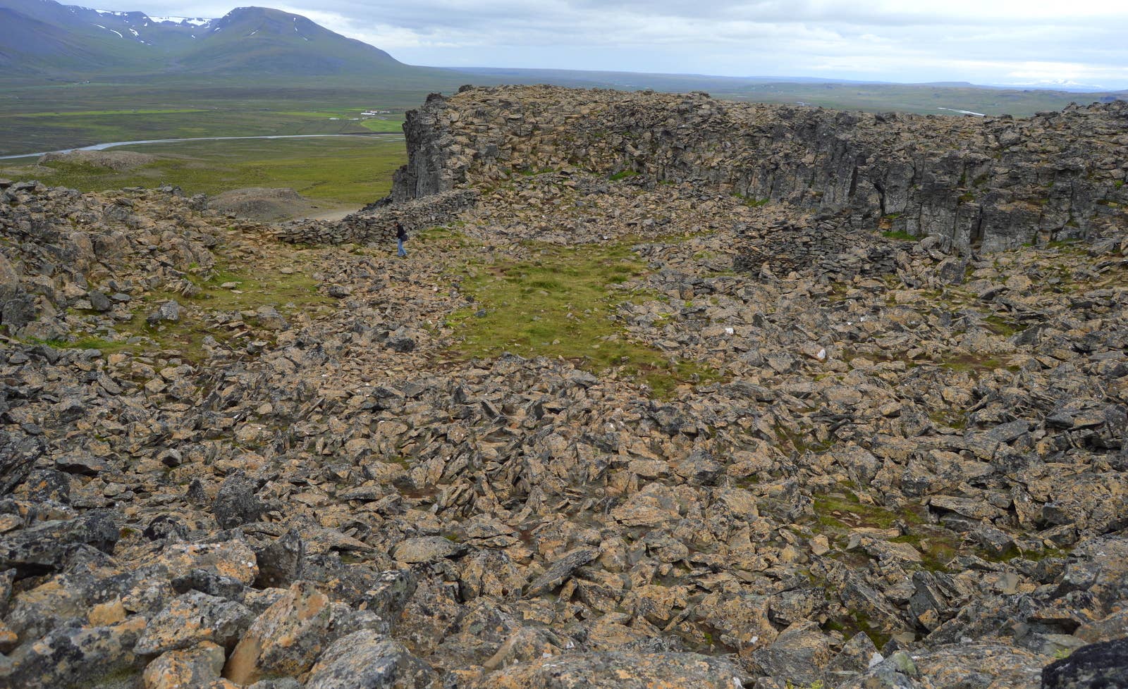
Borgarvirki is both geology and old human use: a volcanic plug of basalt strata that people later shaped into a fortress-like place.
The official Húnaþing vestra visitor page places Borgarvirki between Vesturhóp and Víðidalur and identifies it as a volcanic plug rising 177 m above sea level. That setting matters because the site is not hidden in a town or museum; it sits above open North Iceland countryside.
The top has a rocky hollow, old walling, and the feeling of a natural stronghold. The saga associations are part of the atmosphere, but the strongest reason to stop is simpler: you can stand inside a rough basalt ring and see why the place invited fortress stories.
Plan on a short, self-guided stop: park, walk up, move carefully around the stone, look into the enclosure, and use the viewpoint before continuing the day.
The visit is tactile rather than polished. You notice broken basalt, rough walls, a hollowed upper area, and the way the surrounding land opens out below. The stop is strongest for travelers who enjoy reading a place through rock, shape, and view.
Footing is the main practical detail. Even in good weather, this is not the same as a paved overlook. Wear shoes that make sense on uneven rock, keep children close around drops and loose stones, and let wind or ice decide how much of the upper area is sensible for your group.
| Traveler question | Useful answer |
|---|---|
| Is it a main attraction? | No; it is a compact historic landscape stop. |
| How long should I plan? | Most travelers only need a short pause unless photos, weather, or group pace slow things down. |
| Is the terrain easy? | The walk is short, but the upper site is rocky and uneven. |
| What is the best mindset? | Go for basalt texture, local history, and the view, not for a built visitor experience. |
Borgarvirki makes the most sense as one piece of a northwest cluster, especially when paired with Vatnsnes and Hvítserkur rather than isolated as a single errand.
Use Vatnsnes as the wider planning frame. Hvítserkur gives the obvious coastal photo stop, while Borgarvirki adds a higher, rockier, more historical counterpoint. Together they make the detour feel more intentional than a quick in-and-out from the Ring Road.
For longer North Iceland planning, keep Borgarvirki in the small-stop category. Lake Mývatn, Goðafoss, and Dettifoss are stronger anchors for a north-coast itinerary; Borgarvirki is the texture you add only when the driving day still has slack.
Check road, weather, and travel-condition sources when the day has strong wind, winter conditions, heavy rain, low cloud, or limited daylight.
Borgarvirki is not a complicated stop in calm conditions, but it sits on a local detour and the upper site is exposed. If the drive is already slow or the weather is turning, this is exactly the kind of small stop that is easy to cut without weakening the whole day.
Use official visitor information for the place itself, Umferðin for road notifications, the Icelandic Met Office for northwest weather, and SafeTravel for travel-condition guidance. Avoid treating old trip reports or map estimates as enough when conditions are changing.
Local visitor page for Borgarvirki's setting, geology, and history.
Municipality page for the wider Vatnsnes area and nearby stops.
Road notifications and traffic-condition source for Iceland.
Forecasts and warnings from the Icelandic Meteorological Office.
Travel-condition and safety guidance from ICE-SAR's visitor safety service.
The main questions are about expectations: how big the stop is, who it suits, and when to leave it out.
No, Borgarvirki is a compact historic landscape stop. It is memorable when you are already nearby, but it should not replace larger North Iceland anchors such as Lake Mývatn, Goðafoss, or Dettifoss.
Allow a short stop rather than a full activity block. The exact pace depends on footing, wind, photos, and how carefully your group moves around the upper rocks.
It can be, if children are comfortable on uneven ground and adults keep close control near rough stone and exposed edges. Skip or shorten the visit if weather or footing makes the upper area awkward.
Choose the order that keeps your Vatnsnes day simple. Hvítserkur is the stronger visual landmark, while Borgarvirki is the shorter historic and viewpoint contrast.
Map
Use nearby places and useful bases before opening directions.
Interactive planning map for Borgarvirki
Keep exploring
Use nearby places and planning pages to decide whether this stop strengthens the route or stays optional.
A slower but high-reward region for harbor towns, canyon landscapes, basalt formations, and Ring Road north-coast planning.
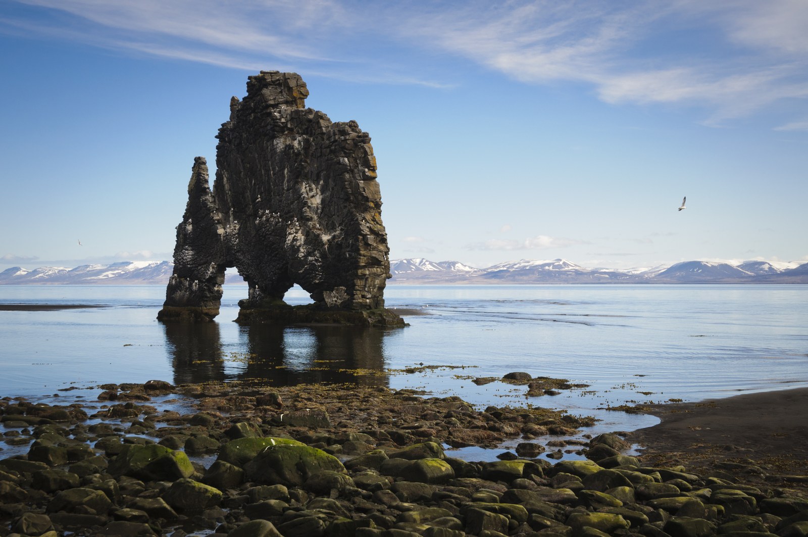
Hvítserkur is a basalt sea stack off the Vatnsnes coast in North Iceland, best planned as a short but distinctive detour with viewpoint, beach, and seal-watching context nearby.
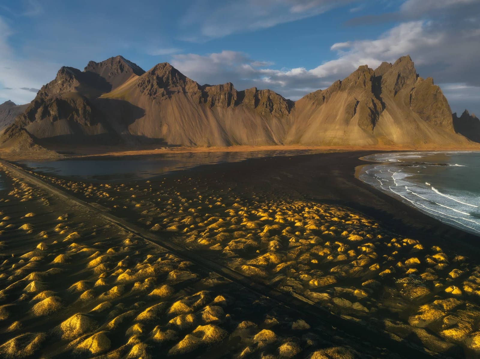
Vatnsnes is a quiet North Iceland peninsula where seal-watching stops, farm coast, Hvítserkur, and slower Arctic Coast Way driving come together as a deliberate detour, with enough flexibility for conditions and nearby route choices.
A focused first-trip itinerary for travelers with five days who want Reykjavík, the Golden Circle, and the South Coast without forcing the Ring Road.
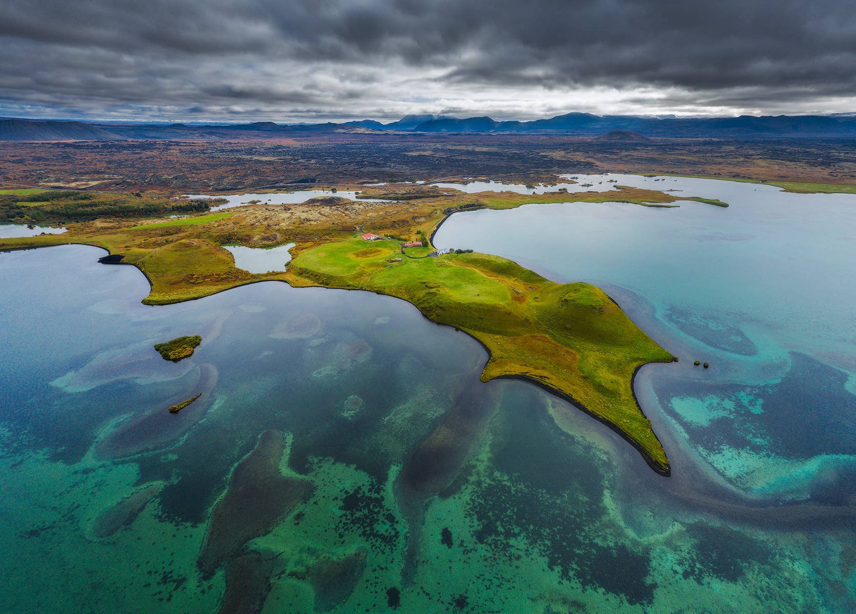
Mývatn is a lake-and-volcanic landscape area in North Iceland, best planned as a multi-stop base where craters, lava fields, geothermal areas, and baths compete for time, with enough flexibility for conditions and nearby route choices.
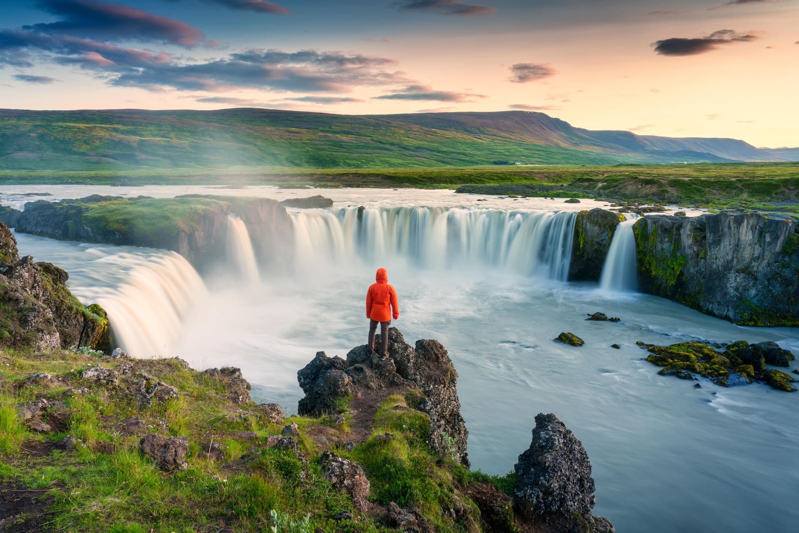
Goðafoss is a compact North Iceland waterfall near Route 1, useful when you need a scenic stop between Akureyri, Mývatn, and the wider Diamond Circle, with enough flexibility for conditions and nearby route choices.