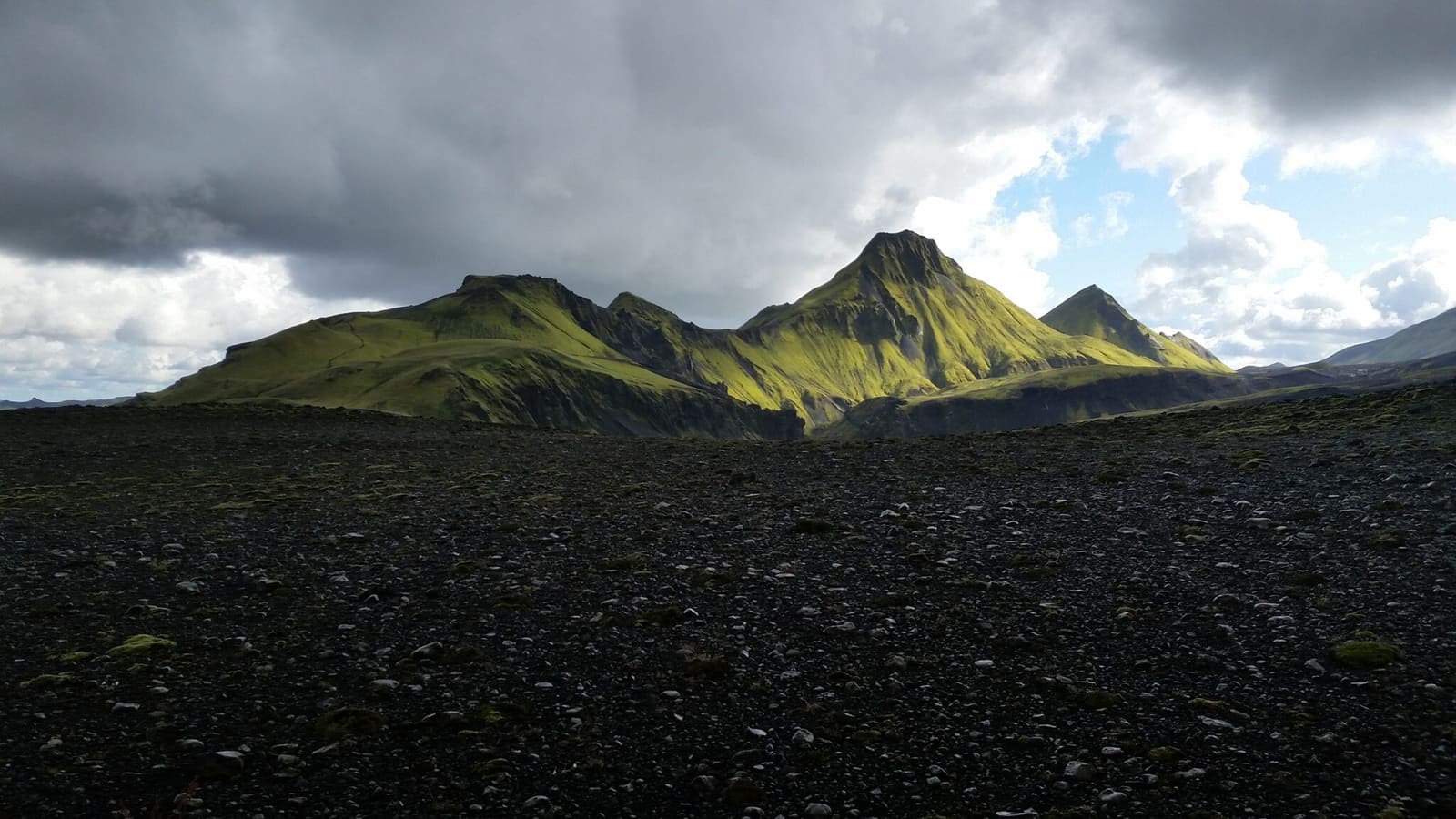
Uxatindar rises above dark volcanic ground near Skælingar in the southern Highlands. Its green ridges and remote river landscape suit a carefully planned hiking trip around Eldgjá and Langisjór.
Access reality
Type
Remote Highlands mountain and walking landscape near the Langisjór and Skælingar area
Region
Icelandic Highlands, tied to the wider South Iceland highland route area
Route context
Best treated as part of a Langisjór, Skælingar, Sveinstindur, or Eldgjá plan
Access reality
Remote highland roads, rough tracks, river-crossing decisions, and changing weather can decide the day
Time to allow
Reserve a substantial part of a Highlands day; no verified summit trail time or distance is provided
In this guide
Uxatindar above the Skælingar landscape
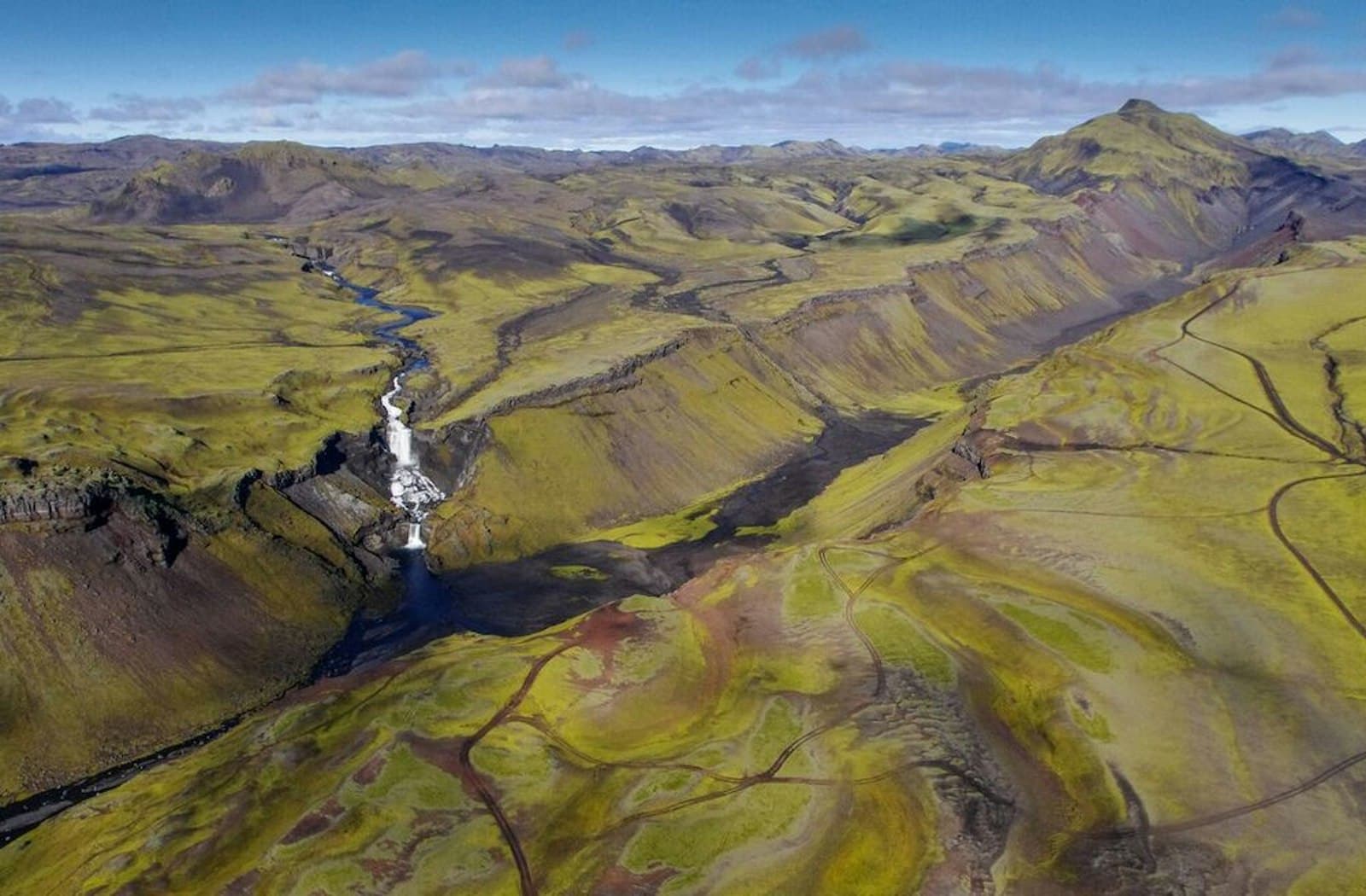
Green mountain slopes, dark lava and the Skaftá river landscape give this remote area its character.
Uxatindar is one of the mountains Útivist identifies near its Skælingar hut. The hut sits among unusual lava formations in a part of the southern Highlands reached by rough tracks or on a longer hiking journey.
Nearby Eldgjá offers a volcanic canyon visit, while Langisjór and Sveinstindur provide lake and mountain scenery farther along the Highlands route. Uxatindar fits travelers who already have time and suitable arrangements for this area.
Ridges, lava and river country
The contrast between green slopes and dark volcanic ground is the main reason to come.
Uxatindar's peaks rise from open Highland terrain rather than a developed roadside viewpoint. Skælingar's lava formations and old shepherds' hut give the area a human history as well as a striking landscape.
Clear visibility helps you read the surrounding ridges and river flats. If cloud closes in, shorten the plan rather than continuing solely to reach a map marker.
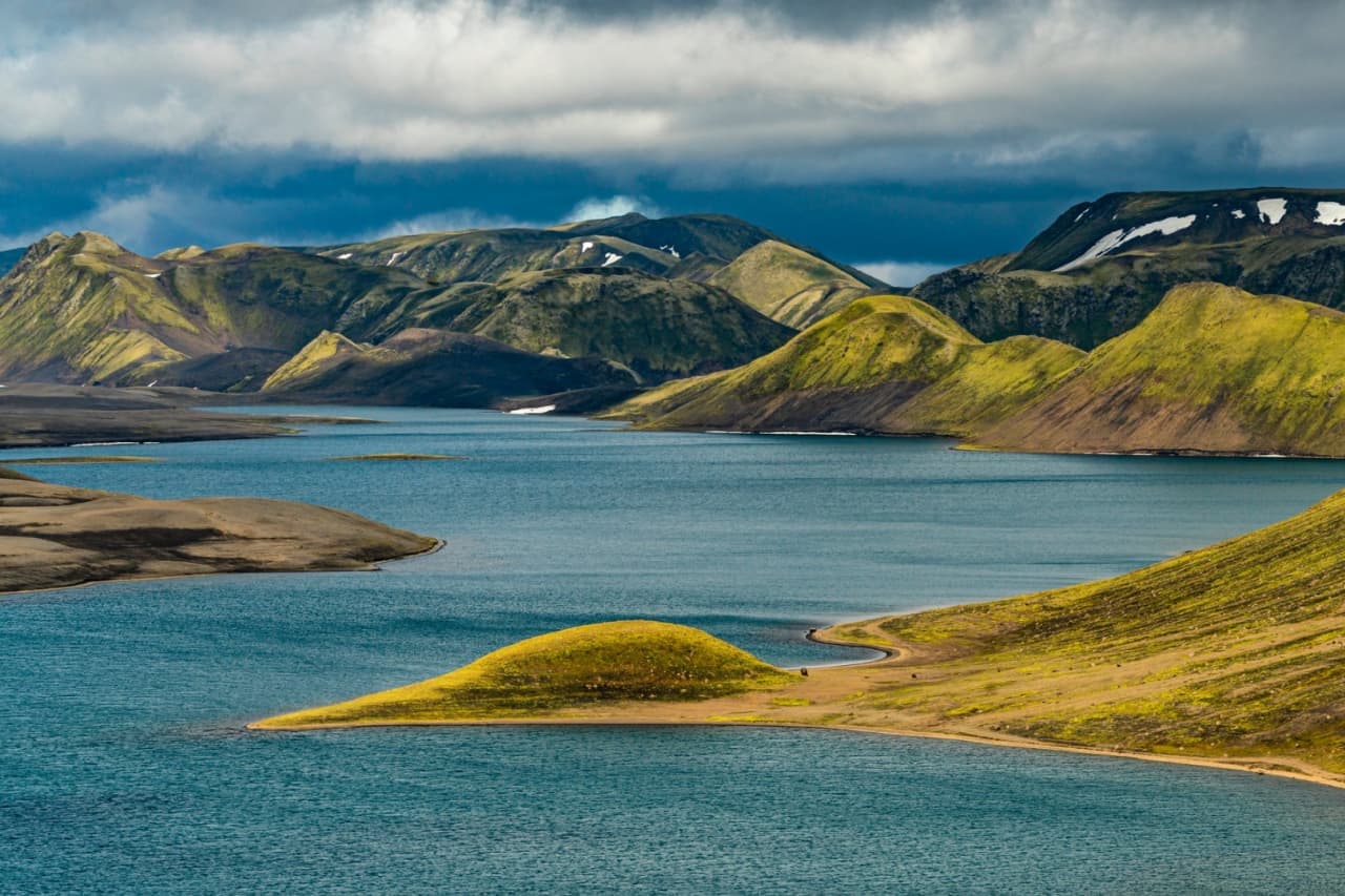
Uxatindar's slopes rise beside water and dark volcanic ground.
The Skælingar approach and walking plans
The published hut approach explains access to Skælingar; it does not establish a marked summit trail on Uxatindar.
Útivist describes an approach on F208 past Hólaskjól, crossing Nyrðri-Ófæra east of Eldgjá, then taking the Gjátindur branch toward Skælingar. This involves rough Highland travel and an unbridged river. Check suitable 4x4 access, rental restrictions and current conditions before committing.
Keep these three plans separate.
Plan
What is established
What still needs checking
Skælingar hut approach
The operator describes the F208 and Gjátindur track approach.
Road opening, river conditions, vehicle suitability and any overnight booking.
Walking near Uxatindar
The mountain is identified among nearby Skælingar sights.
A specific route, terrain, navigation, timing and return plan.
Sveinstindur–Hólaskjól trek
The park describes a multi-day corridor using the area's huts.
Stages, reservations and transport; it is not a short viewpoint detour.
Skælingar has no permanent resident warden and no running water, according to Útivist. Other hut wardens oversee it. Carry the supplies your outing needs and confirm arrangements in advance; a nearby brook is not a guarantee of treated drinking water.
Eldgjá is regional context; this photograph does not show a verified Uxatindar summit path.
Planning around Eldgjá and Langisjór
Choose one main objective and leave the rest conditional on access and time.
Eldgjá, Skælingar and the Langisjór–Sveinstindur area belong to the same broad planning region, but road and walking connections still require time. The park describes the Sveinstindur–Hólaskjól hiking corridor as a two- to three-day journey.
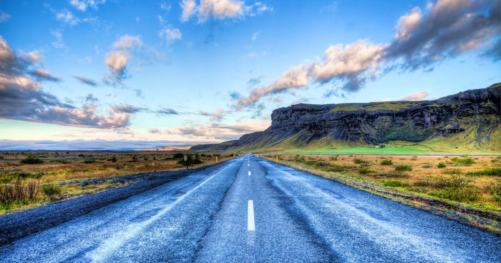
Lakagígar and Fagrifoss are separate excursions. Do not read a regional list of volcanic sights as a driveable same-day loop through Uxatindar. A classic paved South Coast itinerary needs a deliberate Highlands extension to include this area.
For a different mountain or crater outing, compare the separate guides to Breiðbakur and Ljótipollur. Check each one's approach and walking commitment before choosing an alternative to the Skælingar area; they are not extra stops to append automatically.
Choose the route and main overnight or walking objective before adding nearby mountains.
Check access with the park or hut operator close to departure.
Leave enough time and supplies for the return, including slower travel or a turnaround.
Langisjór is a separate lake and hiking objective in the wider Highlands area.
Road, weather and hut checks
Review conditions shortly before travel and follow local access information on the day.
Use official road conditions before leaving ordinary roads, official weather guidance before trusting visibility or wind exposure, and SafeTravel guidance before river-crossing or F-road decisions. In the protected highland landscape, follow marked routes and existing paths, and avoid damaging moss, pumice, or fragile volcanic surfaces.
Published approach, basic hut facilities and lack of a permanent resident warden.
Uxatindar FAQ
Is Uxatindar good for a first Iceland trip?
It can fit a first trip built specifically around prepared Highlands travel. For a first trip on paved roads, choose an easier stop unless you have arranged a suitable guided or independent approach.
Can Uxatindar be a quick roadside stop?
No. Treat it as part of a remote highland area where the approach, conditions, and walking decisions matter as much as the mountain view.
What should I pair with Uxatindar?
Consider Skælingar, Eldgjá, Langisjór and Sveinstindur within a properly planned Highlands visit. They are regional options, not a promise that every sight fits into one day.
What checks matter most before visiting Uxatindar?
Road conditions, weather, highland safety guidance, and protected-area visitor information matter most. If those checks create doubt, choose an easier South Iceland stop.
This marker locates the mountain, not a verified parking area or trailhead. Use it for orientation and confirm your approach with the local hut operator or ranger.
Region
Highlands
Works well with
Highlands routes / South Coast
Useful base
Vík
Interactive planning map for Uxatindar
Interactive map
Load the map when you need it
Place context and external map links remain available without loading it.
Routes and itineraries
Build the route around access
Compare road trips and itineraries that give this place a sensible position in the wider journey.