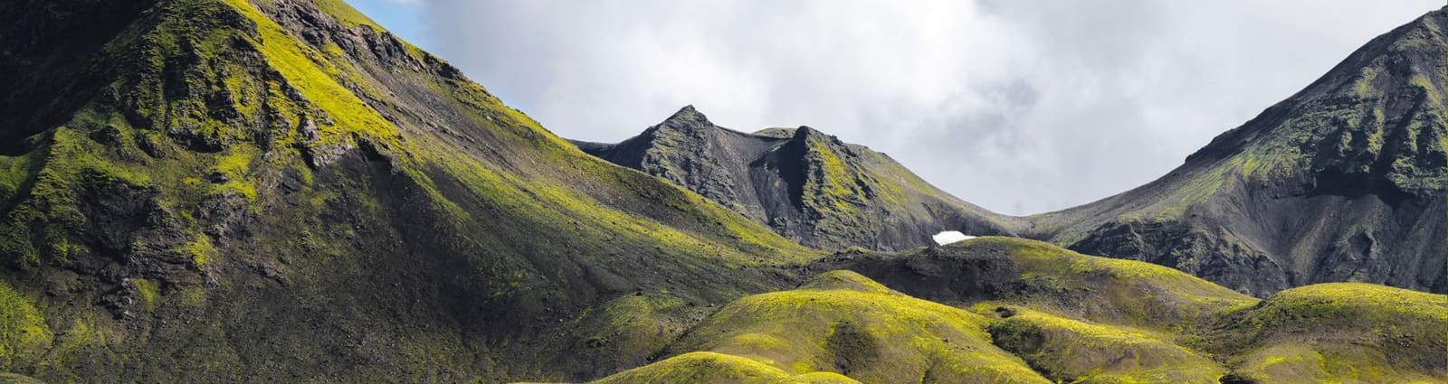
Glacier facts
- Type
- Remote glacier ridge and geothermal area
- Region
- Grímsfjall, Vatnajökull Highlands
- Best for
- Specialist glacier and geology context
- Access
- Expert-led plans only when conditions support
- Facilities
- Do not expect visitor services
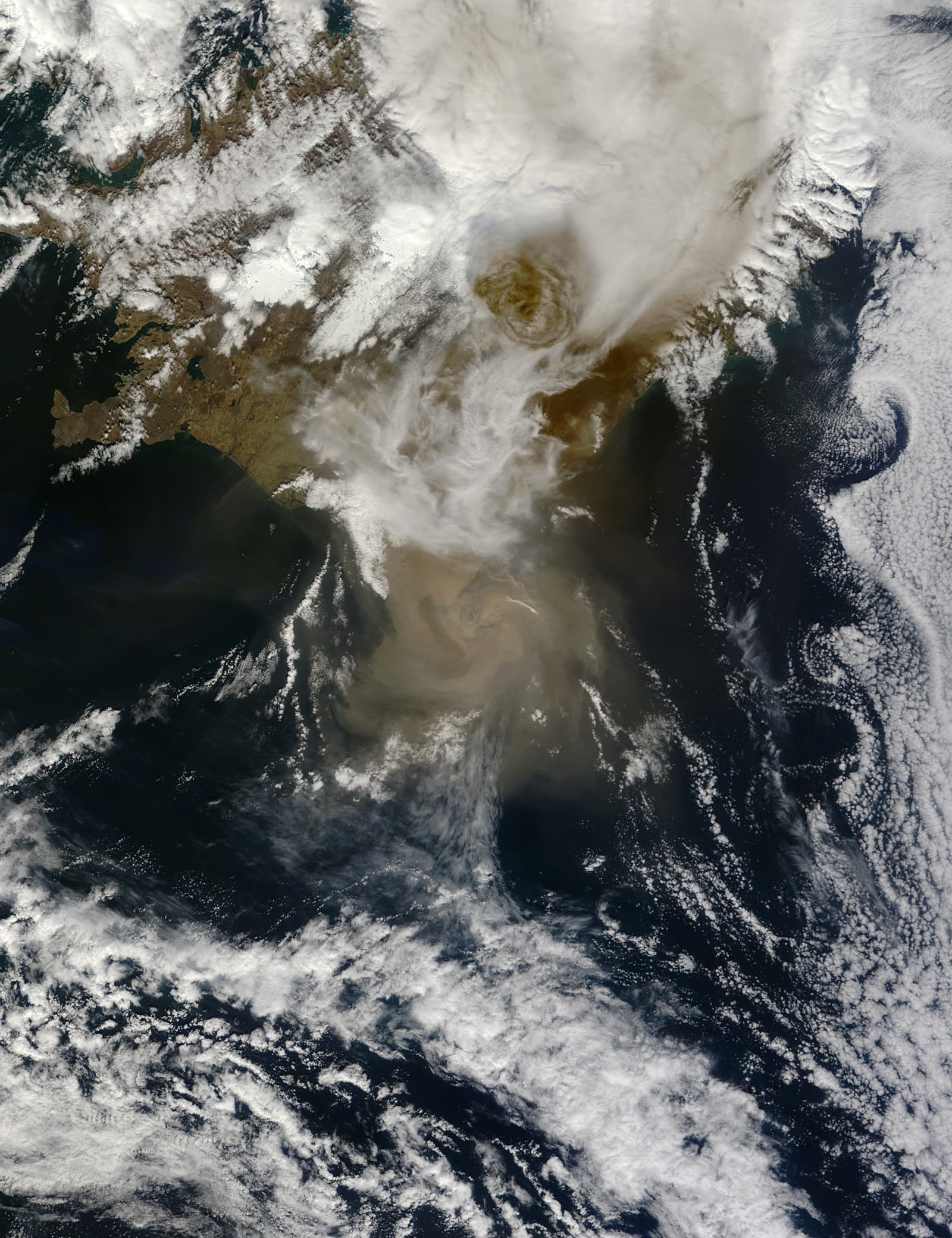
Grímsfjall is a remote ridge above the Grímsvötn caldera on Vatnajökull, useful for understanding glacier expeditions, volcanic monitoring, geothermal features, and why ordinary travelers should not treat it as a casual Highlands stop.
Glacier facts
Grímsfjall is a remote ridge above the Grímsvötn caldera on Vatnajökull. Geothermal features, monitoring equipment, glacier huts, and expedition routes may appear in research, but most travelers should treat the mountain as context rather than a target to chase.
The name can be misleading if you are browsing Iceland hot springs. This is not a managed pool, a roadside hot pot, or a reliable place to add between South Coast stops. It sits in a glacier and volcano landscape where access, weather, crevasses, hut permissions, and volcanic monitoring matter before scenery or soaking.
A practical trip decision should come early: most visitors should not plan around Grímsfjall itself. It is useful if you are researching Grímsvötn, Vatnajökull's interior, glacier expeditions, or specialist Highlands geology, but it is not a casual reward after a short walk.
The useful geography is the western Vatnajökull interior: Grímsfjall mountain, Grímsvötn's subglacial volcanic system, and the wider Highlands rather than a simple marked attraction entrance.
Grímsfjall is associated with the high, icy area around Grímsvötn in Vatnajökull National Park. Travel sources place the hot spring near Grímsfjall, while official geological and meteorological sources explain why the surrounding Grímsvötn area deserves caution: it is active, glacier-covered, geothermal, and monitored.
That setting changes the page's job. You are not choosing between two easy hot pools. You are deciding whether a remote glacier and volcano environment belongs anywhere in your trip. For many experienced Highlands travelers, Askja, Kverkfjöll, Holuhraun, or Sprengisandur will be more practical comparison points.
Grímsfjall belongs beside one of Iceland's most consequential glacier-volcano systems, so the sensible planning lens is risk management rather than ordinary sightseeing.
The Icelandic Meteorological Office identifies Grímsvötn as Iceland's most active volcanic system. Vatnajökull National Park explains how geothermal heat, subglacial volcanism, crevasses, meltwater, and jökulhlaups shape this part of the ice cap. Those facts do not mean a visit is impossible; they mean old trip reports and map pins are not enough.
Official updates after past Grímsvötn flooding have included route-avoidance advice around ice cauldrons south of Grímsfjall. Use that as a durable lesson, not as a live condition report: the glacier surface and hazard picture can change, and the correct answer may be to stay away.
Expect remoteness, uncertainty, and decision points. Do not expect signs, facilities, changing rooms, predictable bathing, or a quick photo stop.
The likely experience is not a polished attraction sequence. It is glacier-area travel where progress depends on weather windows, surface conditions, navigation, equipment, permissions, and qualified judgement. Even if geothermal water exists at the named feature, that does not create a public bathing promise.
For trip planning, the safest assumption is that this is a specialist objective. If you do not already know how the route, glacier travel, hut arrangements, safety checks, and guide support would work, choose an easier geothermal or volcanic place instead.
| Question | Continue only if | Choose another stop if |
|---|---|---|
| Purpose | You are researching Grímsfjall, Grímsvötn, or specialist glacier travel. | You mainly want a warm soak or quick scenic stop. |
| Access | Official conditions and qualified guidance support the specific plan. | The idea depends on a map pin or old online description. |
| Flexibility | Your route can change without losing the trip. | Your itinerary needs certainty, facilities, or fixed timing. |
You can understand the same fire-and-ice theme through safer and clearer places, especially if this is your first Highlands or South Coast trip.
If the appeal is volcanic scale, compare Askja, Bárðarbunga, or Holuhraun. If the appeal is the central Highlands, Landmannalaugar and Sprengisandur give clearer planning frameworks. If the appeal is Vatnajökull itself, use marked South Coast glacier areas or guided glacier activities instead of improvising toward Grímsfjall.
Grímsfjall still has a place in a structured guide because it explains a real name that travelers may find in volcano, glacier, hut, and geothermal research. Its value is to slow the decision down, connect the mountain to Grímsvötn and Vatnajökull, and make clear why most people should leave it as specialist context.
Check current volcanic information before relying on Grímsvötn-area plans.
Use glacier safety and crevasse information before any glacier travel.
Check road notifications and access conditions before Highlands driving.
Check wind, visibility, temperature, warnings, and precipitation before remote glacier-area plans.
By ThorPublished
Map
Use nearby places and useful bases before opening directions.
Interactive planning map for Grímsfjall
Interactive map
Place context and external map links remain available without loading it.
Planning context
Open the region or practical guide that resolves the next planning decision.
Next step
Use the next page that helps turn this stop into a practical route decision.