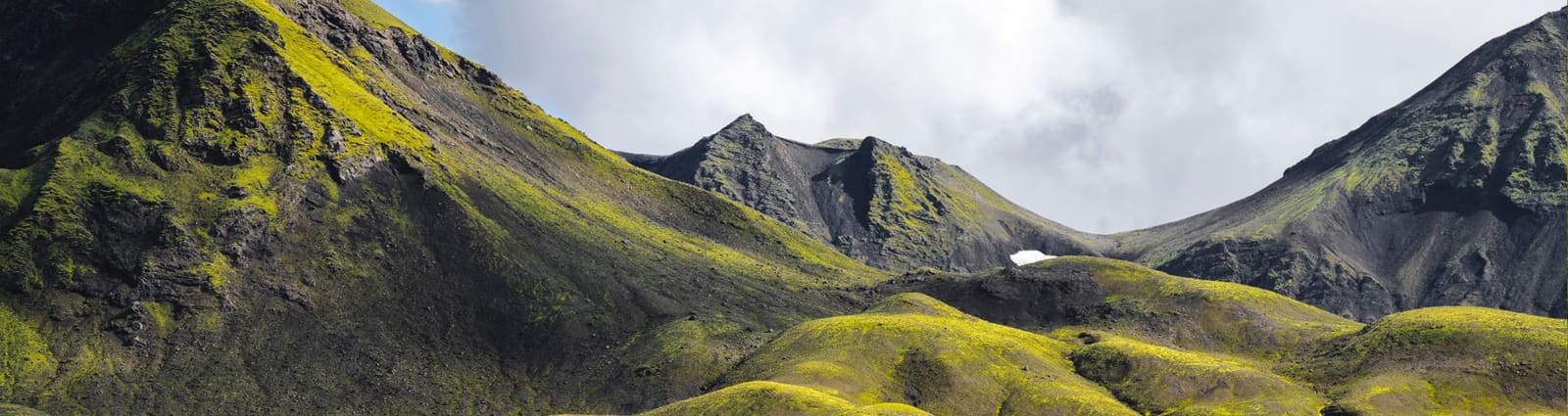
Access reality
- Type
- Highland route context
- Road
- F26, also called Sprengisandsleið
- Region
- Central Highlands interior
- Best for
- Prepared remote-route planning
- Nearby
- Nýidalur, Þjórsárver, Hofsjökull
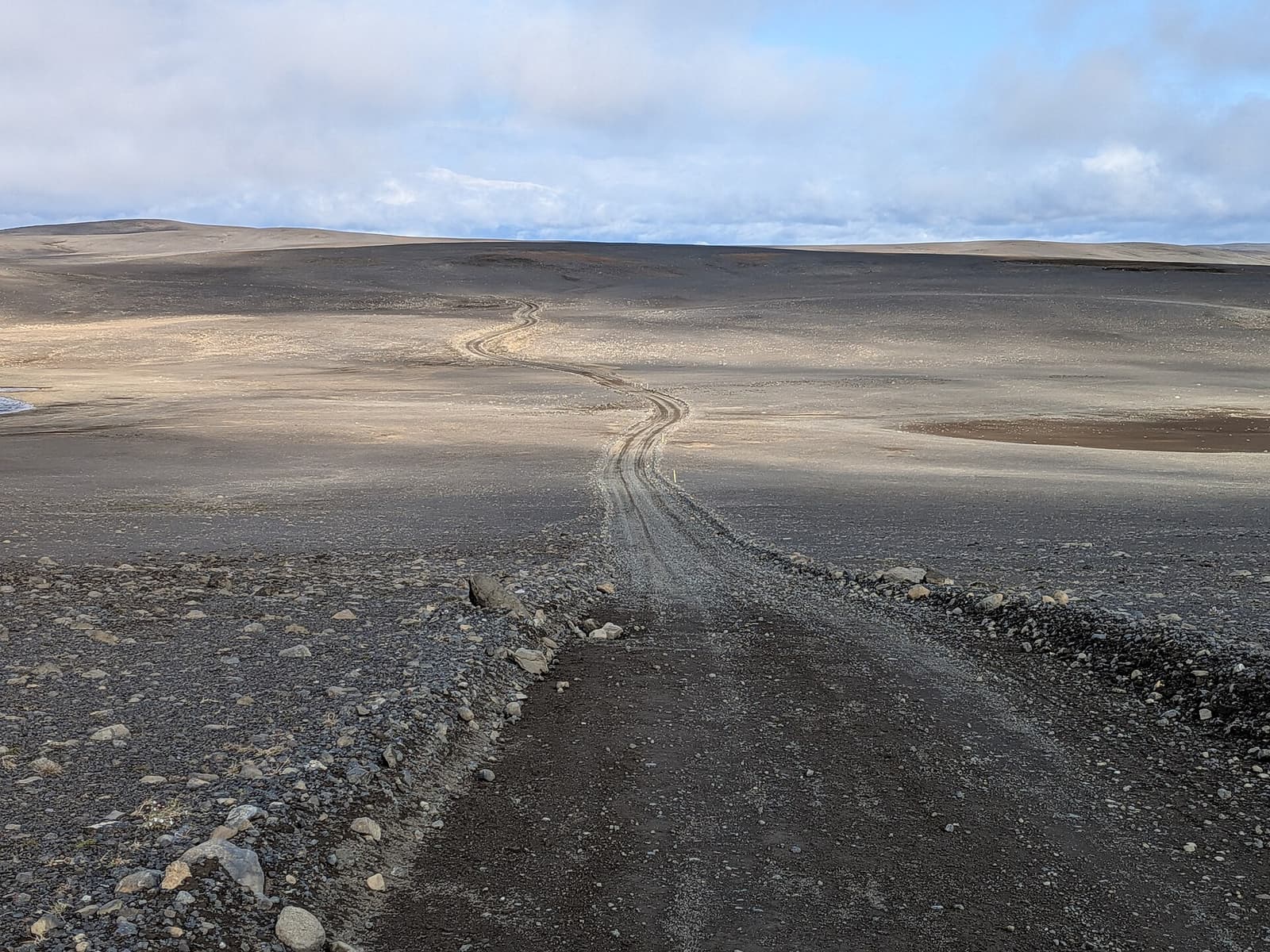
Sprengisandur helps prepared Highlands travelers understand the remote F26 crossing through Iceland's interior, especially when deciding whether the emptiness, Nýidalur midpoint, road conditions, and vehicle demands fit a real trip.
Access reality
Sprengisandur is best understood as a remote highland route context page, not a conventional attraction page.
Travelers usually meet the name while looking at F26, also called Sprengisandsleið, across Iceland's central Highlands. The route is about a long interior crossing through empty volcanic ground, not a single viewpoint to add between easier stops.
The honest decision is whether this much remoteness belongs in your trip. Sprengisandur can be memorable for prepared self-drivers who want severe highland scale, but most first-time Iceland itineraries will get better value from clearer destination-led places such as Landmannalaugar, Kerlingarfjöll, or a more modest route comparison with Kjölur / Kjalvegur.
The road number matters because it changes the whole planning standard.
F26 crosses a high, exposed interior where rough surfaces, sparse services, and unbridged rivers can make ordinary road-trip assumptions weak. SafeTravel's highland-driving guidance is blunt about the difference: highland roads can be rough, conditions change quickly, and river crossings require conservative judgment.
That means Sprengisandur should be planned from road status, weather, vehicle permission, fuel margin, and turnaround options before scenery. If those checks are uncertain, the practical answer is usually to choose another route rather than force the crossing.
| Trip situation | Route judgement | Check before committing |
|---|---|---|
| Remote Highlands crossing is the goal | F26 may fit the trip | Roads, weather, vehicle, river conditions |
| You want a normal scenic shortcut | Choose an easier route | Schedule pressure, backup options |
| Nýidalur is part of the plan | Build the day around confirmed details | Hut, camping, access, road status |
| Visibility or wind is poor | Keep a conservative alternative | Forecasts, alerts, turnaround margin |
The midpoint matters because it breaks up the emptiness and gives travelers a real planning anchor.
Nýidalur is the place to understand before treating Sprengisandur as usable. Vatnajökull National Park describes the area as a highland setting where access is for four-wheel-drive jeeps during the summer and unbridged rivers can swell rapidly. FÍ also places its Nýidalur huts directly in the Sprengisandsleið context.
For many travelers, planning Sprengisandur by segments is more realistic than treating it as one fixed drive. Nýidalur can be a rest, overnight, or reassessment point, but facility availability, hut details, campsite details, and access should be confirmed directly before you build a schedule around them.
Sprengisandur rewards travelers who want scale more than a list of classic sights.
The visual appeal is stark rather than lush: gravel plains, dark volcanic textures, wide sky, distant glacier presence when conditions allow, and long periods where the lack of built detail becomes the main impression. Some travelers find that powerful; others find it monotonous and stressful.
The route pairs best with a wider Highlands plan, not a packed sightseeing day. Þjórsárver, Hofsjökull, and Ódáðahraun help explain the surrounding interior, while North Iceland stops such as Aldeyjarfoss can make the northern end feel less abstract.
The final decision should come from official checks, not from old trip reports or ambition.
A good Sprengisandur plan is conservative. Stay on marked roads and tracks, avoid off-road driving, and treat protected or fragile interior landscapes as part of the reason to travel carefully. If the checks do not line up, the better route is the one you can drive without turning uncertainty into risk.
Check current road status and notifications before relying on F26.
Official guidance for rough roads, rivers, vehicle fit, and changing conditions.
Confirm hut, camping, access, and operating details directly.
National Park context for the central Highlands, access, and river caution.
By ThorPublished Updated
Map
Use nearby places and useful bases before opening directions.
Interactive planning map for Sprengisandur
Interactive map
Place context and external map links remain available without loading it.
Planning context
Open the region or practical guide that resolves the next planning decision.
Next step
Use the next page that helps turn this stop into a practical route decision.