Quick guide
- Type
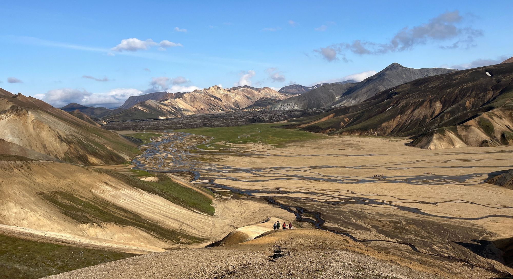
- Volcanic mountain and marked summit hike above Landmannalaugar
- Region
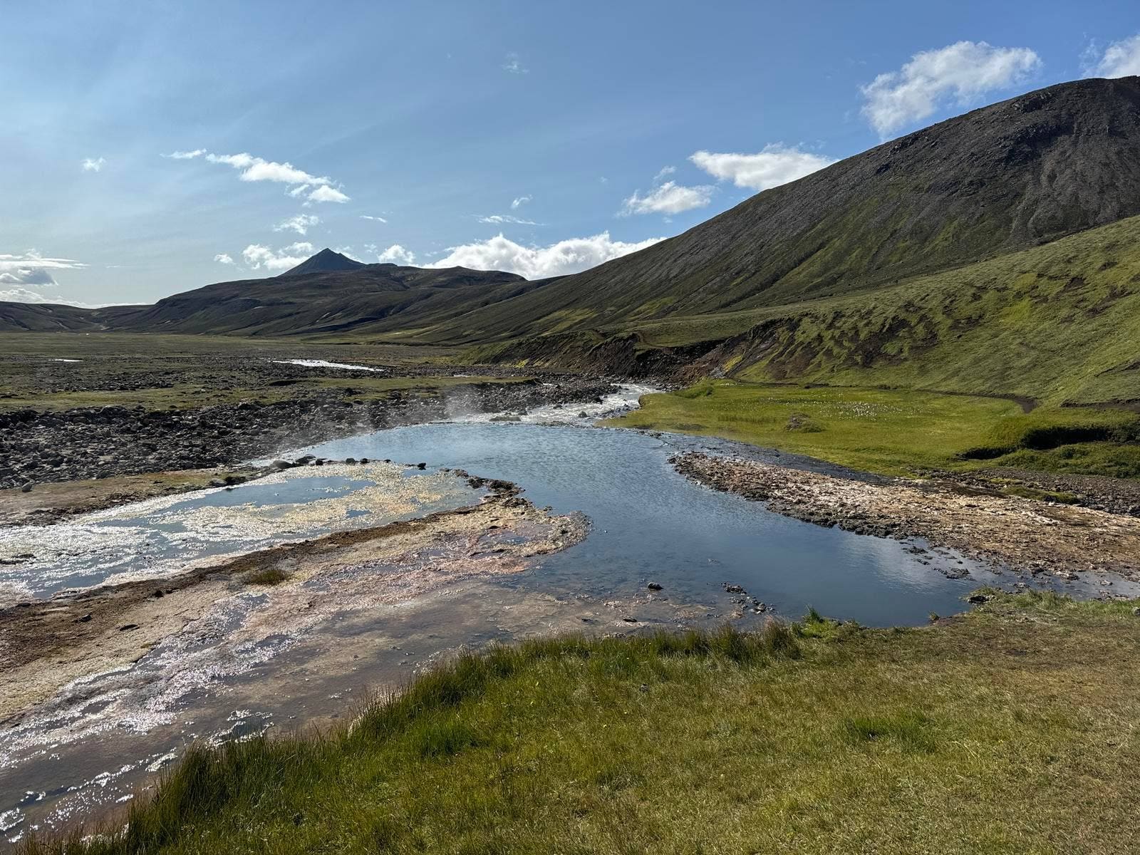
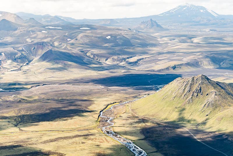
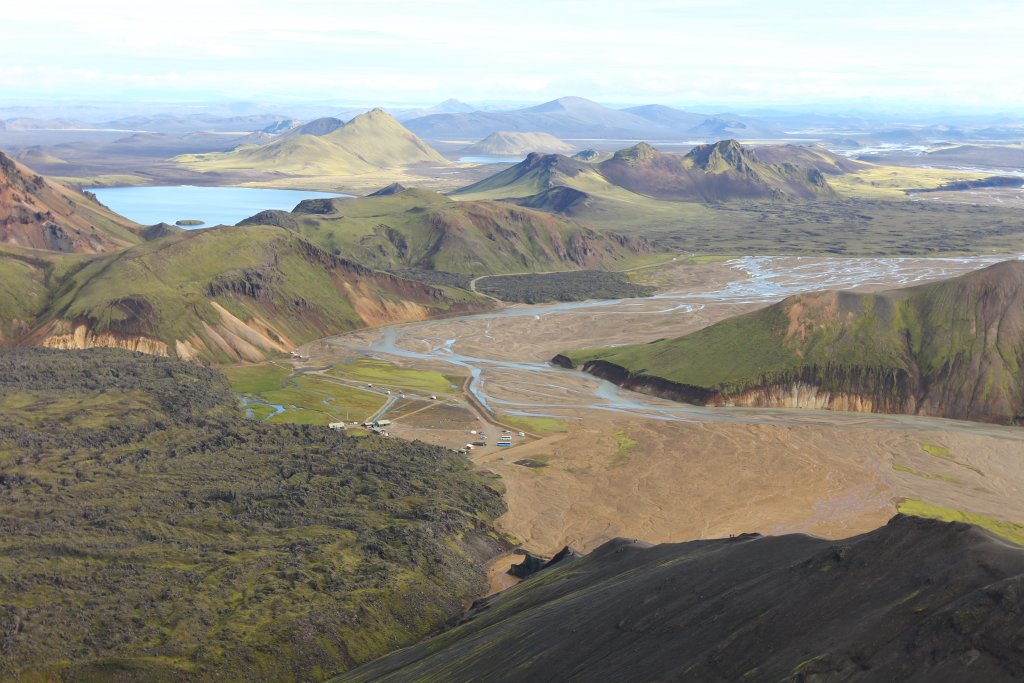
- Fjallabak Nature Reserve in the southern Highlands
- Route context
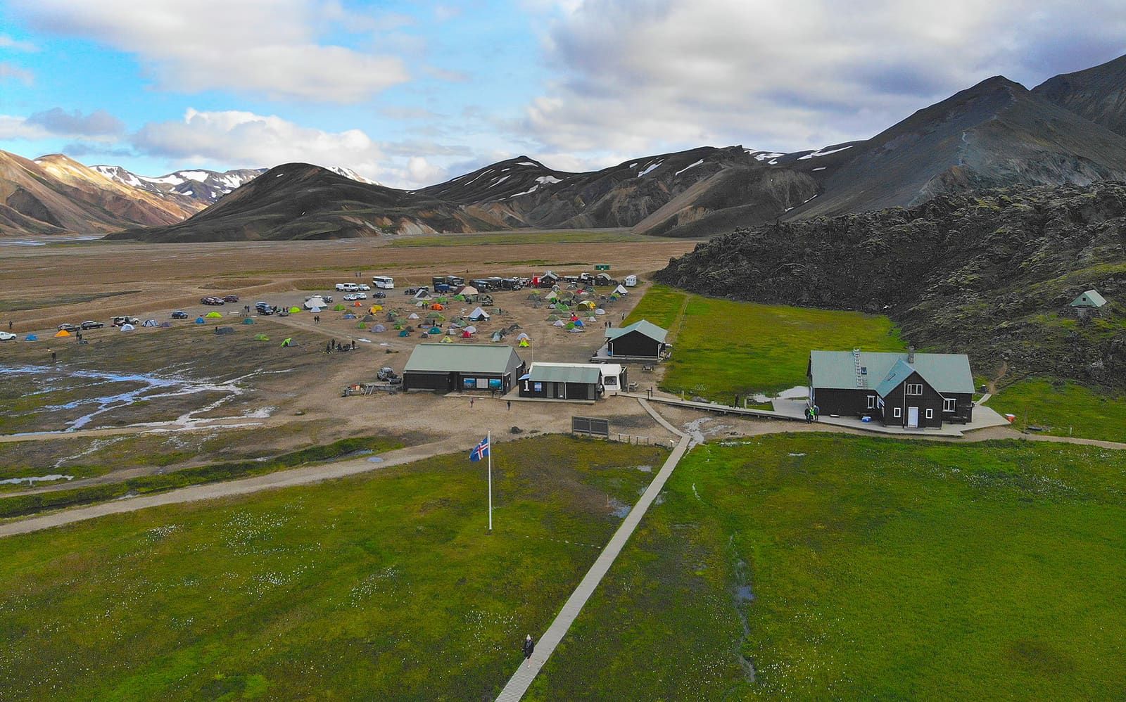
- A Landmannalaugar hiking choice, reached through Highlands access rather than a normal Ring Road pullout
- Time to allow
- About 3 hours for the direct marked hike; longer if you combine it with other Landmannalaugar trails
- Walking effort
- Short but steep, with loose ground, exposed-feeling sections, and weather-sensitive visibility
- Best experience
- Clear summer weather, enough daylight, and a plan that lets the summit stay optional
- Access reality
- Roads, vehicle rules, parking details, and trail advice should be checked with official sources before committing
- Nearby pairings
- Best paired with Landmannalaugar valley walks, Fjallabak scenery, Dómadalur, or a wider Highlands route