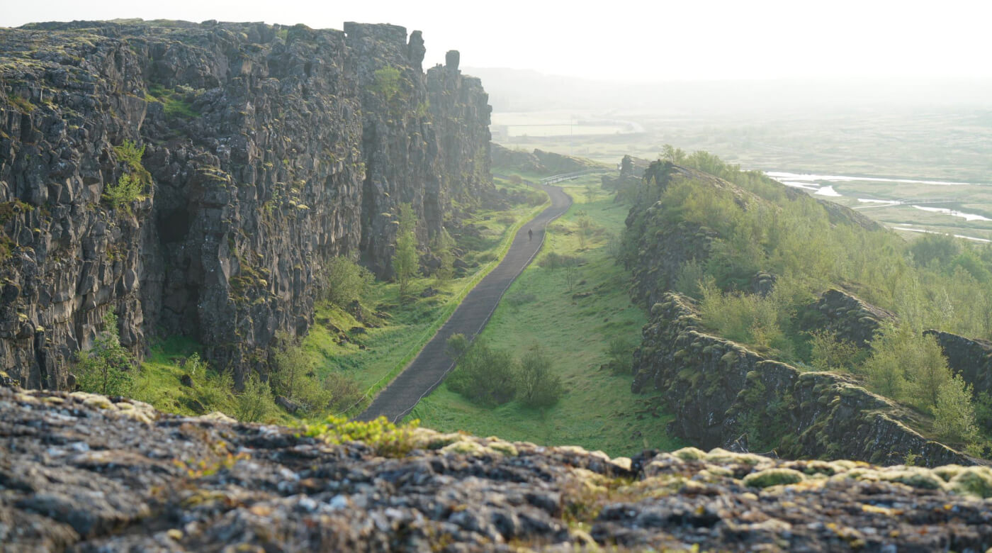
Almannagjá is the main rift walk inside Þingvellir National Park, where the Golden Circle stop becomes more than a viewpoint if you allow time for the Almannagjá gorge hike, cliffs, history, and nearby paths.
Quick guide
Type
Rift gorge, marked walking route, and historic Þingvellir landscape
Region
South Iceland, inside Þingvellir National Park
Route context
Golden Circle, usually paired with Þingvellir, Geysir, and Gullfoss
Typical time
30 to 90 minutes, depending on how far you connect the path
Best experience
Walk the gorge slowly enough to connect cliffs, Lögberg, and the park setting
Access reality
Marked paths and boardwalks can still be slippery, crowded, icy, or restricted
Pairs well with
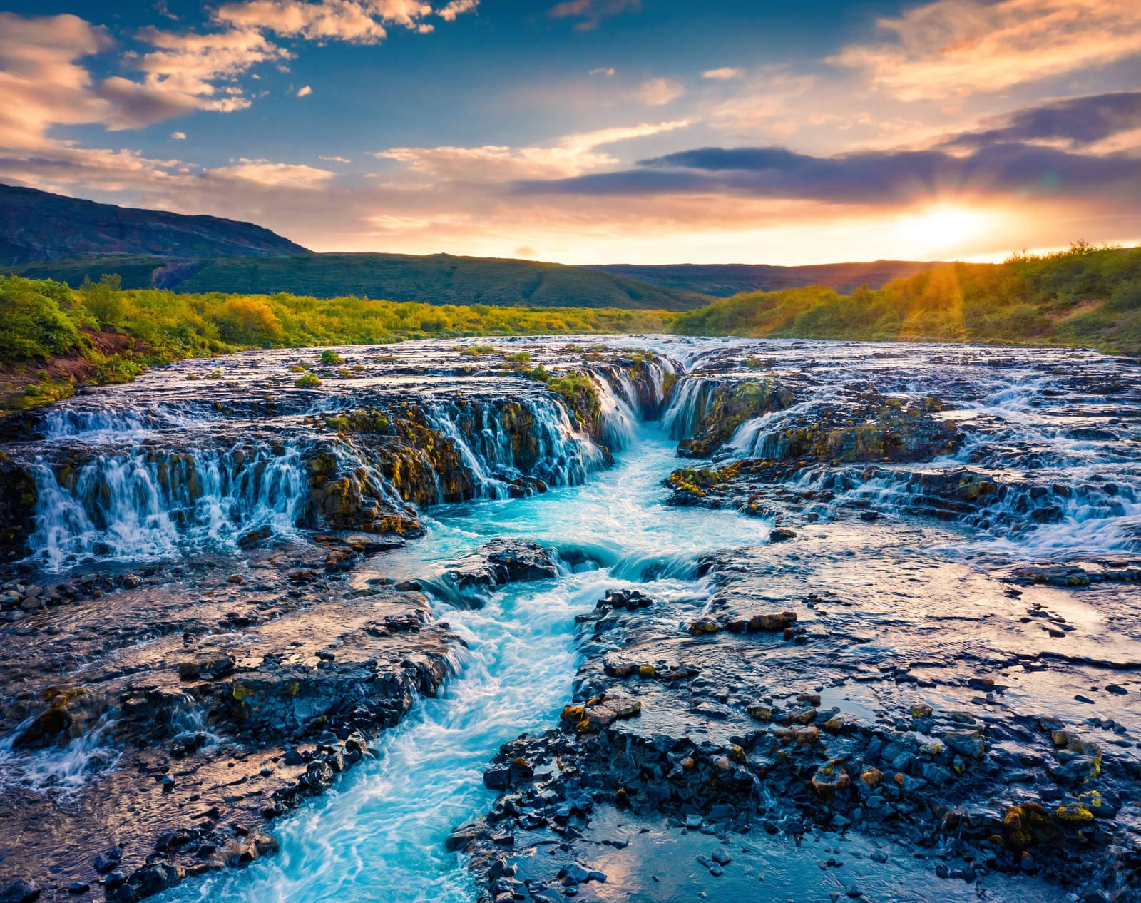
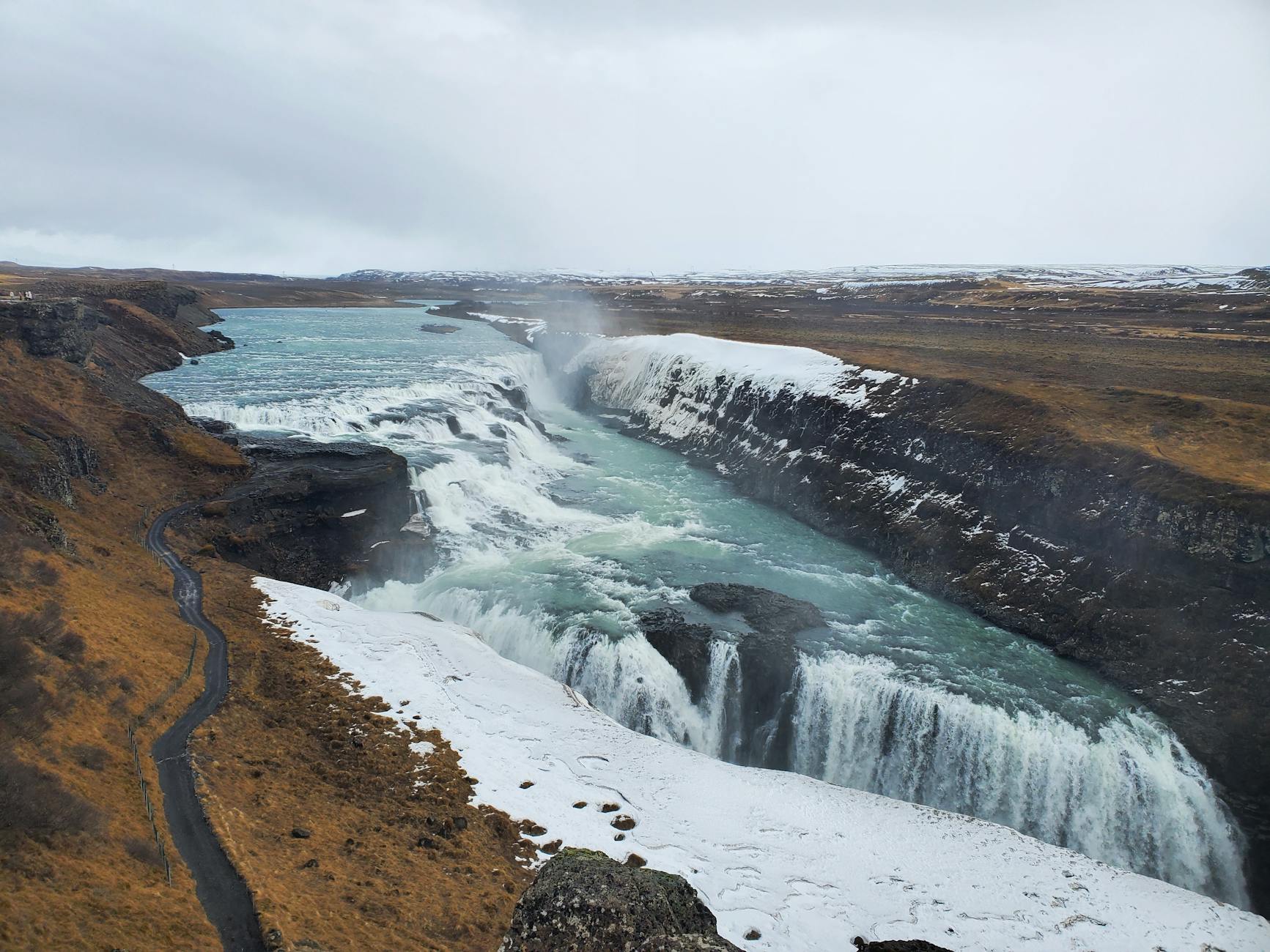
Öxarárfoss, Lögberg, Þingvellir, Brúarfoss, Geysir, and Gullfoss
Before you go
Use official park, road, weather, and safety sources for conditions and visitor details
Is Almannagjá worth stopping for on the Golden Circle?
Yes, if you are already visiting Þingvellir and want the park to feel like a place you walked through, not a viewpoint you checked off.
Almannagjá is the clearest walking experience at Þingvellir National Park. The rift cliffs, marked path, Lögberg area, and views toward the wider park make the stop more useful than a quick look from the top.
Go if your Golden Circle day has room for 30 to 90 minutes on foot. Skip a longer Almannagjá walk if the day is already overloaded with Gullfoss, Geysir, Brúarfoss, Kerið, and winter road checks.
Worth the stop?
When this stop makes sense
Good match for
Golden Circle travelers who want a real Þingvellir walk
first-time visitors comparing scenery and history in one stop
self-drive routes with flexible walking time
travelers who prefer marked paths over a quick photo pullout
Think twice if
travelers trying to make Þingvellir a five-minute stop
plans with no weather, daylight, or path-condition buffer
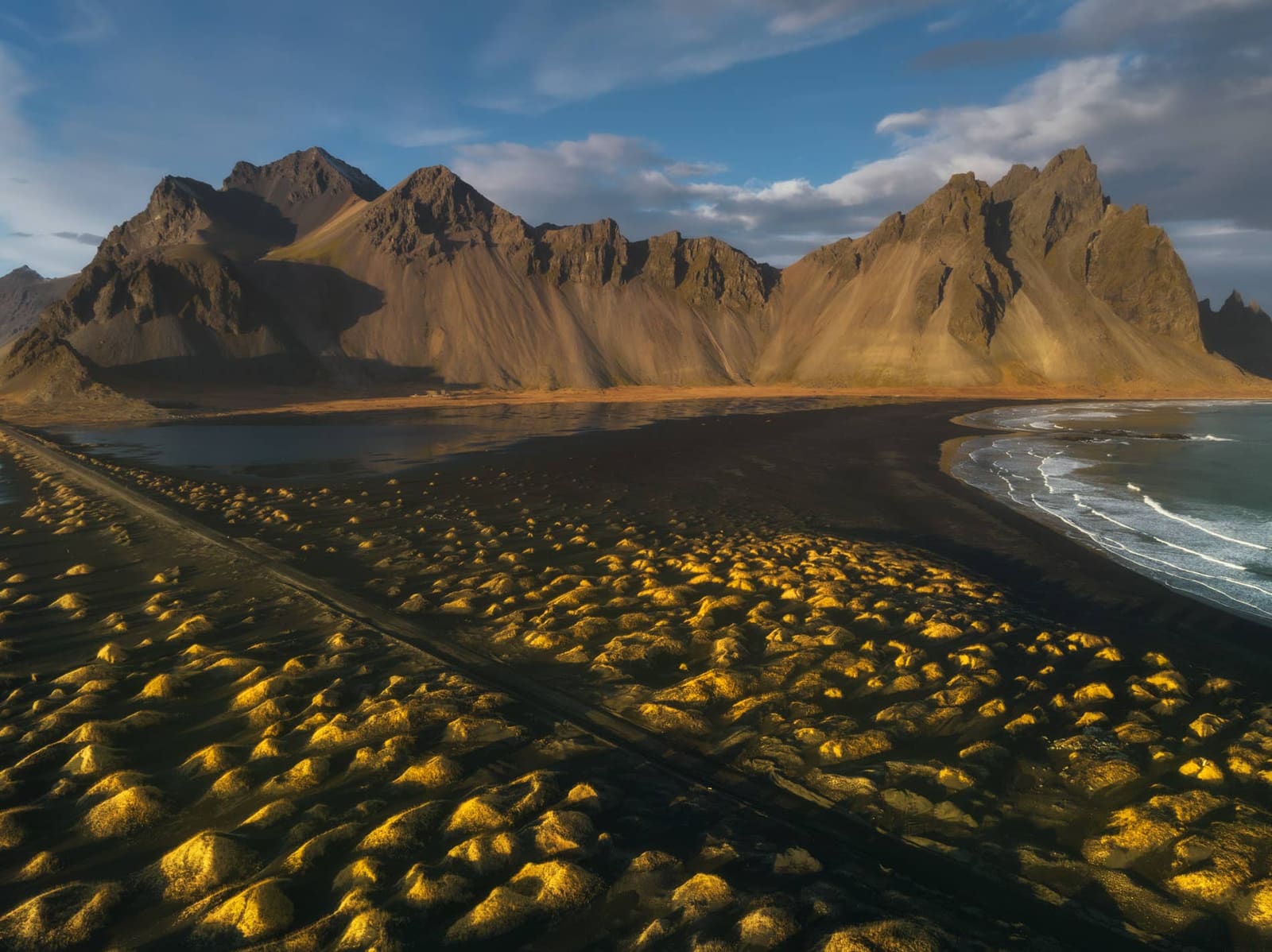
The Almannagjá gorge walk feels more about scale and sequence than distance. You move below dark rock walls, past open park views, and toward the places where Þingvellir's geology and history overlap.
The cliff line gives the walk its identity. In clear weather it feels open and easy to read; in wind, rain, snow, or crowd pressure, the same path can feel slower and more exposed.
Visitor scale makes the rift cliffs easier to understand than a distant viewpoint.
The path works best when you let it connect nearby sights instead of treating each feature as separate. Almannagjá, Lögberg, and Öxarárfoss are close enough in planning terms that the order matters more than the checklist.
How much time should you give Almannagjá?
Allow 30 to 90 minutes for most visits. The shorter version gives you the rift impression; the slower version makes Þingvellir feel like a layered historic landscape.
Three practical versions
Quick walk
30 to 45 minutes for the main gorge impression and a few photos.
Balanced visit
45 to 75 minutes for Almannagjá, Lögberg, and a more settled sense of the assembly landscape.
Slow Þingvellir stop
75 to 90 minutes or more when you also add Öxarárfoss, viewpoint pauses, or photography.
Bad-weather version
Let wind, ice, path condition, daylight, and official guidance decide how far to walk.
If you only have a few minutes, the broader Þingvellir page is the better planning frame. If you can walk, Almannagjá is the part that makes the park's rift landscape feel physical.
From above, Almannagjá reads as a route through a wider park, not a single photo point.
Should you add Lögberg or Öxarárfoss?
Yes, when time and conditions allow. Lögberg gives the walk its strongest historical context, while Öxarárfoss adds a short waterfall extension inside the same park visit.
Lögberg is the natural first add-on if you want to understand why Þingvellir matters beyond geology. It keeps the route focused on the assembly-site landscape rather than turning the day into disconnected stops.
Lögberg is the reason the rift walk carries cultural weight as well as scenery.
Öxarárfoss is the scenic extension to consider when the walking surface, weather, and daylight are working with you. It pairs naturally with Almannagjá, but it should not force you to rush the rest of the Golden Circle.
Öxarárfoss is the most natural scenic add-on when the Almannagjá walk has room.
Where does Almannagjá fit with Geysir and Gullfoss?
Use Almannagjá early enough in the Golden Circle day that it does not become the rushed historical stop between bigger-name sights.
For many self-drive trips from Reykjavík, Þingvellir and Almannagjá work well before Geysir and Gullfoss. That order gives the walking stop a clear place before the day becomes more waterfall-and-geothermal focused.
If your day also includes Brúarfoss or Kerið, be stricter. Almannagjá adds value when you walk it; it weakens the route when it becomes one more rushed pause in an already crowded loop.
Short Golden Circle day: Almannagjá, Geysir, and Gullfoss are enough for many travelers.
Fuller scenic day: add Brúarfoss or Kerið only after the walking time still feels realistic.
Winter day: keep the loop simpler and use official road and weather checks before committing to extra detours.
What should you check before walking the gorge?
This page is planning guidance, not live condition confirmation. Use official sources for roads, weather, safety, visitor details, and any park notices before you make the stop fixed.
Almannagjá is a marked and popular walking area, but that does not make every visit effortless. Wind, ice, wet boards, crowding, parking pressure, and protected-area rules can change the practical decision.
Marked paths make the route legible, but conditions should decide how far you go.
Safety and travel-condition checks before committing to outdoor plans.
Common Almannagjá planning questions
These are the questions that usually decide whether Almannagjá becomes a quick look, a proper Þingvellir walk, or a shorter stop.
Is Almannagjá separate from Þingvellir?
No. Almannagjá is one of the main walking areas inside Þingvellir National Park, so plan it as part of the wider park visit rather than as a separate destination.
Can you see Almannagjá on a quick Golden Circle day?
Yes, but it is more satisfying with walking time. If the day is tight, choose a short gorge walk instead of trying to add every nearby stop.
Is Almannagjá a difficult hike?
Usually it is a marked walking stop rather than a demanding hike, but surfaces, ice, wind, and access details can change the effort. Verify current visitor details with the official site before relying on a low-friction visit.
Should Almannagjá replace the full Þingvellir stop?
No. Almannagjá is the best spine of many Þingvellir visits, but the wider park page is still the better guide if you want lake context, Silfra, the church area, or a slower historical visit.
Is Almannagjá a hike or a walk?
For most visitors, Almannagjá is better described as a walk than a hard hike. Searchers asking for an Almannagjá gorge hike usually need walking time, route fit, footing, and weather guidance rather than a wilderness trail plan.
Map
See where this stop sits
Use nearby places and useful bases before opening directions.
Region
South Iceland
Works well with
Golden Circle
Useful base
Selfoss
Interactive planning map for Almannagja
Almannagja
Keep exploring
Put this place in route context
Use nearby places and planning pages to decide whether this stop strengthens the route or stays optional.