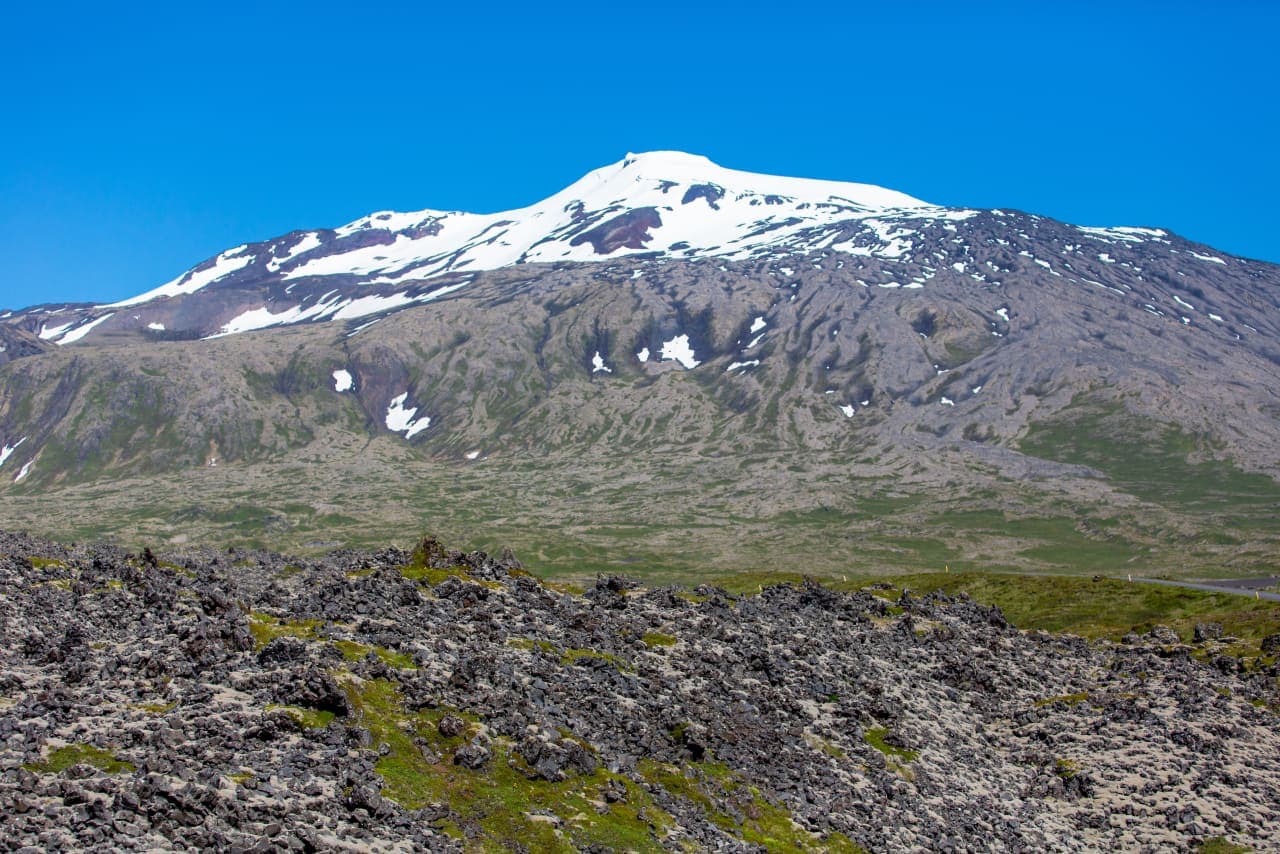
Snæfellsjökull is a 1,446-metre glacier-capped volcano and the defining landmark of western Snæfellsnes. Most people experience it from the national park coast and surrounding roads; going onto the glacier is a separate, guided undertaking.
Glacier facts
Height
1,446 m
What it is
An active stratovolcano capped by a glacier
Last eruption
About 1,800 years ago
National park
Established in 2001; 183 km² from mountain to coast
Access reality
The park is an independent visit; glacier travel needs a suitable guided trip
In this guide
A glacier sits over an active volcano
The white cap is only the newest layer of a much older volcanic landscape.
Snæfellsjökull rises 1,446 metres above the western end of Snæfellsnes. Beneath its glacier is an active stratovolcano. The national park says the volcanic system runs for about 30 kilometres and last erupted around 1,800 years ago. Lava from the summit crater and smaller craters on the slopes helped build the rough ground seen around the mountain today.
The geology is readable from below. Lava fields spread toward the coast, while tuff peaks, pumice, caves and old sea cliffs appear around the park. Newly exposed ground near Jökulháls also shows that the ice cap is retreating. Snæfellsjökull is therefore not simply a scenic patch of ice; it is the centre of a volcanic landscape still changing under weather and climate.
The coast and glacier often work together as one Snæfellsnes route moment.
The mountain is bigger than one stop
There is no single platform that contains the Snæfellsjökull experience.
On a clear day the ice cap appears above lava, farms and fishing villages from several sides of the peninsula. From Búðir and the south coast it is a distant white backdrop. Closer to the west, the mountain rises behind the lava fields and sea cliffs of Snæfellsjökull National Park. Cloud can hide the summit even when the coast below is bright.
That changing view is part of the attraction. Lóndrangar places the volcano behind old crater plugs and Atlantic cliffs, while Djúpalónssandur shows the black-beach side of the same volcanic system. Saxhóll gives a smaller crater viewpoint. These are not consolation stops; together they explain what the mountain has made.
At Lóndrangar, sea stacks, lava and the clouded mountain read as one volcanic landscape.
Its story reaches beyond geology
Snæfellsjökull has long been both a real mountain and a place for imagined journeys.
Jules Verne used Snæfellsjökull as the entrance to the underworld in his 1864 novel Journey to the Centre of the Earth. The story made the name familiar far beyond Iceland and still shapes how many visitors first hear about the mountain. The book is fiction, but its choice of setting makes sense: ice, a summit crater, lava caves and a remote ocean edge already suggest another world.
The local cultural landscape is older and more grounded. The park records farms, landing places, fish-drying sheds and stories linked to Bárður Snæfellsás. Fishing drew people to settlements beneath the glacier from the Middle Ages onward. For more of that human history, the national park centres at Hellissandur and Malarrif add context that a roadside view cannot.
Most visits stay below the ice
Seeing Snæfellsjökull and travelling on its glacier are two different activities.
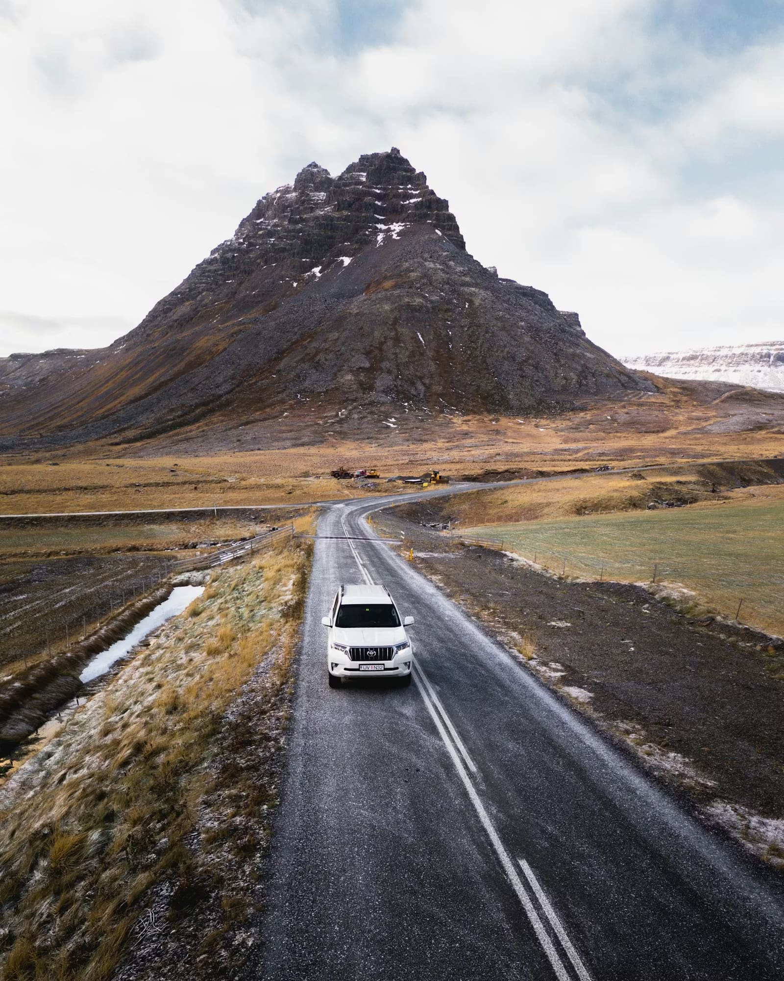
Most travelers experience the mountain independently from the paved road through the park, short paths and coastal attractions. You do not need a glacier tour to understand its scale. A clear view from the lava fields or coast can be the strongest moment, and the surrounding park remains worthwhile when low cloud covers the top.
The park centre at Hellissandur connects the glacier-volcano with the landscape and communities around it.
Roads 570 and F575 lead higher toward the glacier, but the park warns that they are not open all year; F575 is an F-road for 4x4 vehicles. Going onto the glacier adds ice, crevasse, navigation and weather risks. Use a suitable guide and current provider instructions rather than treating the summit as an ordinary extension of the sightseeing road.
Make the park useful in any visibility
A good Snæfellsjökull visit still works when the summit disappears.
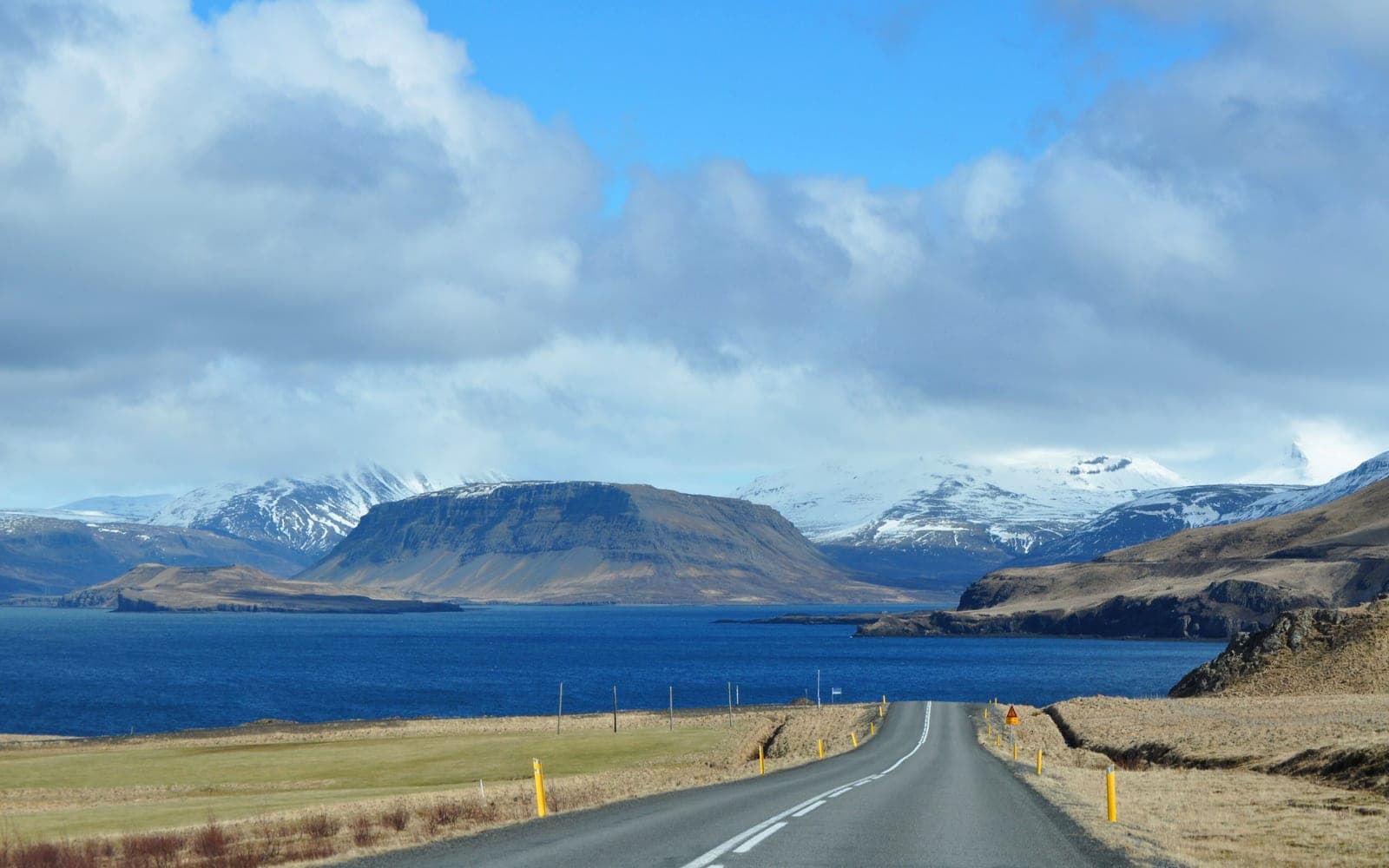
If the mountain is clear, pause when the view opens rather than chasing one prescribed photo point. If cloud closes in, keep the day focused on the park itself: lava coast, marked paths, visitor centres and nearby places such as Vatnshellir Cave. The Snæfellsnes Peninsula road trip gives these places enough context without turning every stop into a checklist.
Before leaving, check the park for notices and travel rules, then use the official road and weather services. This matters most for higher access, strong wind, winter conditions and plans with little spare time.