Choose a route and vehicle that match the road type, check official road and weather information every day, leave margin for change, and be willing to shorten or cancel a drive.
Daily check
Review roads, weather warnings, and SafeTravel alerts before departure and when conditions change.
Road categories
Main paved roads, gravel roads, and Highland F-roads require different assumptions.
Main risk
Treating map estimates and bookings as stronger than current conditions.
Best habit
Keep one route element optional and protect enough margin to reach the overnight safely.
Decision summary
Daily check
Review roads, weather warnings, and SafeTravel alerts before departure and when conditions change.
Road categories
Main paved roads, gravel roads, and Highland F-roads require different assumptions.
Main risk
Treating map estimates and bookings as stronger than current conditions.
In this guide
Should you drive in Iceland?
Self-driving works when the group is comfortable adapting the day, checking conditions, and choosing a route that matches its experience.
A car gives control over stops, bases, and timing, but it also makes the driver responsible for weather decisions, road suitability, fatigue, parking, and reaching the next overnight.
Choose guided transport or a Reykjavík-based trip when no one wants that responsibility. Self-drive is not automatically better simply because a road appears open on a map.
Ordinary speed limits: Unless signs say otherwise: 50 km/h in urban areas, 80 km/h on rural gravel roads and 90 km/h on rural paved roads. Reduce speed when conditions require it.
Two-lane roundabouts: Traffic in the outer lane must yield to traffic exiting from the inner lane. Check carefully before crossing another vehicle’s path.
Seatbelts and children: Everyone must wear a seatbelt. Children shorter than 135 cm need a restraint suited to their age, height and weight. Arrange it with the rental company.
Phones and navigation: Do not handle a phone or tablet while driving. Set navigation before moving and park safely before changing it.
Paved main roads, gravel roads, and Highland F-roads create different vehicle and risk decisions.
Match the plan to the road context.
Road context
Planning approach
Verify
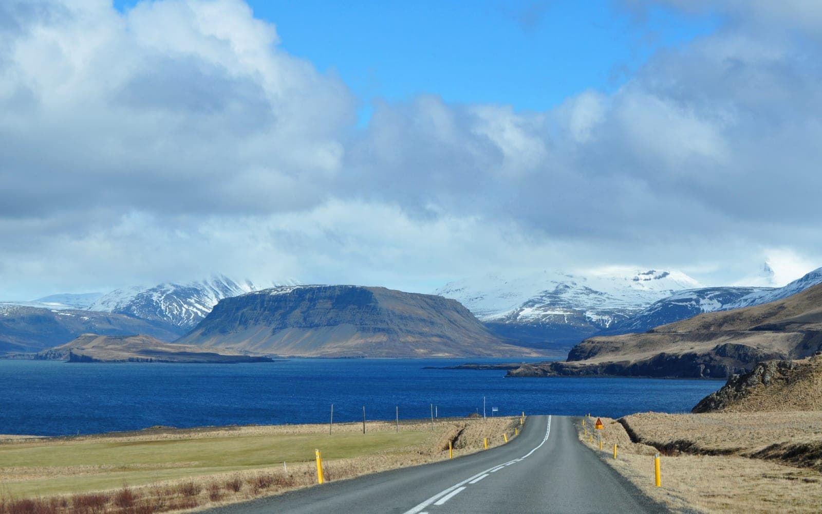
Main paved routes
Suitable for many normal self-drive trips
Weather, closures, wind, daylight, and distance
Gravel and secondary roads
Slow down and allow more margin
Surface, shoulders, rental restrictions, and conditions
Highland F-roads
Treat as a separate route category
Opening, vehicle legality, rental permission, crossings, and guidance
Closed or restricted roads
Do not enter
Official closure information rather than crowd-sourced shortcuts
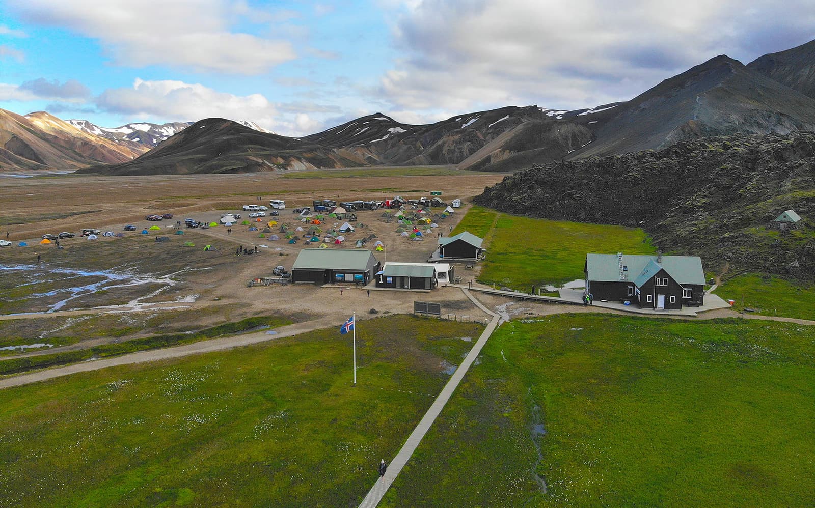
A vehicle upgrade does not make every route sensible. If Landmannalaugar is the destination, road status, driver experience, river crossings, weather, and rental terms still control the decision.
Slow down before the transition from pavement to gravel; do not wait until the tires reach the loose surface.
Approach single-lane bridges slowly and check for oncoming vehicles before entering.
Keep headlights and taillights on throughout the year; an automatic daytime setting may not turn on both.
Use a safe parking place for photos and phone checks, away from the traffic lane.
Stay on permitted roads. An F-road or gravel road is a road; driving onto unmarked terrain is off-road driving.
What should you check every driving day?
Use a repeatable check before departure instead of assuming yesterday's conditions still apply.
Open Umferdin and review the full route, closures, conditions, and available cameras.
Check the Icelandic Met Office forecast and warnings for every region crossed.
Review SafeTravel alerts for route-specific hazards or disruptions.
Confirm that the vehicle and rental agreement allow every planned road.
Reduce the stop list if the safe arrival margin is shrinking before departure.
The August 12, 2026 eclipse showed why major events need a separate traffic plan. The Iceland solar eclipse archive records that event's regional controls and planning lessons; use current road and event sources for every present-day drive.
How long should a driving day be?
Build the day around total route pressure rather than a single map estimate.
Map time excludes meals, fuel, restrooms, parking, walking, photography, slower surfaces, queues, weather, and missed turns. Long transfers also reduce attention when the driver needs it most.
Keep one attraction or detour optional.
Place fuel and meal checks before remote stretches.
Avoid making late check-in depend on perfect conditions.
Share driving only when every driver is permitted, rested, and comfortable.
When should you shorten or cancel the drive?
Change the plan before conditions or fatigue remove safe alternatives.
Shorten the day when official warnings affect the route or vehicle.
Stop when wind, visibility, ice, water, or surface conditions exceed the driver's confidence.
Drop remote detours when daylight or fuel margin is weaker than planned.
Do not let a hotel, tour, or prepaid activity pressure the driver past a safe decision.
Wind exposure, travel delays and changing conditions.
How can you reach emergency help on the road?
Save emergency contacts before leaving reliable coverage, and carry a charged phone and power bank.
Iceland's 2G/3G shutdown can affect emergency calls on some phones, including models bought abroad. Before a remote drive, follow 112's compatibility guidance: its test service is 1280, not 112. The 112 app and online chat provide other contact routes when a connection is available. Save offline maps and share your route; a backup number does not create mobile coverage.