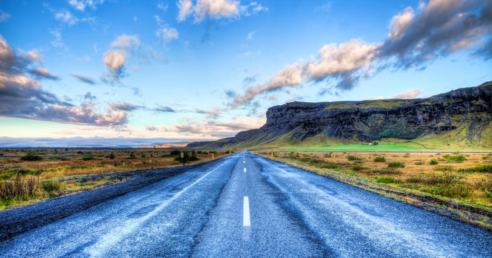
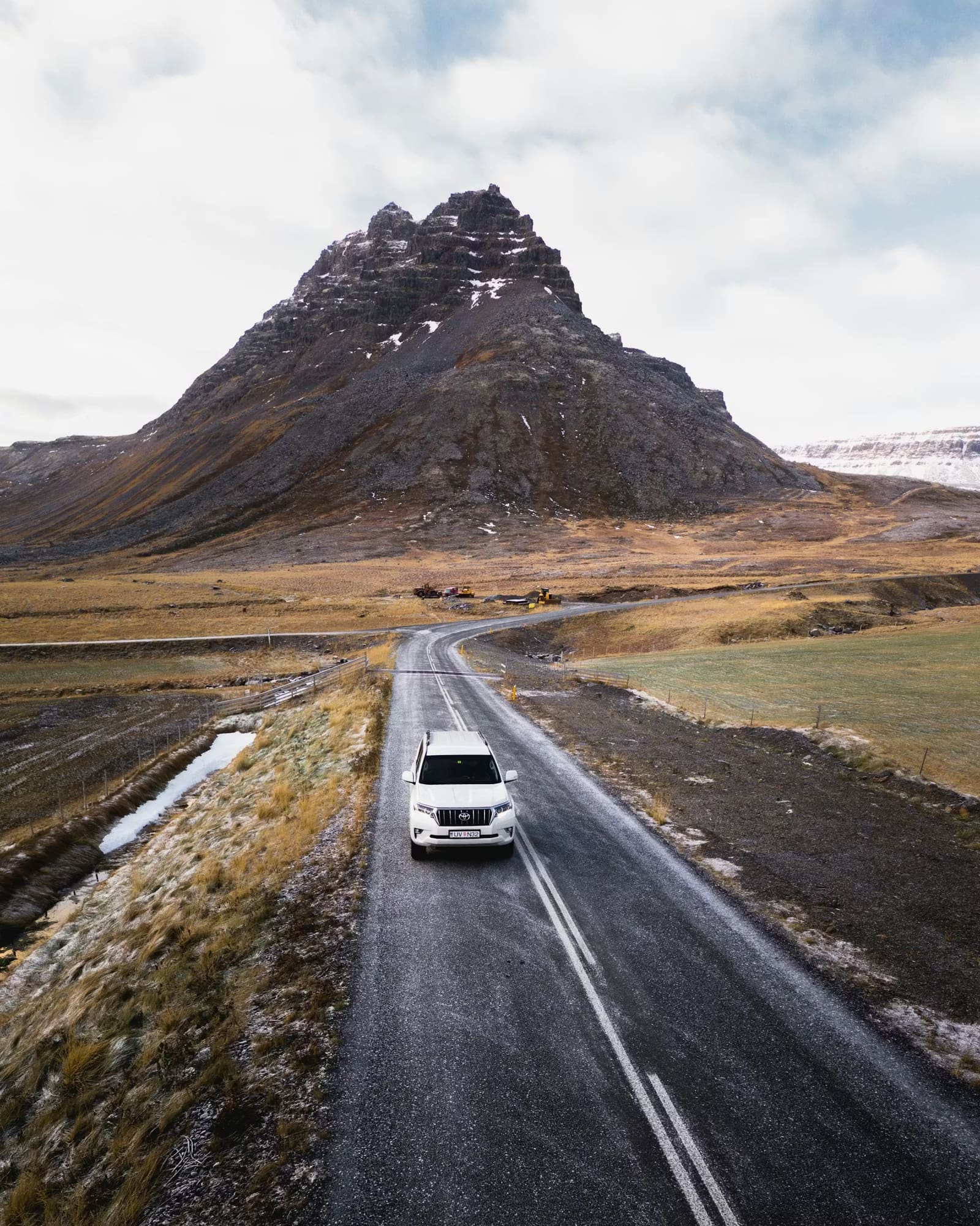
Route essentials
- Route length
- Route 1 is roughly 1,300 km before sightseeing detours
- Best starting point
- About 10 days for a balanced first loop
- Seven days
- Possible as a compressed warning case, not the relaxed default
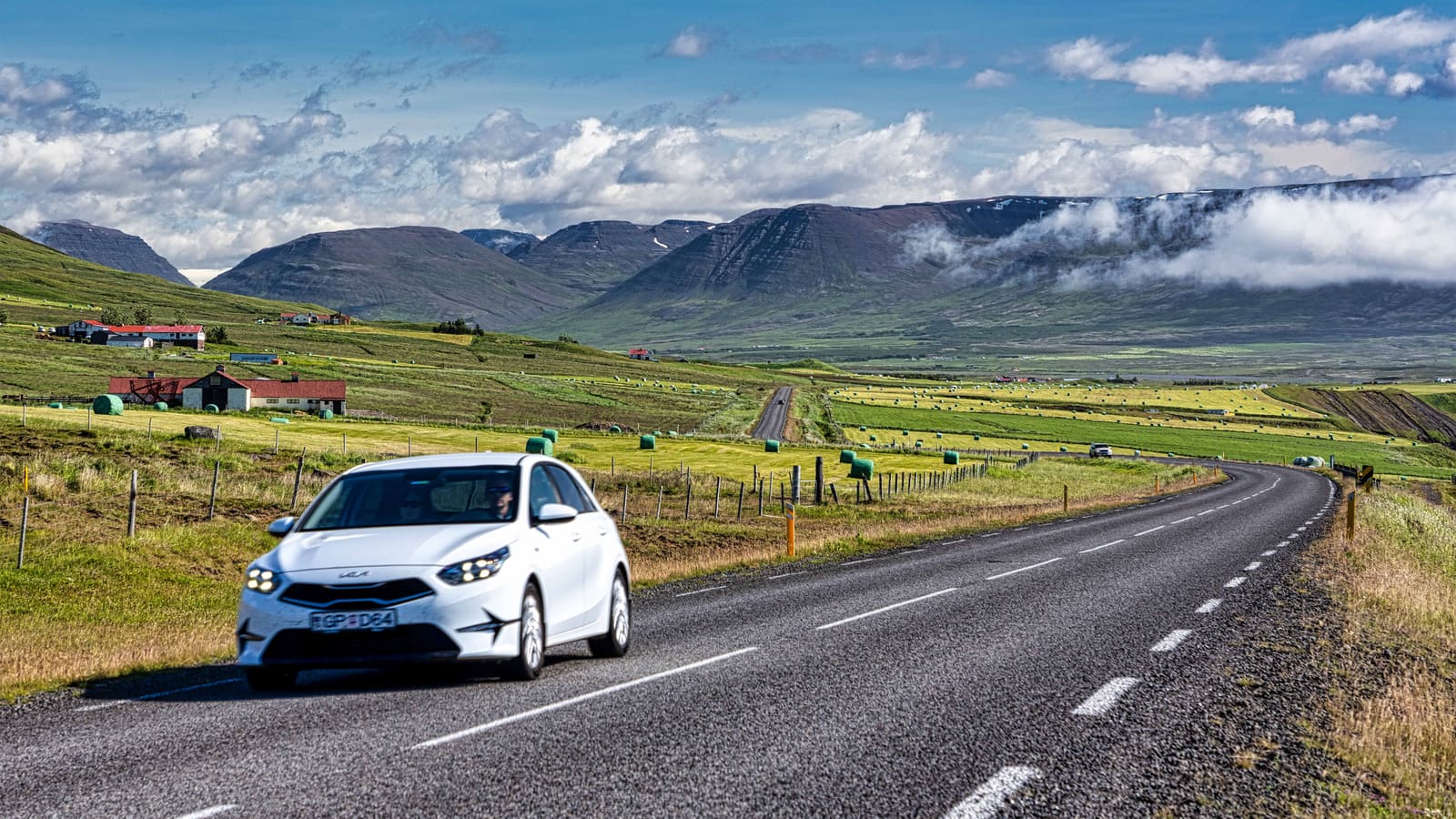
Road trip guide
Test a complete Iceland Ring Road loop against your days, season, driving tolerance, overnight bases, detours, and recovery margin before you book it.
Route essentials
Yes if you can give the loop about 10 days, accept regular hotel changes, and keep optional stops flexible. Seven days can complete the circuit in favorable conditions, but it is a compressed warning case; 14 days gives the route room to breathe.
Route 1 itself is roughly 1,300 km, before the roads into waterfalls, viewpoints, towns, thermal baths, trailheads, or peninsulas. The raw distance is not the main problem. The pressure comes from combining that distance with fixed overnights, normal stops, meals, weather checks, and the expectation that every region will feel like a destination.
Use this page to test the complete loop, not to copy a day-by-day itinerary. The structured route below shows the overnight spine and transfer pressure. If the chain still feels fragile after you remove optional visits, compare the Ring Road and South Coast before booking.
Good to know
Structured route plan
Use the ordered route before adding optional detours. Times are editorial estimates; current conditions decide whether the drive is sensible.
Start the loop after the arrival day when possible; airport arrival time is not usable sightseeing time.
The pin marks the visitor parking reached from Route 249. Walk to the falls and follow current path and ice restrictions. Treat the western waterfalls as one route cluster and protect the Vík overnight.
Skip when: the start is late; wind or road conditions are slowing the coastUse Vík or the surrounding corridor to stop the first eastbound day from reaching too far.
The pin marks the main lagoon parking north of Route 1. Fellsfjara has separate arrivals across the road; use signed paths and keep away from the surf. Give glacier-lagoon country its own time block before the eastbound transfer.
The pin is the Djúpivogur town base used to divide the Eastfjords transfer, not parking for every coastal stop. Continue on Route 1 via Fáskrúðsfjarðargöng and Fagridalur; Route 939 over Öxi is a different mountain-road choice. The winding coast is a route experience, but optional village and viewpoint pauses are the first visits to trim.
Skip when: the southeast departure is late; the next fixed night is already under pressureUse East Iceland's service base to resupply and reset before the long northern crossing.
The pin marks Reykjahlíð village, not a point in the lake or parking for every Mývatn sight. Add local drives to your chosen visits. Protect a real destination block here instead of treating the north as one drive between hotels.
Use the northern base to separate Mývatn sightseeing from the long westbound transfer.
Keep a western buffer before Reykjavík, Keflavík, or a flight-day handoff.
Finish the loop before the departure day; reaching the capital is not the same as being ready for the airport.
A warning-case full loop with repeated hotel changes, little recovery margin, and optional visits cut before the overnight chain moves.
Cut first: Seljalandsfoss corridor, Djúpivogur / Eastfjords base.
The practical starting point for a first full loop: each region has a job, but weather and slower travel still require deliberate cuts.
Cut first: Seljalandsfoss corridor.
More room for two-night bases, weather recovery, and one major detour without turning the national loop into a chain of transfers.
Cut first: Optional detours outside the base route.
Route 1 may be nominally open year-round, but storms, ice, visibility, closures, and winter service can interrupt the chain. Do not protect a hotel booking over an official warning. Check the official source.
Long daylight does not remove fatigue. Stop, share driving where possible, and avoid stacking major sightseeing after the longest transfers. Check the official source.
Route overview
Lines show the stop sequence, not the roads to drive. The ordered stops remain available without loading the map.
This overview combines visitor parking with town bases. Choose parking for your own stays and Mývatn visits, and keep the Eastfjords transfer on Route 1 via Fáskrúðsfjarðargöng and Fagridalur. Automatic directions can suggest the different Öxi mountain route, so check the full road sequence and current conditions before navigating.
This keeps the route guide fast while the complete stop sequence stays visible.
The same loop changes character at 7, 10, and 14 days. Decide which trip you are actually willing to take before choosing attractions.
| Available time | What the loop feels like | Planning rule |
|---|---|---|
| 7 full days | Compressed: frequent moves, several long transfers, little recovery margin | Protect the overnight chain; cut optional visits before adding detours |
| 10 full days | Balanced: each region has a purpose, but most nights still move forward | Keep one flexible half-day and avoid stacking two major detours |
| 14 full days | Slower: room for two-night bases, recovery, and one major extension | Choose depth in one or two regions rather than adding every peninsula |
Count full route days, not nights in Iceland. A late arrival, car pickup, grocery stop, or early flight can remove most of a day. The broader how many days in Iceland guide helps separate total trip length from the days genuinely available for this loop.
Think in base corridors rather than exact hotels. The accommodation can move within a corridor; the route job of that night should not.
| Base corridor | What it protects | Common mistake |
|---|---|---|
| Vík or nearby South Coast | A sensible first eastbound day | Pushing deep into the southeast after an arrival or waterfall-heavy start |
| Southeast glacier area | Time at Jökulsárlón before the eastbound transfer | Treating the lagoon as a roadside photo on the way to East Iceland |
| Eastfjords or Egilsstaðir | A reset before the remote northern crossing | Booking one distant eastern night and making the coast a deadline |
| Mývatn and/or Akureyri | A real North Iceland destination block | Combining Mývatn sightseeing with the longest westbound drive |
| Borgarnes or West Iceland | A buffer before Reykjavík or Keflavík | Driving from North Iceland into a flight-day handoff |
A 7-day loop compresses some of these jobs into single nights. A 10-day loop can give the south, southeast, east, Mývatn, Akureyri, and west distinct roles. With 14 days, add two-night bases where the group most wants depth instead of extending the route by default.
The hardest Ring Road days are rarely the shortest-looking lines on a map. Stops, road exposure, fatigue, and a fixed next hotel can make an ordinary distance feel expensive.
Direction is a tactical choice, not a universal rule. Counterclockwise is an easy first plan because the South Coast creates a clear opening progression, but the live forecast can be a better reason to reverse.
Go counterclockwise when you want the familiar South Coast first, have booked southeast activities early, or prefer to reach the highest-density stops while the group is fresh. Go clockwise when the north and east have the stronger forecast, when southern weather makes the opening days weak, or when fixed bookings make the northern side the true anchor.
Direction does not repair an overfilled loop. It only changes the order of the same dependencies. Check the forecast across multiple regions before the first fixed cancellation deadline, then keep the structured route as the base progression in either direction.
A detour fits only when it has its own time and base logic. Being near Route 1 does not make an extension free.
| Detour | When it fits | When to leave it out |
|---|---|---|
| Golden Circle | Before or after the loop with a dedicated day or nearby night | A 7-day circuit already using every day for forward movement |
| Diamond Circle | A 10 to 14-day plan with extra North Iceland time | Mývatn and Akureyri are already sharing one compressed transfer |
| Snæfellsnes | A 14-day loop or a deliberate West Iceland extension | The peninsula would replace the final recovery buffer |
| Westfjords | A longer trip with several dedicated nights | Any short Ring Road plan; it is a second route, not a quick detour |
| Highlands | A separate seasonal plan with legal vehicle access and live checks | A standard-car loop or any itinerary using it as a shortcut |
If the north has spare time, use the Diamond Circle road trip to test that extension. If the west has spare time, compare the Snæfellsnes Peninsula road trip. Do not add both merely because the loop is 14 days.
Cut by consequence. The first cuts should protect the current road, the next overnight, and the driver's alertness—not preserve the longest attraction list.
A cut is successful when the remaining route becomes calm again. If removing visits still leaves repeated high-pressure transfers, the full loop is the wrong route for the available days.
The Ring Road is paved and often described as open year-round, but that does not make every winter or shoulder-season day suitable for a fixed national loop.
For cold-season planning, read winter driving in Iceland and keep every day's road and weather checks explicit. A shorter reversible route is the better choice when fixed nights leave no safe way to pause.
A Ring Road booking is ready only when the route still works after ordinary delays and the expensive commitments match the season.
By ThorPublished Updated
Use official sources when the decision can change with road, weather, or safety conditions. Check them while planning and again on the travel day.
Official overview of Route 1 length, road types, and seasonal driving context.
Official national route and regional context.
Current road conditions, closures, and notices.
Official weather warnings for the regions on the route.
Iceland-specific driving risks, preparation, and live safety context.
Use this before accepting repeated long transfers or late driving.
Opened in June 2026, shortening the Ring Road by 12 km. Treat full-loop distance as roughly 1,300 km before detours.
Check current toll and rental-car instructions for the new southeast road section.
Mapped visitor parking; follow current signs and official access instructions.
Mapped visitor parking; follow current signs and official access instructions.
Visit Austurland gives the town coordinates and its position in the southern Eastfjords.
Named village location used as the Mývatn base; local attraction parking must be chosen separately.
The main-road alternative is 162 km; ignore the separately listed Highland alternatives.
The paved Route 1 alternative via the coastal fjords and Fagridalur is 152 km; the 85 km Öxi option is a different route.
Current toll instructions for the tunnel used by the Mývatn–Akureyri estimate.
Resolve these common planning questions before turning the full loop into fixed bookings.
Seven full days can be enough to complete the Ring Road in favorable conditions, but it is a compressed plan with frequent moves, limited recovery margin, and optional stops that must remain disposable. About 10 days is a more balanced first-loop starting point.
About 10 days works as a balanced starting point for a first full loop. Fourteen days gives more room for two-night bases, weather recovery, and one major detour without making every region a transfer.
Counterclockwise is an easy first plan because it starts with the South Coast progression, but the better direction can depend on the multi-region forecast and fixed bookings. Direction does not make an overfilled route feasible.
Route 1 is paved, and a standard car may suit snow-free main-road conditions. The actual choice depends on the season, forecast, tires, rental terms, planned side roads, and driver confidence. A Ring Road rental does not automatically allow F-road travel.
A winter loop is possible only as a conditions-led plan. Storms, ice, visibility, temporary closures, short daylight, and winter service can interrupt the overnight chain, so fixed non-changeable bookings make the route less resilient.
Add one major detour only when it has dedicated time and does not replace the final recovery buffer. The Diamond Circle can fit extra North Iceland time; Snæfellsnes usually fits a slower westbound plan; the Golden Circle needs its own day or nearby night.
Route stops
Compare the loop with a focused route, then open the regional and driving guides that control the most important Ring Road decisions.
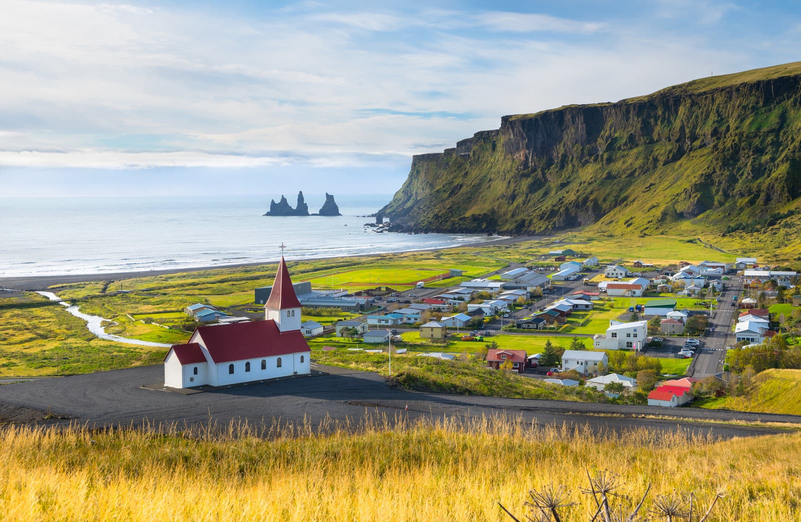
Vík helps South Coast travelers decide whether this small village should be a short pause, a weather-flex overnight base, or a more meaningful stop between black-sand coast highlights and longer eastbound driving.
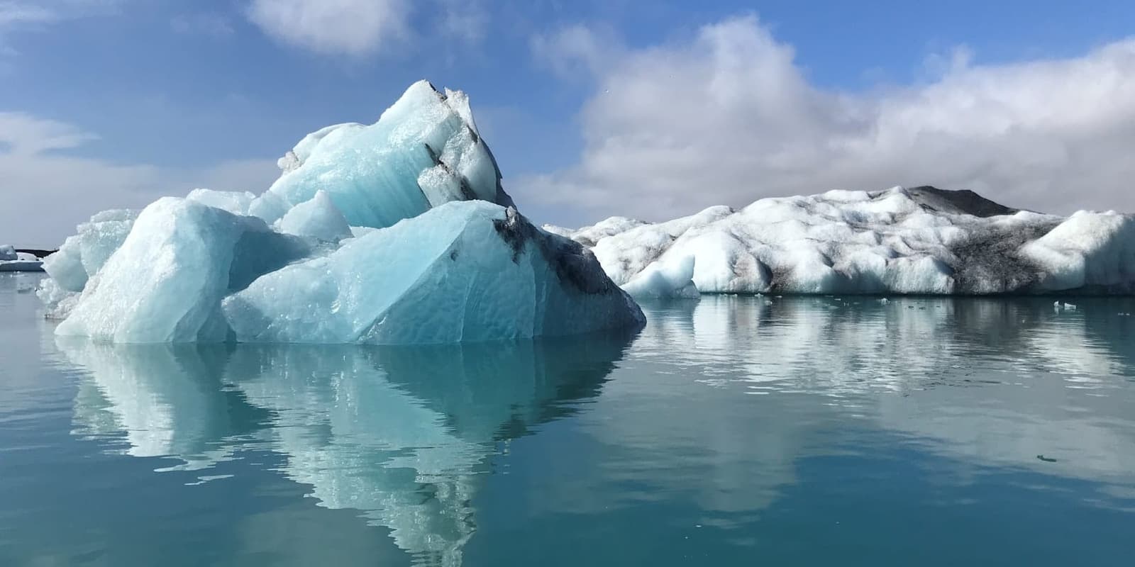
Jökulsárlón is a glacier lagoon where icebergs break from Breiðamerkurjökull and drift toward the Atlantic. The shore is easy to reach from Route 1, but the ice, weather and nearby ocean still need respect.

Follow the Eastfjords coast through harbour villages, steep mountain walls and changing fjord scenery, then choose a few named stops carefully and verify the exposed roads and weather for safer travel.
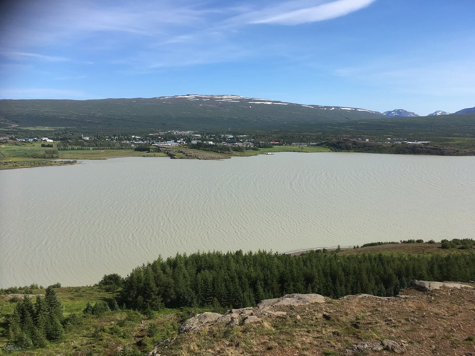
Egilsstaðir is East Iceland’s practical inland town beside Lagarfljót, useful as a Ring Road pause, flight gateway, or base for nearby fjords, forests, waterfalls, lake country, and highland-edge drives.
Route context
Open region and driving guidance that changes access, season, or the route decision.
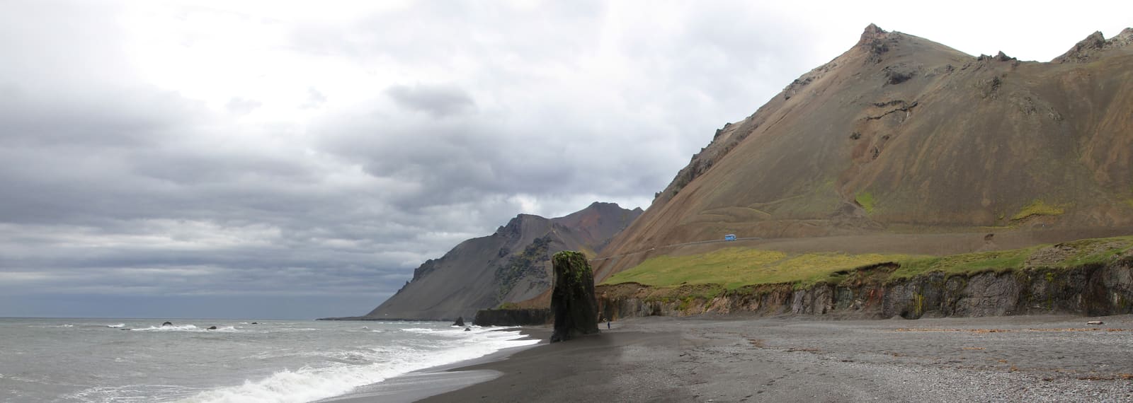
A Ring Road region for travelers who will trade headline density for fjord villages, hiking bases, and inland detours—and can protect at least two nights.

Choose North Iceland when you can spare several days for Akureyri, Mývatn, Húsavík, and canyon country; one rushed overnight barely reaches the region.
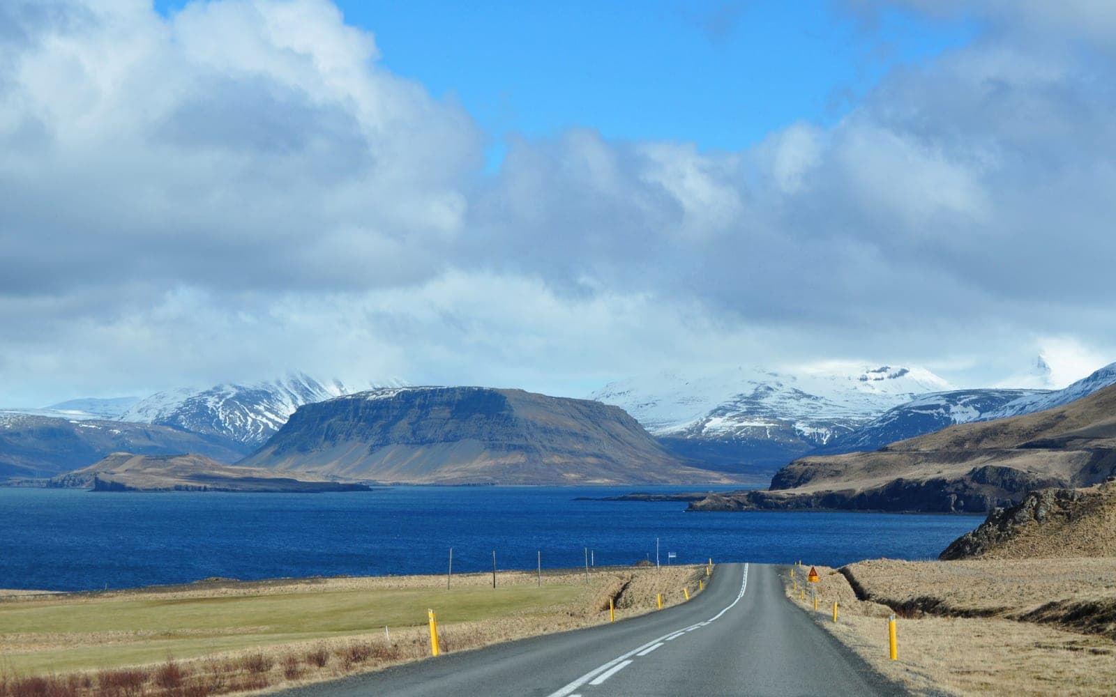
Choose West Iceland for a Borgarnes-based mix of waterfalls, geothermal stops, and caves; skip it if Snæfellsnes already fills your spare westbound day.
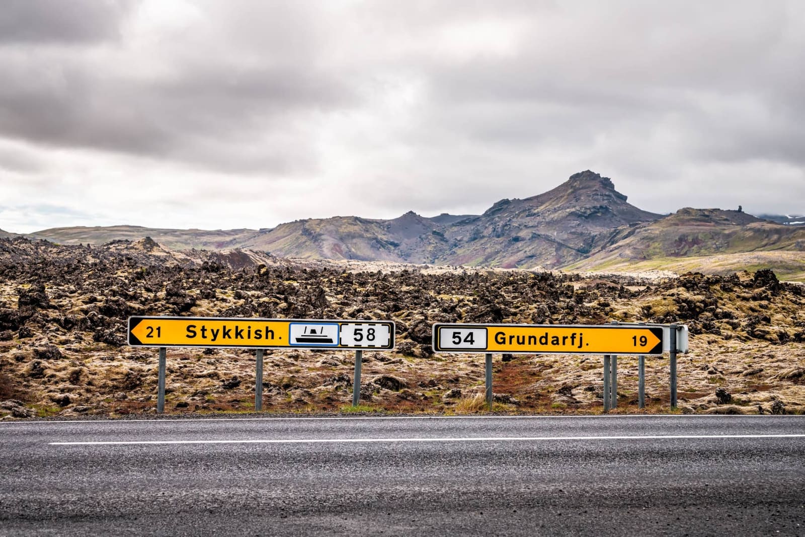
A route-first guide to deciding whether Snæfellsnes works as a day trip, one-night route, or slower west Iceland road trip.
Choose the next planning move
Use the route comparison if the loop still feels tight, or move into regional detail when the full Ring Road has passed the feasibility test.