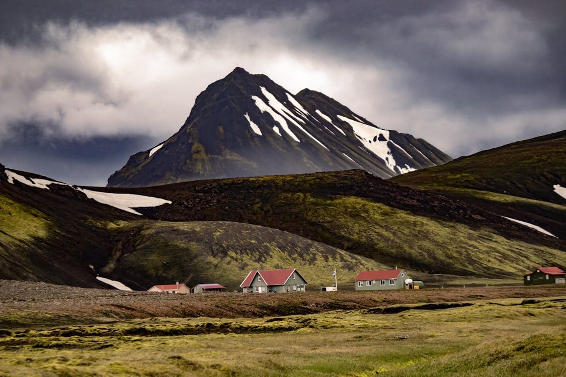
Access reality
- Type
- Short Þórsmörk viewpoint hike
- Region
- Highlands, reached from South Iceland
- Best for
- Hikers already inside Þórsmörk
- Access
- Requires Þórsmörk transport planning
- Effort
- Short climb, steep in places
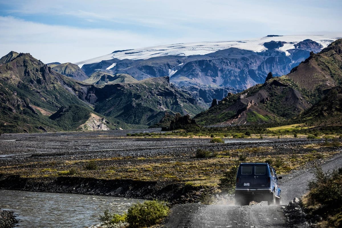
Valahnúkur is a short Þórsmörk viewpoint hike with outsized scenery, but it only makes sense after safely solving Highland access, river crossings, weather, and transport into the valley.
Access reality
Valahnúkur is a specialist outdoor stop in Þórsmörk: a short mountain viewpoint hike that makes sense only after the bigger Highland access question is solved.
The useful decision is not whether the summit view is attractive. It is whether your trip can realistically reach Þórsmörk, allow enough time for the walk, and still keep margin for road, river, trail, and weather changes.
Once you are in the valley, Valahnúkur is one of the most natural short hikes to consider. It links well with Húsadalur, Volcano Huts, Langidalur, and wider Þórsmörk trail plans, but it should not be treated like a normal roadside viewpoint.
Travelers usually encounter Valahnúkur through Þórsmörk hiking routes rather than as an isolated map pin. The practical bases are Húsadalur, Volcano Huts, and Langidalur.
Volcano Trails describes a Þórsmörk Panorama walk from the Volcano Huts to Valahnúkur and back, while FÍ lists Valahnúkur among popular walks in Þórsmörk. That makes the viewpoint useful for travelers who want a compact hike with a clear reward.
The climb can be short compared with the bigger trails around the valley, but short does not mean frictionless. Expect exposed mountain weather, possible slippery ground, steep sections, and the need to confirm current route details before setting out.
For most visitors, the biggest Valahnúkur planning issue is getting into Þórsmörk safely. The valley approach involves Highland logistics and river-crossing judgement.
FÍ notes that reaching Langidalur by car involves many river crossings and specifically calls out Krossá as a serious crossing. SafeTravel's highland-driving guidance reinforces the conservative rule: if a river crossing is uncertain, do not attempt it.
That is why many travelers should use Highland buses, guided super-jeeps, hut/operator guidance, or another current local arrangement instead of assuming a rental vehicle can reach the hike. Confirm details close to travel, because roads, rivers, weather, and services can change.
Valahnúkur works best as part of a Þórsmörk-focused day, not as one more stop in a packed list. Build the route around valley time first.
| Trip situation | How to use Valahnúkur | Planning note |
|---|---|---|
| Þórsmörk day trip | Use it as the main short viewpoint hike | Keep access and return transport as the anchor |
| Overnight in the valley | Add it when weather and energy line up | Pair with gentler valley walks or Langidalur time |
| Laugavegur or Fimmvörðuháls finish | Consider it only with extra margin | Do not force another climb into a tired schedule |
| Classic South Coast drive | Usually skip it | Choose easier stops such as Seljalandsfoss or Skógafoss |
If you already have a Þórsmörk plan, Stakkholtsgjá can be a logical nearby canyon target when transport and conditions allow. If you are comparing bigger hikes, Fimmvörðuháls is a different level of commitment and should be planned on its own terms.
By ThorPublished Updated
Use current sources before treating the hike, transport, or valley access as settled. Old trip reports can be useful background, but they are not live conditions.
Map
Use nearby places and useful bases before opening directions.
Interactive planning map for Valahnúkur
Interactive map
Place context and external map links remain available without loading it.
Wider route
Use broader place relationships for route comparison; they are not presented as immediate nearby stops.
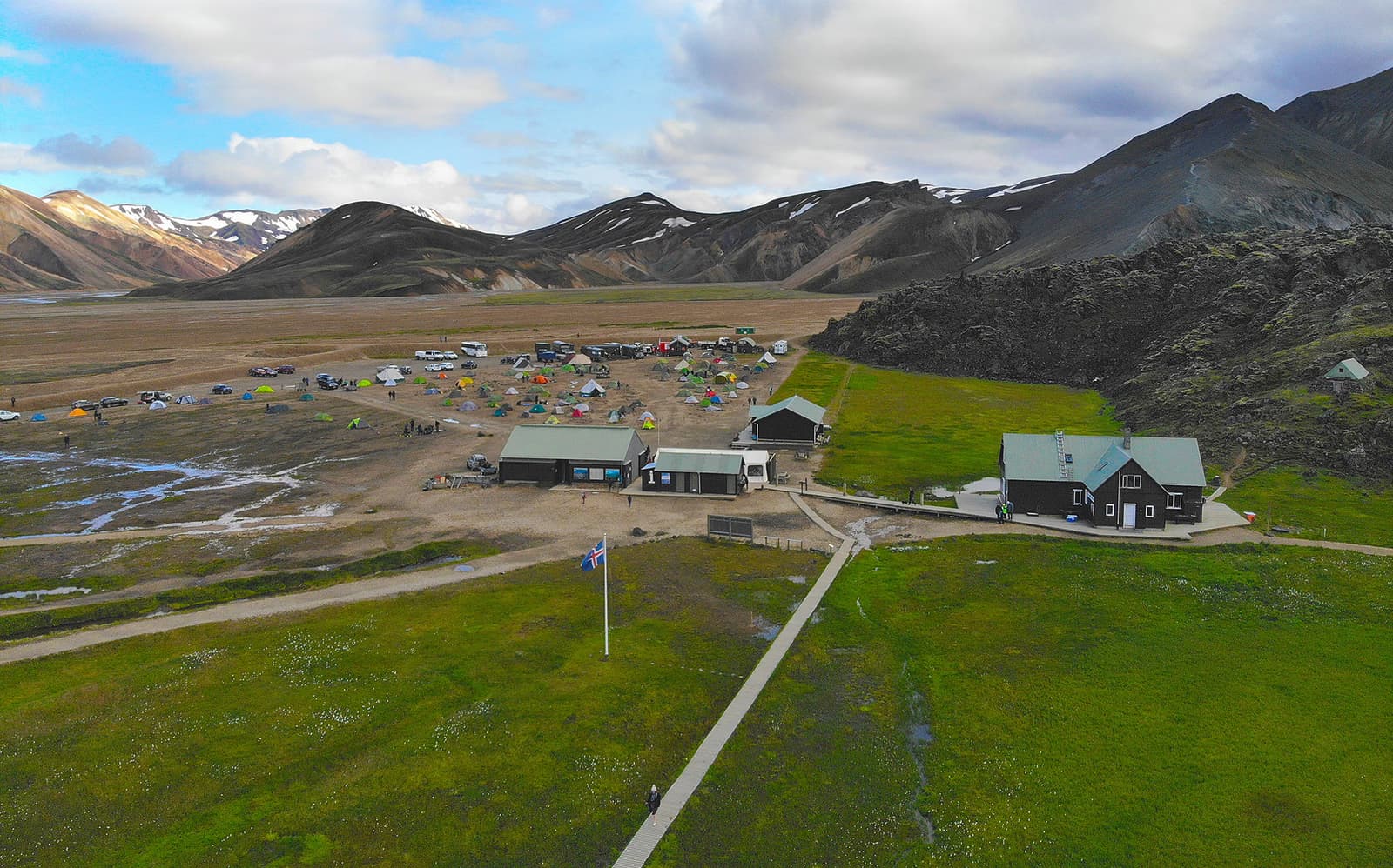
Landmannalaugar is a remote Highland valley where pale rhyolite mountains meet black lava, geothermal water and marked hiking trails. The landscape is the reason to visit; current road, parking and weather conditions decide whether the visit is practical.
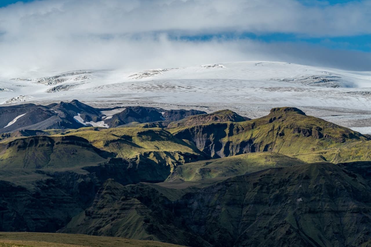
Mýrdalsjökull is a large South Coast glacier above Katla, best planned as a route-defining landscape where travelers must choose between distant views, guided glacier access, or a simpler nearby stop.
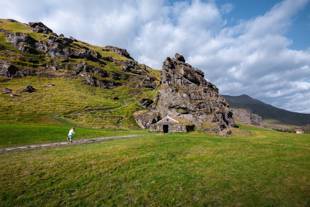
Eyjafjallajökull is the glacier-capped South Coast volcano made famous by the 2010 eruption; visit for route context and views, but treat glacier or summit access as serious guided terrain.
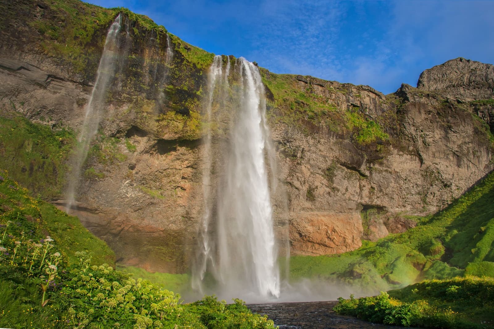
Seljalandsfoss drops about 60 metres from an old sea cliff on the South Coast. A path can lead behind its narrow curtain of water, but spray, slippery ground, winter ice, and path closures are central to the experience.
Next step
Use the next page that helps turn this stop into a practical route decision.