Quick guide
- Type
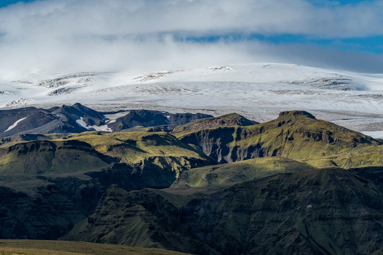
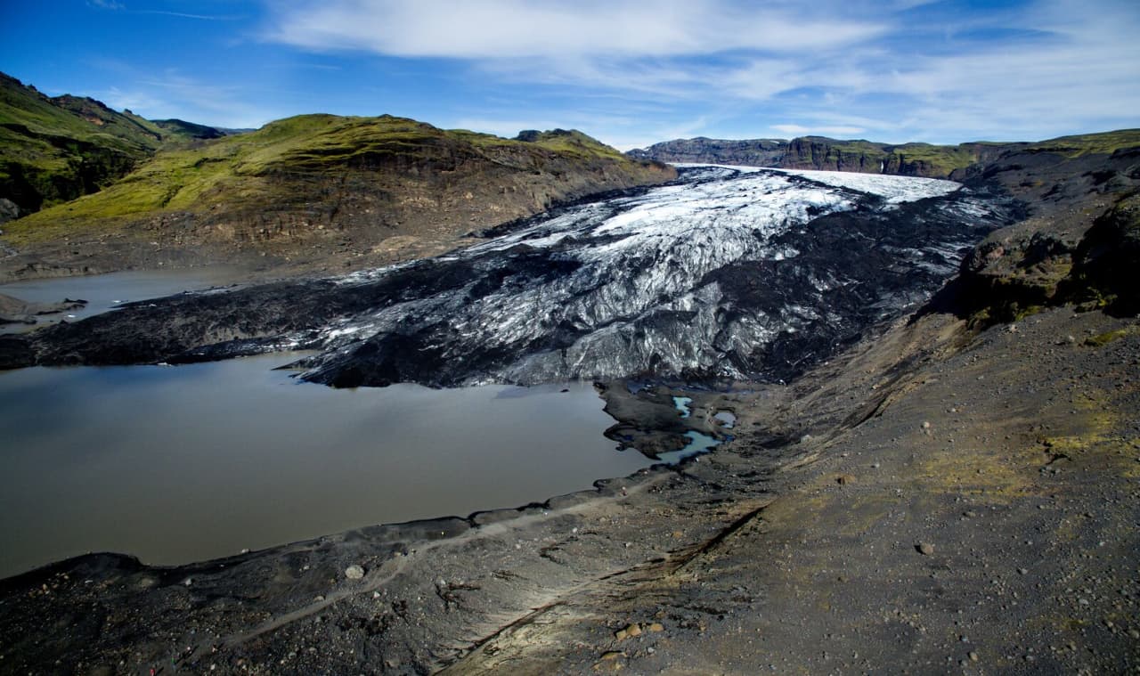
- Glacier, ice cap, outlet-glacier landscape, and Katla volcanic setting
- Region
- South Iceland, above the Vík and Skógar area
- Route context
- Works best as a South Coast route anchor, guided glacier plan, or landscape context for nearby stops
- Time to allow
- Distant viewpoints can be brief; guided glacier or ice-cave plans usually need several hours
- Best experience
- Seeing how glacier ice, volcanic ash, rivers, and black outwash plains shape the Vík area
- Access reality
- Close glacier terrain depends on weather, road conditions, on-site guidance, and qualified operators
- Season context
- Visibility, daylight, ice conditions, and road status can change whether the glacier strengthens the day
- Nearby pairings
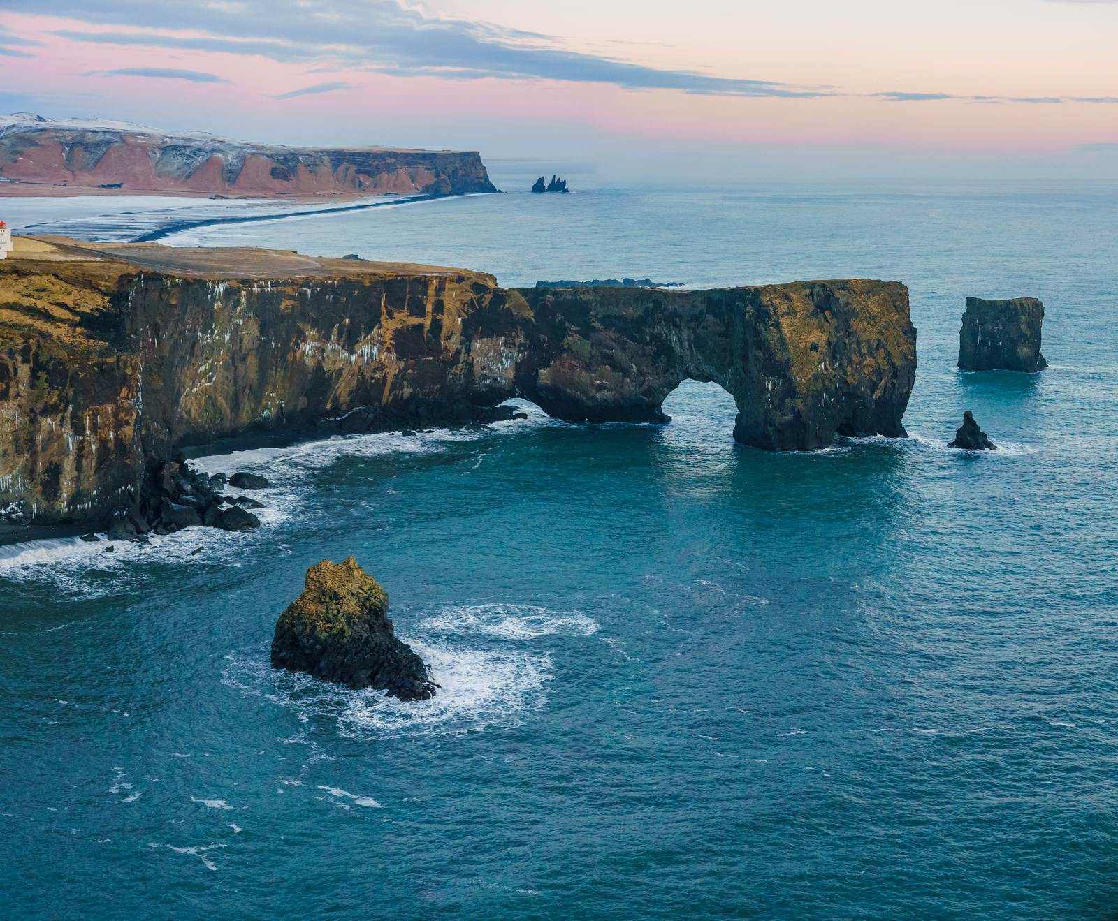
- Katla, Sólheimajökull, Reynisfjara, Dyrhólaey, Skógafoss, Seljalandsfoss, and Vík
- Main caution
- Use official road, weather, safety, and volcano information before relying on close access