Quick guide
- Type
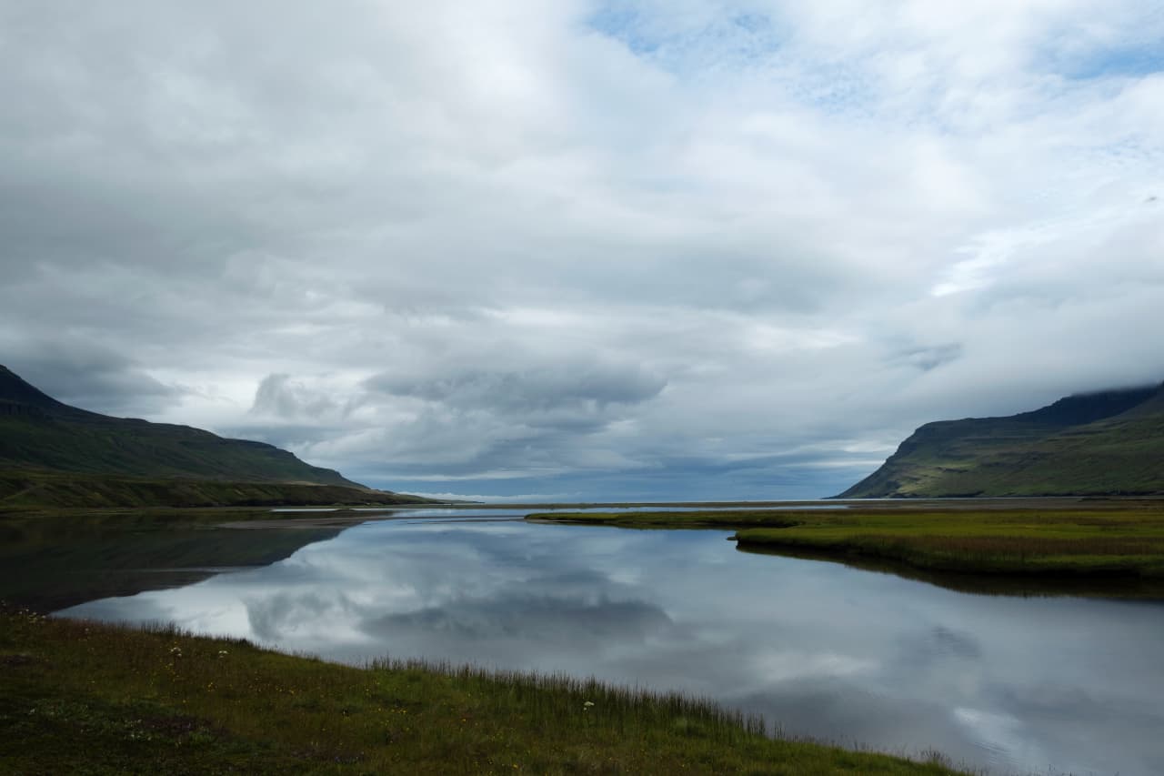
- Deserted fjord, remote Eastfjords landscape, hiking area, and F-road destination
- Region
- East Iceland, north of Seyðisfjörður and connected with the Borgarfjörður Eystri hiking area
- Route context
- Best as a deliberate Eastfjords detour or hiking-plan anchor, not a casual Ring Road add-on
- Time to allow
- A full slow outing works better than a quick photo stop, with extra margin for road, trail, and weather decisions
- Access reality
- F946 and hiking approaches need official road, weather, safety, and local visitor checks before you commit
- Main payoff
- Quiet fjord water, steep green slopes, old settlement traces, and the sense of reaching a rarely visited Eastfjords corner
- Nearby pairings
- Seyðisfjörður, Egilsstaðir, Hengifoss, Borgarfjörður Eystri hiking areas, and the wider East Iceland region
- Best planning style
- Flexible self-drive or hiking plans that can change if conditions make the fjord a poor choice