Access reality
- Type
- Highland route context
- Road
- F225, also called Dómadalsleið
- Region
- Southern Highlands near Fjallabak
- Best for
- Prepared Landmannalaugar route planning
- Nearby
- Dómadalur, Frostastaðavatn, Landmannalaugar
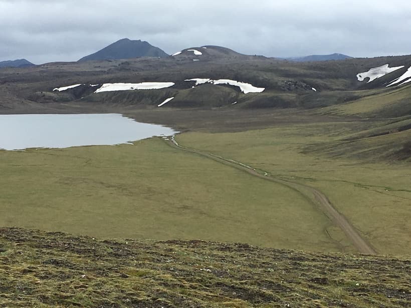
Landmannaleið (F225), also called Dómadalsleið, is the western Highland approach toward Landmannalaugar. The route passes through Dómadalur and joins Road 208 near Frostastaðavatn; conditions and vehicle suitability decide whether it fits your trip.
Access reality
Landmannaleið is the F225 road from Road 26 through Dómadalur to Road 208 near Frostastaðavatn, west of Landmannalaugar.
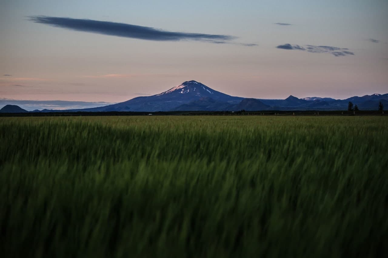
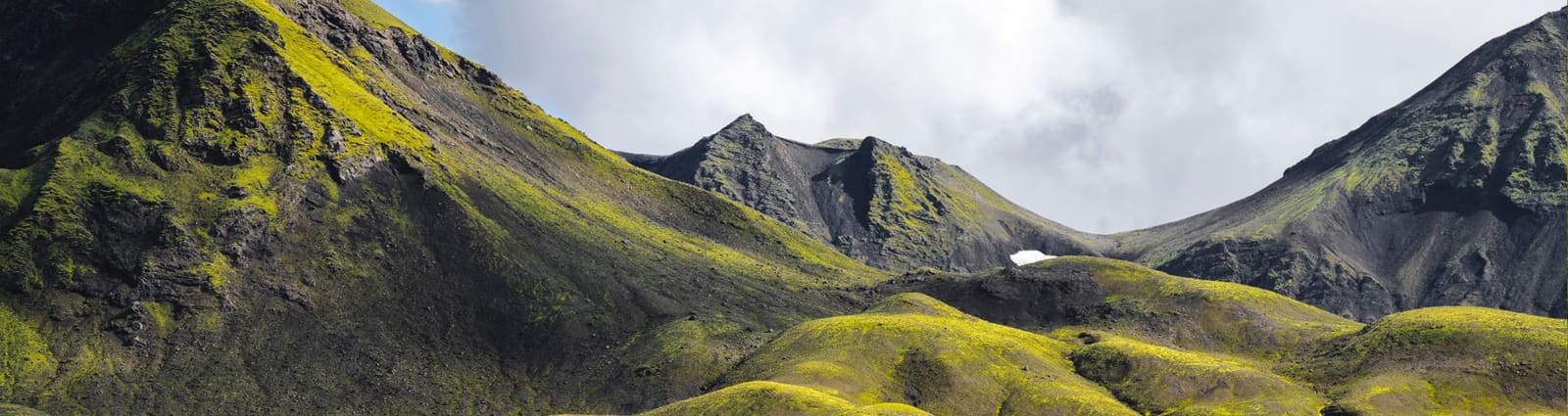
Travelers usually meet the name while comparing ways into Landmannalaugar. In practical planning, Landmannaleið points to the F225 / Dómadalsleið approach from the Road 26 side, passing the Dómadalur and Hekla-side highland landscape before connecting toward the Fjallabak route system near Frostastaðavatn.
The useful question is not whether Landmannaleið is a must-see. It is whether this F-road approach fits your vehicle, rental terms, confidence, weather window, and real reason for going into the Highlands. For most travelers, the route only makes sense when Dómadalur, Fjallabak, or Landmannalaugar are already the point of the day.
F225 can be rewarding, but only when the highland approach is part of the trip's purpose rather than a shortcut added late.
The route earns attention when you are deliberately choosing the western approach toward Landmannalaugar, want the Dómadalur and Hekla-side landscape, and have enough margin to drive slowly, pause selectively, or turn around. It is a weak choice when a paved South Coast day is already full.
Landmannalaugar is the usual anchor, but the approach matters. Official protected-area and operator sources point travelers toward current road information, suitable four-wheel-drive planning, and local visitor details before relying on the area. That is more useful than treating F225 as a fixed scenic drive.
| Trip situation | Route judgement | Check before committing |
|---|---|---|
| Landmannalaugar is the main goal | F225 may be one possible approach | Roads, weather, vehicle, parking, facilities |
| Dómadalur scenery matters | Landmannaleið has a clearer purpose | Road status, visibility, turnaround margin |
| South Coast sightseeing day | Usually keep the highlands out | Pace, daylight, next overnight |
| Poor visibility or strong wind | Use an easier backup | Forecasts, alerts, safety guidance |
The names around Landmannalaugar can blur together, so separate the route decision from the destination decision.
Landmannaleið/F225 is the western approach. Road 208 from the north and F208 from the south are different approaches to Landmannalaugar; the southern route has multiple river crossings. The final 2.5 km toward the hut area follow F224. Choose an approach using current road conditions, river information, your vehicle and rental permission.
At Landmannalaugar, P1 parking lets you stop before the final rivers and walk across the pedestrian bridge. This avoids those last crossings only: it does not make every approach to P1 free of rivers. If a crossing on your route is uncertain, turn back rather than using another vehicle as proof that yours can pass.
If your plan centers on the hut area, short hikes, the bathing brook, or the Laugavegur trail start, use the Landmannalaugar page first. If the wider landscape is the draw, compare Fjallabak, Frostastaðavatn, and Dómadalur before stacking extra stops.
A good Landmannaleið plan is condition-led: road status, weather, vehicle permission, and protected-area conduct decide more than the map line.
Plan F225 as a summer route with a flexible end date. SafeTravel says Highland roads are usually closed or impassable for ordinary vehicles from around mid-September until June or July; the road authority decides actual access. A standard rental 4x4 is not a winter-access solution. Stay on the marked roads, and confirm river-crossing restrictions and damage exclusions with your rental company.
If you continue to Landmannalaugar, check parking before setting off. The Nature Conservation Agency requires independent drivers arriving during the designated daytime window in the summer reservation period to reserve a space and pay the service fee before arrival. Check the current season dates and daily arrival window through the agency’s Fjallabak information.
If any of those checks weaken, the practical answer is simple: do not force the route. Choose an easier South Iceland or highland-edge plan, keep Landmannalaugar for a better window, or use bus or guided transport when that fits the trip better.
Use for current road status before entering the highlands.
Use for F-road, river, and remote-driving guidance.
Use for forecasts and warnings before exposed driving.
Current Nature Conservation Agency information in Icelandic, including access, parking reservations and protected-area conduct.
By ThorPublished Updated
Map
This pin gives approximate F225 route context, not an arrival point or a checked driving route. Choose your approach from current road conditions and follow signed roads; river crossings and seasonal closures can change access.
Interactive planning map for Landmannaleið
Interactive map
Place context and external map links remain available without loading it.
Planning context
Open the region or practical guide that resolves the next planning decision.
Wider route
Use broader place relationships for route comparison; they are not presented as immediate nearby stops.
Next step
Use the next page that helps turn this stop into a practical route decision.