
Access reality
- Type
- Highland route context
- Region
- Central Highlands, between major glaciers
- Road
- Road 35, often called Kjalvegur
- Best for
- Prepared summer self-drive planning
- Nearby
- Gullfoss, Hveravellir, Kerlingarfjöll
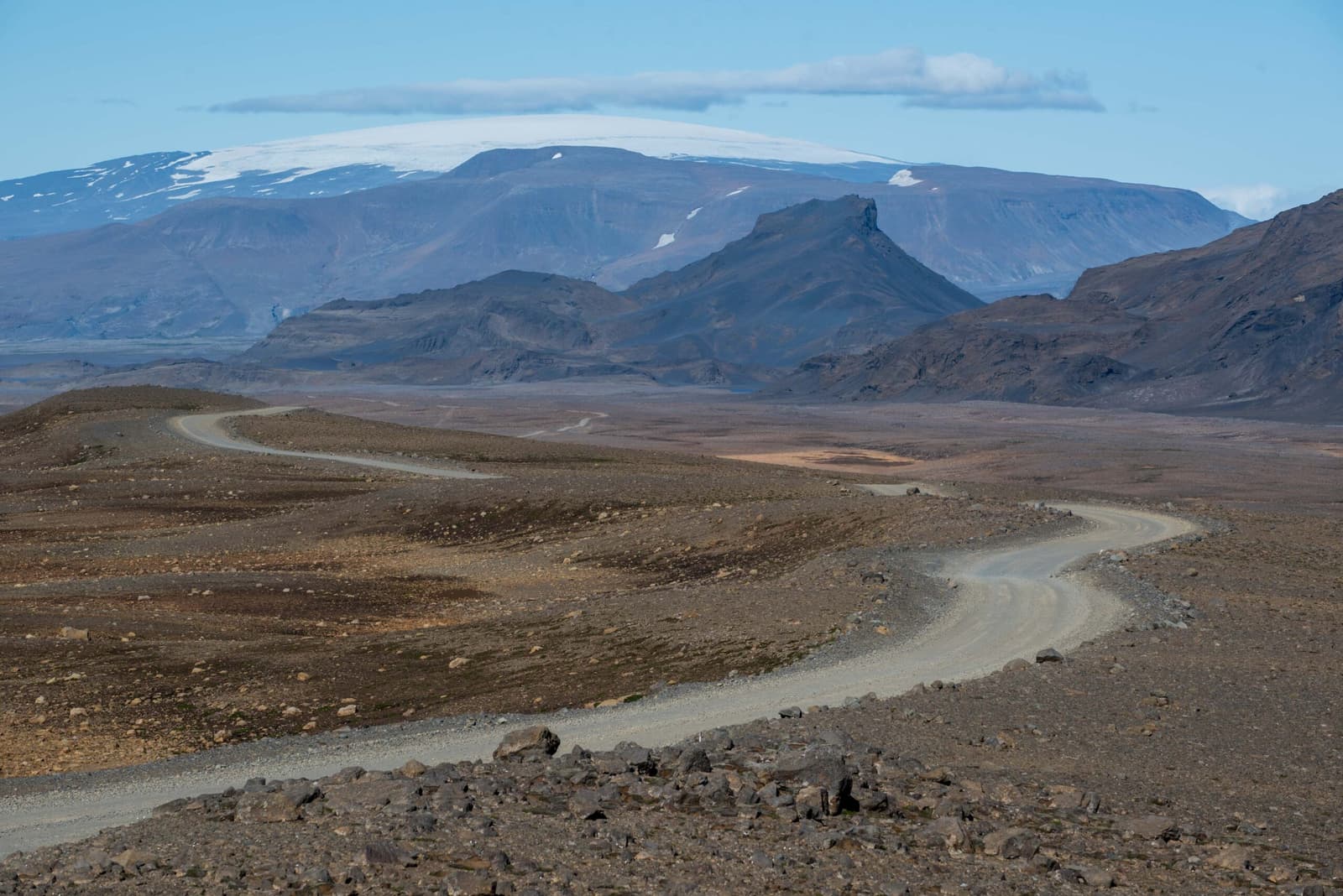
Kjölur / Kjalvegur helps prepared self-drivers understand the Road 35 highland crossing between the Gullfoss side and North Iceland, especially when deciding whether Hveravellir, Kerlingarfjöll, and current conditions justify the interior route.
Access reality
Kjölur / Kjalvegur is best understood as a highland route context page, not a conventional attraction page.
Kjölur is the central Highlands area between Langjökull and Hofsjökull, while Kjalvegur is the road name travelers most often meet when discussing the Road 35 crossing through that interior. Older guides and maps may still use F35 language, so the name can feel more confusing than the route itself.
The useful traveler question is not "should I stop at Kjölur?" It is whether the interior crossing adds enough value compared with staying on easier paved routes. The answer usually depends on current road information, weather, vehicle permission, and whether Hveravellir, Kerlingarfjöll, or Hvítárvatn are real goals.
The route can be rewarding, but only when the drive itself and the stops along it are part of the trip's purpose.
The strongest reason to choose Kjalvegur is a deliberate Highlands crossing that links the Gullfoss side with North Iceland while giving time to the interior. If your day is only a standard Golden Circle loop, Gullfoss is usually the practical northern edge of that plan.
Hveravellir gives the route a concrete midpoint: geothermal activity, huts, and a hot-pool context in the highlands. Visit North Iceland describes it as the hub of the Kjölur Route, which is a useful way to think about it. The route makes more sense when a stop like this is planned, checked, and given time.
| Trip situation | Route judgement | Check before committing |
|---|---|---|
| Hveravellir or Kerlingarfjöll is the goal | Road 35 may be central to the day | Roads, weather, services, vehicle rules |
| Golden Circle sightseeing only | Usually stop at Gullfoss instead | Daylight, pace, next overnight |
| North-south shortcut idea | Do not judge by map time alone | Surface, closures, fuel, fatigue |
| Poor visibility or strong wind | Keep a paved-route backup | Forecasts, alerts, turnaround margin |
Many travelers mention the names together, but the route crossing and the side-destination are separate planning choices.
Kerlingarfjöll is often the scenic prize people have in mind when they ask about Kjölur. It is not just the main road: it adds its own access, timing, walking, weather, and service questions. Treat it as a separate destination layered onto the Road 35 decision.
That distinction helps prevent overloading the day. A through-drive, a geothermal stop at Hveravellir, and a meaningful Kerlingarfjöll visit can each consume more time than a map view suggests. If the real goal is Hveradalir, use the Kerlingarfjöll guide before treating Road 35 as a simple connector.
Kjölur / Kjalvegur planning should end with live checks, not with an old route article.
Start with Umferðin for current road status and road notifications, then check the Icelandic Meteorological Office for forecasts and warnings. SafeTravel's highland-driving guidance is also relevant because highland roads can be rough, narrow, weather-sensitive, and unsuitable for some vehicles.
Also confirm rental-car terms directly. Some older descriptions call the route F35, some current maps emphasize Road 35, and side roads may carry different restrictions. The label on a map is less important than what your rental agreement, official road status, and today's conditions allow.
Use for current road status, road notifications, and travel-condition checks.
Use for highland-road preparation, rough-road cautions, and travel planning.
Use for forecasts and warnings before exposed interior driving.
Use for the route's main geothermal stop and nearby service context.
Most questions are really about route suitability. Let current official information decide the final call.
It is better treated as highland route context. The named stops along it, especially Hveravellir and Kerlingarfjöll, are usually the actual visitor targets.
Travelers still see both labels in older and newer sources. For planning, check the current official road information and your rental terms rather than relying on the label alone.
Only for suitable trips. It can connect south and north through the interior, but it is a weather- and road-dependent highland choice, not a simple paved-road substitute.
Some prepared first-time self-drivers may enjoy it, but most short first trips are better served by easier paved routes unless the Highlands are a clear priority.
By ThorPublished Updated
Map
Use nearby places and useful bases before opening directions.
Interactive planning map for Kjölur / Kjalvegur
Interactive map
Place context and external map links remain available without loading it.
Planning context
Open the region or practical guide that resolves the next planning decision.
