
Quick guide
- Type
- Exposed photo stop
- Region
- Sólheimasandur, South Iceland
- Access
- Walk or confirmed shuttle
- Driving
- No driving onto sand
- Best for
- Photography and aviation curiosity
- Check first
- Weather, daylight, shuttle, roads
The DC-3 Plane Wreck helps South Coast travelers decide whether the exposed Sólheimasandur walk or shuttle is worth the time for a famous but conditions-dependent photo stop today.
Quick guide
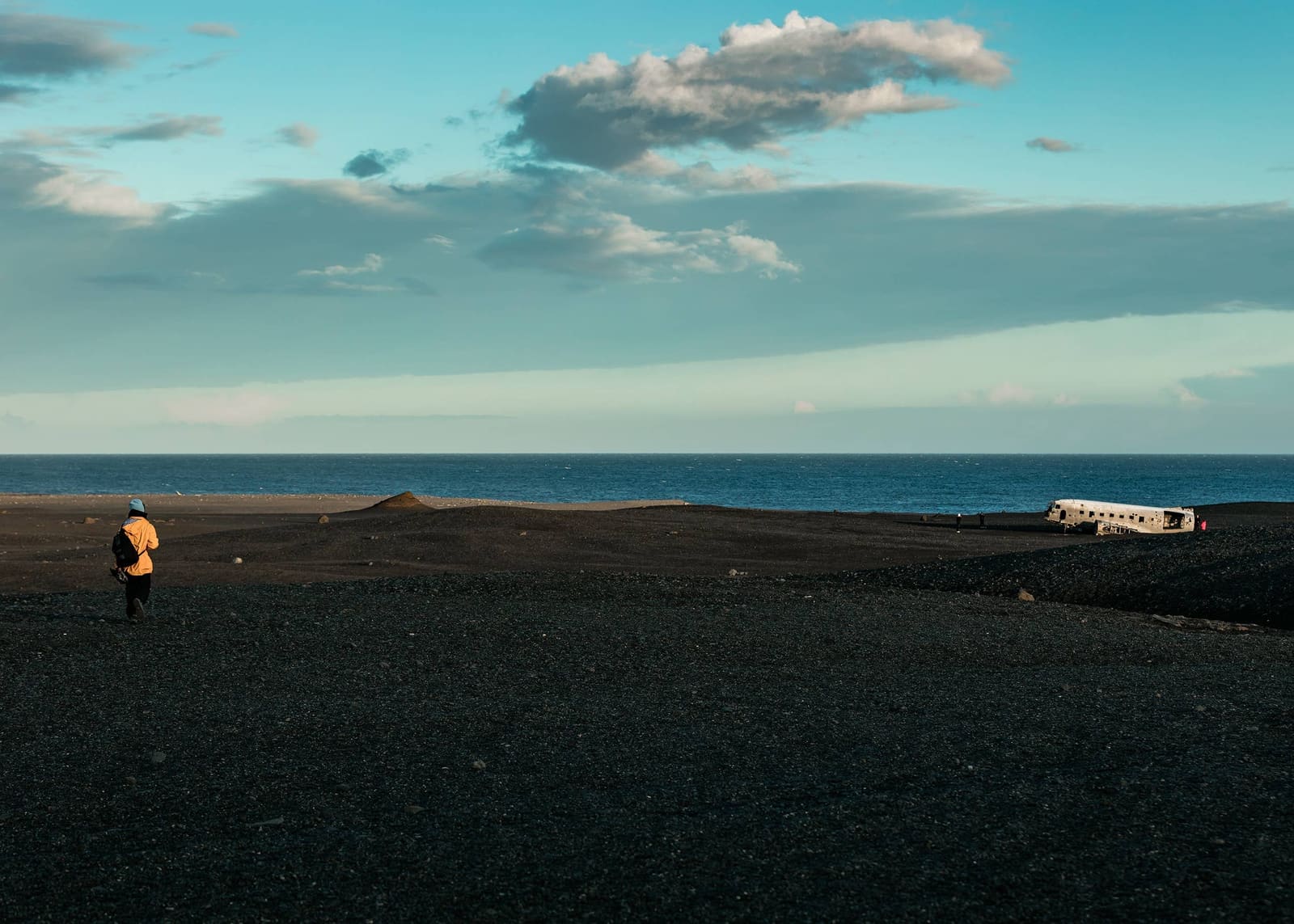
The DC-3 Plane Wreck is the stripped aircraft fuselage on Sólheimasandur, a broad black-sand plain on Iceland's South Coast.
For travelers, the honest question is not whether the wreck is recognizable. It is whether you want to spend South Coast time reaching one exposed photo subject when Skógafoss, Sólheimajökull, Reynisfjara, and Vík may compete for the same day.
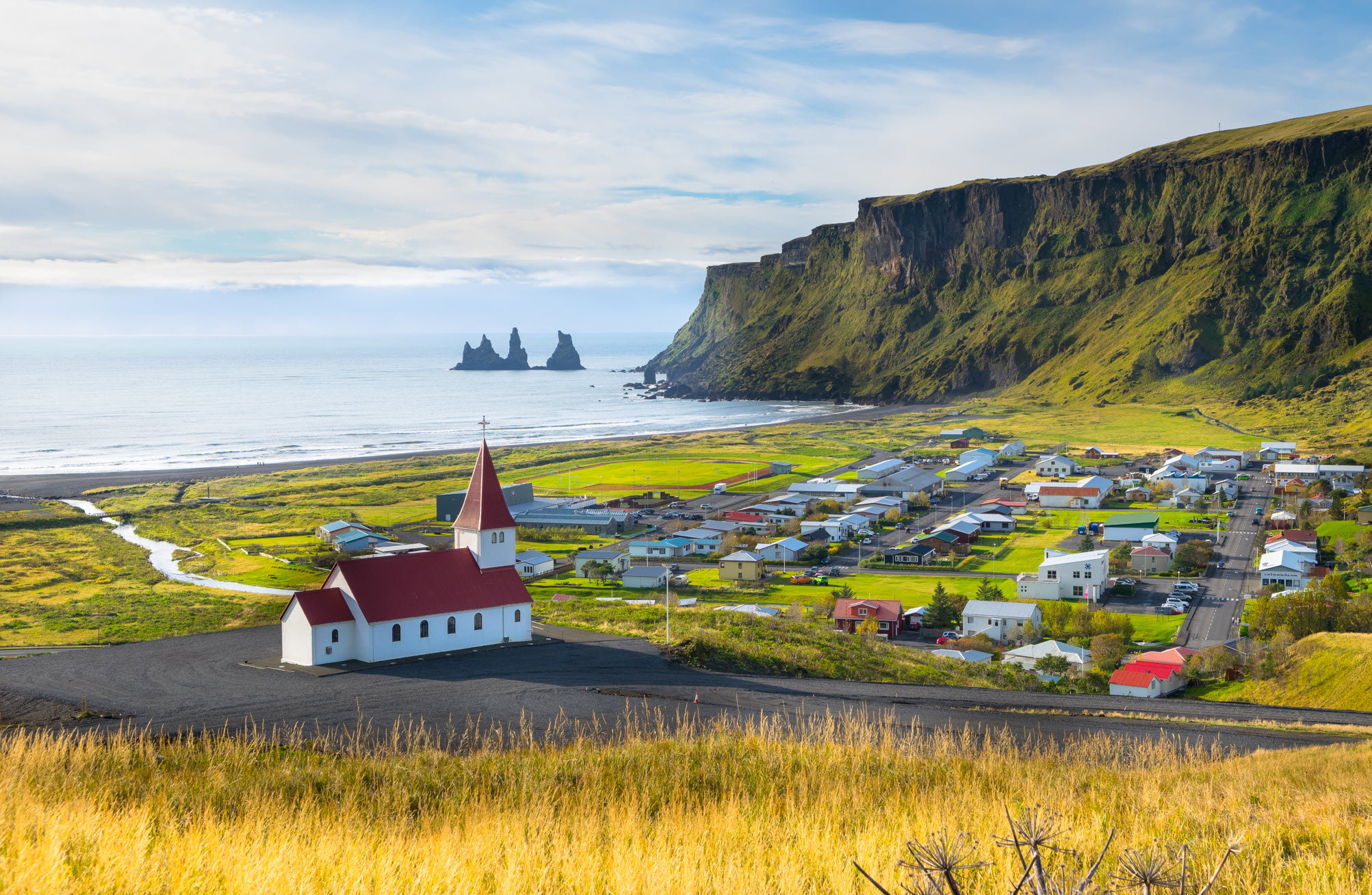
Visit South Iceland identifies Sólheimasandur as a sand desert formed by glacial outburst floods from the Katla volcano system under Mýrdalsjökull. That explains the setting: a flat, open, dark plain with little shelter and few natural landmarks near the wreck.
Worth the stop?
The wreck is not reached by driving a rental car across the sand; visitors normally start from the designated Route 1 parking area.
Official regional guidance says driving to the wreck is forbidden. The practical options are to walk from the Route 1 parking area, use a confirmed shuttle, or visit with a tour that has appropriate access. Do not improvise an off-road route across the sand.
The walk is physically straightforward for many people because the terrain is flat, but it is exposed. Wind, blowing sand, rain, snow, fog, and low winter light can make a simple-looking route feel much less forgiving. Build in enough daylight for the return, and turn back if conditions stop feeling clear.
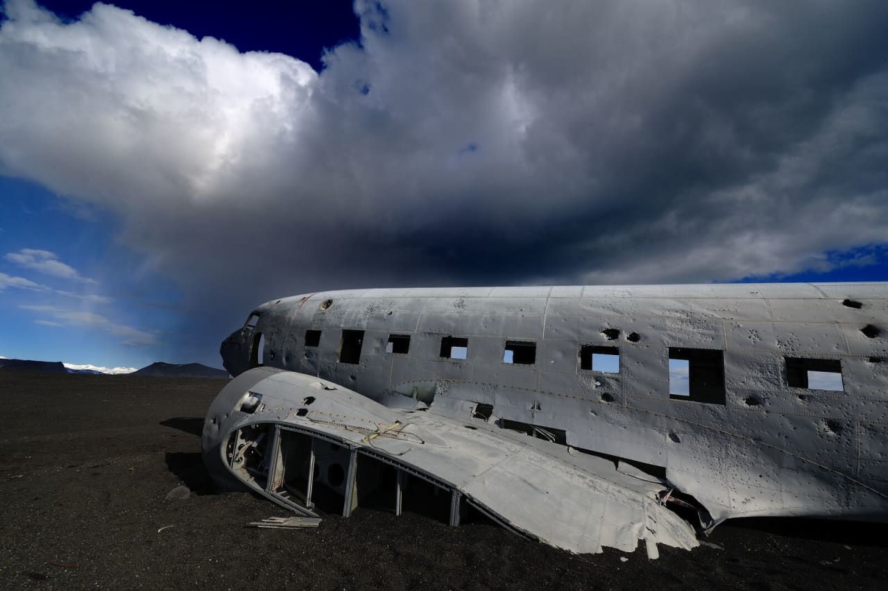
The wreck has become a pop-culture photo landmark, but its basic story is more restrained than the images suggest.
Visit South Iceland says a US Navy DC-3 ran out of fuel and landed on Sólheimasandur in 1973, with everyone surviving. Guide to Iceland identifies the aircraft more specifically as a DC-3 / C-117D transport aircraft. For most visitors, that story is enough context: it is a real emergency-landing remnant, not a purpose-built roadside installation.
The fuselage is weathered, open, and increasingly fragile-looking. Treat it as something to look at and photograph respectfully. Do not climb, damage, mark, or remove anything, and do not assume social-media photos show behavior that is allowed or sensible.
The DC-3 Plane Wreck sits in a dense part of the South Coast, so the opportunity cost is the main route-planning issue.
If you are driving between Reykjavík and Vík, the wreck usually competes with waterfall time, glacier time, beach safety stops, meal breaks, and winter daylight. It fits best when you already have a relaxed South Coast day or an overnight nearby.
| Your situation | Better choice |
|---|---|
| You want a distinctive photo subject and have weather buffer | Add the plane wreck |
| You only have one fast South Coast day | Prioritize Skógafoss, Reynisfjara, or Vík |
| Wind, fog, darkness, or road conditions are poor | Keep the wreck for another trip |
| You want black-sand landscape context without the wreck focus | Use Sólheimasandur or Mýrdalssandur instead |
For a more natural South Coast sequence, use Sólheimasandur for the wider sand-plain context, Mýrdalssandur for the broader outwash landscape, and Dyrhólaey or Dyrhólaey Lighthouse when you want coastal views rather than an inland walk across open sand.
Map
Use nearby places and useful bases before opening directions.
Interactive planning map for Solheimasandur DC3 Plane Wreck
Keep exploring
Use nearby places and planning pages to decide whether this stop strengthens the route or stays optional.

The strongest first-stop region for waterfalls, black sand beaches, glaciers, and iconic self-drive planning.
Sólheimasandur is an exposed black-sand outwash plain on Iceland's South Coast, known for the DC-3 plane wreck; visit only if the long walk, weather, and daylight strengthen rather than crowd your route.
Skógafoss is a major South Coast waterfall stop, worth planning with spray, stair-climb time, crowd timing, and nearby Kvernufoss or Skógar context, with enough flexibility for conditions and nearby route choices.
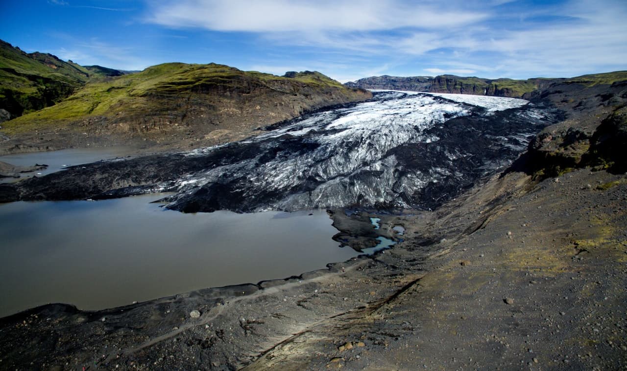
Sólheimajökull is an accessible South Coast glacier tongue where travelers can view Mýrdalsjökull ice up close, then decide whether a guided glacier walk is worth the time, cost, and safety checks.
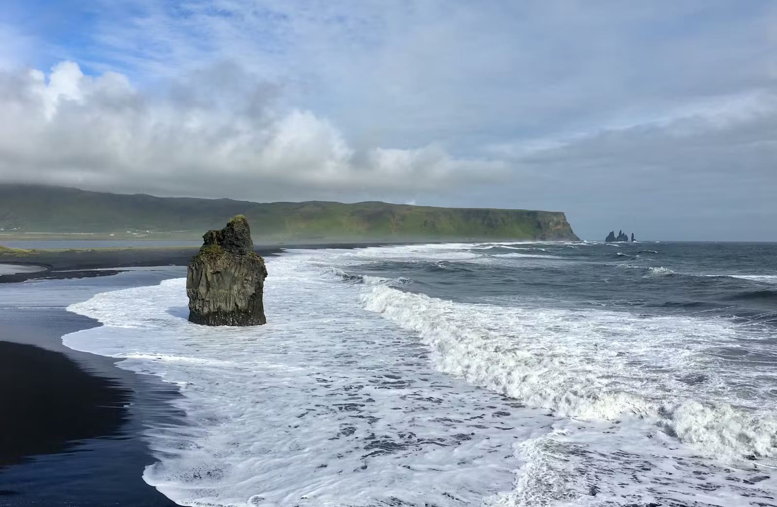
Reynisfjara is a dramatic South Coast black sand beach near Vík, best treated as a viewpoint-first stop where surf, erosion, warning lights, and local instructions control the visit.
Vík helps South Coast travelers decide whether this small village should be a short pause, a weather-flex overnight base, or a more meaningful stop between black-sand coast highlights and longer eastbound driving.