
Geology snapshot
- Type
- Reykjanes and South Iceland route
- Role
- Volcano-led planning framework
- Stages
- Eight volcano-centered route sections
- Best for
- Slow self-drive planning
- Access
- Mostly lowland roads, with detours
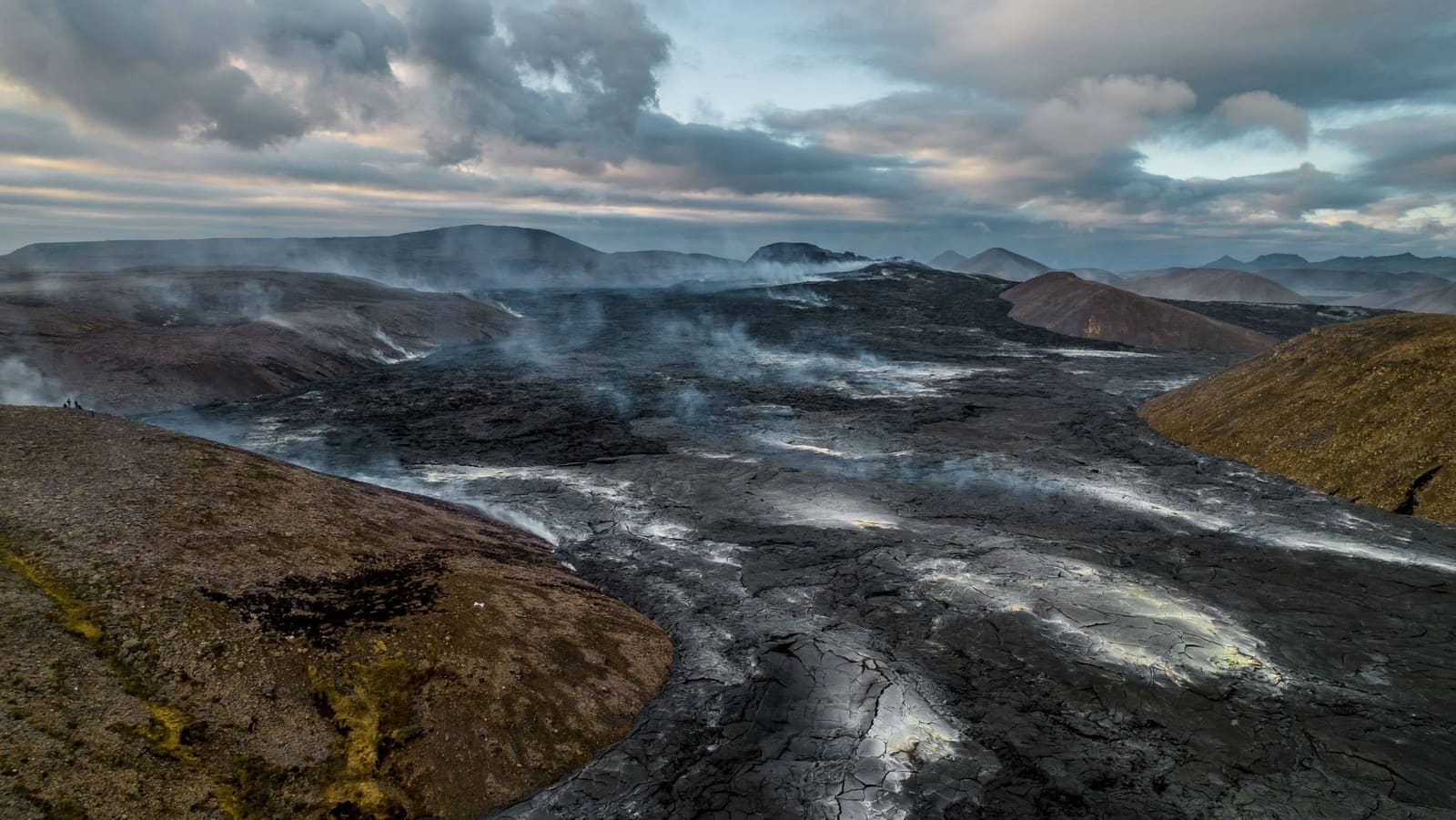
The Volcanic Way helps travelers use volcano stories as a planning thread across Reykjanes and South Iceland, especially when deciding whether to slow down beyond the usual South Coast highlight drive.
Geology snapshot
The Volcanic Way is a route corridor across Reykjanes and South Iceland, not one attraction with a single car park.
Use this page if the name appears while you are planning a South Coast, Reykjanes, volcano, or self-drive itinerary. The route links volcanic landscapes, towns, museums, food stops, outdoor activities, and detours into one planning thread.
The honest decision is simple: The Volcanic Way is useful when you have time to slow down. It is not a must-see stop, and it is not the best frame for a rushed day that only needs Seljalandsfoss, Skogafoss, Reynisfjara, and a return drive.
The route is organized around volcanoes, but the travel value comes from the landscapes and communities around them.
Visit South Iceland frames the route through eight volcano-centered stages: Fagradalsfjall, Hengill, Hekla, Eyjafjallajokull, Eldfell, Katla, Lakagigar, and Oraefajokull. That list helps travelers understand why Reykjanes, geothermal Hveragerdi, the Hekla area, the South Coast, the Westman Islands, black-sand landscapes, lava fields, and Vatnajokull-area scenery belong in the same story.
You do not need to treat each stage as a target. A practical trip might use Sundhnukagigar Craters for Reykjanes context, Hengill for geothermal context, Hekla for inland South Iceland, and Eyjafjallajokull for the glacier-volcano story.
| Trip situation | Best use of the route | Check first |
|---|---|---|
| Several South Iceland days | Choose stages and overnight bases | Roads, weather, services |
| One fast South Coast day | Use it as background context | Drive time and daylight |
| Westman Islands interest | Add the Eldfell stage selectively | Ferry and weather details |
| Reykjanes eruption curiosity | Check official access first | Restrictions, gases, alerts |
The route is most useful when it changes pacing, not when it adds another label to an already crowded map.
For many travelers, the strongest use is between Keflavik or Reykjavik, Reykjanes, the Golden Circle edge, the South Coast, the Westman Islands, and the Vatnajokull area. The route can help you justify slower overnight choices and smaller stops that would otherwise be skipped.
It pairs naturally with a South Coast road trip, but the route should not override common-sense timing. If ferry plans, winter roads, strong wind, beach warnings, or eruption-area restrictions make a stage awkward, choose a simpler nearby section and keep moving.
The route crosses ordinary travel planning and high-consequence Iceland conditions, so current checks matter more than old itinerary examples.
Before committing to a stage, check road conditions, weather warnings, beach warnings, ferry details, guided activity details, and any eruption-area or protected-area access guidance. Mostly paved roads do not remove winter, wind, wave, closure, or visibility risks.
Do not plan around guaranteed active lava, guaranteed northern lights, guaranteed puffins, guaranteed ice caves, or guaranteed glacier access. Those are conditions-dependent experiences, not fixed features of the route.
By ThorPublished Updated
Map
Use nearby places and useful bases before opening directions.
Interactive planning map for The Volcanic Way
Interactive map
Place context and external map links remain available without loading it.
Planning context
Open the region or practical guide that resolves the next planning decision.
