Geology snapshot
- Type
- Route corridor context
- Road
- Route 39, called Þrengslavegur
- Region
- Southwest South Iceland edge
- Best for
- Road checks and nearby stops
- Nearby
- Raufarhólshellir, Hellisheiði, Hveragerði
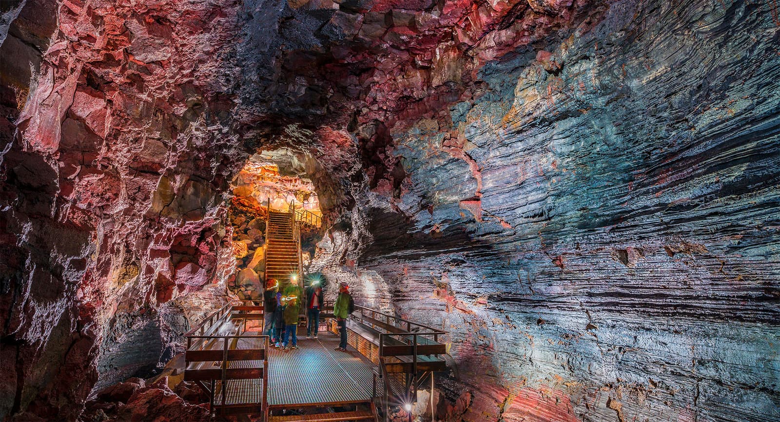
Þrengsli and Þrengslavegur help self-drivers decode Route 39 on the Reykjavík-to-South-Iceland edge, especially when road checks, Raufarhólshellir, Hellisheiði, Hveragerði, Þorlákshöfn routing, or winter conditions need a safer plan.
Geology snapshot
Þrengsli and Þrengslavegur are best treated as route-corridor context, not as a conventional attraction.
Travelers usually meet the names while checking Route 39 on the southwest edge of South Iceland. Þrengslavegur is the road name; Þrengsli is used for the nearby stream or pass area in public travel descriptions. The useful question is whether this corridor matters to your actual drive.
It can matter when you are going to Raufarhólshellir, comparing the exposed Hellisheiði and Hveragerði side of the route, or looking at connections toward Ölfus and Þorlákshöfn. It is not a must-see stop. Most visitors should only care about it when the road already appears in navigation, weather, or operator instructions.
The corridor is most useful as an access decision between nearby stops, not as another item on a sightseeing list.
Route 39 can make sense when it supports a clear plan: a lava-tunnel visit, a Reykjavík-area route toward the south-coast side, a Þorlákshöfn or Ölfus connection, or a weather-aware alternative around the Hellisheiði corridor. It becomes weak when added just because a map shows an extra scenic line.
SafeTravel's driving guidance is the right frame for this page: look up road and weather conditions, keep attention on the road, choose safe places to stop, and do not rely on map routing alone when conditions change. That advice matters more than any fixed description of the drive.
| Trip situation | Route judgement | Check before relying on it |
|---|---|---|
| Raufarhólshellir is booked | Route 39 has a clear purpose | Operator directions, roads, weather |
| South Coast day is already full | Do not add it as a detour | Daylight, pace, next overnight |
| Hellisheiði weather looks poor | Keep routing flexible | Road status, warnings, visibility |
| Northern lights idea | Treat as conditions-dependent | Cloud cover, darkness, safe parking |
Nearby places give the corridor meaning; without them, the name is mostly map context.
Hellisheiði is the more recognizable route and geothermal context near the Ring Road. Its exposed pass weather, steam, and power-plant visitor stop are often more useful to understand than Þrengslavegur itself.
Hveragerði gives the south side a practical town anchor for food, fuel, geothermal-town context, and onward planning. Arnarker is a more specialist nearby cave context, but public access and safety assumptions should be confirmed before treating it as a stop.
The corridor can feel open and dark, but that does not make it a reliable viewing or easy-driving location.
Some travel pages mention Þrengsli and Þrengslavegur in northern-lights context because the area has less built-up light than central Reykjavík. That is useful only as a planning clue. Northern lights still depend on darkness, cloud cover, solar activity, road safety, wind, parking options, and local conditions.
In winter or rough weather, check Umferðin for road status, the Icelandic Meteorological Office for forecasts and warnings, and SafeTravel for driving guidance before committing. If the route is only a convenience, it is easy to replace. If it is tied to a booked stop, build in margin for a different plan.
Check current road status and notices before relying on Route 39.
Use official driving guidance for weather, stopping, and map-reliability cautions.
Check forecasts, warnings, wind, visibility, and cloud cover.
By ThorPublished Updated
Map
Use nearby places and useful bases before opening directions.
Interactive planning map for Þrengsli and Þrengslavegur
Interactive map
Place context and external map links remain available without loading it.
Routes and itineraries
Compare road trips and itineraries that give this place a sensible position in the wider journey.
Planning context
Open the region or practical guide that resolves the next planning decision.
Next step
Use the next page that helps turn this stop into a practical route decision.