Access reality
- Type
- Remote volcanic crater and short hike
- Region
- Highlands, south of Fjallabak
- Best for
- Confident self-drivers and photographers
- Time
- Plan a dedicated highland detour
- Access
- Rough F-road planning matters
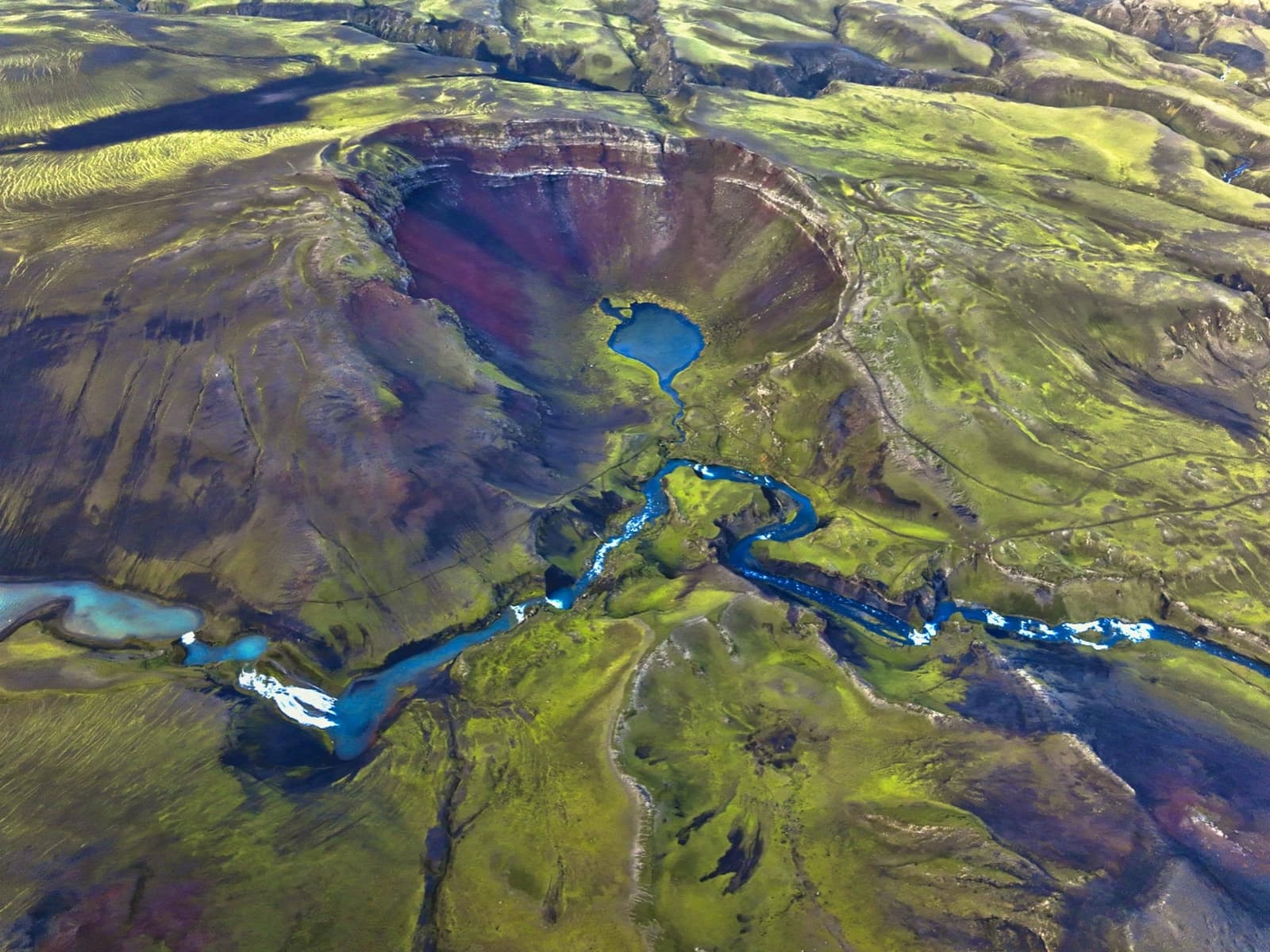
Rauðibotn Crater is a remote red-and-green highland crater near Hólmsá and Eldgjá, best for capable self-drivers deciding whether the color, solitude, and access effort fit a Fjallabak day.
Access reality
Rauðibotn is worth considering when the day is already shaped around the southern Highlands. The crater gives you color, silence, Hólmsá water, and nearby glacier views, but the access can outweigh the reward on a rushed route.
This is not a South Coast checkbox. Rauðibotn belongs with Fjallabak, Mælifell, Eldgjá, Torfajökull, and Strútslaug planning, where the drive and the backup plan matter as much as the sight itself.
The clean decision is to add Rauðibotn only when a remote volcanic-color stop is the point of the day. Cut it when you are trying to stretch an ordinary South Coast schedule into highland terrain.
The place is compact, but the setting is big. Rauðibotn combines a red crater bowl, green moss, a small lake, Hólmsá water, dark volcanic ground, and views toward Mælifell, Torfajökull, and Mýrdalsjökull country.
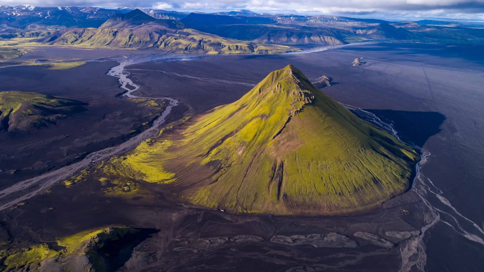
Mælifell gives the single mountain profile. Eldgjá gives canyon scale and Ófærufoss. Rauðibotn is different because the color is concentrated into one crater-and-river scene, so it rewards travelers who care about geology, photography, and highland texture more than famous-name collecting.
That secondary Eldgjá context matters. Rauðibotn is tied to a larger volcanic fissure story, and that makes the stop more meaningful if you are also considering Eldgjá, Ófærufoss, or Lakagígar.
Access is the main planning issue. Sources describe Rauðibotn as isolated highland terrain reached by F-road approaches, with route choice, river crossings in the wider area, vehicle suitability, and weather changing the decision.
Do not judge the detour by map distance alone. The practical question is whether your vehicle, rental terms, route choice, river-crossing tolerance, daylight, and forecast all support the same plan.
A cautious plan treats Rauðibotn as optional until the same day confirms the basics. The crater is not worth forcing if visibility drops, the group is tired, or the route would leave no room to turn around.
The walking part is not the whole day. Some route descriptions frame the crater walk as a short hike, but the total time also includes reaching the start, checking conditions, moving slowly on rough ground, and leaving daylight margin.
Plan the visit as a dedicated highland detour rather than a quick pullout. If everything lines up, the crater walk can be a compact reward after the drive. If access or weather is marginal, the same compact hike can become an oversized risk for the day.
Rauðibotn makes most sense when it belongs to a small cluster, not when it is alone at the edge of a packed trip. Mælifell, Eldgjá, Ófærufoss, Strútslaug, and Fjallabak each answer a different planning need.
| Nearby choice | What it adds | When to choose it instead |
|---|---|---|
| Mælifell | Black-sand scale and a clean mountain profile | You want the stronger landmark view |
| Eldgjá and Ófærufoss | Canyon walking, waterfall context, and volcanic fissure scale | You want a clearer main stop |
| Strútslaug | A bathing-focused highland objective | You want the day to revolve around a hot spring |
| Fjallabak | The wider protected highland landscape | You are comparing the whole route area |
If the day needs one dependable anchor, Eldgjá is usually easier to explain to a mixed group. If the group is choosing by color and remoteness, Rauðibotn can be the more memorable specialist stop.
The important checks are external and practical: official road notifications, weather forecasts and warnings, highland-driving safety guidance, rental permission, and any local guidance available near the route.
This is especially important because route descriptions can age quickly in the Highlands. A ford, track, closure, or weather shift can matter more than the attraction's distance from the nearest famous stop.
Use for F-road, river-crossing, and off-road driving guidance.
Use for road-condition and closure checks before the drive.
Use for forecast and warning checks before remote travel.
Use for official regional context on the nearby Eldgjá area.
By ThorPublished Updated
Map
Use nearby places and useful bases before opening directions.
Interactive planning map for Rauðibotn Crater
Interactive map
Place context and external map links remain available without loading it.
Planning context
Open the region or practical guide that resolves the next planning decision.
Wider route
Use broader place relationships for route comparison; they are not presented as immediate nearby stops.
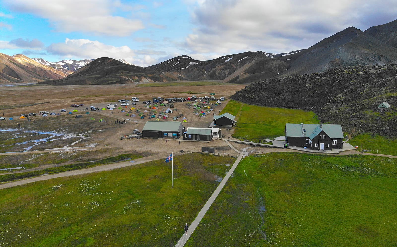
Landmannalaugar is a remote Highland valley where pale rhyolite mountains meet black lava, geothermal water and marked hiking trails. The landscape is the reason to visit; current road, parking and weather conditions decide whether the visit is practical.
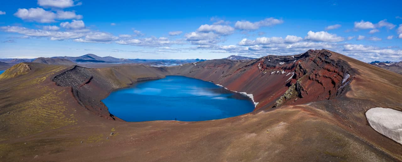
Ljótipollur is a red-walled crater lake near Landmannalaugar in the South Highlands, best for travelers deciding whether a short crater-rim detour is worth the F-road access, walking, weather, and route time.
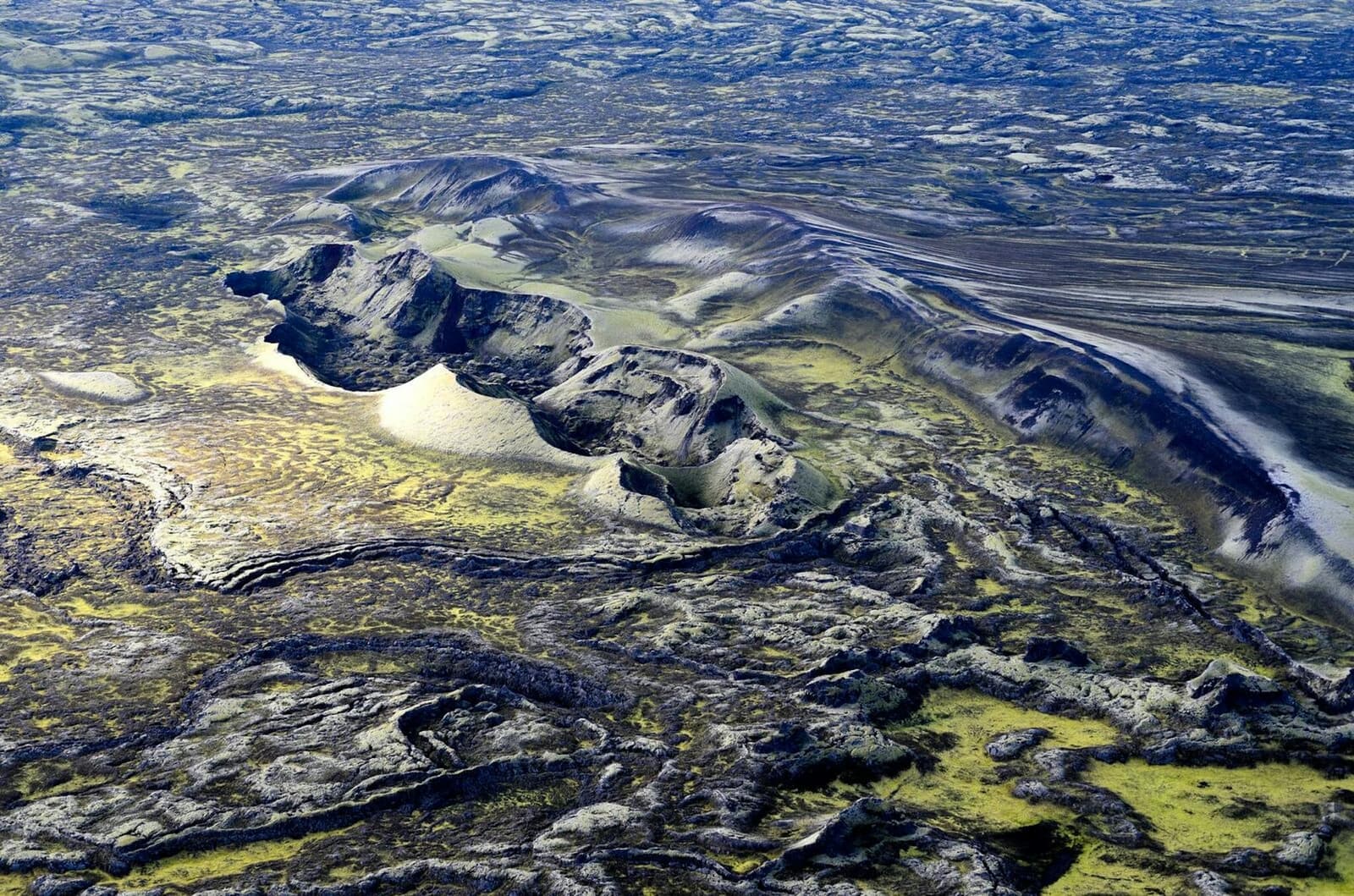
Lakagígar is a remote crater row in the south Highlands, worth planning only when highland-road access, weather, vehicle choice, and enough day space align, with enough flexibility for conditions and nearby route choices.
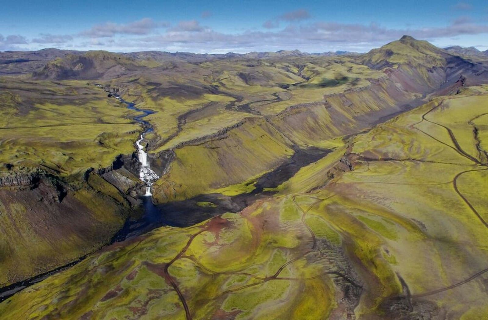
Eldgjá is a remote volcanic canyon in the south Highlands, worth planning only when highland roads, weather, vehicle choice, and time margins make the detour realistic, with enough flexibility for conditions and nearby route choices.
Next step
Use the next page that helps turn this stop into a practical route decision.