
Glacier facts
- Type
- Glaciated mountain peaks
- Region
- Southeast Iceland, near Skaftafell
- Best for
- Guided alpine effort and big views
- Time
- Full mountain day if climbing
- Access
- Guide-led glacier terrain
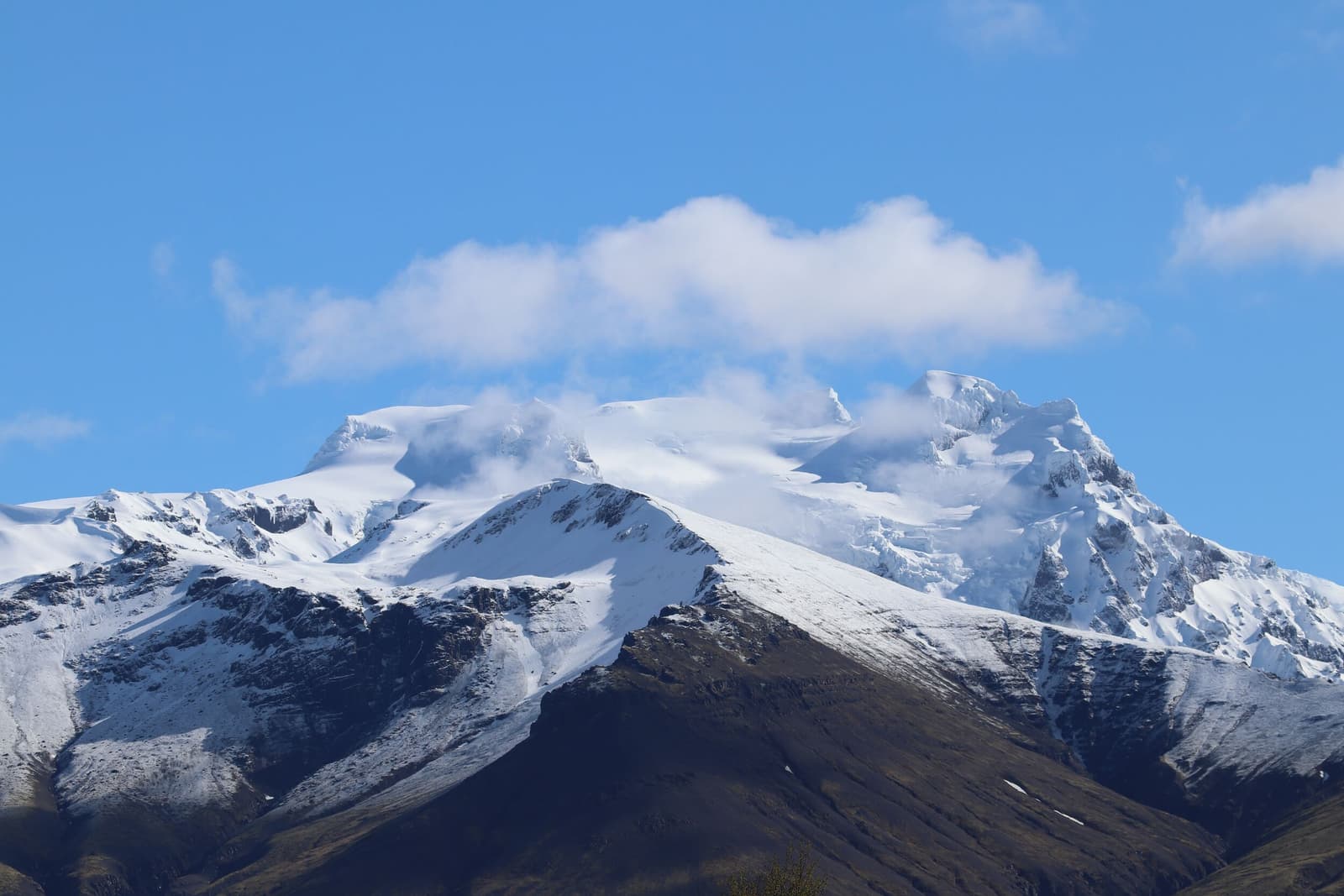
Hrútfjallstindar is a high, glaciated mountain group near Skaftafell for travelers deciding between a demanding guided climb, easier Vatnajökull National Park stops below, and a flexible South Coast route day.
Glacier facts
Yes, if the mountain is the point of the day. Hrútfjallstindar is worth planning around for fit travelers comparing guided alpine objectives near Skaftafell, but it is too demanding to treat like a normal attraction stop.
Hrútfjallstindar, also written Hrútsfjallstindar by some operators, is a group of glaciated peaks in the southern Vatnajökull landscape near Skaftafell. The appeal is scale: dark ridges, snowfields, glacier edges, and views toward the bigger Öræfi skyline.
For most South Coast travelers, the useful decision is not simply whether the mountain is beautiful. It is whether the trip has enough fitness, weather margin, and southeast Iceland time to make a guided mountain day more valuable than easier stops such as Skaftafellsjökull, Falljökull, or Svartifoss.
| Plan | Best fit | Main check |
|---|---|---|
| Guided climb | Strong hikers who want a full alpine day. | Weather, guide advice, glacier conditions, and stamina. |
| Mountain context | Skaftafell visitors who want to understand the skyline. | Visibility and whether easier glacier stops fit better. |
| Leave optional | First-trip days already full of lagoons and waterfalls. | Whether the route needs flexibility more than another objective. |
The visit is rugged, slow, and weather-exposed. The route is shaped by ridges, snow, glacier edges, and big views rather than the simple pull-in rhythm many travelers expect from South Coast sightseeing.
Operator descriptions place the route around Hafrafell, Skaftafellsjökull, and glacier terrain before the higher peaks. That gives the mountain a different rhythm from a signed national-park walk: the scenery is grand, but the day is built around movement, judgement, and keeping the group together.
If you only want a visual taste of this landscape, the lower Skaftafell area does the job with much less commitment. If you want the high-ridge version, expect the mountain to set the day’s pace.
Hrútfjallstindar is not the highest-name bragging-rights choice. Its draw is a varied, scenic mountain route beside the same Vatnajökull and Öræfajökull landscape that makes Hvannadalshnúkur so famous.
Choose Hvannadalshnúkur if Iceland’s highest summit is the core reason for the guided day. Choose Hrútfjallstindar if the appeal is a demanding ridge-and-glacier route with panoramic views and fewer travelers building their whole trip around the name.
Neither choice belongs in a rushed itinerary. If your southeast day already includes Jökulsárlón, Diamond Beach, and several glacier stops, keep the mountain as context rather than trying to force a summit plan.
The mountain belongs in the Skaftafell decision cluster, not as a standalone roadside sight. Use it to decide whether your day should be alpine, trail-based, glacier-focused, or mostly scenic.
Skaftafell gives travelers the practical base: visitor information, marked walks, nearby outlet glaciers, and a clearer way to adjust plans when weather or energy changes. Hrútfjallstindar adds the more serious mountain option above that same landscape.
The durable advice is simple: let official conditions and qualified local guidance decide the final plan. The mountain can be rewarding, but it is exposed enough that a rigid itinerary is the wrong tool.
Before relying on the climb, check official weather warnings, road conditions, national-park visitor information, safety guidance, and the chosen operator’s instructions. Avoid turning old reports, cached tour text, or clear-weather photos into promises about your actual day.
Use for Skaftafell-area visitor information, trails, and park context.
Use for travel-condition and outdoor safety checks before exposed plans.
Use for wind, visibility, precipitation, and regional warnings.
Use before committing to a long southeast driving day.
These questions matter because many travelers first notice the mountain while researching Skaftafell, then need to decide whether it is a climb, a backdrop, or a skip.
Casual travelers can use the mountain as Skaftafell-area context, but the climb itself is for fit, well-prepared hikers using qualified local guidance.
No for most first trips. Skaftafell is the better general stop; Hrútfjallstindar is a narrower mountain objective for travelers who want a demanding alpine day.
By ThorPublished Updated
Map
Use nearby places and useful bases before opening directions.
Interactive planning map for Hrútfjallstindar
Interactive map
Place context and external map links remain available without loading it.
Planning context
Open the region or practical guide that resolves the next planning decision.
Wider route
Use broader place relationships for route comparison; they are not presented as immediate nearby stops.
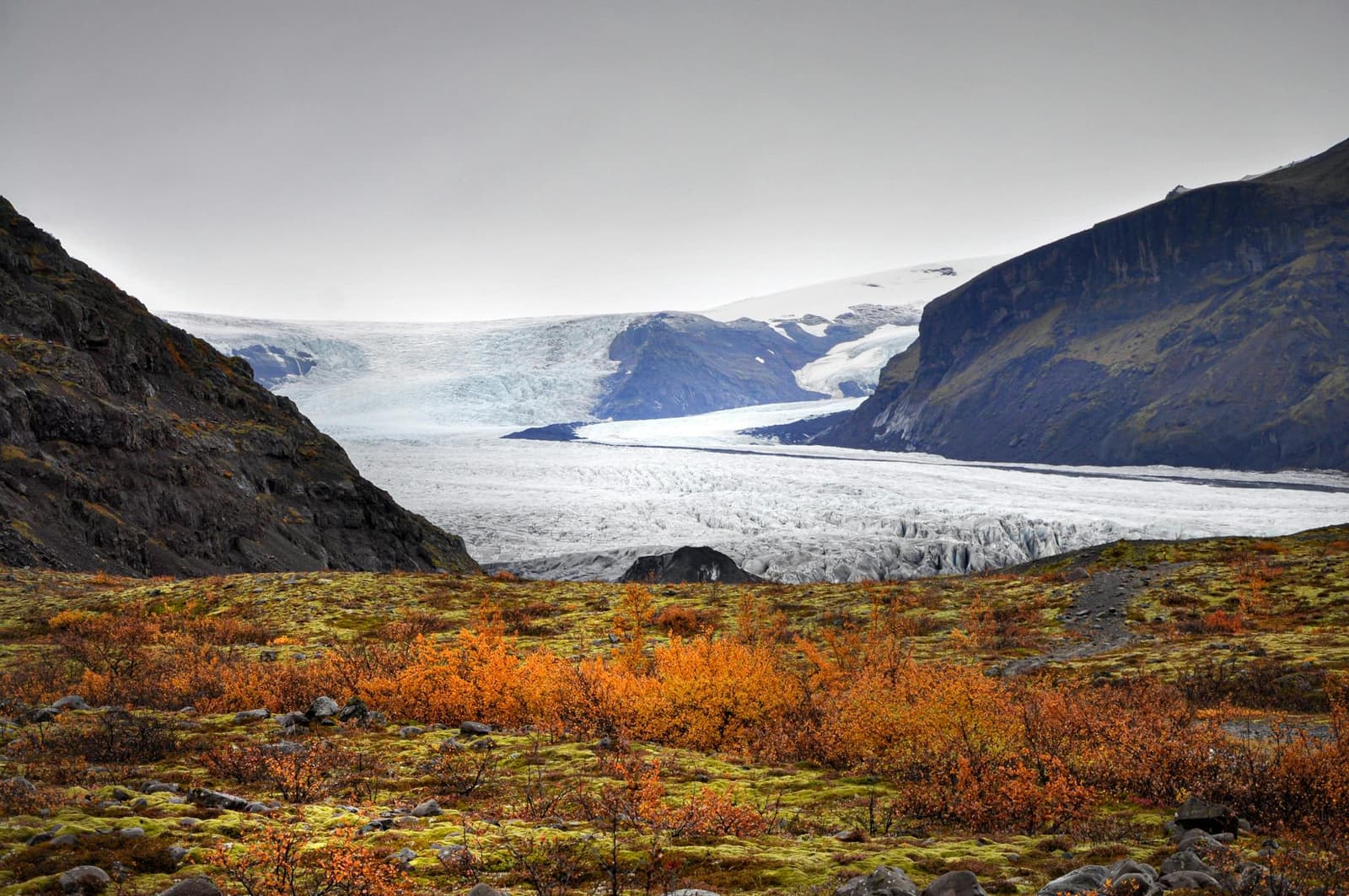
Vatnajökull is Europe's largest ice cap by volume and the central feature of a vast national park. Travelers experience it through specific outlet glaciers, marked trails and lagoons rather than at one entrance or viewpoint.
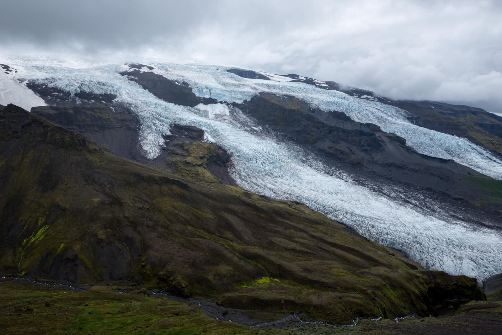
Virkisjökull is a retreating outlet glacier near Skaftafell in southeast Iceland, worth considering when you want quieter glacier views but only if access, weather, and safety checks fit your South Coast day.
Next planning choice
Move from the mountain idea into the nearby base, summit comparison, or South Coast route check.

