Access reality
- Type
- Mountain and hydropower landmark
- Main context
- Þjórsárdalur and Þjórsá
- Region
- South Iceland
- Best for
- Map clarity and route context
- Nearby
- Þjófafoss, Hjálparfoss, Gjáin
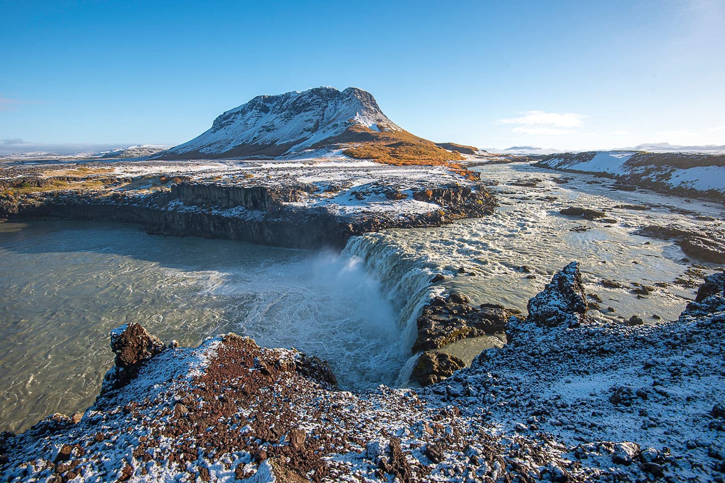
Búrfell is the South Iceland mountain and hydropower landmark above Þjórsá, useful as route context for Þjófafoss and Þjórsárdalur rather than a standalone must-see or a Reykjavík-area hiking pin.
Access reality
This guide owns the South Iceland Búrfell above Þjórsá. It is best handled as a mountain and hydropower landmark within a wider route, not as an attraction with one entrance, one trail, or one fixed set of facilities.
Búrfell belongs naturally to the Þjórsá and Þjórsárdalur context, where the mountain, Búrfell Power Station, Þjófafoss, Hjálparfoss, and Hekla-area views can appear in the same planning conversation.
That does not make Búrfell a must-see on its own. For most visitors it is useful context: a landmark name that helps explain the landscape, river, power infrastructure, and nearby stops. If your day is already too full, plan the clearer attractions first and let Búrfell stay as orientation.
The strongest travel use for this page is the South Iceland valley-and-river cluster east of the classic Golden Circle.
Landsvirkjun identifies Búrfell Power Station as part of the Þjórsá Area and places it near Hjálparfoss and Bjarnalón. Regional visitor information also ties nearby Þjófafoss to the Þjórsá river landscape near Búrfell and Hekla. For a traveler, that makes the name more useful as a route clue than as a checklist item.
A coherent South Iceland detour usually starts with the places that are easier to understand on the ground: Hjálparfoss, Gjáin, Þjóðveldisbærinn at Stöng, Þjófafoss, and the wider Þjórsárdalur valley. Búrfell helps connect those names into one landscape.
| Trip shape | Búrfell's role | Better anchor |
|---|---|---|
| Þjórsárdalur detour | Landscape and name context | Hjálparfoss or Gjáin |
| Þjófafoss visit | Mountain backdrop and orientation | Þjófafoss viewpoint |
| Hydropower interest | Operator and Þjórsá context | Búrfell Power Station information |
| Rushed Golden Circle day | Usually optional | Main route stops first |
The same name can pull travelers toward a different hiking and geology context on the capital-area side of the country.
If the map result or advice mentions Búrfellsgjá, you are probably looking at a separate Reykjavík-area walking and volcanic-landscape topic, not the South Iceland Búrfell in Þjórsárdalur. That version can make sense for hikers based around Reykjavík, Heiðmörk, Garðabær, or nearby lava-field walks.
This page and map point refer to South Iceland. If a search result mentions Búrfellsgjá, Garðabær, or Heiðmörk, use that source's Reykjavík-area hiking information instead; the two places should not share directions or imagery.
Búrfell is useful only when the surrounding route is sensible; a name alone is not enough reason to push inland or onto a trail.
For the South Iceland context, check road and weather conditions before treating an inland branch as easy. Wind, surface conditions, daylight, visibility, and seasonal maintenance can matter more than the short label on a map. If the power-station context matters, use Landsvirkjun information as the operator source and confirm visitor details before relying on access.
For the Reykjavík-area hiking context, use local destination or municipality guidance before setting out. Trail suitability, parking expectations, signage, and weather exposure can change how comfortable a short-looking walk feels.
By ThorPublished Updated
Use current official sources as the final layer before relying on road access, trail advice, operator details, weather, or safety conditions.
Operator information for the hydropower station and Þjórsá-area infrastructure context.
Regional context for the valley and nearby South Iceland stops.
Visitor context for the Þjórsá waterfall near Búrfell and Hekla.
Capital-area hiking and geology context for the similar-name route.
Current road and driving conditions before inland detours.
Forecasts and warnings before exposed driving or walking.
Travel-condition and alert checks before route decisions.
Map
Use nearby places and useful bases before opening directions.
Interactive planning map for Búrfell
Interactive map
Place context and external map links remain available without loading it.
Planning context
Open the region or practical guide that resolves the next planning decision.
Wider route
Use broader place relationships for route comparison; they are not presented as immediate nearby stops.
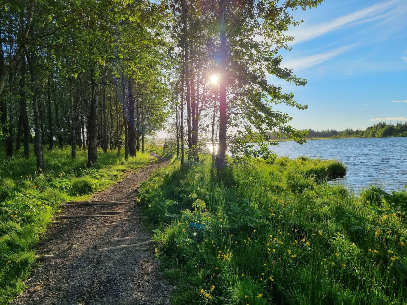
Heiðmörk is Reykjavík’s large forest, lava, and lake-edge recreation area, worth adding when you want easy nature near the city and can choose the right sub-area for your time.
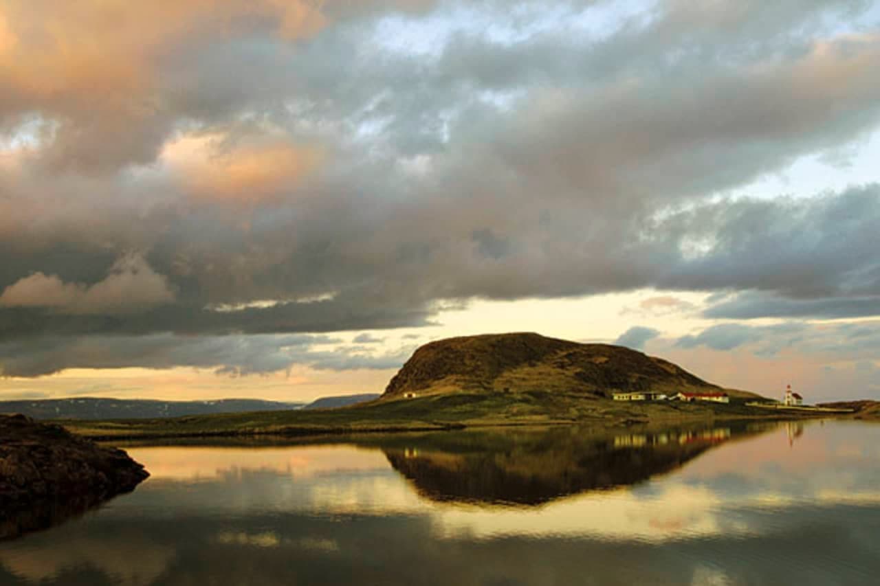
Helgafell is a low sacred mountain just south of Stykkishólmur, best for travelers deciding whether a short climb, saga history, and Breiðafjörður views deserve space in a Snæfellsnes or westbound route.
Next step
Use the next page that helps turn this stop into a practical route decision.