Waterfall facts
- Type
- Hidden mossy waterfall and short walk
- Region
- Snæfellsnes, beside Road 56
- Best for
- Low-pressure waterfall and photo pause
- Time
- About 20 to 45 minutes
- Access
- Downhill walk from the Road 56 rest area
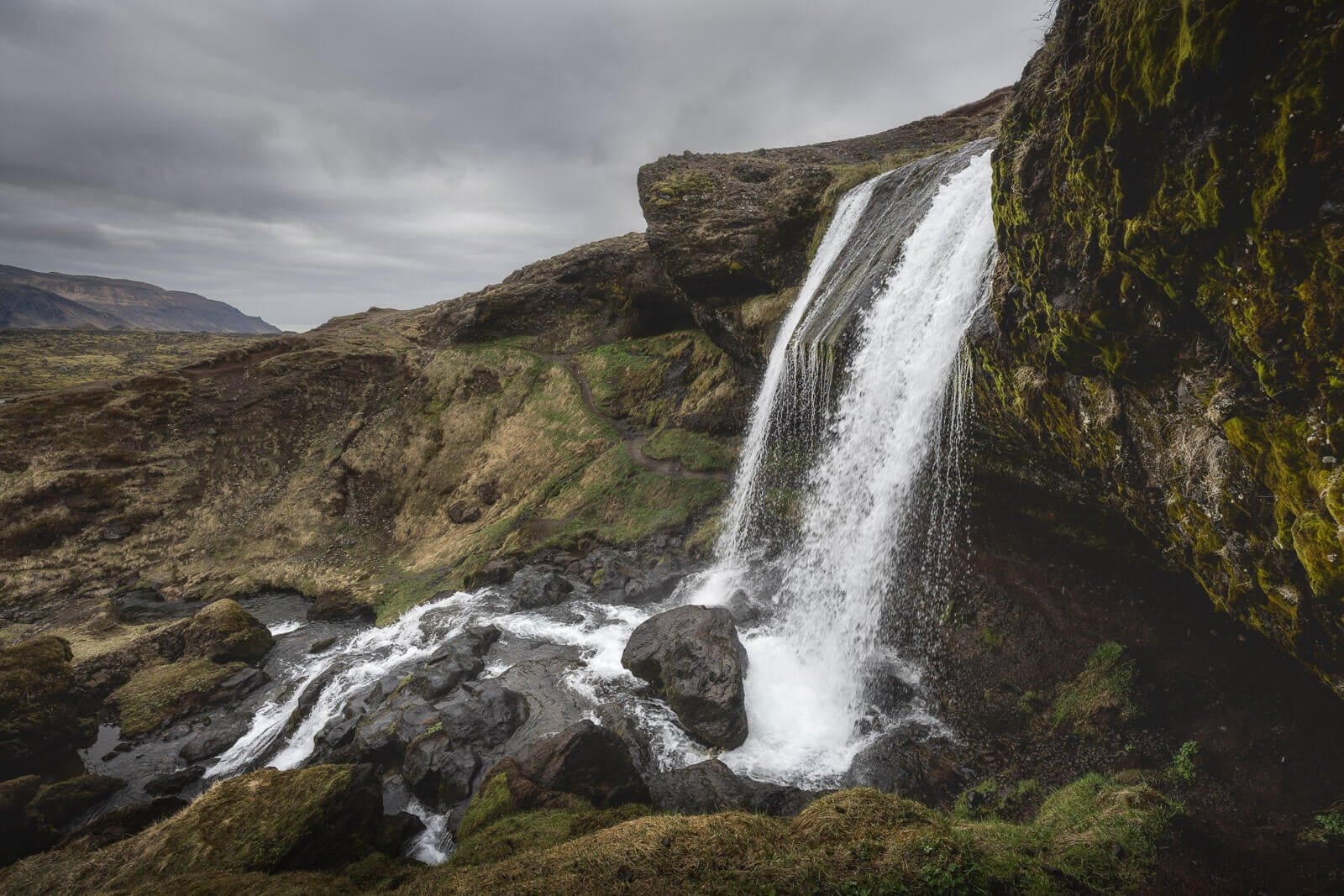
Selvallafoss is a series of cascades below the Road 56 rest area overlooking Selvallavatn and Berserkjahraun on Snæfellsnes. A short downhill walk reveals the falls, with wet footing and fragile vegetation to consider before leaving the viewpoint.
Waterfall facts
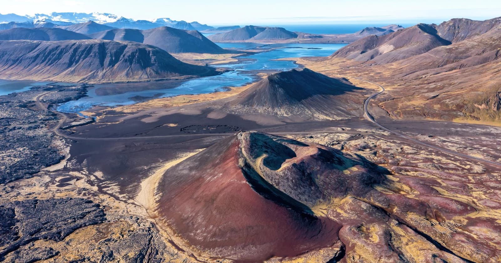
Selvallafoss drops through a grassy gully beside Vatnaleið, the Road 56 crossing of Snæfellsnes. The rest area above it looks over Selvallavatn toward Berserkjahraun.
The main cascade and smaller falls below it make a compact waterfall scene, hidden from the road. The lake and lava-field outlook gives the stop a second reason to pause, including when wet or icy ground makes the walk down a poor choice.
The stop is strongest when paired with Berserkjahraun, Bjarnarhöfn, Ölkelda, Ytri Tunga Beach, or Kirkjufellsfoss Waterfall. It is weaker when your day is already stretched around Kirkjufell, Arnarstapi, Búðir, and the west-side coast.
Use the rest area overlooking Selvallavatn as the arrival point. The waterfall is below the road and requires a walk from the parking area.
The rest area was built for Vegagerðin when Vatnaleið opened in 2001. Basalt seats and tables are a useful landmark. Park within the rest area rather than on the road shoulder; a map pin at the waterfall is not a vehicle entrance.
From the rest area, the walking approach descends toward the lake and waterfall gully. Do not rely on prominent waterfall signs. Follow any marked route and barriers, keep to the established path, and allow for the climb back to the car.
The landscape designer documents the rest area, basalt furniture and views over Selvallavatn.
Expect a compact waterfall scene with close spray, uneven footing, and more texture than its size suggests.
The waterfall is commonly described as a set of cascades rather than one huge vertical fall. That makes it better for slow looking, photos, and a short leg-stretch than for travelers chasing the biggest waterfall names.
Vegetation around the falls is vulnerable to trampling. Avoid shortcuts across moss and grass, even when other footprints lead that way. You can enjoy the lake and lava-field view from the rest area if the waterfall approach is too wet or fragile to use.
The stop works best as a hinge between the lava-field approach and the north-coast waterfall or mountain stops.
If you are coming from the south side, Selvallafoss can sit near the move toward Berserkjahraun and Bjarnarhöfn. If you are looping from the north, it can become a quick nature pause before the route drops back toward the south side.
Do not let it crowd out the stronger decisions nearby. Ytri Tunga Beach is the better wildlife pause, Bjarnarfoss Waterfall has a taller cliff setting, and Kirkjufellsfoss Waterfall carries the more famous mountain-photo context.
Check Road 56 conditions and the local forecast before the crossing. Snow, ice and thaw can make the short downhill walk much harder than its length suggests.
Respect signs, barriers and any local restrictions. Close or behind-waterfall photographs do not establish a safe path on the day: spray can make the ledges slippery, and ice can form around the overhang. Stay with the wider view if reaching the water would require uncertain footing.
Use for Iceland travel alerts and safety guidance before exposed walks.
Use for Road 56 and wider Snæfellsnes driving conditions.
Use for wind, rain, visibility, and warning checks.
No. It is best treated as a small hidden waterfall walk that improves a Road 56 day when the route already passes nearby.
There is a recess behind part of the cascade, but spray, slippery rock and ice can make it unsafe to enter. Stay on the existing approach, respect barriers and choose a wider view when footing is uncertain.
Allow about 20–45 minutes for the downhill walk, views and uphill return from the Road 56 rest area. Take longer for photos or slow footing; skip the descent if conditions are poor.
By ThorPublished Updated
Map
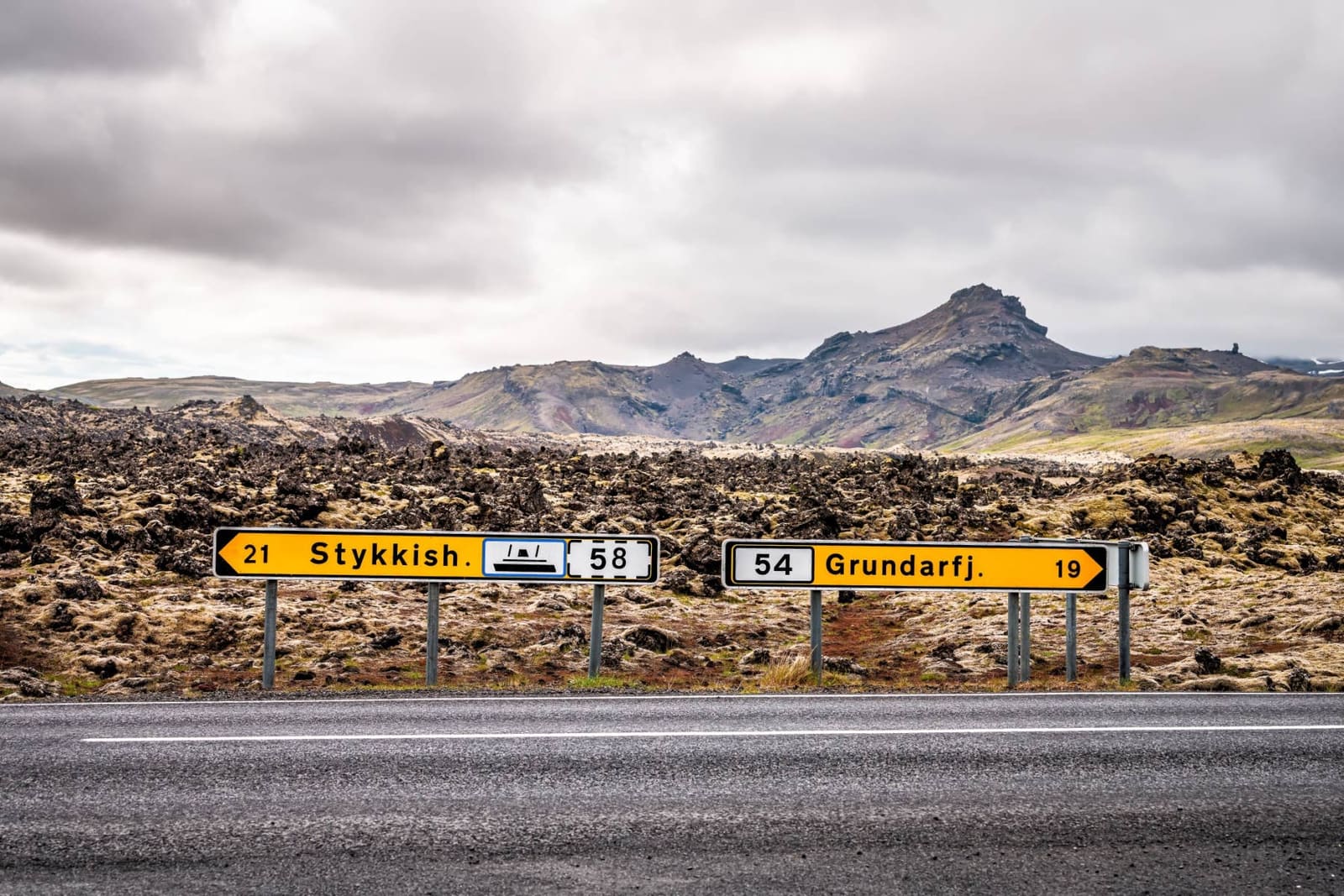
The pin marks Selvallafoss waterfall below Road 56. Arrive at the Vatnaleið rest area overlooking Selvallavatn, then continue on foot; the waterfall pin is not a parking entrance.
Interactive planning map for Selvallafoss Waterfall
Interactive map
Place context and external map links remain available without loading it.
Planning context
Open the region or practical guide that resolves the next planning decision.
Wider route
Use broader place relationships for route comparison; they are not presented as immediate nearby stops.
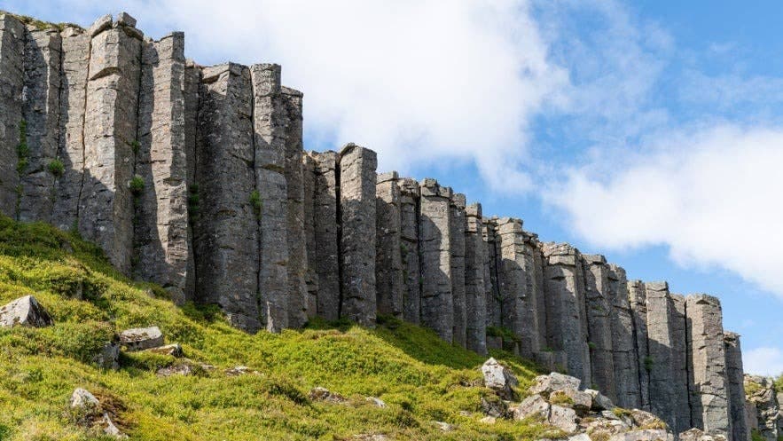
Gerðuberg Cliffs are a wall of regular basalt columns on the southern approach to Snæfellsnes, worth a short stop when geology, route timing, and nearby peninsula plans all line up.
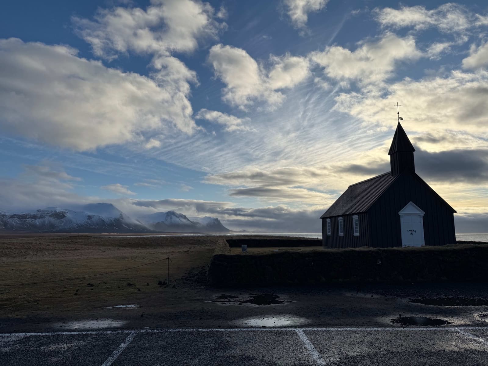
Búðir is a small Snæfellsnes hamlet where the black Búðakirkja church, Búðahraun lava field, coastal light, and glacier backdrop make a short stop feel more distinctive than its size suggests.
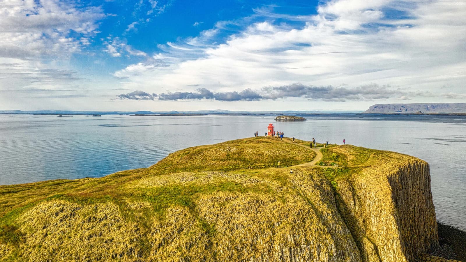
Stykkishólmur is a compact harbor town on north Snæfellsnes, useful for travelers deciding whether to make a quick scenic stop, slow down overnight, or use the ferry link toward Breiðafjörður and the Westfjords.
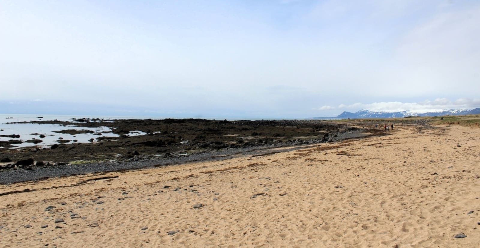
Ytri Tunga Beach is a golden-sand seal-watching stop on south Snæfellsnes, worth adding when your West Iceland day has tide flexibility, quiet wildlife etiquette, and room for a short coastal pause.
Next step
Use the next page that helps turn this stop into a practical route decision.