Is Bjarnarfoss worth stopping for on Snæfellsnes?

Yes, if the south side of Snæfellsnes is already in the plan and you want one short uphill waterfall walk with real payoff. It is much weaker when the peninsula day is already overloaded and the stop only survives because it sits beside the road.

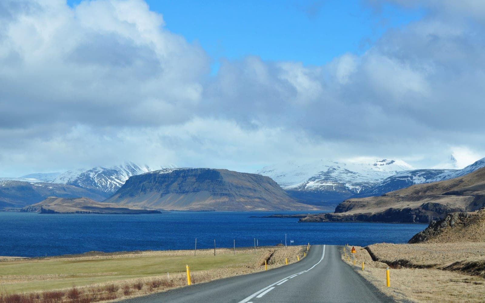
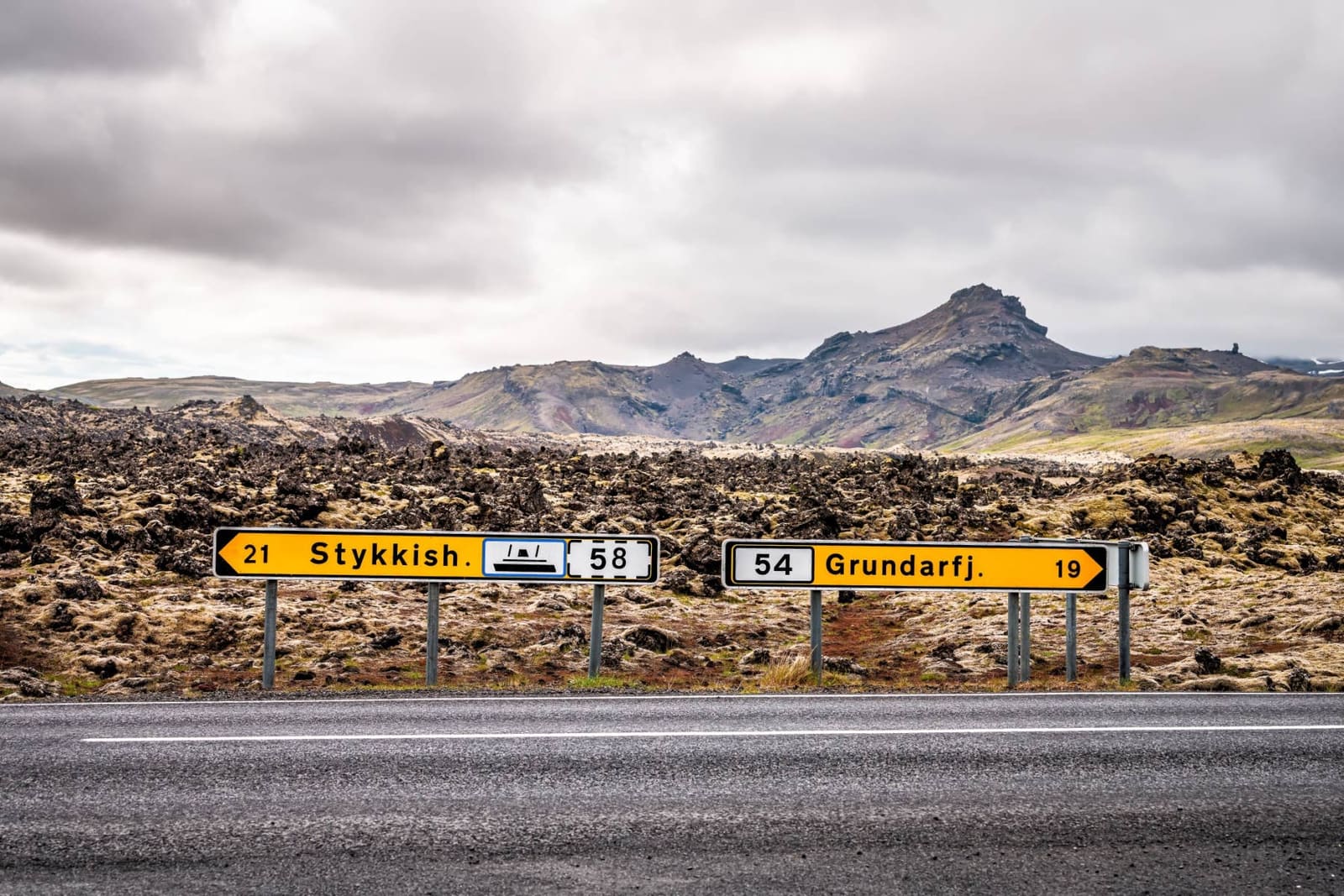
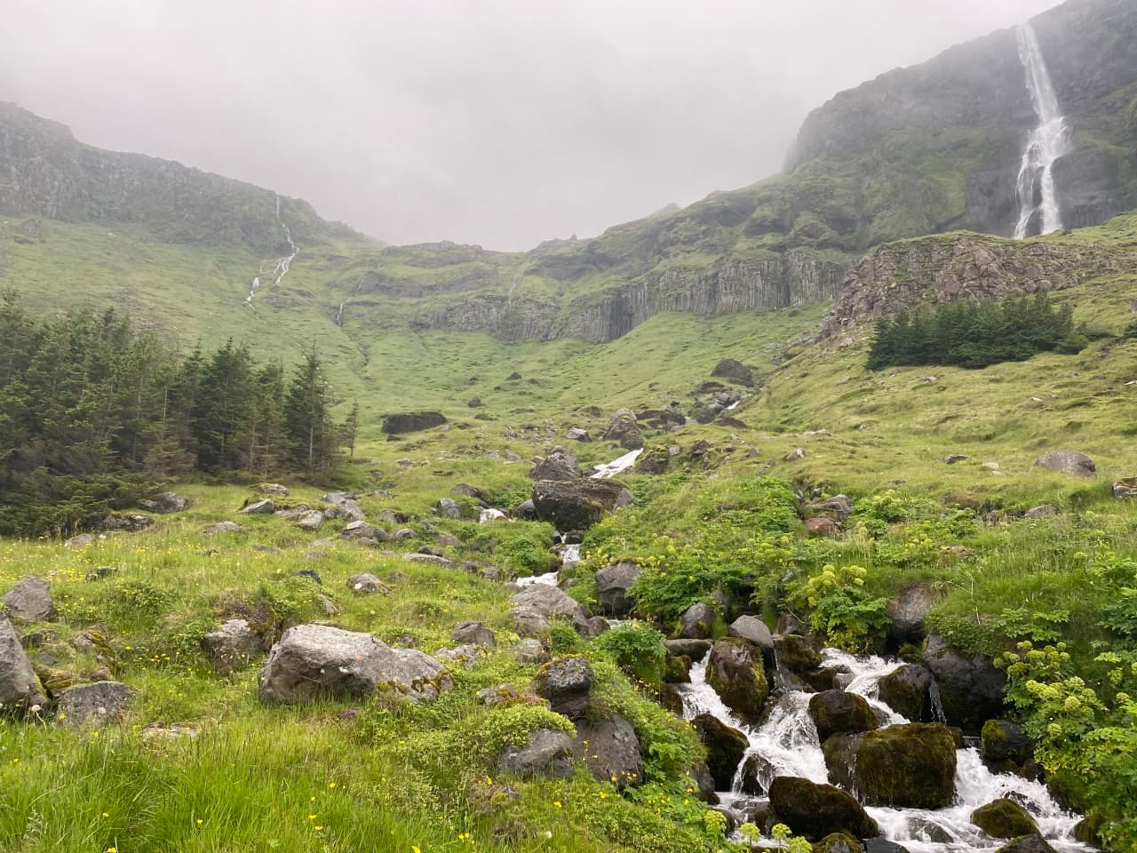
Bjarnarfoss is not just a glance from Route 54. The waterfall stands high above Búðir and works best when you give it enough time to leave the parking area, walk the rising path, and let the valley open up beneath the basalt wall.

A local Iceland travel editor would add Bjarnarfoss when the south-side Snæfellsnes day needs one walk-up stop with strong scenery and not much detour. The same editor would skip it when Ytri Tunga Beach, Arnarstapi, Rauðfeldsgjá Gorge, and farther-west anchors are already competing for the same daylight.

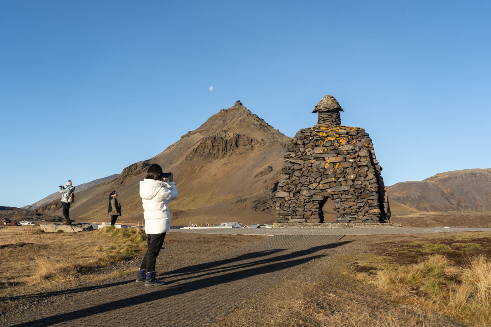
If you want a smaller nature stop that still feels specific to the peninsula, Bjarnarfoss has a cleaner job than forcing another long hike or another full cliff walk. If you mainly want the most famous coastal stop, Arnarstapi or Gatklettur usually carries the stronger pull.

Worth the stop?

When this stop makes sense

Good match for

  • Snæfellsnes self-drives already passing Búðir or Arnarstapi
  • travelers who want one short uphill waterfall walk with real visual payoff
  • photographers who prefer basalt cliffs, mist, and route texture to a major crowds-first icon
  • first-time visitors adding one smaller stop between stronger south-side anchors

Think twice if

  • rushed peninsula loops already overloaded with west-side park stops and long detours
  • visitors expecting a flat car-park viewpoint with no uphill effort

Pair it with

SnæfellsnesYtri Tunga BeachArnarstapiGatklettur

What does the walk and viewpoint actually feel like?

The stop feels greener, steeper, and more open than the roadside first impression suggests.

Bjarnarfoss starts as a simple path-and-slope walk rather than a pure roadside photo stop.

The path rises through grass, low trees, and small streams, with the waterfall holding the eye almost the whole way. That makes the stop legible: you always know what you are climbing toward, even though the walk asks for more than stepping out beside the car.

As you gain height, the view back toward Búðir and the wider plain becomes part of the reward. That is what separates Bjarnarfoss from a simple roadside cascade. The stop is about both the fall itself and the wider south-side Snæfellsnes setting around it.

How much time and effort should you allow?

Most visitors do not need long, but Bjarnarfoss is better when the day includes real margin instead of a countdown.

For many travelers, Bjarnarfoss works in roughly 20 to 45 minutes. The useful distinction is not the number on the clock so much as whether the day has enough slack for a proper uphill pause instead of a rushed stop that never gets past the lower path.

  • Use the lower path and a short pause if the south-side route already has several fixed anchors.
  • Add more time if you want the broader coast-facing reward rather than only the lower-angle waterfall view.
  • Protect the rest of the day if wet ground, wind, or low cloud make the walk slower or less satisfying than expected.
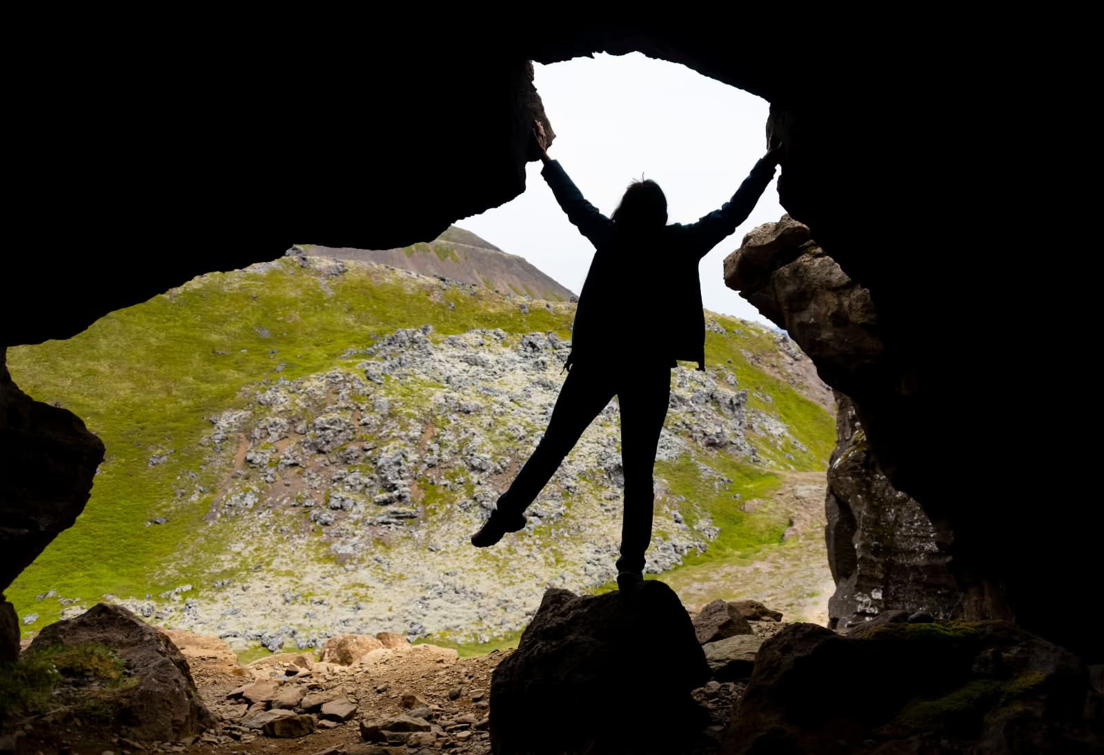
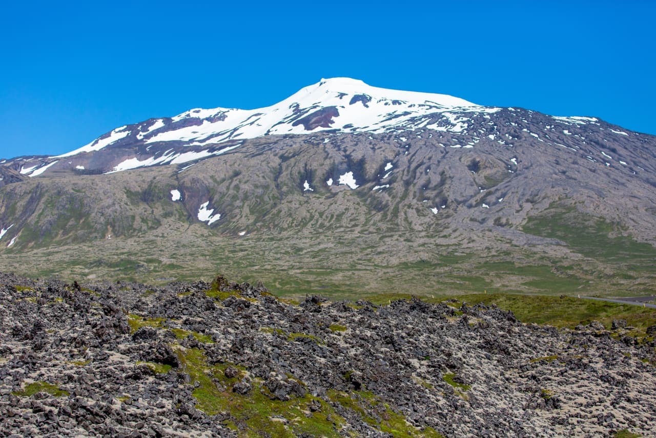
  • Keep the stop optional if Snæfellsjökull, Sönghellir Cave, or other west-side stops still need daylight.

Where does Bjarnarfoss fit with Búðir and the south-side route?

Bjarnarfoss works best as part of a south-side sequence rather than a stand-alone detour.

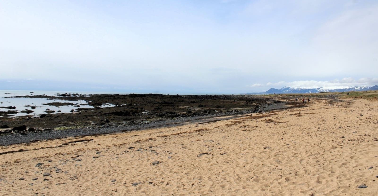
The cleanest pairing starts with Ytri Tunga Beach if you want a gentler coastal stop, then moves through Bjarnarfoss before continuing to Arnarstapi and Gatklettur. That sequence gives you seals and shoreline, one uphill waterfall walk, and then the stronger cliff-and-harbor atmosphere farther west.

The higher you climb, the stop becomes as much about Búðir and the wider plain as the waterfall itself.

If the day already includes Rauðfeldsgjá Gorge or Sönghellir Cave, Bjarnarfoss should stay small and purposeful. If you are continuing deeper toward Snæfellsjökull, use the Snæfellsnes Peninsula Road Trip to keep the waterfall in proportion instead of turning the full peninsula loop into a checklist chase.

Bjarnarfoss route-fit choices
Trip shapeHow Bjarnarfoss worksBest decision
South-side scenic sequenceAdds the clearest waterfall climb between Ytri Tunga Beach and Arnarstapi.Add it when you want one walk-up nature stop without committing to a full hike.
Full Snæfellsnes loopCan become one stop too many once Snæfellsjökull and west-side anchors are also in play.Keep it optional and protect the stronger anchors.
Low-cloud or high-wind dayThe waterfall may still be obvious from below, but the climb loses much of the payoff.Skip early and spend the time on coastal or town stops instead.

What should you check before making it a fixed stop?

Check the conditions before you lock Bjarnarfoss into the day. The drive and walk are both easy to underestimate because the stop looks simple on a map.

Use official road conditions for the wider Snæfellsnes drive, the Icelandic Meteorological Office for wind and visibility, and SafeTravel for outdoor travel context. Regional visitor information is useful for the parking area, trail shape, and the nearby Búðir setting, while protected-area guidance helps if you plan to fold the stop into the surrounding Búðahraun landscape.

Do not build the stop around facility assumptions. If visitor services or access certainty matter for your group, verify official visitor details before fitting Bjarnarfoss into a tight day or a colder-season self-drive. Winter Driving in Iceland is the right next planning read when the same route depends on exposed westbound conditions.

Useful planning references