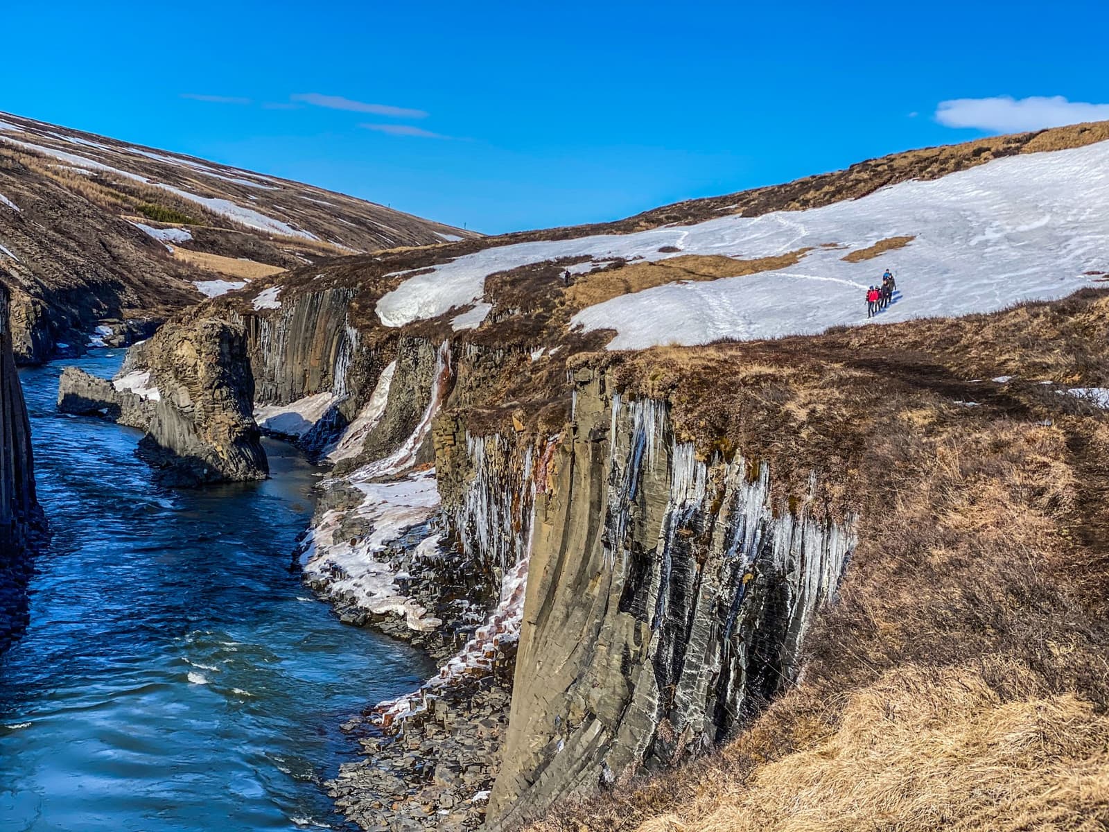
Access reality
- Type
- Remote canyon and viewpoint
- Region
- East Iceland near Kárahnjúkar
- Also called
- Hafrahvammar or Dimmugljúfur
- Access
- Check road 910 and vehicle rules
- Best for
- Slow inland East Iceland day
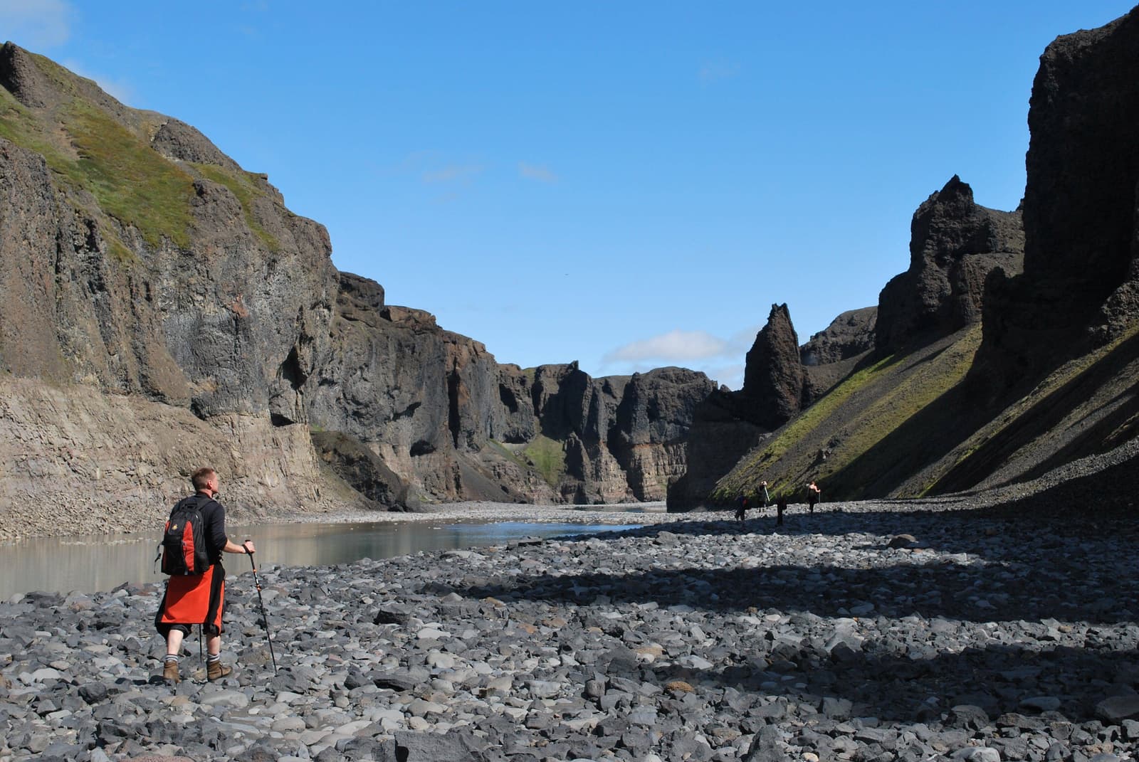
Hafrahvammagljufur Canyon helps travelers connect the long canyon name with Hafrahvammar, understand the Dimmugljúfur and Kárahnjúkar context, and decide whether this remote East Iceland detour deserves route time.
Access reality
Hafrahvammagljufur Canyon is best treated as the long English/ASCII spelling for Hafrahvammagljúfur, the remote East Iceland canyon area many travelers also meet as Hafrahvammar.
Hafrahvammar and Dimmugljúfur are alternate names travelers encounter around the same practical canyon decision. Do not add them as extra stops: use one route plan for the marked Hafrahvammagljúfur access near Kárahnjúkar.
The page is still useful because the longer spelling appears in regional tourism material, maps, and travel guides. It helps you understand what the canyon is, why the name overlaps, and whether the remote access effort belongs in your East Iceland route.
The canyon sits in inland East Iceland, tied to road 910, Kárahnjúkar, the Jökla river landscape, and the neighboring Dimmugljúfur canyon system.
Visit Austurland describes Hafrahvammagljúfur as one of Iceland's large gorges, with a marked route along the gorge and toward Magnahellir. The same source places the visitor decision around road 910 and notes that reaching the trail start requires a more capable vehicle, while part of the gorge can be viewed from Kárahnjúkar dam.
That relationship matters for planning. Kárahnjúkar is not just nearby infrastructure; it is part of the landscape story around Hálslón, dam viewpoints, access roads, and the altered river environment.
Make the canyon a target only when the inland route is already the point of the day. Otherwise, treat the name as context and protect simpler East Iceland plans.
| Trip situation | Best decision | Reason |
|---|---|---|
| You found both Hafrahvammar and Hafrahvammagljufur | Treat them as overlapping | Avoid double-counting one remote canyon area. |
| You are already planning Kárahnjúkar | Consider the canyon | The gorge and dam landscape explain each other. |
| You have a packed Ring Road day | Usually skip | Remote access can crowd easier East Iceland stops. |
| Road or weather checks look uncertain | Keep it optional | The reward drops quickly in poor visibility or rough conditions. |
For most travelers, Egilsstaðir is the practical base before this kind of inland choice. From there, compare the canyon with Laugavallalaug, Kárahnjúkar, or more accessible regional stops before committing the day.
The biggest planning risk is not the name. It is assuming a remote canyon road behaves like a normal viewpoint road on the day you arrive.
By ThorPublished Updated
Use live official checks for conditions and stable tourism sources for place identity. Do not rely on old trip reports for current access.
Use for place identity, road 910 context, trail note, and local access framing.
Use for dam, reservoir, and canyon relationship context.
Check current road conditions before driving inland.
Check wind, visibility, precipitation, and warnings.
Check travel alerts and outdoor safety guidance before a remote detour.
Map
Use nearby places and useful bases before opening directions.
Interactive planning map for Hafrahvammagljúfur Canyon
Interactive map
Place context and external map links remain available without loading it.
Planning context
Open the region or practical guide that resolves the next planning decision.
Wider route
Use broader place relationships for route comparison; they are not presented as immediate nearby stops.