Geldingadalur is the eruption valley below Fagradalsfjall on Reykjanes, worth adding when you want a volcanic hike near Reykjavík and can treat access, weather, gas guidance, and route timing as part of the decision.
Geology snapshot
Type
Eruption valley, lava field, and hiking-focused volcanic landscape
Region
Reykjanes Peninsula, inland from Grindavík and southwest of Reykjavík
Time to allow
For many travelers this is a half-day energy block rather than a quick roadside stop
Best experience
A flexible hike through young lava and wide valley views when visibility and trail conditions cooperate
Access reality
Trail choice, weather, volcanic guidance, gas conditions, and local parking rules matter more than the map pin
In this guide
Is Geldingadalur worth the hike?
Yes, if you want one real volcano-focused walk on Reykjanes and can keep the plan conditional. No, if the day only has room for a quick stop, a fixed booking, or a simple viewpoint near the car.
Geldingadalur is the valley that drew much of the world to Reykjanes when the eruption area below Fagradalsfjall became accessible on foot. The reason to go now is not checklist value alone. It is the chance to walk into a young lava landscape and decide, in person, whether that volcanic scale justifies the time and effort in your trip.
Add Geldingadalur when the group wants one active Reykjanes anchor and is willing to trade easy coastal or spa stops for a more physical volcanic walk. Skip it on a Blue Lagoon day, on a rushed airport transfer, or anytime the plan needs guarantees that this area should not promise.
Go if: you want a lava-field hike with real volcanic context and enough margin for changing conditions.
Skip if: the day needs a short, low-effort Reykjanes stop or a predictable timetable.
Check before committing: official access details, volcanic gas guidance, weather, safety, and road conditions should decide whether the walk still belongs.
Photo guide
Geldingadalur in photos
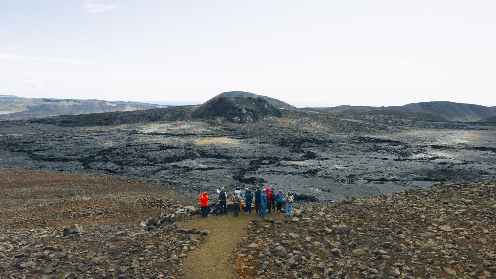
A historical eruption-wide view keeps the valley recognizable in hub cards.
What exactly is Geldingadalur, and why do travelers mix it up with Fagradalsfjall?
Geldingadalur is the valley and eruption landscape. Fagradalsfjall is the broader volcanic and mountain area that many travelers use as shorthand for the whole experience.
That distinction matters because the names often overlap in trip reports, map pins, and casual conversations. Many people say Fagradalsfjall when they really mean the walk toward or through Geldingadalur. For visitors, the practical questions are usually valley access, lava-field walking, and eruption-area expectations rather than reaching a summit.
Historical eruption views like this explain why Geldingadalur became the name many travelers still search for.
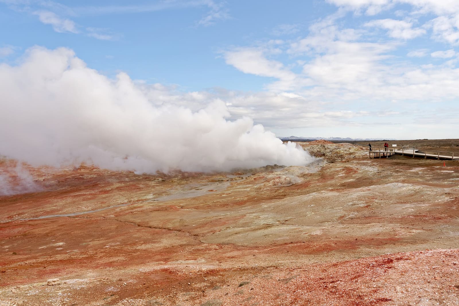
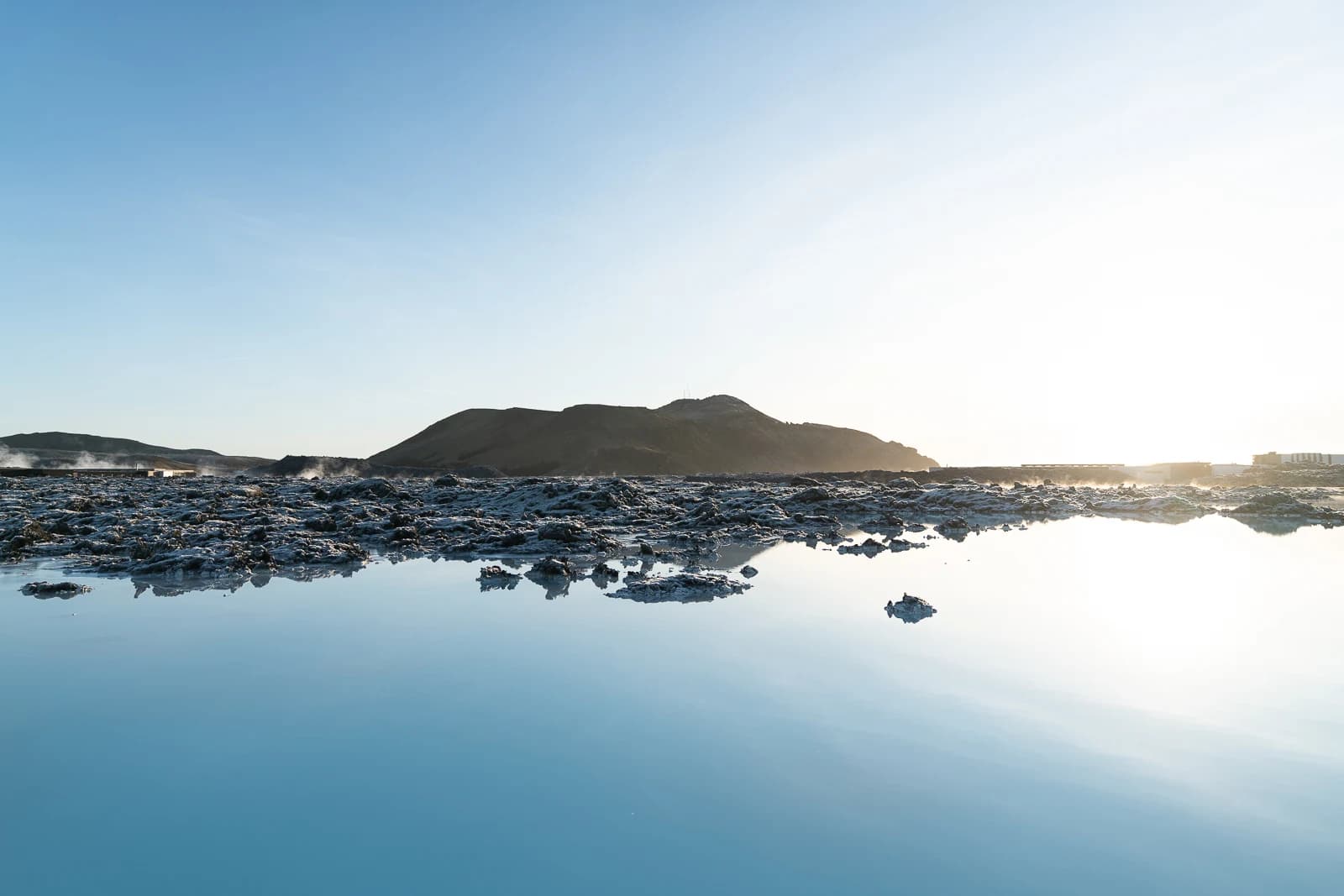
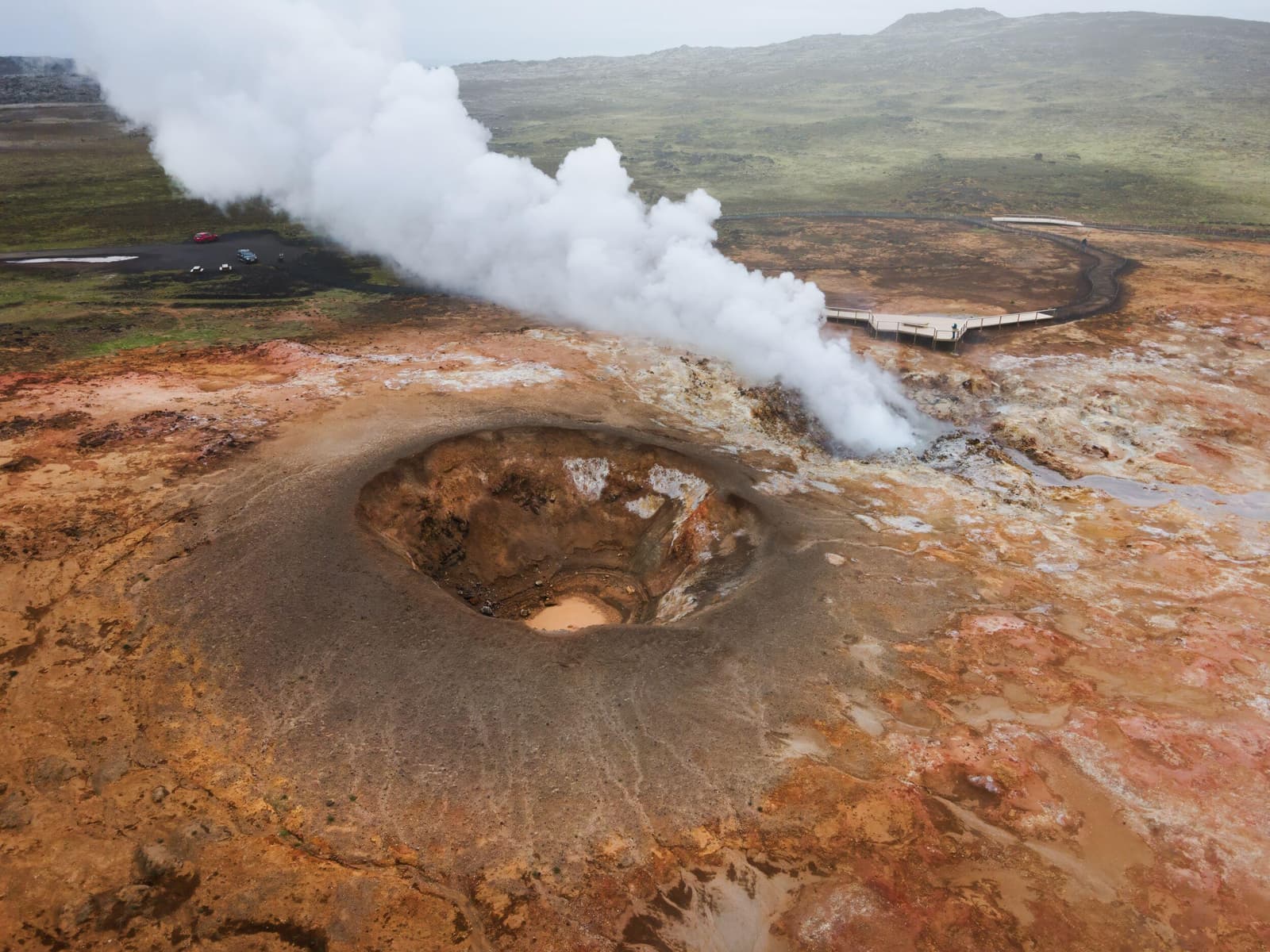
The valley also sits inside a Reykjanes cluster where one stop easily competes with another. If you want walking through recent volcanic ground, Geldingadalur makes sense. If you mainly want geothermal viewing, Gunnuhver is the cleaner decision. If you want a scheduled soak, Blue Lagoon is the clearer anchor.
What does the walk feel like when the hike works?
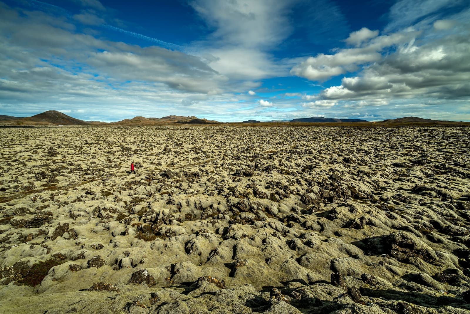
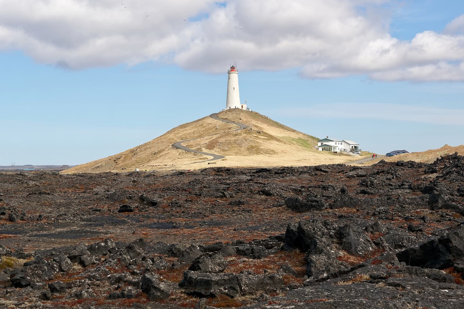
It feels more exposed and more volcanic than most Reykjanes short stops: black lava underfoot, low ridges around the valley, wide open sky, and a landscape that still looks recently changed.
The strongest part of the visit is not a single signboard or fenced overlook. It is the gradual shift from road-access planning into raw terrain. The valley floor, cooled lava, cinder textures, and broad sightlines make the walk feel closer to a live geological process than a polished attraction circuit.
That also means the reward depends on your tolerance for uneven ground, wind, and a route that can feel longer than it sounded on a map. Travelers who prefer compact photo stops usually get more value from Kleifarvatn, Brimketill, or Bridge Between Continents. Travelers who want one active Reykjanes memory often find Geldingadalur more distinctive than trying to collect several shorter pull-offs.
The valley is easiest to understand when you remember it as a walking landscape shaped by eruption, not a simple roadside viewpoint.
How much time and effort does Geldingadalur really need?
More than a normal peninsula short stop. Even when the route looks manageable on paper, this works best when the day has spare energy, daylight, and the freedom to change plans.
Geldingadalur fit by trip style
Your day
Best decision
Why
Arrival or departure day with tight timing
Usually skip Geldingadalur
A conditional hike is a weak match for airport pressure, and Blue Lagoon or Gunnuhver usually fits better.
Flexible Reykjanes self-drive day with one main active stop
Strong fit
The valley can become the anchor, with Kleifarvatn or Ögmundarhraun added only if the walk leaves enough room.
Mixed-ability group that wants short stops
Choose an easier Reykjanes alternative
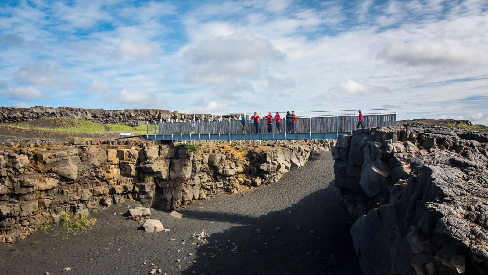
Bridge Between Continents or Brimketill makes more sense when not everyone wants uneven hiking terrain.
Weather, gas, or access guidance looks uncertain
Keep the hike optional
This is the kind of stop that should lose the argument quickly when official guidance weakens.
The practical mistake is treating Geldingadalur like one more checkmark between Gunnuhver, Reykjanesviti, and the coast. It is better as the main walking block in a Reykjanes Peninsula Road Trip, with only one or two supporting stops before or after.
What should you check before committing to the valley?
Check access, gas, weather, and road details before romance. Geldingadalur is the sort of stop where old trip reports become misleading faster than the landscape looks dangerous.
The useful planning order is simple: first decide whether you even want a hike of this shape, then use official and specialist sources to decide whether the route is sensible on the day. Trail options, closures, parking management, volcanic gas, and exposed weather all matter more here than they do at most roadside Reykjanes stops.
Use for practical hiking context when you want a specialist overview alongside official sources.
What pairs well with Geldingadalur if you keep the day on Reykjanes?
Pair it with contrast, not clutter. One active volcanic walk plus one geothermal, coastal, or spa counterweight usually works better than trying to collect half the peninsula afterward.
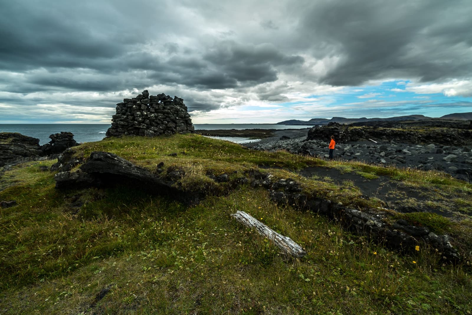
Blue Lagoon is the obvious contrast when the trip wants one managed stop and one natural volcanic block. Gunnuhver works when you want visible geothermal force without another long walk. Kleifarvatn adds a quieter volcanic-lake mood, while Ögmundarhraun and Selatangar make sense only if you are building a slower south-side Reykjanes loop.
Continue only if the next stop genuinely improves the day. After a demanding hike, that often means doing less, not more. If the valley already gave you the volcanic experience you came for, ending the day with one calmer stop is usually better than forcing the whole peninsula into a rushed sequence.
Common questions about Geldingadalur
Most confusion comes from mixing up the valley name, the broader Fagradalsfjall label, and the difference between an eruption landscape and a guaranteed live-volcano experience.
Is Geldingadalur the same as Fagradalsfjall?
No. Geldingadalur is the valley and eruption landscape, while Fagradalsfjall is the broader volcanic and mountain area that many travelers use as the umbrella name.
Can you treat Geldingadalur as a short stop?
Usually no. The page is most useful when you treat the valley as a hike decision with real walking effort, not as another quick Reykjanes pull-off.
Should you expect to see flowing lava?
No. Treat Geldingadalur as an eruption-landscape hike first, then check official visitor, safety, and volcanic sources before assuming any live activity or access.
Who gets the most value from Geldingadalur?
Travelers who want one meaningful Reykjanes hike, can handle uneven ground, and have enough flexibility to let official conditions decide the day usually get the most value.