Geology snapshot
- Type
- Protected lava field and walking area
- Region
- South Snæfellsnes, beside Búðir
- Best for
- Moss, lava, sand, and church views
- Time
- About 30 minutes to 2 hours
- Access
- Walking paths from the Búðir area
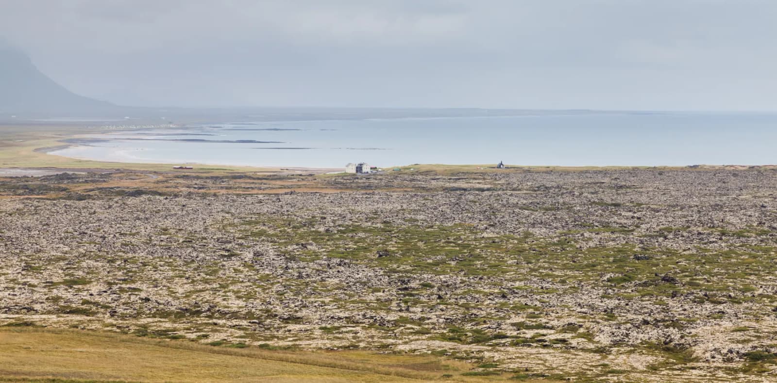
Búðahraun Lava Field is a protected lava landscape by Búðir on south Snæfellsnes, useful for travelers who want a short walk with moss, sand, church views, and deeper volcanic context.
Geology snapshot
Yes, when you want the lava field, old route traces, and coastal texture around Búðir. If you only want the black church image, keep the stop short.
Búðahraun is the mossy lava-field landscape around Búðir on the south side of Snæfellsnes. Many travelers first notice it because Búðakirkja stands against the lava, sand, and mountain backdrop, but the place makes more sense when you treat the ground around the church as part of the visit.
The stop belongs in a slower Snæfellsnes day. Walk a little, look at how pale sand cuts through dark lava, and use the setting to understand why this coast feels different from a simple roadside viewpoint.
Photo guide
1 / 2
A second Frambúðir-area view reinforces the old-route layer without replacing the main lava-field images.
The attraction is not one viewpoint. It is the mix of mossy lava, pale sand, old coastal routes, Búðaklettur, and open Snæfellsnes weather.
National park visitor information identifies Búðaklettur as the crater in the middle of the lava field and describes Búðahraun as a place with especially rich vegetation. That matters for travelers because the visual reward is close and textural rather than a single dramatic overlook.
Look for the contrast between soft-looking moss and rough lava edges, and avoid stepping where paths or local signs ask you not to. The lava field's slower detail is the reason to pause; rushing through it turns the stop into just another photograph of the church.
Plan the time around your walking ambition. A quick look can be brief, while the longer route choices change the rhythm of the south Snæfellsnes day.
If you only want the broad setting around Búðir, a short stop can be enough. If you want to walk toward Frambúðir or use the marked routes through the lava field, protect more time and avoid stacking the day with too many west-side targets.
Búðahraun works best as a pause between wildlife, waterfalls, gorges, and coastal villages rather than as a standalone destination.
The cleanest nearby sequence is Ytri Tunga Beach, Búðir and Búðahraun, Bjarnarfoss Waterfall, Rauðfeldsgjá Gorge, and Arnarstapi. That gives the day seals or shoreline, lava-field walking, a waterfall backdrop, a narrow gorge, and coastal cliffs without crossing the peninsula repeatedly.
If you continue west, Gatklettur, Sönghellir Cave, Vatnshellir Cave, and Snæfellsjökull shift the emphasis toward cliffs, folklore, caves, and national-park geology. Búðahraun is quieter than those anchors, but it helps the south side feel connected instead of being a string of unrelated pull-offs.
| Trip shape | How it works | Best decision |
|---|---|---|
| Slow south-side day | Adds lava-field walking and heritage context beside Búðir. | Give it time before moving west. |
| Full peninsula loop | Can be overshadowed by cliffs, caves, beaches, and Kirkjufell. | Use it as a selective pause. |
| Poor visibility | The church and lava still have atmosphere, but walking value drops. | Shorten the stop. |
Búðahraun is approachable, but it is still an exposed coastal lava-field area where weather, footing, and visitor guidance should shape the visit.
Use official road conditions for the drive around Snæfellsnes, weather guidance for wind and visibility, and SafeTravel for general outdoor preparation. For path choices, visitor information from Snæfellsjökull National Park is the best place to verify route descriptions and local guidance.
Use for place context, walking-route descriptions, and protected-area visitor information.
Use before driving Snæfellsnes routes around Búðir.
Use for wind, visibility, precipitation, and warnings.
Use for outdoor travel preparation before walking exposed lava-field or coastal routes.
By ThorPublished Updated
Map
Use nearby places and useful bases before opening directions.
Interactive planning map for Búðahraun Lava Field
Interactive map
Place context and external map links remain available without loading it.
Planning context
Open the region or practical guide that resolves the next planning decision.
Wider route
Use broader place relationships for route comparison; they are not presented as immediate nearby stops.
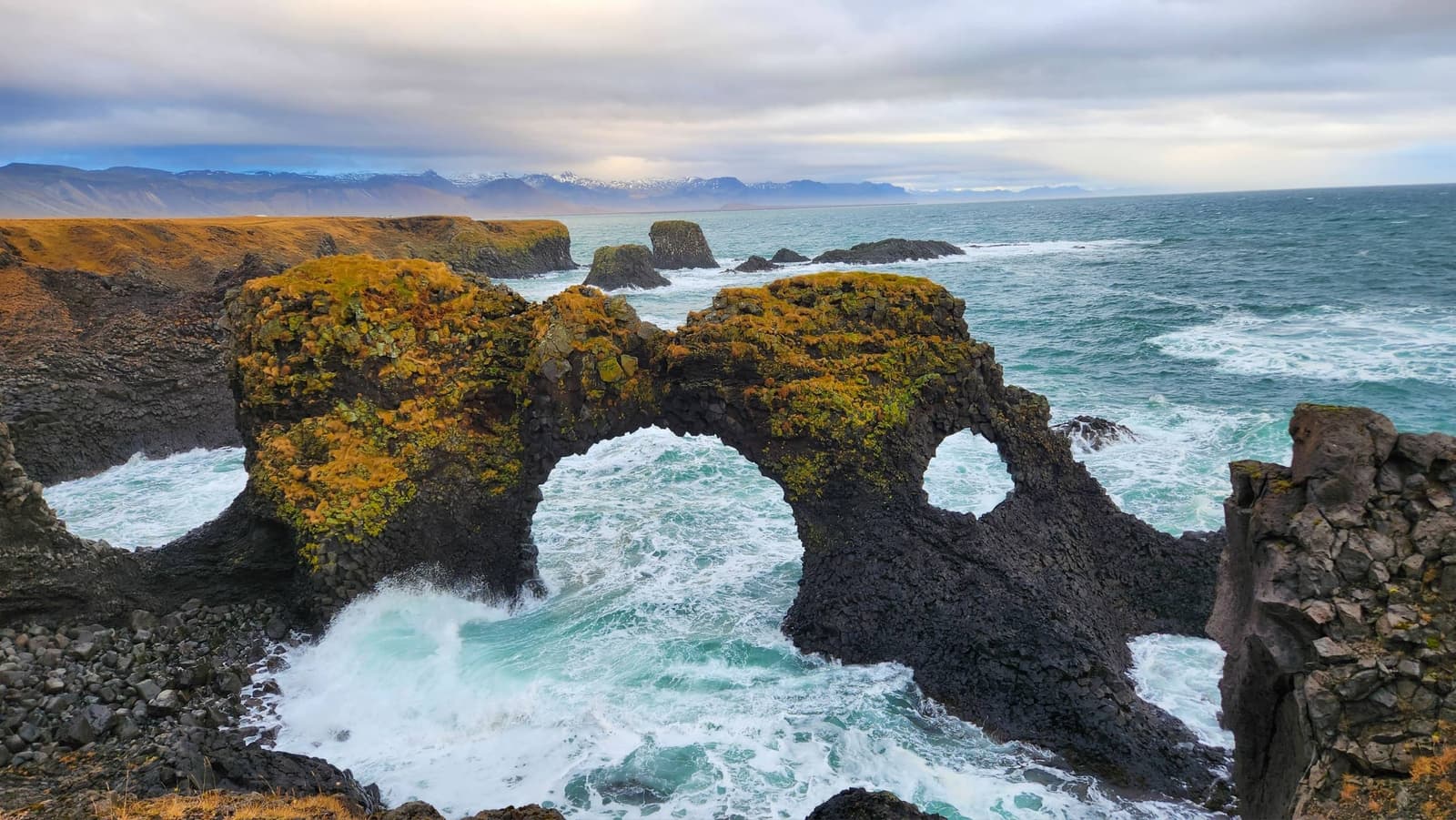
Gatklettur is a basalt sea arch beside Arnarstapi on south Snæfellsnes, worth adding when you want a short cliff-edge photo stop or a wider coastal walk toward Hellnar.
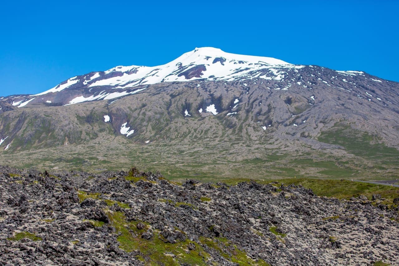
Snæfellsjökull is a 1,446-metre glacier-capped volcano and the defining landmark of western Snæfellsnes. Most people experience it from the national park coast and surrounding roads; going onto the glacier is a separate, guided undertaking.
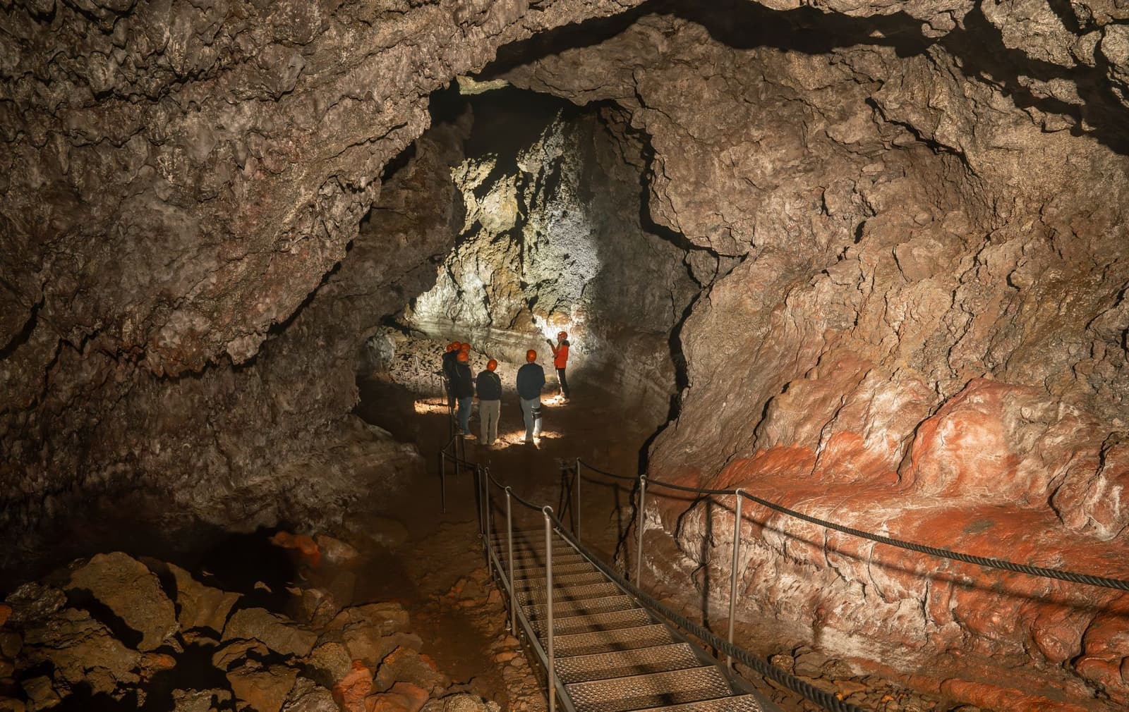
Vatnshellir Cave is a guided lava-tube stop inside Snæfellsjökull National Park, best for Snæfellsnes travelers who want underground volcanic texture and can handle stairs, darkness, and booking checks.
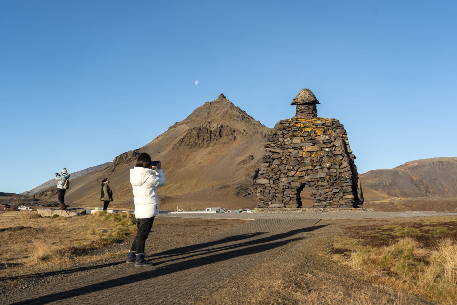
Arnarstapi is a small coastal village on south Snæfellsnes, worth adding when you want sea cliffs, Gatklettur, birdlife, and an easy walking stop that still needs wind, surf, and route-time judgment.
After Búðahraun
Use the next pages to decide whether this lava-field walk belongs in your Snæfellsnes day.