Short stop snapshot
- Type
- Ambiguous river-name guide
- Region
- North Iceland contexts
- Best for
- Map checks and fishing research
- Role
- Context, not a must-see stop
- Watch for
- Bardardalur and Skagafjordur references
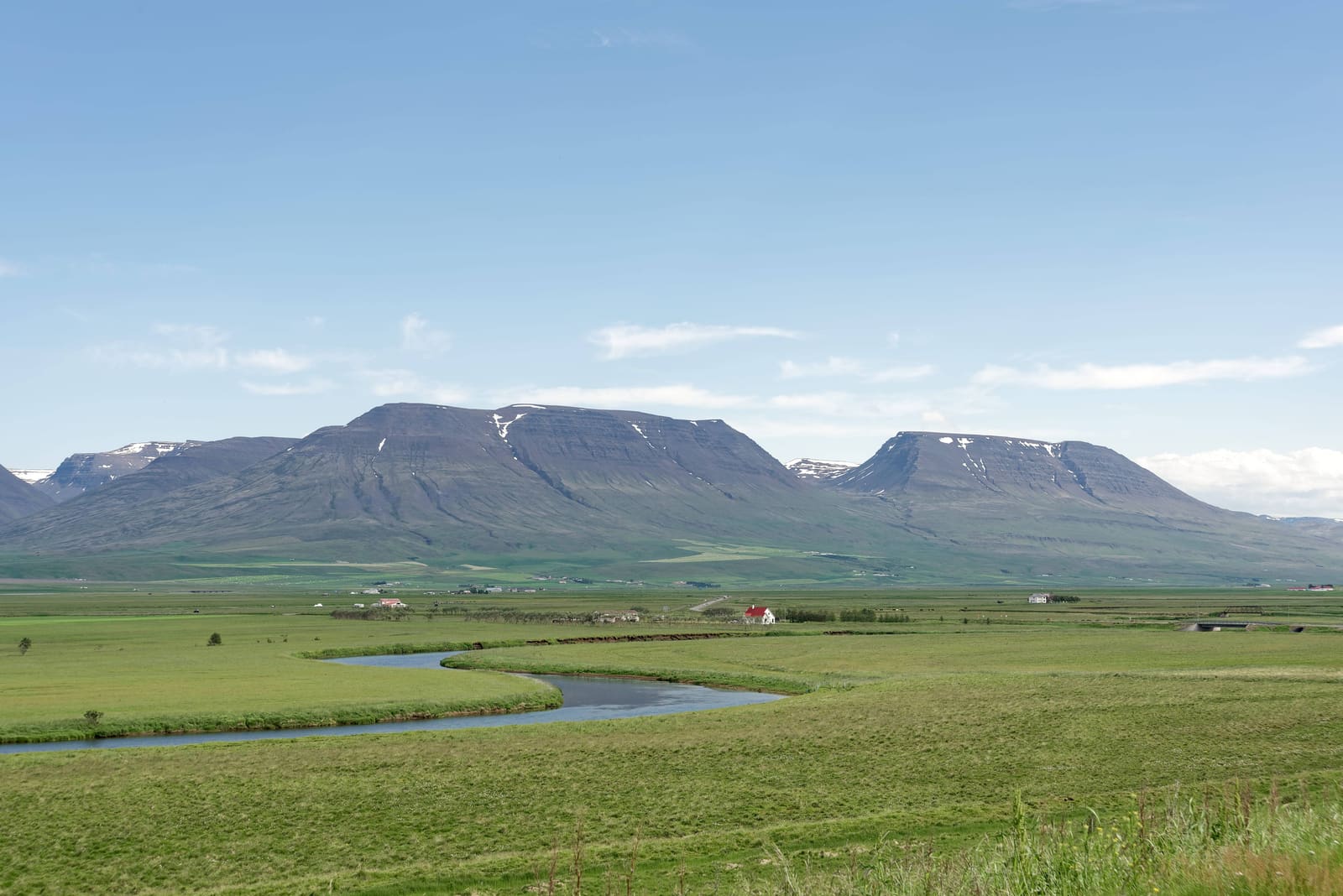
Svarta helps travelers decode an Icelandic river name that appears in more than one North Iceland context, then decide whether it matters for route planning, fishing research, or map checks.
Short stop snapshot
Svarta, more correctly written Svartá in Icelandic, is best treated as an ambiguous North Iceland river name. It can point to different river contexts, so most travelers should use it for map clarity rather than sightseeing priority.
This page exists because the name can look deceptively simple in travel research. One public travel source describes Svarta in Bardardalur, near the Skjalfandafljot river system and stronger waterfall stops such as Godafoss and Aldeyjarfoss. Other fishing and regional sources point to a Svarta in Skagafjordur, near Road 752 and Varmahlid.
That makes Svarta useful, but not in the same way as a waterfall or museum. Care about the name when a map pin, fishing page, accommodation listing, or rural route note needs checking. Do not build a first Iceland trip around it unless you already have a specific, verified reason.
The confusion is not just spelling. Public sources describe more than one North Iceland river called Svarta or Svartá, and they belong to different planning areas.
The Bardardalur version matters mostly to anglers and travelers looking at the inland country between Husavik, Godafoss, Aldeyjarfoss, and the Skjalfandafljot river system. Sources describe it as a trout river rather than a mainstream public sightseeing stop.
The Skagafjordur version appears in fishing-area information around the older Lythingsstadahreppur area, Road 752, Huseyjarkvisl, and Varmahlid. That is a different planning problem: the name may be useful if your accommodation, permit, local map, or route note points into Skagafjordur.
| Reference clue | Likely context | Planning move |
|---|---|---|
| Bardardalur, Ullarfoss, Skjalfandafljot | North Iceland river and fishing context | Check exact pin, roads, and access before going |
| Road 752, Varmahlid, Huseyjarkvisl | Skagafjordur river and angling context | Confirm local route, permissions, and signs |
| Blanda or Blonduos references | Another North Iceland Svarta usage | Do not assume it is the Bardardalur river |
| Generic travel map result | Potentially ambiguous | Cross-check the region before adding a stop |
Svarta deserves attention when it solves a specific planning question. It rarely deserves time as an independent stop for ordinary sightseeing.
If the reference points east, make the bigger decision around Godafoss, Aldeyjarfoss, and the Bardardalur side-road conditions. If it points west, use Skagafjordur, Varmahlid, Glaumbaer, or Saudarkrokur to decide whether the area belongs in the day.
The practical risk is not that Svarta is impossible to understand. The risk is following the wrong pin, assuming access, or treating a fishing river like a staffed attraction.
Before navigating, compare the map result with the region named in your source. Then check road conditions, weather, daylight, local signs, and whether riverbank access requires permission. Fishing details should come from the relevant operator or permit source, not a general travel page.
River areas can also be poor places for casual wandering when banks are wet, roads are rough, visibility is low, or farms and private land shape access. Keep the plan flexible and let confirmed nearby places carry the route.
Supports the Bardardalur river context and nearby North Iceland orientation.
Supports fishing-specific Bardardalur context; confirm current permit details with the operator.
Supports the separate Skagafjordur use of the Svarta name.
Check current rural and regional driving conditions before following a pin.
Check wind, precipitation, warnings, and visibility before river-adjacent outdoor plans.
Use official safety guidance for rural driving and exposed outdoor decisions.
By ThorPublished Updated
Map
Use nearby places and useful bases before opening directions.
Interactive planning map for Svarta
Interactive map
Place context and external map links remain available without loading it.
Routes and itineraries
Compare road trips and itineraries that give this place a sensible position in the wider journey.
Planning context
Open the region or practical guide that resolves the next planning decision.