
Culture snapshot
- Type
- Historic assembly-site landmark
- Setting
- Inside Þingvellir National Park
- Best for
- Alþing history on foot
- Time
- About 10 to 25 minutes
- Pair with
- Almannagjá and Þingvallakirkja
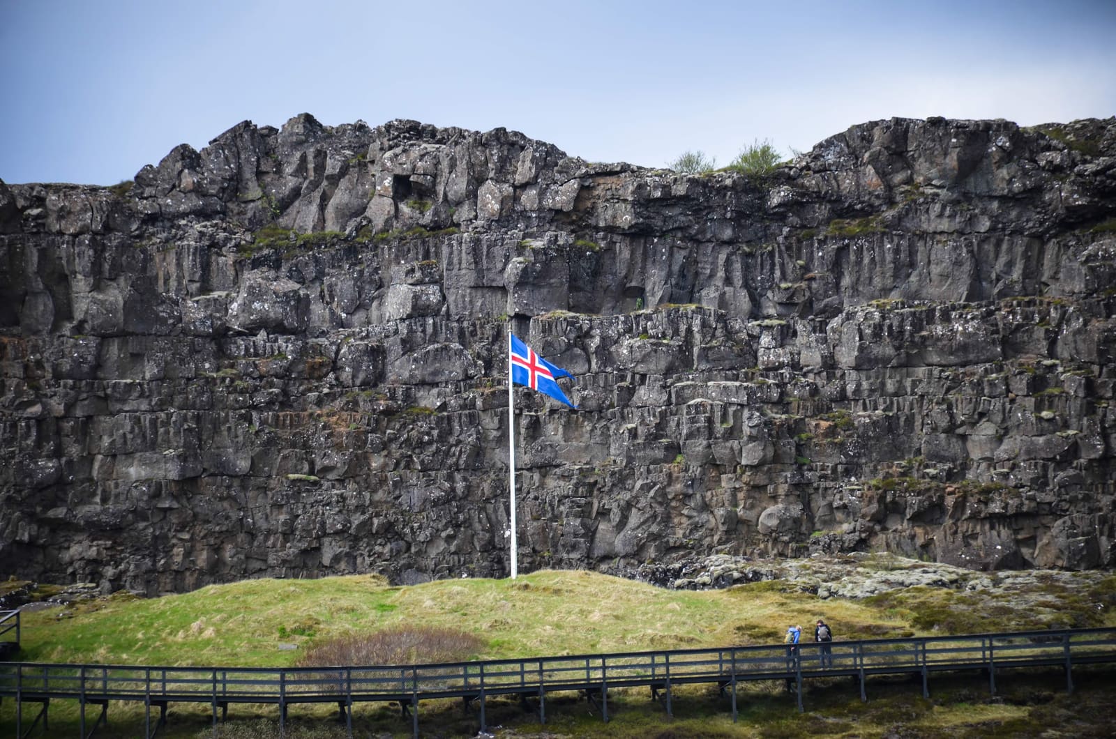
Lögberg Law Rock is the historic speaking place inside Þingvellir, useful for travelers who want the Golden Circle to include Alþing history, a short assembly-site walk, and nearby rift-valley context.
Culture snapshot
Yes, if the point of your Þingvellir stop is to understand the old assembly landscape, not just photograph cliffs and water.
Lögberg, or Law Rock, is the historic speaking place within Þingvellir National Park, close to the paths that connect Almannagjá, Þingvallakirkja, and Öxarárfoss.
The stop works best when you give it a few quiet minutes inside the wider park walk. If your plan only allows one viewpoint, Lögberg can feel too subtle; if you care about Iceland's parliament story, it anchors the whole area.
Photo guide
Winter changes the pace of the same Þingvellir assembly-site area.
Lögberg matters because it turns Þingvellir's history from an abstract national story into a specific place in the landscape.
Official park history places Lögberg at the heart of the Alþing during the Commonwealth period. It was the public point for speaking, announcements, and the legal life that made Þingvellir more than a scenic valley.
That does not mean the modern stop is visually huge. Its value is interpretive: standing there helps connect the rift, the church area, the Law Council context, and the idea of an outdoor parliament in one compact place.
Treat Lögberg as one stop in the main Þingvellir cluster, not as a competing attraction against the larger Golden Circle sights.
A practical visit usually starts with the larger Þingvellir decision: how much time do you have for walking? With a short window, pair Lögberg with Almannagjá and the church area. With more room, continue toward Öxarárfoss or add Silfra context.
| Plan | Why it works |
|---|---|
| Short history pause | Adds meaning without turning Þingvellir into a long stop. |
| Assembly-site walk | Connects Law Rock, the church area, and Almannagjá. |
| Golden Circle day | Balances scenery at Geysir and Gullfoss with cultural context. |
Expect a short, interpretive pause rather than a dramatic viewpoint. The best moment is reading the landscape around the marker.
The Law Rock area feels strongest when you slow down and look outward: rift walls, paths, the church and farm buildings, lake-country light, and the old assembly plain. Weather can make that pause either contemplative or brief.
For many travelers, the stop is best before the day shifts toward Geysir and Gullfoss. After those bigger visual hits, Lögberg's quiet historical value can be easier to rush past.
This is a protected national-park site, so the practical decision should stay flexible until you check official visitor, road, weather, and safety information.
Check official park visitor details if you need information on paths, parking, services, guided walks, or the Hakið visitor centre. The exhibition there can add useful context if the outdoor stop leaves you wanting more about the Law Council and the park's nature.
Official history context for Lögberg and the Alþing.
Official context for Law Rock, Law Council, and nearby fissures.
Road-condition checks before driving the Golden Circle.
Weather checks for exposed park paths and driving decisions.
These are the practical uncertainties that decide whether the stop deserves time inside a Þingvellir visit.
No. Treat it as a specific historic point within Þingvellir National Park, best visited during the same walk as Almannagjá and the old assembly-site area.
Most travelers only need about 10 to 25 minutes at the marker itself, unless they are using it as part of a longer Þingvellir history walk.
It is less convincing as a standalone stop. Focus on Almannagjá, Öxarárfoss, or the wider park viewpoints if scenery is your only priority.
By ThorPublished Updated
Map
Use nearby places and useful bases before opening directions.
Interactive planning map for Lögberg Law Rock
Interactive map
Place context and external map links remain available without loading it.
Planning context
Open the region or practical guide that resolves the next planning decision.
Wider route
Use broader place relationships for route comparison; they are not presented as immediate nearby stops.
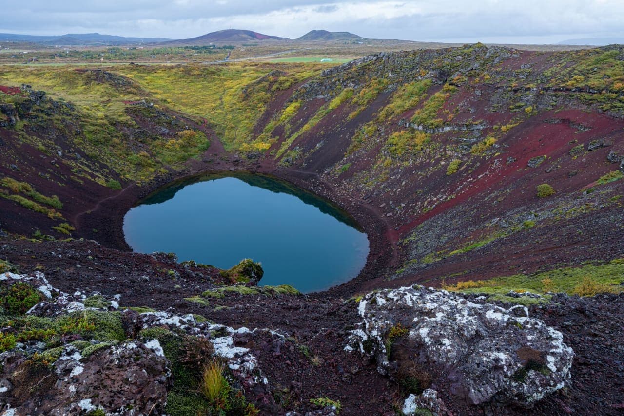
Kerið is a volcanic crater lake on the Golden Circle, useful as a short color-and-geology stop when your route has space beyond Gullfoss, Geysir, and Þingvellir, with enough flexibility for conditions and nearby route choices.
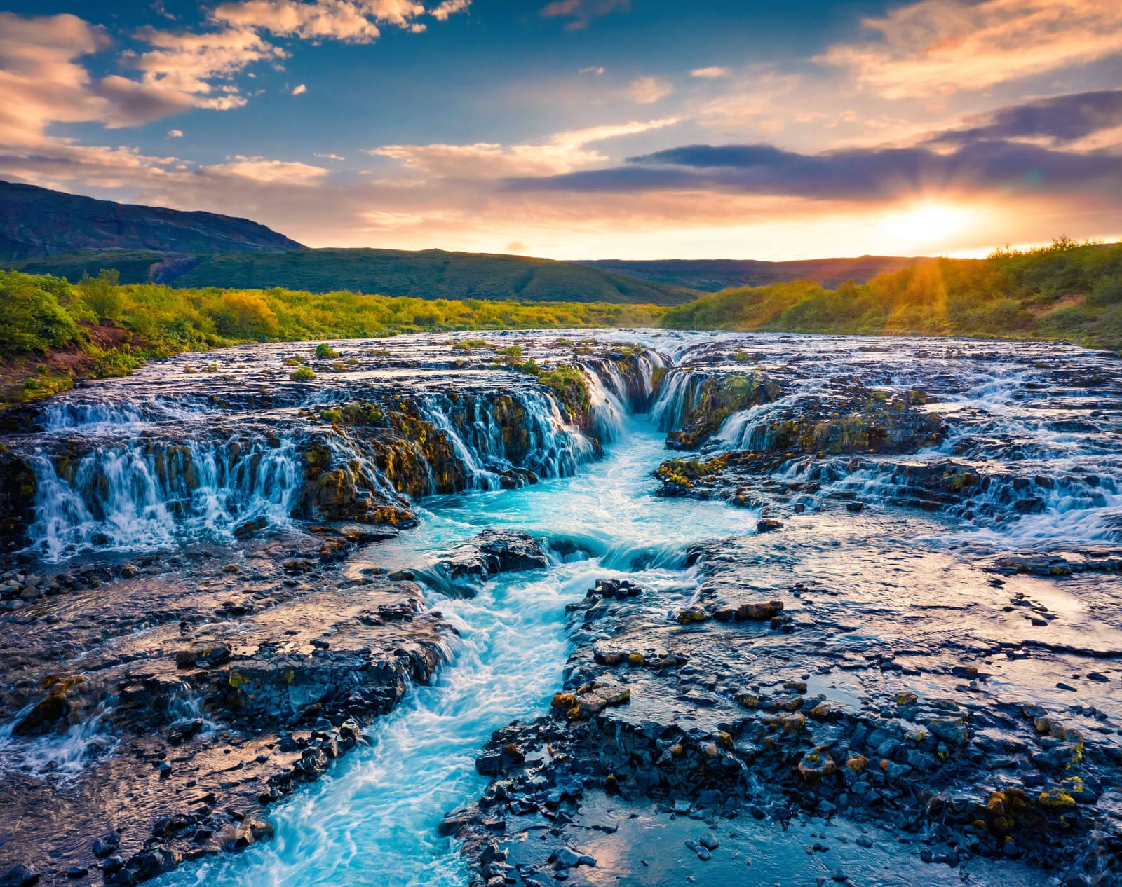
Brúarfoss is a low, blue-water waterfall near the Golden Circle. Choose between a shorter visit from paid Hlauptunga parking and the 7 km riverside hike, which is closed in winter, before setting the time budget for your day.
