
Area snapshot
- Type
- Regional coast context
- Region
- Around Iceland's island shoreline
- Best for
- Choosing specific coastal stops
- Role
- Route context, not one attraction
- Access
- Roads, walks, ferries, and viewpoints
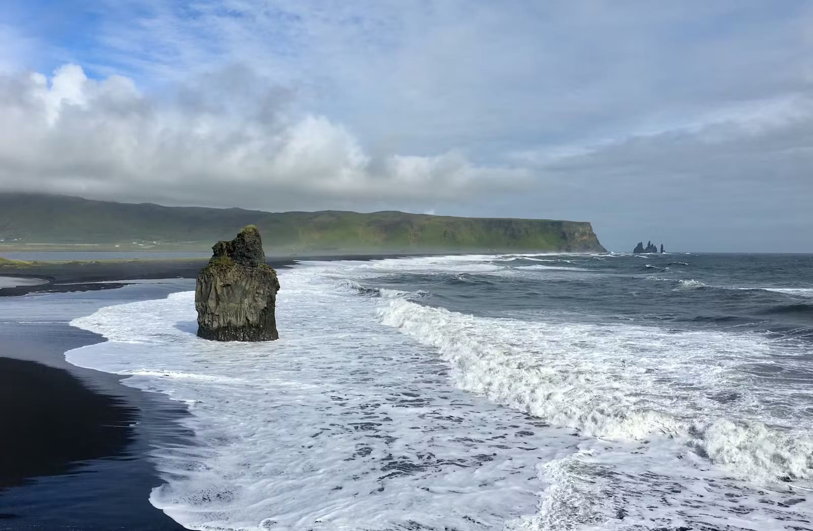
Iceland's Coasts helps travelers understand the island's shoreline as planning context, from black-sand beaches and fjords to harbors, ferries, cliffs, weather exposure, and the specific coastal stops worth choosing.
Area snapshot
Iceland's coasts is a regional planning idea, not one attraction with a car park, ticket desk, or single best viewpoint.
The useful way to read this page is as shoreline context. Iceland is an island, so coast appears again and again: black-sand beaches on the South Coast, lava edges on Reykjanes and Snæfellsnes, fjords in the Westfjords and Eastfjords, fishing harbors, ferry crossings, bird cliffs, and small towns built around weather and sea access.
That does not make "Iceland's coasts" a must-see stop by itself. It is worth attention because coastal choices shape real itineraries. Choose a few named places that fit the day, then check current safety, weather, road, ferry, and access details before relying on them.
The strongest coast days are usually built around one or two specific places, not a loose promise to follow the sea.
On the South Coast, a coastal plan might mean Reynisfjara, Dyrhólaey Lighthouse, Vík, Jökulsárlón, Diamond Beach, or a ferry decision around Heimaey. On Snæfellsnes, it may mean Djúpalónssandur, Arnarstapi, Hellnar, or Breiðafjörður. In the Eastfjords, the coast often becomes a slower fjord-and-village decision rather than a quick beach stop.
The best choice depends on your route pressure. A high viewpoint can be better than walking onto another beach; a harbor town can be better than a rough headland in bad wind; a fjord detour can be worth it only when the road day has enough margin.
Not every coastal place asks for the same time, risk tolerance, or planning checks.
Black-sand beaches reward drama but require wave awareness. Clifftop viewpoints reward visibility and steady wind conditions. Fjords reward slower road days with fewer rushed stops. Harbors and ferry ports are practical as much as scenic, because timing, sea conditions, and services can shape the whole day.
This is why broad coast planning should quickly become specific. A photographer may care about Dyrhólaey or Eastfjords light. A family may prefer a viewpoint, pool town, or harbor walk over loose beach time. A Ring Road driver may need to cut a coast detour when the next overnight stop is still far away.
Coast plans can change quickly because the same forces that make them beautiful also make them exposed.
SafeTravel's black-beach guidance is a good example of the mindset: scenic beaches can have sneaker waves, falling-rock risk, warning lights, and short-notice closures. The practical lesson applies more widely: current local instructions matter more than an old photo, a saved map pin, or a relaxed-looking itinerary.
Once the coast type is clear, switch from broad context to named places that answer the day in front of you.
For South Coast drama, compare Reynisfjara, Dyrhólaey Lighthouse, Vík í Mýrdal, and Heimaey. For West Iceland and Snæfellsnes, compare Djúpalónssandur, Arnarstapi, Hellnar, and Breiðafjörður. For a slower fjord route, look at Borgarfjörður Eystri or Eastfjords village pages rather than adding another random shoreline pin.
Use for Reynisfjara-style wave, warning-light, and closure guidance.
Use for coastal wind and marine-weather context before exposed plans.
Use for road-system context and links to current traffic conditions.
By ThorPublished Updated
Map
Use nearby places and useful bases before opening directions.
Interactive planning map for Iceland's Coasts
Interactive map
Place context and external map links remain available without loading it.
Planning context
Open the region or practical guide that resolves the next planning decision.
Wider route
Use broader place relationships for route comparison; they are not presented as immediate nearby stops.
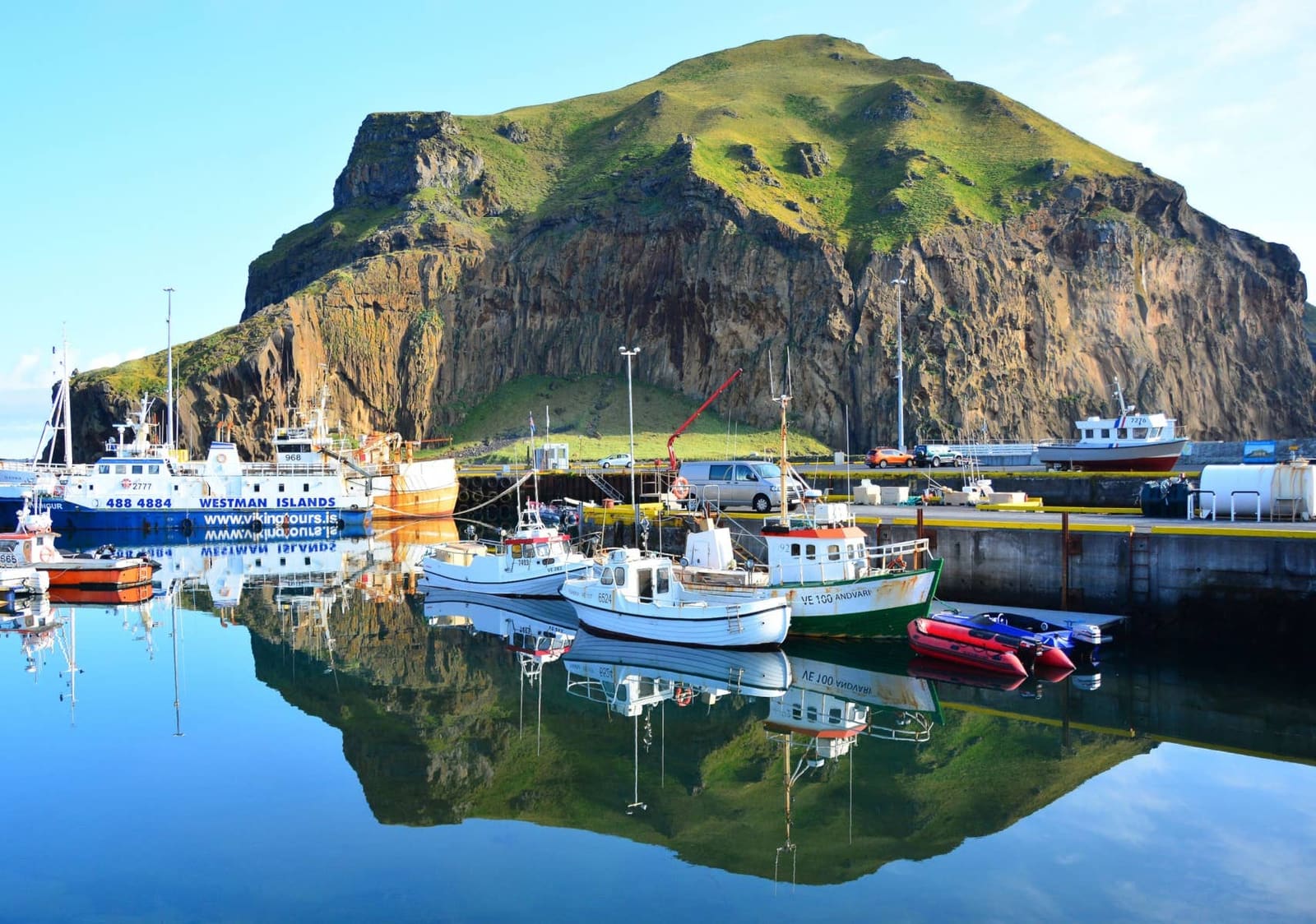
Heimaey is the inhabited Westman Islands base off Iceland's South Coast. The regional visitor site describes a 35-minute ferry crossing from Landeyjahöfn, but the island is worth adding only when the day protects the full ferry, movement, weather, and return commitment.
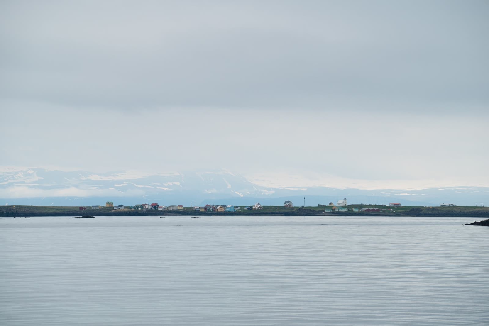
Breiðafjörður is the island-filled bay between Snæfellsnes and the Westfjords, best for travelers deciding whether a ferry crossing, Flatey stop, wildlife cruise, or slower coastal detour belongs in their route.
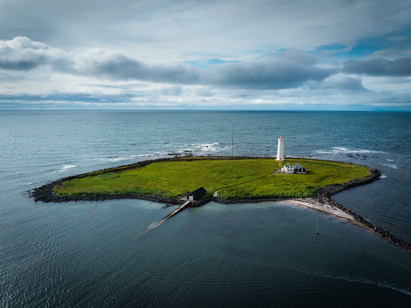
The Capital Region page helps travelers understand greater Reykjavík as a practical base, arrival area, city-stay cluster, and short-stop zone rather than a single attraction to tick off.
