
Coast snapshot
- Type
- Cliff-top coastal headland
- Region
- Húsavík, North Iceland
- Best for
- Bay views and birding
- Time
- About 30 to 75 minutes
- Access
- Town-edge roads and cliff paths
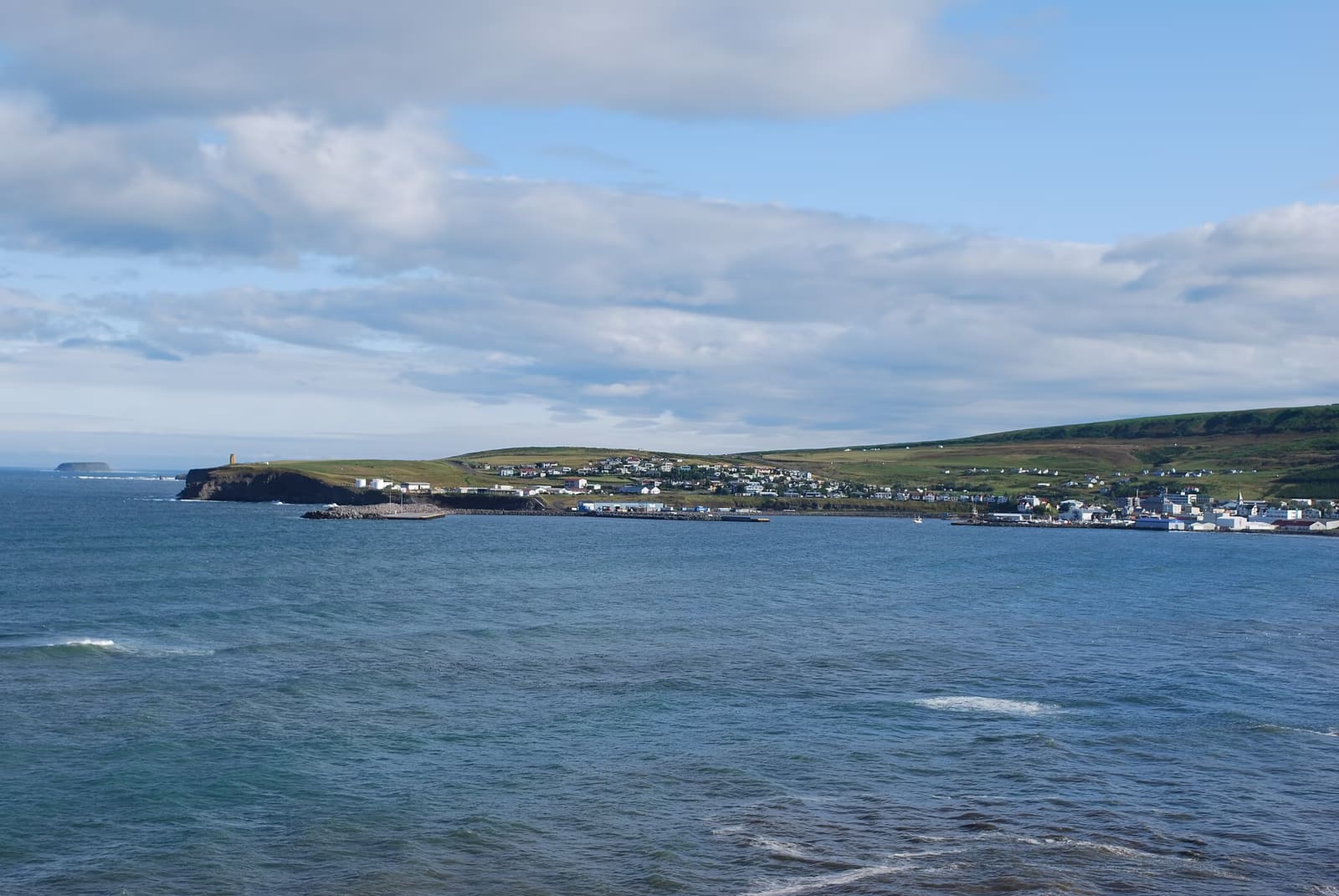
Húsavíkurhöfði is a cliff-edged headland above Húsavík, useful for travelers who want a short coastal walk, Skjálfandi Bay views, birding context, and a simple pairing with GeoSea or the harbor.
Coast snapshot
Húsavíkurhöfði is worth a pause when you are already in Húsavík and want the town to open into cliffs, wind, birds, and Skjálfandi Bay.
This is not the stop that should pull a tight North Iceland route away from its main landscapes. Its value is more local: a land-based coastal edge above Húsavík, close enough to pair with the harbor or GeoSea Geothermal Sea Baths without turning the day into another long drive.
Give it time when the weather is clear enough for the bay and mountains to matter, or when you want a short birding walk before moving inland. Let it go when the day is already trying to carry Lake Mývatn, Goðafoss, and Dettifoss.
The harbor gives Húsavík its working-town feel; the headland gives you height, open air, and a wider sense of Skjálfandi Bay.
From the cliff edge, the town feels smaller and more exposed. Boats, roofs, and the church sit below the slopes, while the bay carries the eye toward Kinnarfjöll and the north-coast horizon.
That shift is the point. You are not looking for a dramatic multi-hour hike here; you are using a short coastal walk to decide whether Húsavík should feel like a town stop, a wildlife base, or a slower North Iceland overnight.
| Use it for | Time to allow | Watch out for |
|---|---|---|
| Fast cliff view | About 30 minutes | Views lose value in fog or hard wind. |
| Birding walk | About 45 to 75 minutes | Sightings vary with season and weather. |
| GeoSea pairing | Flexible add-on | The bath should stay the main timed stop. |
The useful secondary reason to pause is birding: local visitor information points travelers toward the cliff tops near GeoSea and the lighthouse.
Visit Húsavík describes the area above the cliffs by GeoSea as a place for a brisk walk and coastal birdwatching, with fulmars, kittiwakes, gulls, golden plovers, and Arctic terns among the typical birds in the wider area. Keep that as potential, not a promise.
The bay context matters too. Húsavík's wildlife reputation is mostly boat-led, but Húsavíkurhöfði gives land-based travelers a way to feel the same Skjálfandi setting without committing to a whale or puffin tour.
The cleanest plan keeps Húsavíkurhöfði close to Húsavík, then lets larger route decisions happen elsewhere.
The most natural pairing is GeoSea: cliff walk first if you want fresh air, bath first if weather is closing in, or skip the walk when the soak is the real reason for stopping.
For a quieter inland contrast, Botnsvatn changes the mood from sea edge to lake and hillside. For a bigger route day, use the Diamond Circle Road Trip or North Iceland guide to decide whether Húsavík deserves a longer pause.
This is a simple stop, but exposed coastal places still deserve practical checks when wind, winter roads, or visibility matter.
Check local visitor information for access details, then use official road, weather, and safety sources before building a fixed plan around cliff views. The difference between a worthwhile pause and a forgettable one can be visibility, wind, or daylight.
Local birding context around Húsavík, GeoSea, the cliffs, and the bay.
Nearby Húsavík trail and viewpoint context for land-based plans.
Official road-condition checks for North Iceland driving.
Official forecasts and warnings before exposed coastal walks.
By ThorPublished Updated
Map
Use nearby places and useful bases before opening directions.
Interactive planning map for Húsavíkurhöfði Peninsula
Interactive map
Place context and external map links remain available without loading it.
Planning context
Open the region or practical guide that resolves the next planning decision.
