Hafnarberg Sea Cliffs are a Reykjanes bird-cliff walk for travelers who want raw Atlantic coast, lava geology, and a slower stop near Hafnir without pretending it is a quick roadside viewpoint.
Coast snapshot
Type
Lava sea cliffs and birding walk
Region
Reykjanes Peninsula, south of Hafnir
Best for
Birdlife, cliffs, and slow coastal views
Time
About 45–90 minutes for the return walk and a short cliff visit, starting at the signed roadside parking area; an editorial allowance, not a walk from Hafnir.
Access
Marked path from the roadside parking area
In this guide
Is Hafnarberg worth the walk from Hafnir?
Hafnarberg is worth adding when the exposed coast is the reason you are exploring Reykjanes, not when you need one fast stop before a fixed deadline.
The cliffs sit south of the old fishing hamlet of Hafnir, where a marked path leads from the roadside parking area toward a long lava edge above the Atlantic. The reward is not a built viewpoint; it is the feeling of walking out to raw Reykjanes coast.
Choose Hafnarberg when your day already includes Reykjanesviti, Gunnuhver, Bridge Between Continents, or Sandvík. Leave it out when flight timing, spa timing, wind, or low visibility would turn the walk into a rushed box-check.
Photo guide
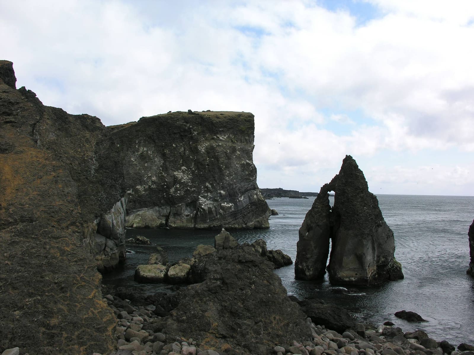
Hafnarberg Sea Cliffs in photos
Nearby southwest Reykjanes coast can look dramatic, but exact stop choice should follow conditions and route timing.
What the Hafnir-side walk asks from you
Expect an open, weather-shaped walk rather than a paved attraction circuit. The path is the transition from road logic to cliff-edge awareness.
Visit Reykjanes describes a bird-sign parking area and about 20–30 minutes walking from there to the cliffs. That is the outward leg. Our 45–90-minute visit allowance includes returning to the same parking area and a short look at the cliffs; add time for birdwatching, slower walking or difficult conditions. It does not start in Hafnir village.
Use the signed Hafnaberg parking and marked path south of Hafnir. The regional place page gives conflicting road numbers (44 in its description and 425 in its road field), so confirm the current approach with local signs and official road information rather than relying on that number alone.
The best reason to stop is the cliff-and-ocean setting, not a long list of built facilities.
Footing and comfort can feel different from the map. Wind, wet rock, loose-looking edges, and poor visibility should decide how close you go and how long you stay.
Bird cliffs, lava layers, and the Reykjanes edge
The stop is strongest when you read it as both a birding site and a volcanic coastline. Neither angle needs overcomplication.
Visit Reykjanes identifies Hafnarberg as a geosite in Reykjanes UNESCO Global Geopark, while regional birding material names fulmars, kittiwakes, guillemots, Brünnich's guillemots, razorbills, and puffins among breeding birds associated with the cliffs.
Exact-area lava textures help explain why the cliff walk feels rough, exposed, and geological rather than manicured.
Bring binoculars if birds matter, and keep expectations flexible. Bird activity changes with season, weather, light, and distance, so the durable value is the habitat and the cliff setting rather than one guaranteed sighting.
The ground around Hafnarberg reinforces the geosite context behind the sea-cliff view.
How Hafnarberg compares with nearby Reykjanes stops
Hafnarberg is the slower coastal choice. Nearby stops give clearer landmarks, geothermal drama, or easier route structure.
Choosing the right Reykjanes stop
If you want
Choose
Why
Bird cliffs and a real walk
Hafnarberg
It rewards time outside, binoculars, and attention to the Atlantic edge.
A lighthouse and coastal landmark
Reykjanesviti
It is a clearer anchor for a southwest Reykjanes day.
Steam and geothermal force
Gunnuhver
It gives a stronger short-stop payoff in rough weather.
Simple plate-boundary symbolism
Bridge Between Continents
It is easier to understand quickly and pairs well with Sandvík.
It belongs to a different kind of day with stricter timing.
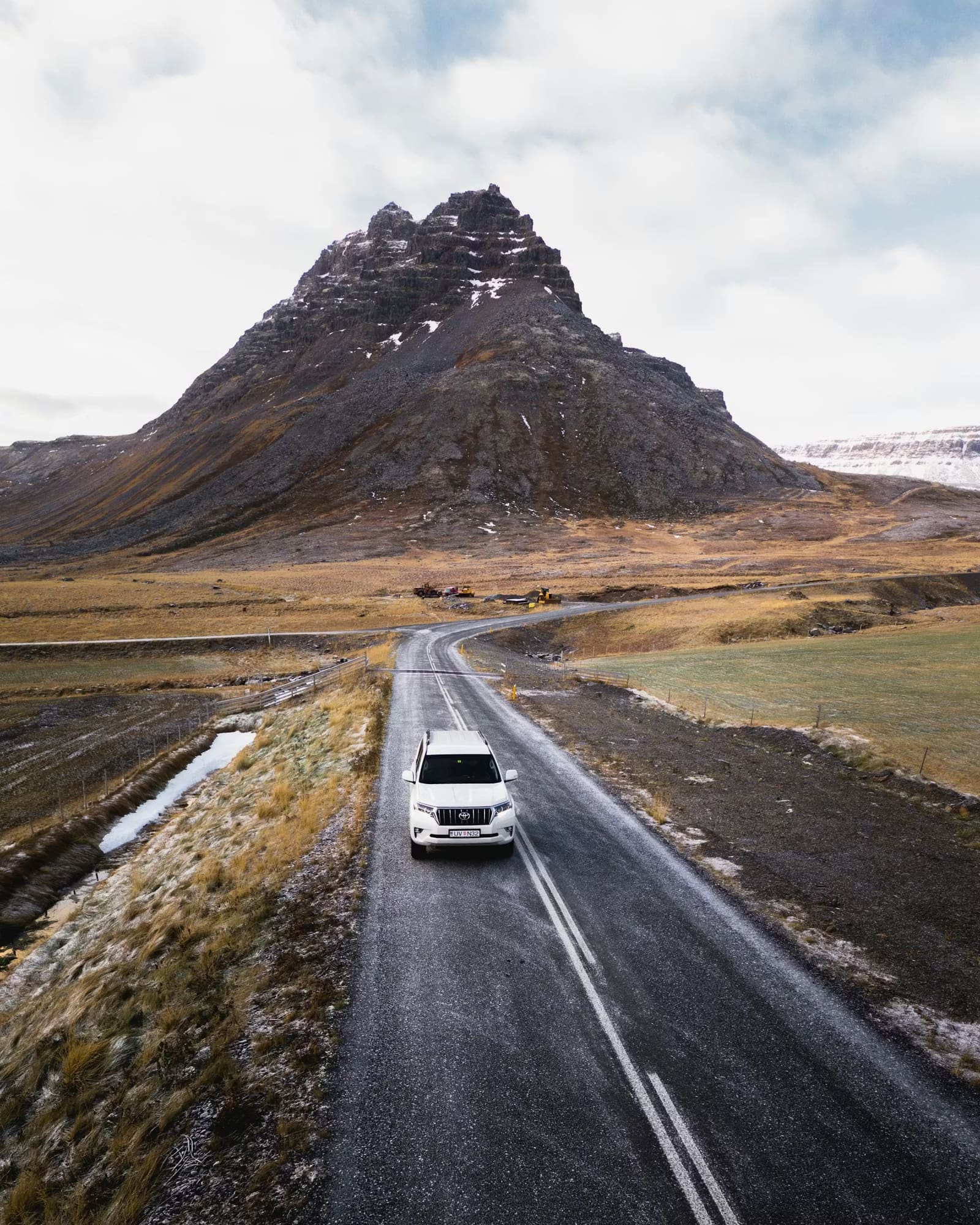
The wider Hafnir area is austere, so Hafnarberg works best for travelers who like rough Reykjanes texture.
For a balanced loop, put Hafnarberg after one stronger anchor rather than making it carry the whole day. The Reykjanes Peninsula Road Trip is the better next step if you are choosing the order of stops.
What to check before committing to the cliffs
The key checks are simple: weather, road conditions, local signs, and whether your route has enough slack for an exposed walk.
Use official weather and road sources before turning Hafnarberg into a fixed plan, especially outside bright, calm sightseeing conditions. Reykjanes can feel easy on a map and still be demanding in wind, low cloud, or winter daylight.
The practical choice is often between Hafnarberg and a simpler nearby anchor. If you have limited time, Reykjanesviti, Gunnuhver, or Blue Lagoon may fit the day better.