Coast snapshot
- Type
- Remote bay and black-sand cove
- Region
- East Iceland, south of Gerpir
- Best for
- 4WD detours and coastal hiking
- Time
- Two hours to half a day
- Access
- Summer 4x4 road or long hike
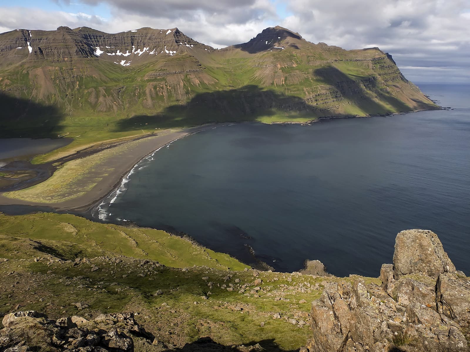
Vöðlavík is a remote Eastfjords bay for travelers who want black sand, abandoned-farm atmosphere, and a real 4WD-or-hiking detour south of Gerpir. It works best when you already have time around Eskifjörður or Reyðarfjörður and want a quieter coastal day.
Coast snapshot
Vöðlavík is worth considering when you want a remote Eastfjords cove with real effort behind it, not when you need an easy extra stop.
The appeal is specific: black sand, a broad empty bay, old farm traces, and the feeling of reaching a coast that most Ring Road travelers never see. It works better as a deliberate detour than as a casual add-on.
If the day is already built around Eskifjörður, Reyðarfjörður, or the harder eastern-edge pull of Gerpir Mountain, Vöðlavík can justify the extra effort. If you mainly want a scenic pause, an easier Eastfjords stop will usually be the better call.
The bay feels open, quiet, and a little exposed rather than dramatic in one single landmark view. The black sand and the mountain wall around the cove do most of the work.
The most useful expectation is not a list of things to do once you arrive. It is a landscape stop for walking, looking, and deciding whether the remoteness itself was the reason to come.
Vöðlavík has more texture than a beach alone because the cove was once farmed and still reads as a lived-in coastal pocket rather than an empty map pin.
Regional visitor information describes Vöðlavík as a deserted bay with a hut at Karlsstaðir and hiking links from the Eskifjörður and Reyðarfjörður side. That old-farm context is what gives the stop more identity than a simple drive-to-the-water viewpoint, but you should still confirm local details before relying on access or hut arrangements.
Vöðlavík becomes a bigger decision when you use it as part of the Gerpisskarð and Sandvík hiking country rather than only as a shore stop.
Visit Austurland uses Vöðlavík as part of a longer trail story, including the route around Gerpisskarð toward Sandvík. That is the clearest sign that this bay belongs to travelers who have route margin, weather flexibility, and some appetite for walking rather than only a wish to tick off another Eastfjords sight.
The bay's exposed setting matters. Public rescue commemoration and local place descriptions both point to a coast where sea, weather, and access deserve more respect than the calm photos suggest.
Several serious seafaring accidents are part of Vöðlavík's identity, and the public rescue commemoration tied to the bay is a useful reminder that this place has real exposure. That does not mean avoiding the stop. It means checking official road conditions, weather, and safety guidance before you commit to the drive or the walk.
By ThorPublished Updated
Do not build the detour around assumed services or fixed timing. Keep the bay optional until access, weather, and route energy line up.
Use for place identity, access context, and hiking-route framing.
Use for remote-road checks before driving in.
Use for wind, visibility, and warnings.
Use for general outdoor safety guidance before remote detours.
Map
Use nearby places and useful bases before opening directions.
Interactive planning map for Vöðlavík Bay
Interactive map
Place context and external map links remain available without loading it.
Planning context
Open the region or practical guide that resolves the next planning decision.
Wider route
Use broader place relationships for route comparison; they are not presented as immediate nearby stops.

Skálanes is a remote Eastfjords nature reserve and field centre beyond Seyðisfjörður, best for travelers who want bird cliffs, coastal scenery, and a research-and-heritage angle without treating it as a quick roadside stop.
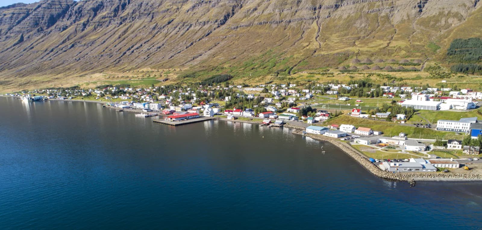
Neskaupstaður is an Eastfjords town at the end of Norðfjörður, useful for travelers who want a mountain-backed harbor, coastal walks, museum context, and a quieter reason to go beyond the main Ring Road line.
Next step
Use the next page that helps turn this stop into a practical route decision.