Coast snapshot
- Type
- Nature reserve and field centre
- Region
- East Iceland, beyond Seyðisfjörður
- Best for
- Bird cliffs, coast, and research context
- Time
- About 2 to 4 hours
- Access
- Rough final approach

Skálanes is a remote Eastfjords nature reserve and field centre beyond Seyðisfjörður, best for travelers who want bird cliffs, coastal scenery, and a research-and-heritage angle without treating it as a quick roadside stop.
Coast snapshot
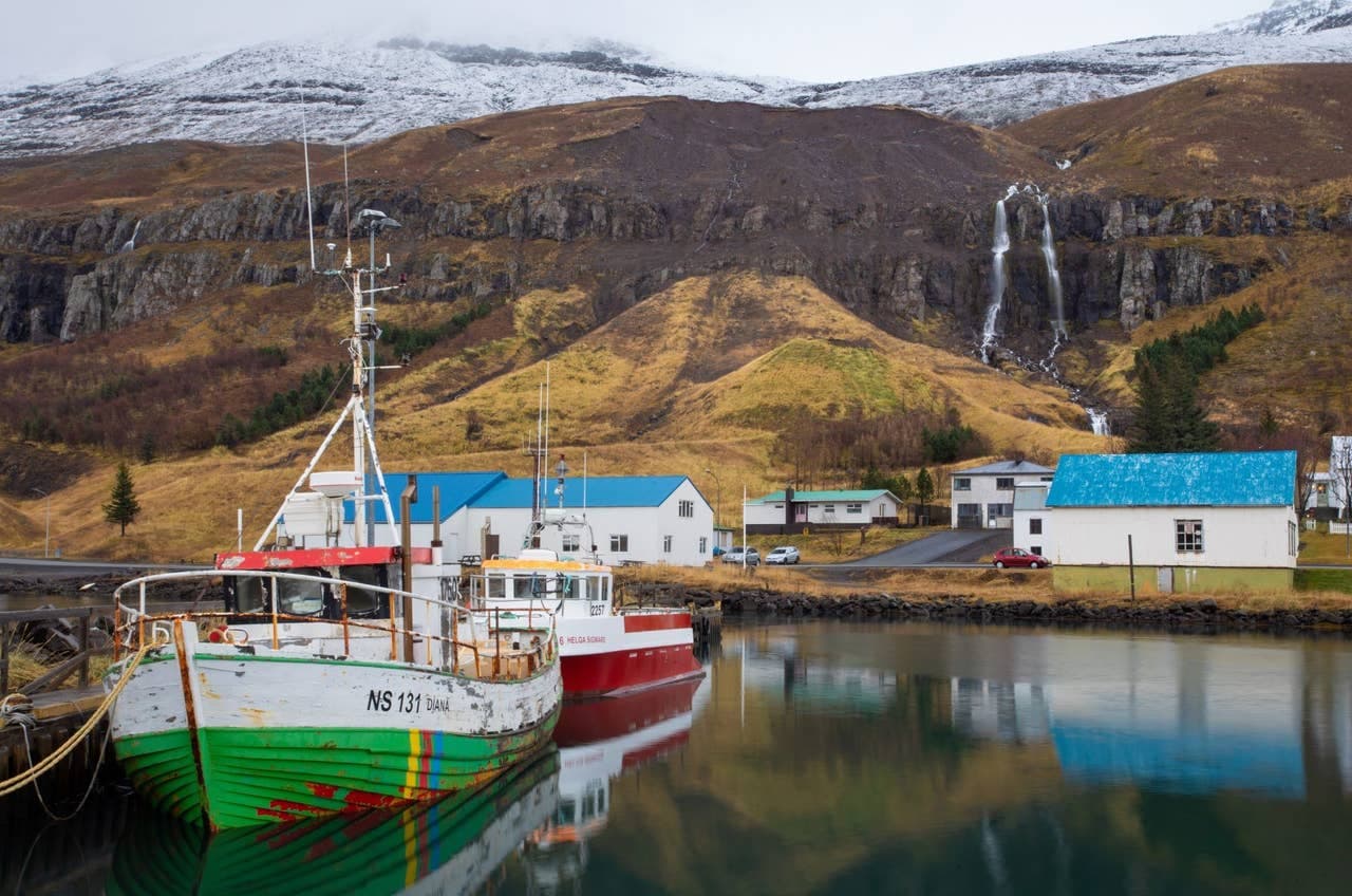
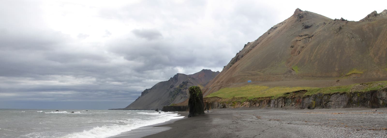
Skálanes is worth adding when Seyðisfjörður is more than a photo stop in your Eastfjords plan. It gives the day a wilder coastal edge: rougher access, bird cliffs, open sea, old farm context, and a field centre shaped around research and conservation.
It is less convincing when you are simply trying to collect one more named place between long drives. The final approach and the visit rhythm ask for time, weather judgement, and a willingness to let the fjord slow the day down.
The attraction is not only the scenery. Skálanes sits inside a large coastal reserve where the official centre frames the landscape as a place for field science, conservation, education, and cultural-landscape work.
That context matters for travelers who like nature with a little interpretation behind it. Bird colonies, grassland, wetlands, old farm traces, shoreline, and high cliffs feel connected here instead of appearing as separate photo subjects.
Plan Skálanes as a half-day idea from Seyðisfjörður if you want the reserve to feel worthwhile. A short look can work, but the place makes more sense when you can walk, pause, watch the coast, and return without hurrying.
The final approach is the part that should decide the visit on the day. Public sources describe Skálanes beyond Seyðisfjörður, and traveler reports consistently treat the last stretch as a rougher, slower road rather than a normal paved attraction approach.
Use official road, weather, safety, and visitor information before you commit. If the road, vehicle, visibility, wind, or daylight does not feel right, Skálanes is easy to replace with Seyðisfjörður town time, Gufufoss, or a shorter fjord walk.
The cleanest route planning is simple: start with Seyðisfjörður, then decide whether the day has enough space for Skálanes. Gufufoss is the easiest scenic pairing on the approach to town, while Egilsstaðir is the practical inland base.
Stórurð belongs to a different kind of East Iceland day because it asks for a real hike. Keep it as a comparison point rather than stacking it automatically with Skálanes.
By ThorPublished Updated
Check Visit Austurland for current visitor context, then use Iceland road, weather, and safety sources for the drive and outdoor conditions. Facilities, access, and visit shape can depend on season, staffing, weather, and maintenance.
Use for regional place context and nearby Seyðisfjörður links.
Check current road conditions before the remote drive beyond Seyðisfjörður.
Use before remote driving or outdoor plans in changing conditions.
Map
Use nearby places and useful bases before opening directions.
Interactive planning map for Skálanes Nature and Heritage Center
Interactive map
Place context and external map links remain available without loading it.
Routes and itineraries
Compare road trips and itineraries that give this place a sensible position in the wider journey.
Planning context
Open the region or practical guide that resolves the next planning decision.
Next step
Use the next page that helps turn this stop into a practical route decision.