Coast snapshot
- Type
- Remote cape and mountain
- Region
- East Iceland, near Vöðlavík
- Best for
- Hiking, cliffs, and solitude
- Time
- Half-day to full-day hiking
- Access
- Remote roads and marked trails
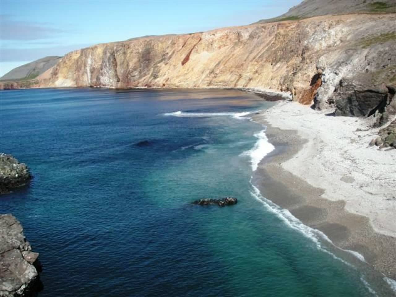
Gerpir is a remote Eastfjords cape and mountain area for travelers who want Iceland's eastern edge, old sea cliffs, and Vöðlavík hiking context without treating it as a quick Ring Road viewpoint.
Coast snapshot
Gerpir is worth considering when the point of the day is remote Eastfjords coast, not when you are trying to save time between larger stops.
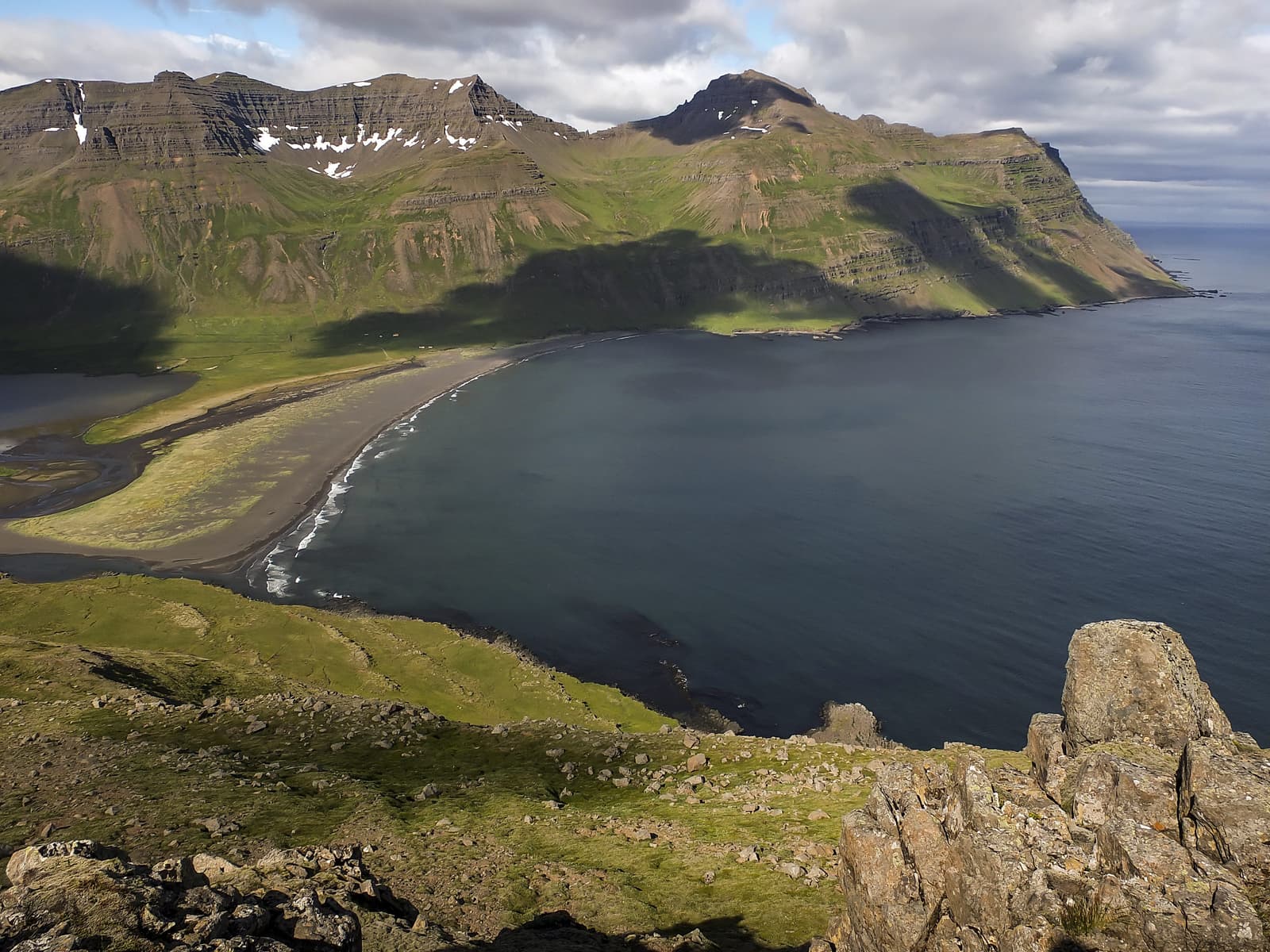
The draw is specific: a steep cape and mountain area at Iceland's eastern edge, with old sea cliffs, open water, and hiking routes tied to Vöðlavík and Sandvík. It has a stronger pull for confident walkers than for travelers who only want an easy viewpoint.
If your Eastfjords plan is already centered on Seyðisfjörður, Neskaupstaður, or the quieter fjords between them, Gerpir can give the route a real wilderness edge. If the day is mostly Ring Road mileage, choose a simpler stop.
Photo guide
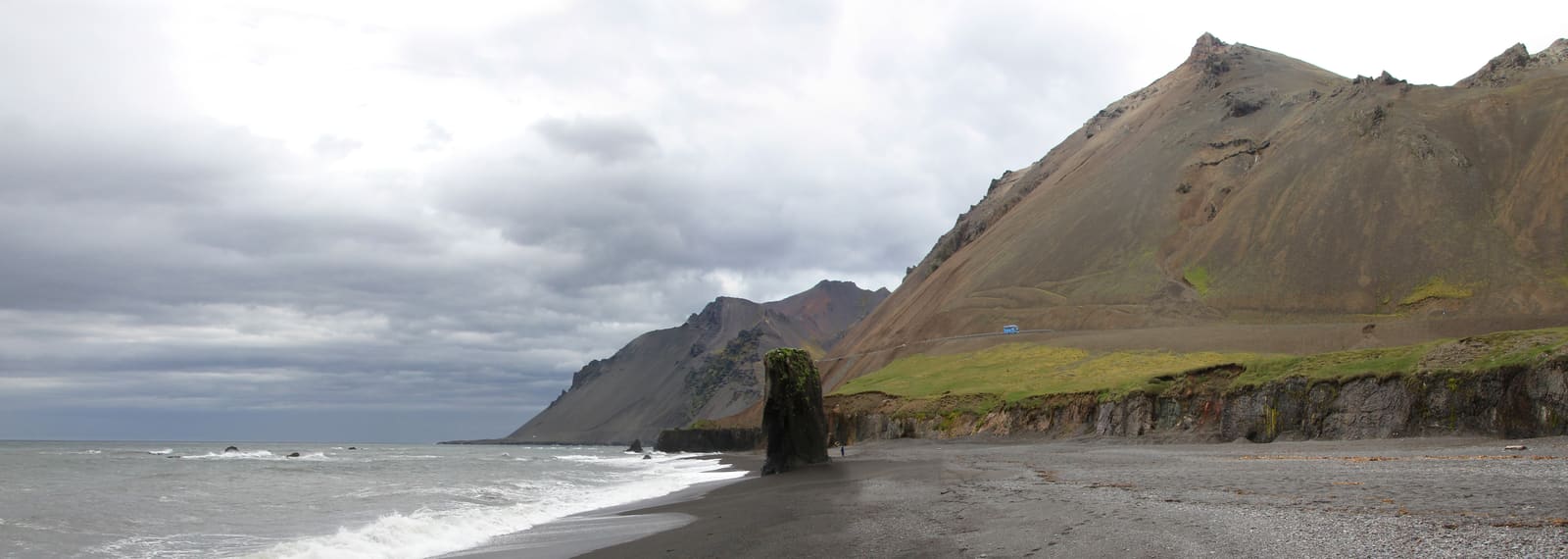
The misty ridge image is useful context, but the page does not rely on it as the main hero.
Vöðlavík changes Gerpir from a map point into a physical visit. The cove, old farm landscape, and hiking access make the area feel more like a remote coastal route than a single summit target.
Regional visitor information describes Vöðlavík as a deserted cove south of Gerpir and connects it with marked hiking routes from the Eskifjörður and Reyðarfjörður side. That is the most useful way to think about the visit: plan the approach, the walking, and the return together.
Do not judge Gerpir by straight-line distance on a map. The useful sources frame this as hiking country, with marked routes, steep terrain, and a route around Gerpisskarð that can take several hours.
Visit Austurland describes the Vöðlavík-to-Sandvík route around Gerpisskarð as about a five-hour walk, reaching roughly 700 meters. Use that as a seriousness signal rather than a promise for your exact pace.
Gerpir fits best when you are already giving the eastern fjords time. It is less persuasive as a standalone detour from a tight loop around Iceland.
Use Seyðisfjörður for a more accessible fjord-town day, Neskaupstaður for the Norðfjörður side, and Eskifjörður or Loðmundarfjörður when you are comparing quieter Eastfjords routes.
If you want an easier nature-and-research angle from Seyðisfjörður, Skálanes Nature and Heritage Center may be the cleaner choice. If you want another mountain comparison, Holmatindur Mountain keeps you closer to Eskifjörður.
Before committing, check official road conditions, weather, safety guidance, and regional visitor information. Remote Eastfjords plans should stay flexible when roads, wind, cloud, daylight, or group energy change.
Do not build the day around fixed facilities or exact access assumptions. Make Gerpir the plan only when your vehicle, hiking ability, timing, and weather margin match the route you intend to use.
Use for regional place context and Gerpir-area hiking-map guidance.
Use for Vöðlavík, Sandvík, route, and access context.
Use before remote East Iceland driving.
Use before weather-sensitive hiking plans.
By ThorPublished Updated
Map
Use nearby places and useful bases before opening directions.
Interactive planning map for Gerpir Mountain
Interactive map
Place context and external map links remain available without loading it.
Nearby coast
Use nearby places to balance scenery, safety, wildlife seasons, and how much time the coast deserves.
Planning context
Open the region or practical guide that resolves the next planning decision.
After Gerpir
Compare Gerpir with easier fjord bases before committing a full hiking day to Vöðlavík and Sandvík.