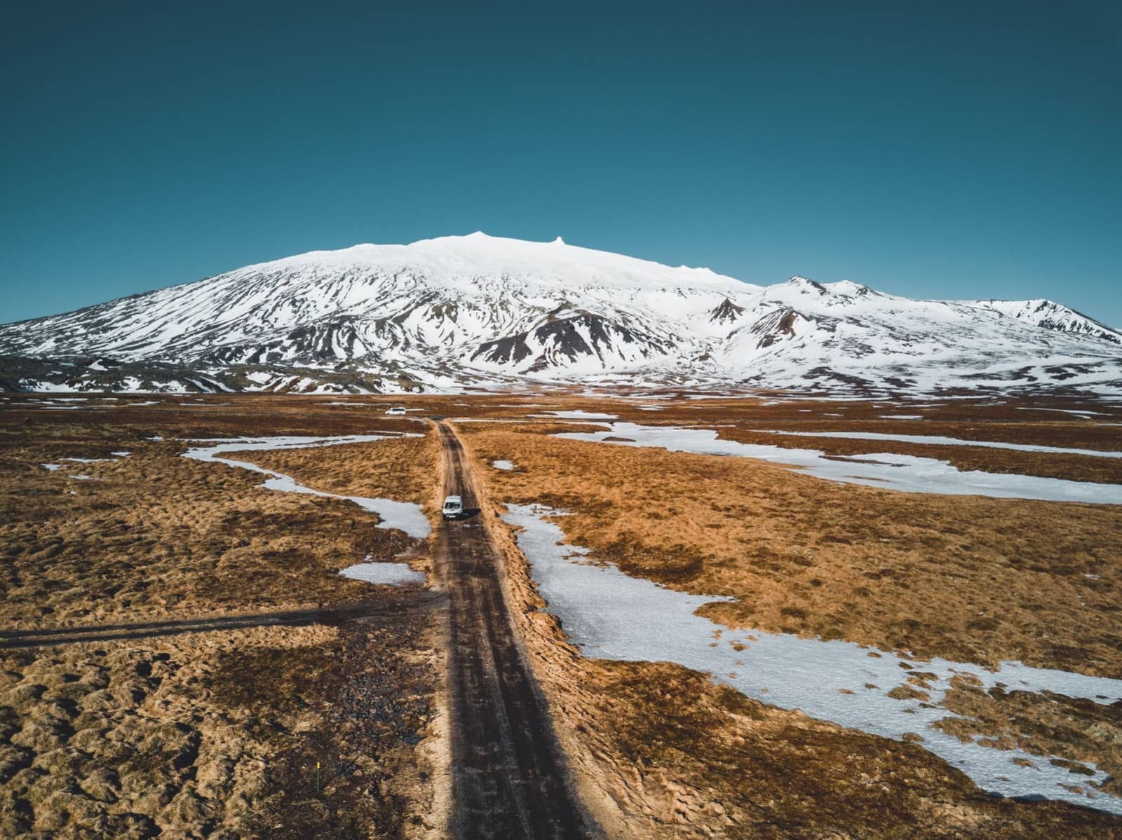
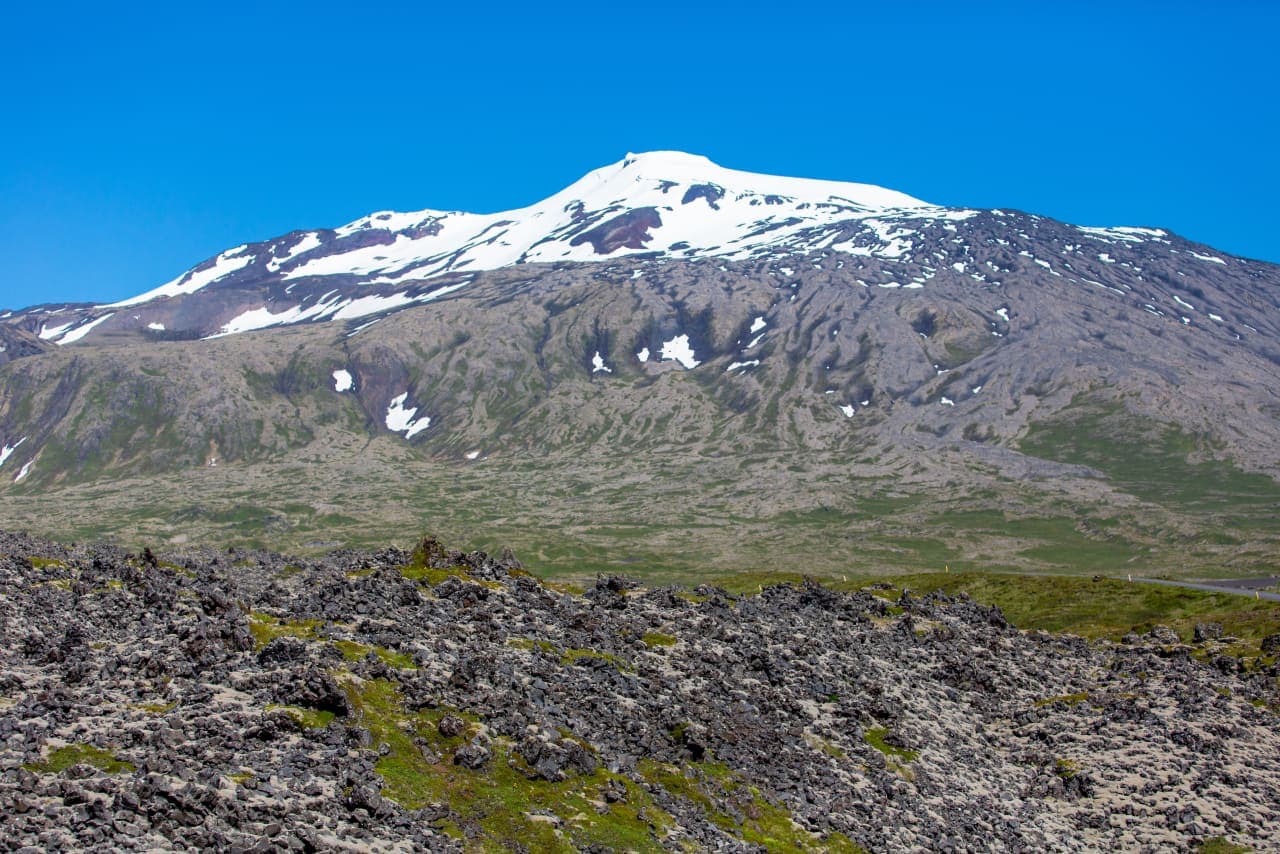
Snæfellsjökull National Park protects a landscape stretching from a glacier-capped volcano to the Atlantic shore. Craters, lava fields, pale and dark beaches, seabird cliffs and former fishing stations make the western tip of Snæfellsnes unusually varied.
Area snapshot
Established
June 28, 2001
Area
183 km², from the mountain to the coast
Location
Western Snæfellsnes Peninsula
Time to allow
Several hours for selected stops; most of a day for walks and visitor centers
Parking payment
One national-park service payment remains valid across the park until midnight
In this guide
From the glacier to the Atlantic shore
Established on June 28, 2001, the national park covers 183 km² at the western end of Snæfellsnes.
Volcanic activity, ice and the sea have shaped the landscape. The glacier-capped Snæfellsjökull rises above lava fields, while the coast holds craters, caves, cliffs and beaches. Old fishing sites add a human history to the geological scenery.
The wider Snæfellsnes Peninsula includes towns and landmarks outside the protected area. The national park is the western part of that journey, with several distinct places to visit rather than one entrance and viewpoint.
A first visit can combine a coastal viewpoint, a crater and a former fishing beach.
Lóndrangar is known for its tall coastal rock towers. Nearby Malarrif has a visitor center and lighthouse setting. Saxhóll gives a different perspective across the lava fields; check wind and surface conditions before climbing.
Lóndrangar’s towers rise from the park’s southern coastline. Keep away from exposed cliff edges.Saxhóll offers a compact view of the crater and surrounding lava landscape.
Djúpalónssandur has dark stones, lava formations and fishing-station history. Keep well clear of the water: this is an exposed Atlantic shore, and a calm-looking moment does not make it a swimming beach.
Djúpalónssandur combines coastal scenery with the remains of a former fishing station.
Vatnshellir Cave has controlled access. Check its current visitor requirements separately rather than assuming every park site is an open walk-in stop.
Coastal walks and visitor centers
Short walks still need suitable footwear and attention to wind, waves and uneven ground.
Skarðsvík has pale sand framed by dark rock. Elsewhere, lava paths and stone-covered shores can slow progress. Keep to marked routes, give nesting birds space and follow local signs around cliffs and beaches.
Skarðsvík adds a pale-sand contrast to the peninsula’s darker beaches.
The park center at Hellissandur and the Malarrif visitor center are useful places to ask about the landscape, paths and current access. Their hours can vary. A cloudy glacier view can still leave good lowland options, provided road and coastal conditions are suitable.
The map on this page points to the Malarrif visitor center on the south coast of the park. Hellissandur has a separate park center on the north side. Follow the signed access for each stop; neither visitor center is a glacier trailhead.
The glacier itself is a separate undertaking. Crevasses, visibility and mountain weather require appropriate expertise and equipment. A visitor-center map point does not establish access onto the glacier.
The park collects its service fee through parking payment. One payment covers the national park until midnight on that day.
The charge depends on vehicle category. Check the current tariff and enter the correct registration details. Payment is available through Parka or the QR codes displayed at parking areas; the park also lists a payment kiosk at Malarrif.
The fee supports services including ranger work, toilets and waste management. It does not confirm that every road, path or facility is open. Follow current signs and check the park’s notice before paying again at another stop.
Allow several hours for a few stops, or most of a day if you want longer walks and visitor-center time. Walking pace, conditions and the stops you choose will affect the time needed.
The Snæfellsnes road-trip guide helps put the park alongside Arnarstapi and Kirkjufell, which are outside the park. Those stops add driving and walking time even when they look close on a peninsula map.
Arnarstapi is a nearby peninsula stop outside the national park.Nearby coastal settlements provide places to pause during a peninsula day.
Choose the places that interest you most before leaving and keep some time free for changing visibility or wind. A short visit to a few sites can be satisfying; an overnight on the peninsula gives more room for the coast and surrounding West Iceland landscapes.
Follow marked coastal paths and keep back from edges; the position shown is not recommended.