Waterfall facts
- Type
- Remote fjord and side road
- Region
- East Iceland, near Egilsstaðir
- Best for
- Slow Eastfjords self-drives
- Time
- Two hours to half a day
- Access
- Road 953 is weather-sensitive
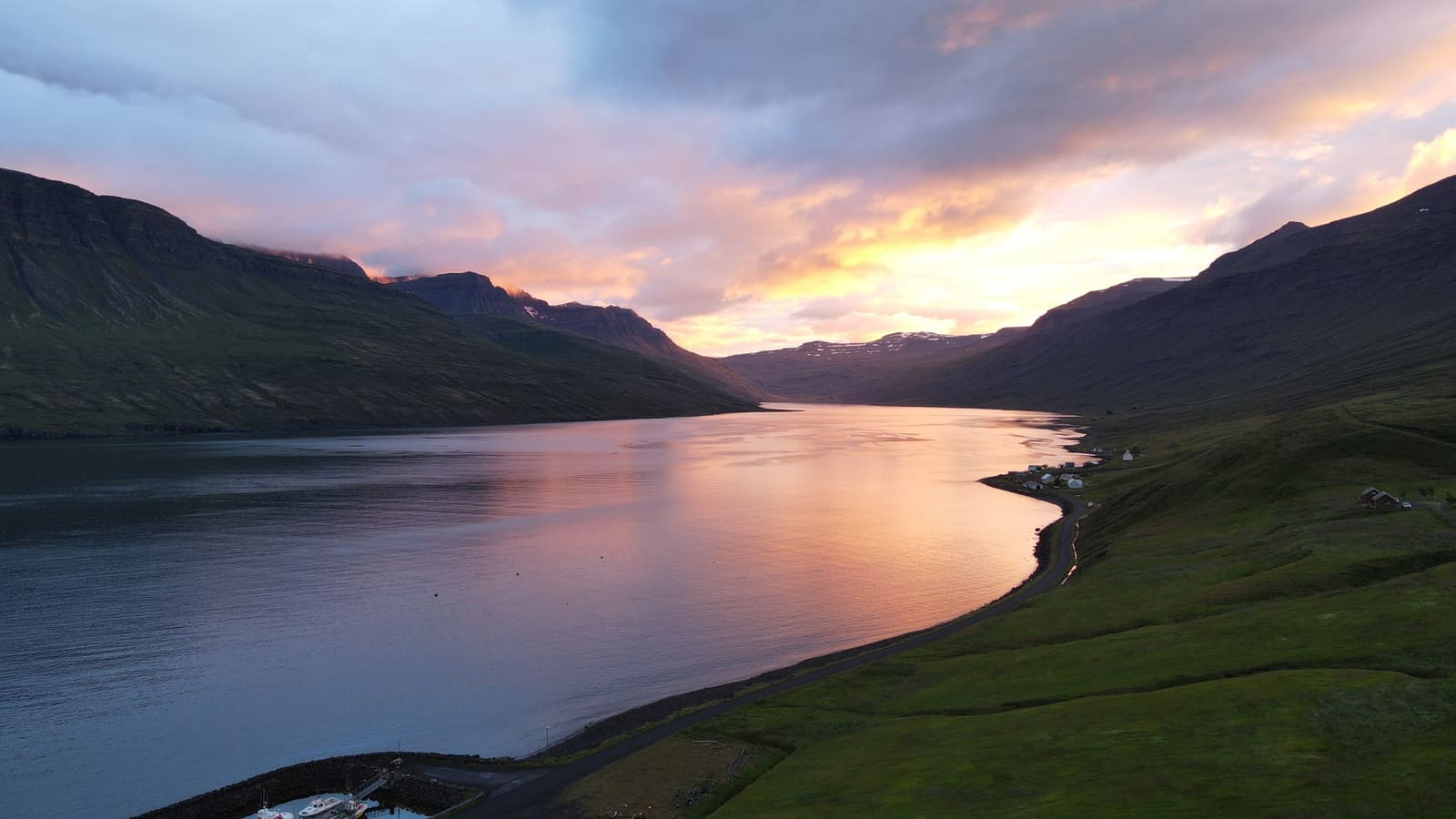
Mjóifjörður Fjord helps East Iceland travelers decide whether the remote Road 953 side trip is worth the time, with guidance on Klifbrekkufossar, Brekkuþorp, Dalatangi, nearby pairings, and road-weather checks.
Waterfall facts
Yes, when your East Iceland plan has room for a slower, exposed fjord road rather than only a quick transfer between overnight bases.
Mjóifjörður is the kind of Eastfjords stop that asks for intention. The reward is not one parking-lot viewpoint; it is the descent toward a narrow fjord, the stepped fall of Klifbrekkufossar, the tiny settlement at Brekkuþorp, and the feeling that the road keeps pulling you farther from the main route.
Choose it when you can give the side trip real time and still keep your wider East Iceland plan comfortable. If the day already depends on a long drive from the south coast toward the north, Seyðisfjörður or Egilsstaðir will usually be easier anchors.
The approach is part of the attraction. Road 953 turns the fjord into a decision before you reach the waterline.
From the Ring Road side, the drive drops through mountain scenery toward a fjord that feels narrower and more enclosed than the easier Eastfjords stops. That descent is why the visit feels different from a normal roadside waterfall pause.
The road context also changes the planning logic. Mjóifjörður fits best when you can slow down, turn around without pressure if conditions are poor, and avoid stacking too many other East Iceland goals into the same day.
The fjord becomes more useful when you think of it as a sequence of small, concrete places rather than one viewpoint.
Klifbrekkufossar gives the drive its most obvious natural marker, with tiers of water stepping down near the inner fjord. Farther along, Brekkuþorp adds the human scale: a tiny settlement, a small church, shoreline details, and the sense of a place that has lived with isolation rather than simply being scenic.
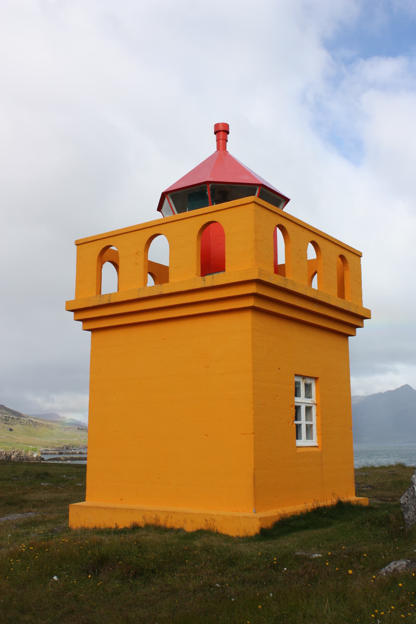
If time, weather, and road conditions support it, Dalatangi adds the outer-fjord edge: lighthouses, headland views, and a more exposed finish to the drive. Keep it as a flexible extension, because the value depends on visibility and road comfort.
This secondary texture matters. Without Brekkuþorp, the church, the shoreline relics, and Dalatangi, Mjóifjörður can look like another pretty fjord. With them, it becomes a compact story of waterfalls, settlement, coastal work, and remote East Iceland geography.
The right choice depends on whether you want ease, one strong town, or a more remote fjord-road experience.
| Option | Best use | Tradeoff |
|---|---|---|
| Mjóifjörður | Remote fjord road, waterfalls, tiny village, Dalatangi extension | Needs time, road confidence, and flexible weather judgement |
| Seyðisfjörður | Stronger single town detour with harbor, color, and services | More popular and less isolated in feel |
| Egilsstaðir | Practical base for East Iceland routes and services | Less of a fjord-attraction experience |
| Loðmundarfjörður | Remote-fjord interest for travelers going deeper into the region | Even more niche for most first visits |
If this is your first East Iceland pass, use the broader Eastfjords guide to decide how much fjord-road time your trip can absorb. Hikers and repeat visitors may also compare Mjóifjörður with Stórurð or Hengifoss, which solve different East Iceland goals.
A quick look can work, but the fjord becomes more convincing when you are not measuring every stop by the minute.
Allow a couple of hours if the goal is mainly the descent, Klifbrekkufossar, and a short look around the inner fjord. Give it a half day if you want Brekkuþorp, shoreline pauses, and a weather-dependent push toward Dalatangi.
The effort is mostly driving judgement rather than hiking difficulty. The experience can feel calm and simple in good conditions, but it is still a remote side road where wind, fog, surface conditions, and daylight should affect the plan.
Mjóifjörður is exactly the sort of place where durable planning beats fixed assumptions.
Before building a tight day around the fjord, check official road conditions, weather forecasts, travel-condition guidance, and local visitor information. Treat facilities, road comfort, and any longer extension toward Dalatangi as details to confirm close to the visit.
Use for the main visitor stops around Mjóifjörður.
Use for local context around Brekkuþorp, Dalatangi, and fjord features.
Check before relying on Road 953 or exposed East Iceland driving.
Use forecast and warning information before remote fjord drives.
By ThorPublished Updated
Map
Use nearby places and useful bases before opening directions.
Interactive planning map for Mjóifjörður Fjord
Interactive map
Place context and external map links remain available without loading it.
Planning context
Open the region or practical guide that resolves the next planning decision.
Wider route
Use broader place relationships for route comparison; they are not presented as immediate nearby stops.