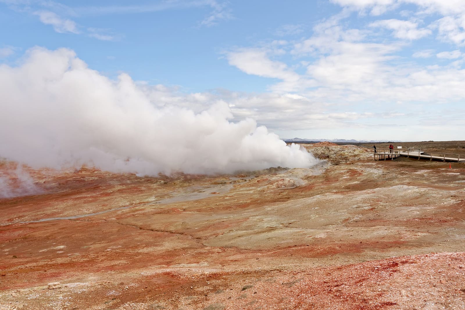
Town snapshot
- Type
- Keflavík-side heath context
- Region
- Reykjanes Peninsula
- Best for
- Understanding KEF-area geography
- Role
- Context, not sightseeing
- Nearby
- KEF, Keflavík, Sandgerði
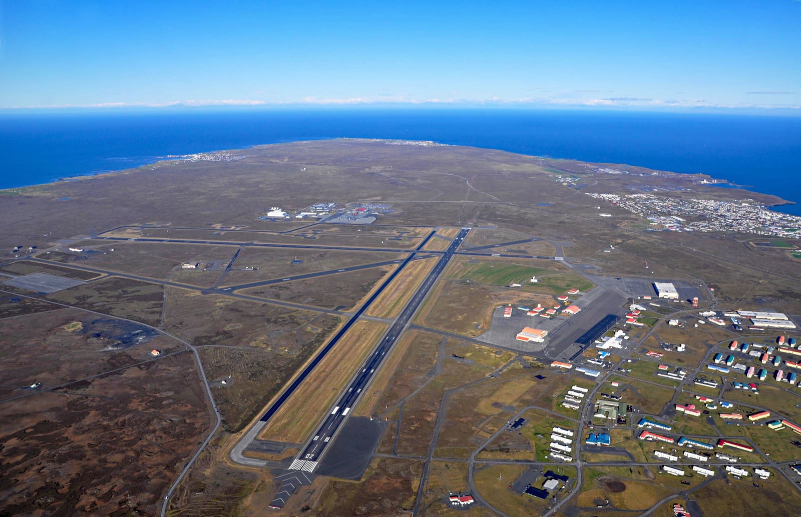
Miðnesheiði helps travelers understand the Keflavík-side Reykjanes heath behind Ásbrú, radar references, and nearby roads, without mistaking the landscape for a normal sightseeing stop or a public attraction.
Town snapshot
Miðnesheiði is best understood as the exposed heath around Iceland's main airport area, not as a classic attraction with a single obvious stop.
Most travelers meet Miðnesheiði indirectly: landing at Keflavík International Airport, collecting a rental car, driving toward Keflavík, seeing the name on a map, or reading about radar and former base history around the airport side of Reykjanes.
The honest decision is simple: learn the name if it helps you orient yourself, but do not build precious trip time around the heath itself. If you have extra time before or after a flight, a public town, museum, lighthouse, geothermal area, or signposted Reykjanes stop will usually be more useful.
The name carries more infrastructure and history than scenery, which is exactly why it can confuse visitors.
Keflavík Airport makes Miðnesheiði relevant to almost every international visitor, but that does not make the surrounding heath a visitor attraction. Airport services, security areas, operational roads, and transport details belong to official airport information, not a casual detour.
There is also a defence and aviation layer. The Icelandic Coast Guard names Miðnesheiði among the locations of Iceland's radar stations, while the Icelandic Meteorological Office has described a weather radar on Miðnesheiði close to Keflavík Airport. Those facts explain why the name appears in infrastructure contexts, but they do not create a public sightseeing route.
Ásbrú adds another layer nearby. Kadeco describes it as a former military-base area next to the Keflavík Airport fence and part of Reykjanesbær. That makes the area interesting for local context, but visitors should still stick to public roads, neighborhoods, services, and signed places rather than trying to interpret fenced or operational land on their own.
Miðnesheiði sits in the practical travel zone between the airport, Reykjanesbær, Sandgerði, Garður, and the western peninsula.
For trip planning, the better question is not whether to stop on Miðnesheiði. It is whether your airport-side time should become a short public stop in Keflavík, Sandgerði, Bridge Between Continents, or a wider Reykjanes Geopark loop.
If your route heads north or west from the airport, the area can help explain the low, open, windy feel of this part of Reykjanes. That context is valuable, but it should stay proportional. A short drive to a real public stop is more rewarding than trying to turn every map label into a destination.
| Need | Better focus | Why |
|---|---|---|
| Flight-day buffer | Keflavík or airport services | Easier timing, food, museums, and transport checks. |
| Western coast pause | Sandgerði or Garðskagi | Public town and lighthouse context beats an unsigned heath stop. |
| Geology context | Bridge Between Continents | A signposted stop makes Reykjanes geology easier to read. |
Because this is a practical airport-area landscape, same-day checks matter more than fixed sightseeing advice.
Check Keflavík Airport for flight, service, parking, transfer, and rental-car details. Check road and weather information before relying on a tight airport-to-Reykjanes plan, especially in wind, poor visibility, winter weather, or periods of regional disruption.
If you keep those checks in place, Miðnesheiði becomes useful rather than frustrating: it explains the airport-side geography, then points you toward public places that actually reward a stop.
By ThorPublished Updated
Map
Use nearby places and useful bases before opening directions.
Interactive planning map for Miðnesheiði
Interactive map
Place context and external map links remain available without loading it.
Planning context
Open the region or practical guide that resolves the next planning decision.
Wider route
Use broader place relationships for route comparison; they are not presented as immediate nearby stops.
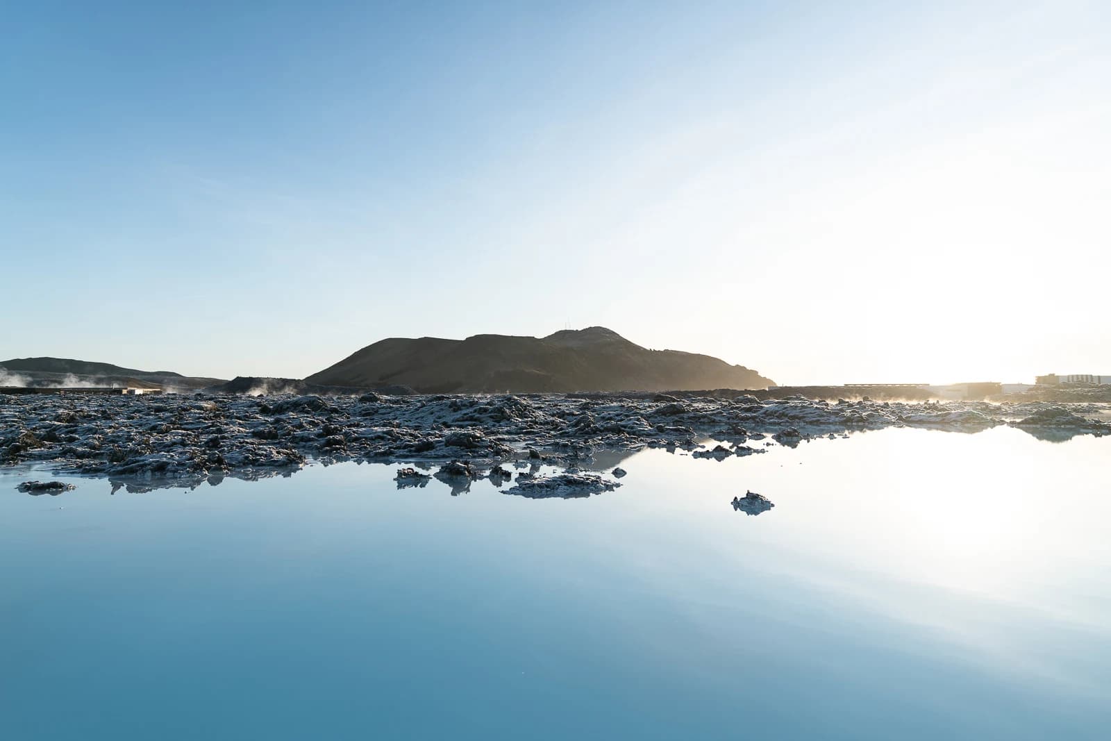
The Blue Lagoon is a booked geothermal seawater spa in the Reykjanes lava fields, with warm mineral-rich water, full changing facilities and access that can change during volcanic unrest.
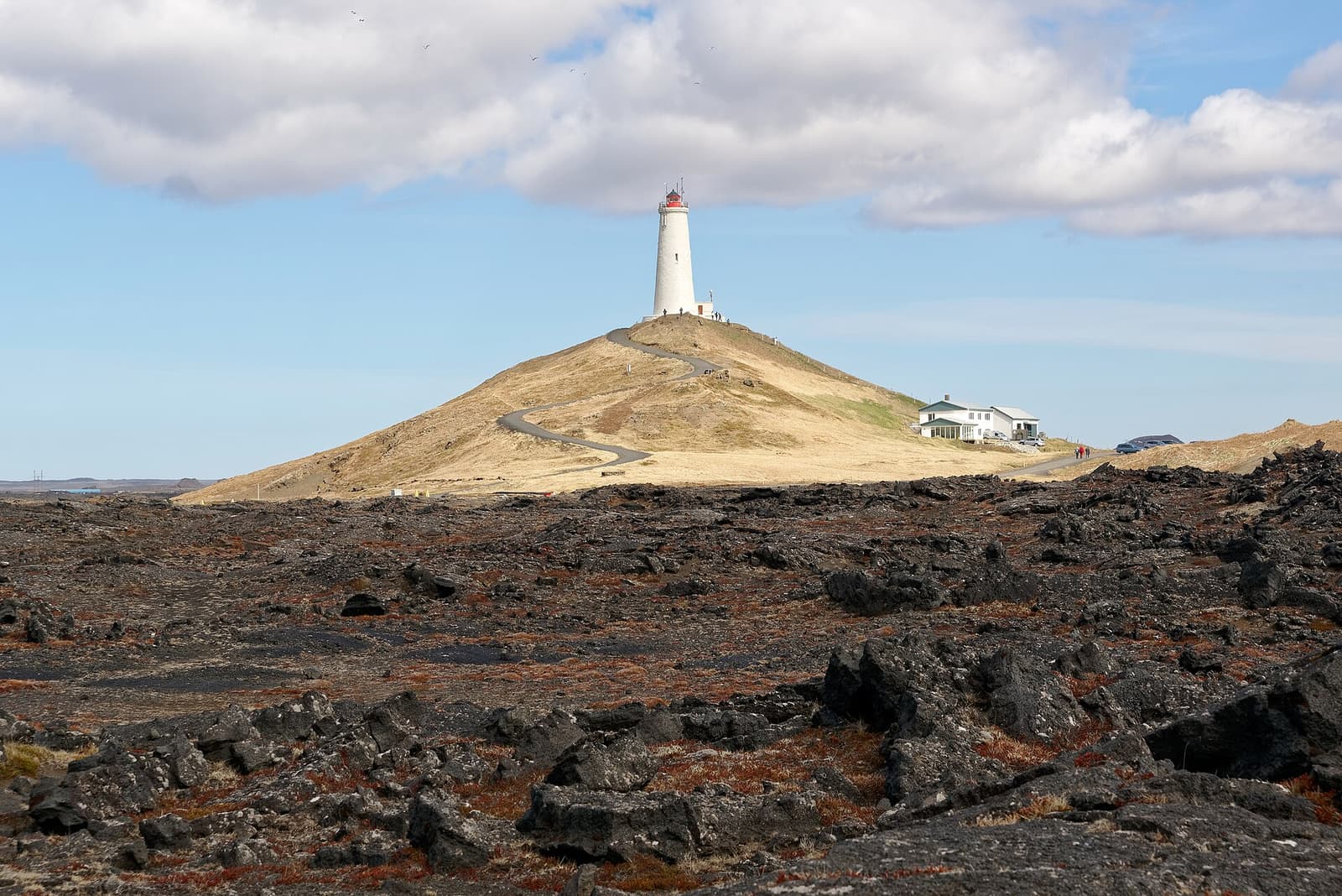
Reykjanesviti is a lighthouse stop at the edge of Reykjanes, useful when Gunnuhver, cliffs, waves, and peninsula driving conditions already shape the day, with enough flexibility for conditions and nearby route choices.
Next step
Use the next page that helps turn this stop into a practical route decision.