Coast snapshot
- Type
- Fjord, town base, and destination area
- Region
- Southeast Iceland, planned with East Iceland
- Best for
- Slower Höfn-based Ring Road days
- Time
- Half day to overnight base
- Nearby
- Höfn, Vestrahorn, Hoffell, and Ósland
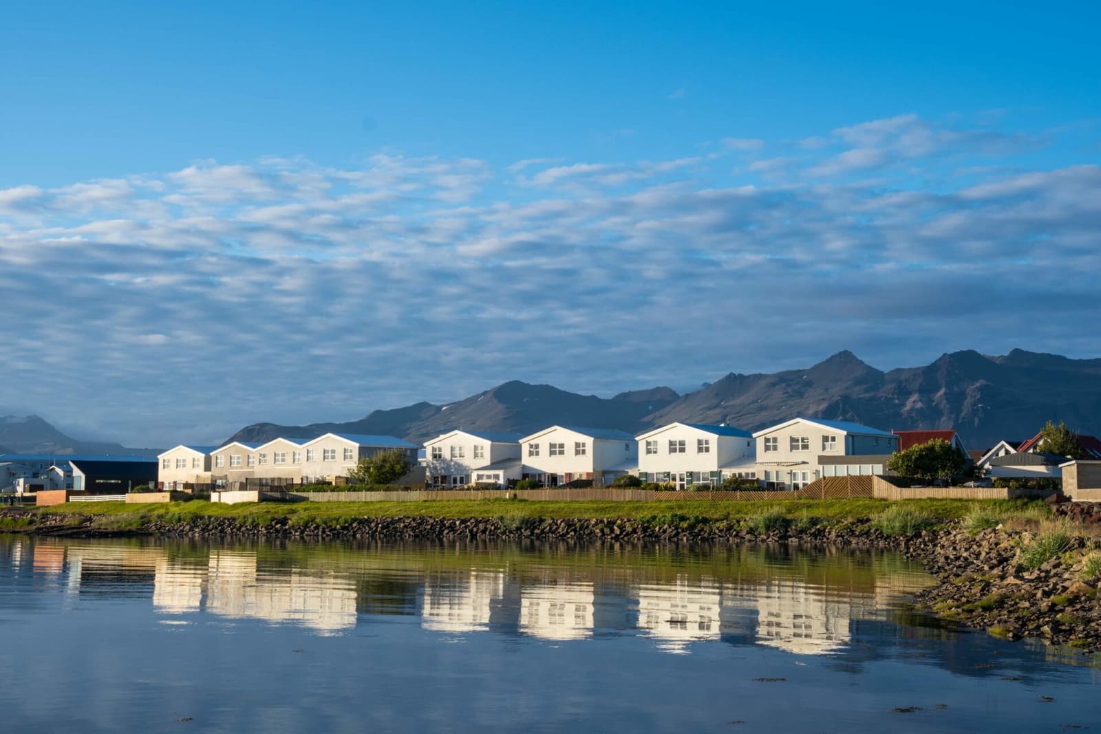
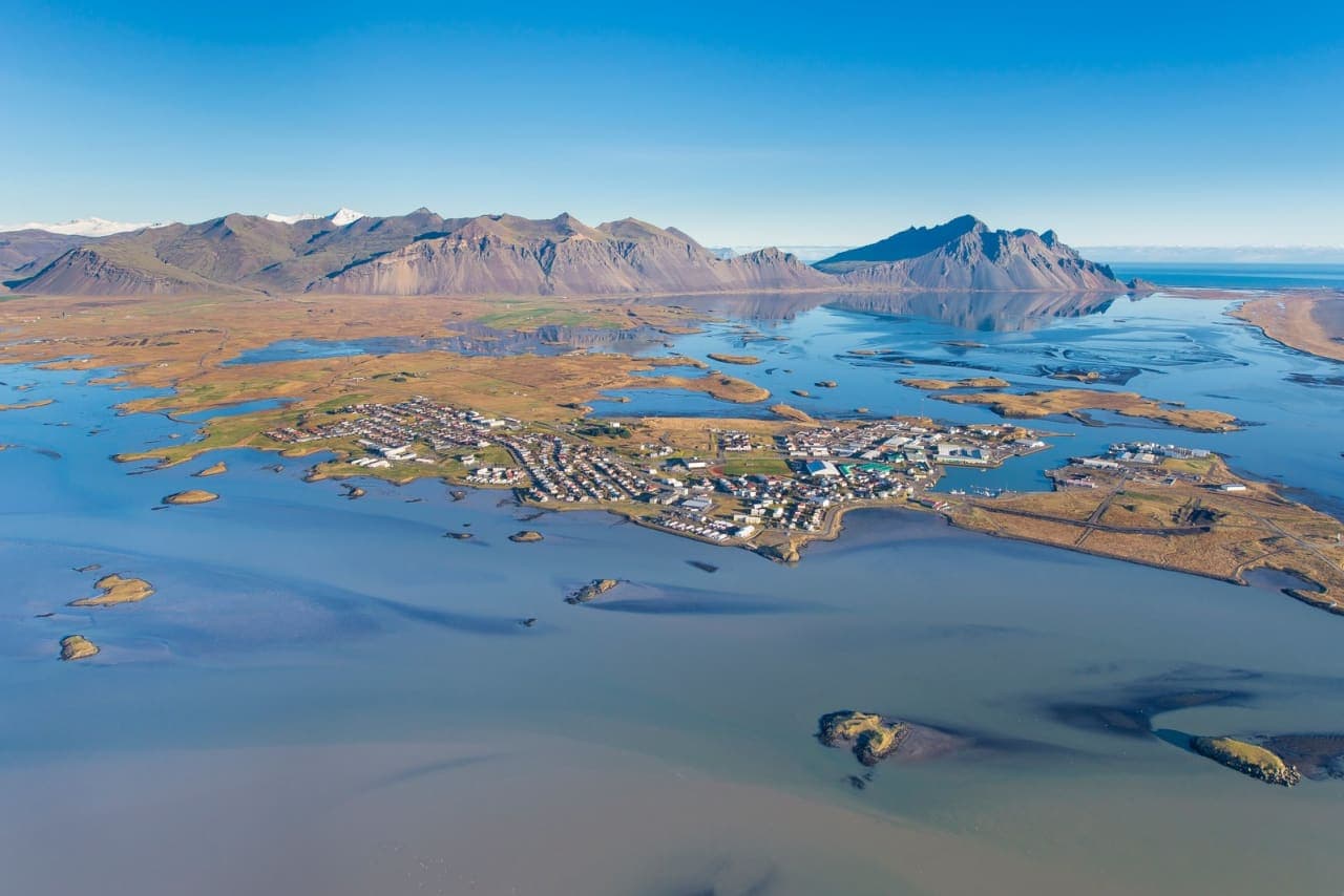
Hornafjörður is a southeast Iceland destination area around Höfn, useful when you want a slower base for fjord views, glacier-country context, local food, birding walks, and nearby Vestrahorn or Hoffell stops.
Coast snapshot
Yes, when the Höfn side of the southeast is more than a place to sleep. Hornafjörður works best as a compact fjord-and-town area, not as one fenced sight.
The useful decision is whether you want time around the water, harbor, mountain views, and nearby glacier-country stops before the route turns toward East Iceland. If you only need a quick photograph, choose a sharper single target such as Vestrahorn or Stokksnes.
Hornafjörður is strongest when Höfn gives the day shape: food, services, a harbor walk, Ósland birding, and enough flexibility to add Hoffell, Almannaskarð, or the Vestrahorn side when conditions cooperate.
Photo guide
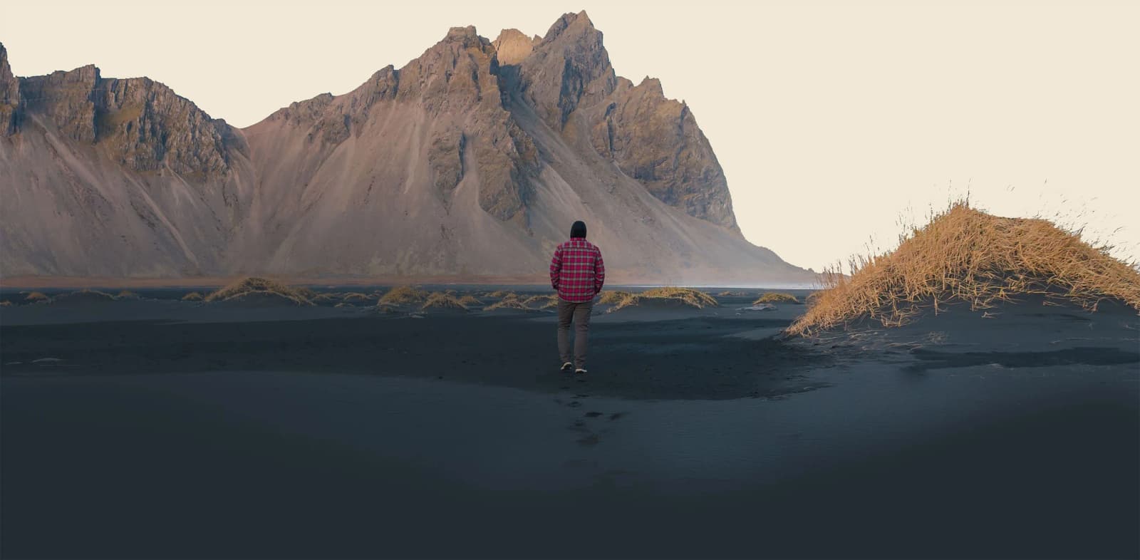
Vestrahorn and Stokksnes are the dramatic coast-and-mountain side of a Hornafjörður stay.
The experience is low-key but specific: water around the town, working-harbor edges, big mountain horizons, and a sense that Vatnajökull is close even when the glacier is not the whole stop.
Höfn is the practical center, but the page is not only about the town. The appeal is the wider setting: fjord water, glacier-fed landscapes, local food identity, and quick access to named stops that feel very different from each other.
Ósland adds a quieter reason to pause. The conservation area south of town has shore paths, birdlife, views toward the glacier ring, and a scaled solar-system trail, so it can turn an overnight into a real local walk instead of only a logistics stop.
The area is most useful when you treat it as a small cluster: Höfn for services and harbor texture, Almannaskarð for a broad view, Hoffell for glacier-country context, and Vestrahorn or Stokksnes for the dramatic coast.
This is where Hornafjörður beats a simple checklist. You can decide between a town walk, a viewpoint, a glacier-side detour, or the black-sand mountain coast without pretending they are all the same type of stop.
If visibility is poor, Vestrahorn may lose much of its point while Höfn and Ósland still work. If the weather is clear, the mountain and Stokksnes side can become the reason to stay longer.
Use Hornafjörður when your route needs a calmer handoff between Jökulsárlón, Diamond Beach, southeast glacier country, and East Iceland.
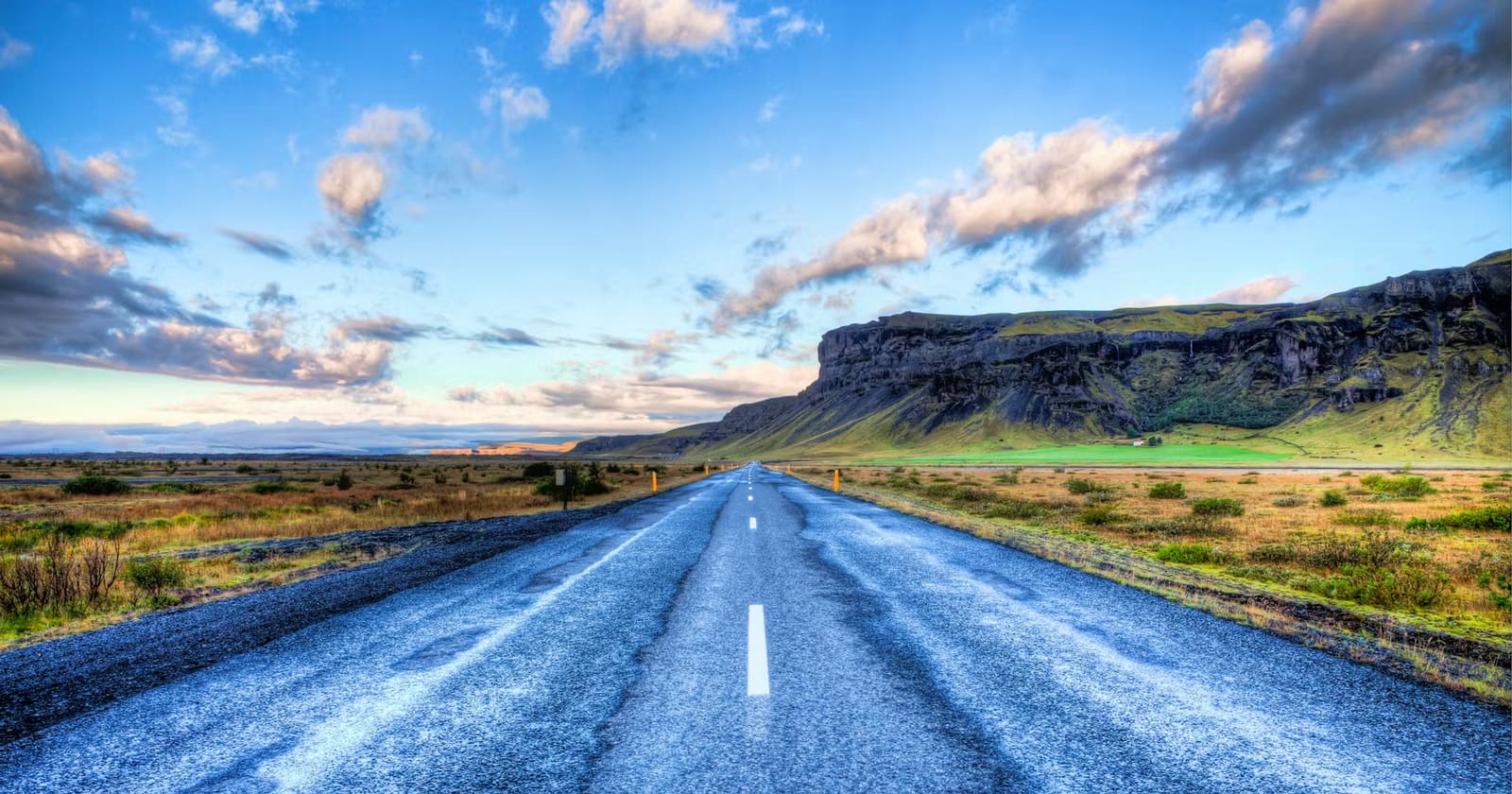
Westbound travelers may use the area after the Eastfjords; eastbound travelers often reach it after the glacier lagoons. Either way, the value is pacing. A night or slower half day here can prevent the southeast from becoming a long drive between famous stops.
Hornafjörður is not difficult in good conditions, but the southeast is exposed enough that practical checks matter.
Use official road and weather sources before committing to long drives, and confirm visitor details for operator-managed places such as the Vestrahorn and Stokksnes area. Facilities, access, and the best use of time can vary with season, staffing, weather, and maintenance.
Use for durable town, services, and regional context.
Use for the local walking and birding angle.
Use before exposed southeast driving days.
Use for wind, visibility, and storm decisions.
By ThorPublished Updated
Map
Use nearby places and useful bases before opening directions.
Interactive planning map for Hornafjörður
Interactive map
Place context and external map links remain available without loading it.
Planning context
Open the region or practical guide that resolves the next planning decision.
Wider route
Use broader place relationships for route comparison; they are not presented as immediate nearby stops.

Fláajökull is a quieter outlet glacier of Vatnajökull near Höfn, best for travelers who want glacier-lagoon scenery and moraine walks without the Jökulsárlón crowds, but only when gravel-road and trail conditions fit the day.
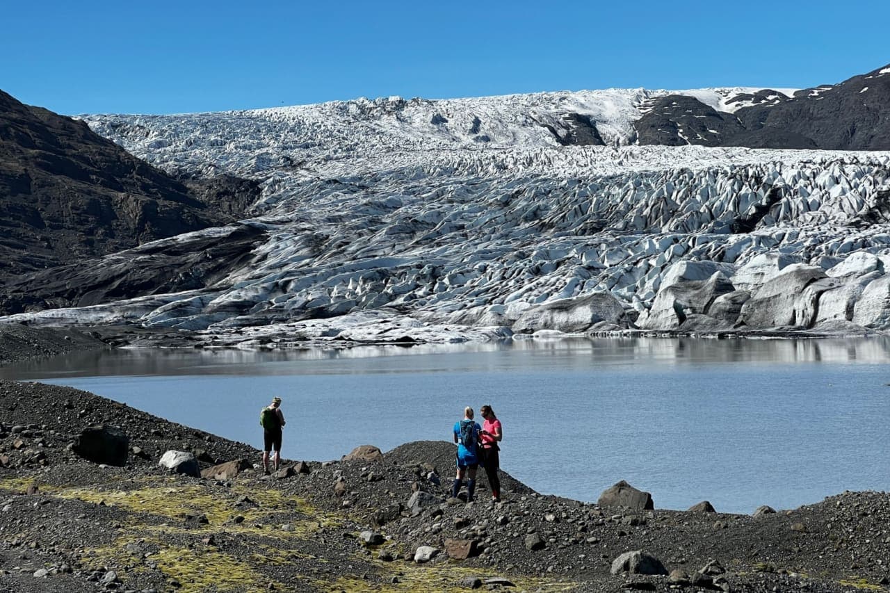
Skálafell is a quiet southeast Iceland farm-and-trailhead stop between Jökulsárlón and Höfn, best for travelers who want a marked walk toward Skálafellsjökull and have room for a slower glacier-country detour.
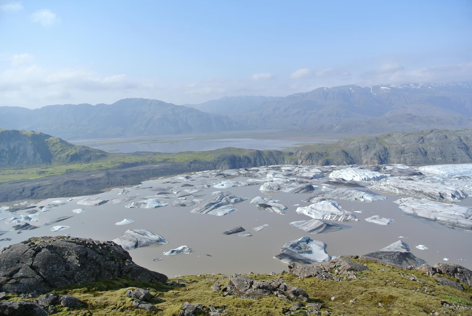
Hoffell is a quieter southeast Iceland stop near Höfn where geothermal tubs, glacier-country walks, and views of Hoffellsjökull can reward a slower day, but it works best only when you have time for rougher access and weather-aware planning.
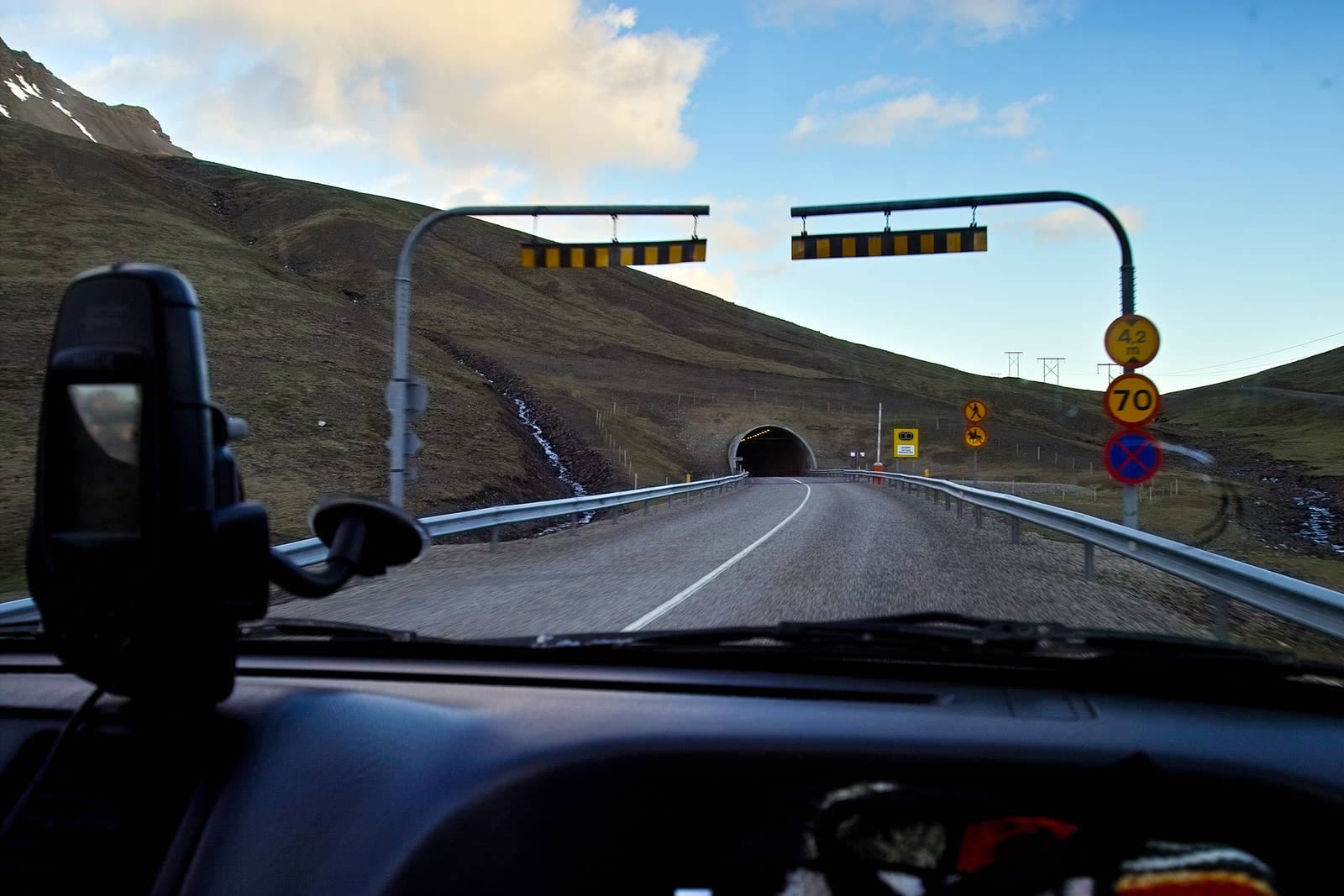
Almannaskarðsgöng is the Ring Road tunnel east of Höfn, useful when you want a brief old-pass viewpoint pause with Hornafjörður views rather than another full scenic detour nearby.
Continue planning
Use these next pages to choose between a Höfn base, Vestrahorn Mountain detour, or longer Ring Road vs South Coast route decision.