Waterfall facts
- Type
- Low cascades and river oasis
- Region
- South Iceland, below Hekla
- Best for
- A quiet Road 26 pause
- Time
- About 20 to 45 minutes
- Access
- Short side road and footpath
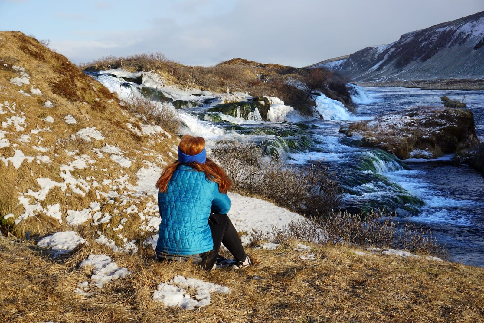
Fossabrekkur Waterfalls are small, low cascades where Ytri-Rangá creates a green oasis in the pumice landscape below Hekla. Use this guide to decide whether the Road 26 detour deserves space in a south highland-edge day.
Waterfall facts
Yes, when you are already using the Hekla side of South Iceland or linking nearby Þjórsárdalur stops. It is less convincing as a long standalone chase from the classic Golden Circle.
Fossabrekkur is not a tall curtain waterfall or a crowd-moving headline stop. Its value is quieter: clear spring-fed water, low cascades, green riverbanks, and the surprise of vegetation appearing inside a pale volcanic landscape.
The best reason to come is contrast. Near Hekla, much of the surrounding ground can feel open, ashy, and exposed, so the Ytri-Rangá oasis gives the day a smaller, more textured stop between bigger route decisions.
The attraction is the setting as much as the water. Fossabrekkur sits near the upper Ytri-Rangá, where cold springs, low falls, and riverside vegetation break up the Hekla pumice plain.
The falls are broad and low rather than dramatic. Look for the way several small drops, channels, moss, grasses, and willow growth make the area feel sheltered despite the open country around it.
That oasis character is also the reason to be careful. Conservation comments for the area describe high natural value, cold spring habitats, sensitive river edges, and birdlife nearby, so the visit should stay light-footed.
Fossabrekkur belongs with Hekla-side driving and Þjórsárdalur planning, not with a rushed list of every famous south-west stop.
A practical day might use Fossabrekkur as a soft pause before or after Þjórsárdalur, Hjálparfoss, Stöng, or Gjáin Valley. Those places add stronger history, bigger waterfall scenery, or valley walking, while Fossabrekkur adds quiet river texture.
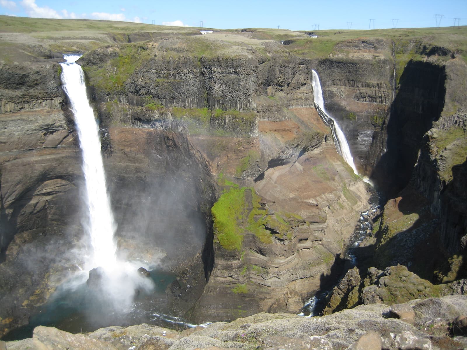
If you are comparing it with Háifoss, be honest about scale. Háifoss is the more dramatic waterfall target; Fossabrekkur is the smaller stop that works when the route already passes close by.
| Trip shape | Use it for | Be careful when |
|---|---|---|
| Road 26 side trip | A short nature pause below Hekla | Weather makes gravel or side-road driving awkward |
| Þjórsárdalur day | A quieter contrast to Hjálparfoss and Stöng | The valley already has too many stops |
| Classic Golden Circle | A separate extension, not a core stop | The day has no buffer beyond the main loop |
Most travelers should think in minutes, not hours. The stop is mainly a short look, a careful walk, and enough time to read the landscape without rushing.
Plan about 20 to 45 minutes if the side road, path, and weather all feel straightforward. Add time only if you are photographing slowly, walking carefully, or using the stop as a picnic-style pause.
Do not treat access details as fixed from a guide page. Check road conditions before the drive, follow local signage, and avoid pushing beyond your vehicle, daylight, or weather comfort.
Fossabrekkur is easiest to enjoy when expectations are precise. It should not replace the major waterfall or valley stops that most travelers came to see.
This is also a place where restraint improves the visit. A quick, respectful stop can be enough; trying to turn it into a major outing can put too much pressure on a fragile riverside area.
By ThorPublished Updated
Use this page for planning judgement, then verify the details that can change on the ground.
Use for place identity, coordinates, and regional visitor context.
Use before extending toward rougher highland-edge roads.
Check before relying on side roads, gravel routes, or longer detours.
Map
Use nearby places and useful bases before opening directions.
Interactive planning map for Fossabrekkur Waterfalls
Interactive map
Place context and external map links remain available without loading it.
Planning context
Open the region or practical guide that resolves the next planning decision.
Wider route
Use broader place relationships for route comparison; they are not presented as immediate nearby stops.
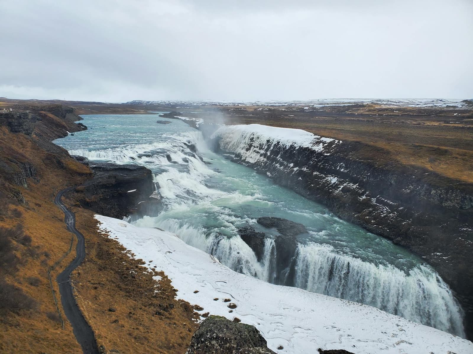
Gullfoss is a two-stage waterfall where the Hvítá river turns sharply and drops into a narrow canyon, creating a powerful view that changes noticeably between its upper and closer paths.
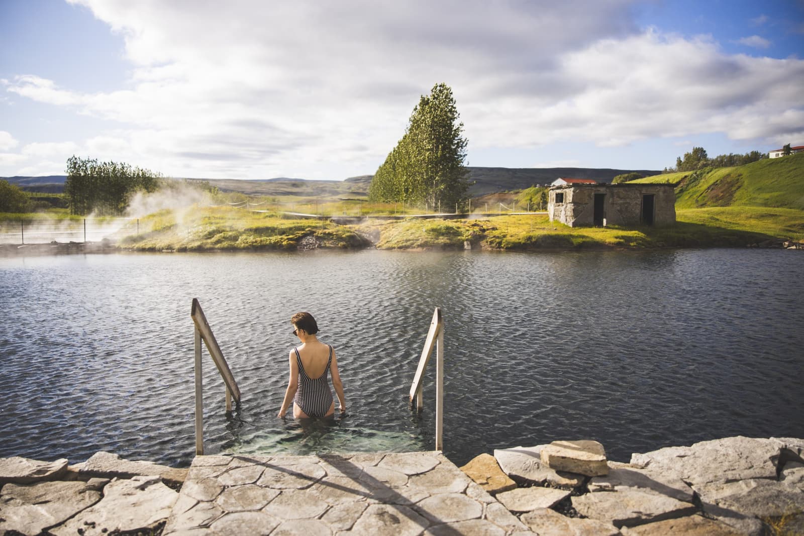
Secret Lagoon, locally known as Gamla Laugin, is a managed geothermal bathing pool made in 1891 at Hverahólmi near Flúðir and best used as a slow warm-water pause.
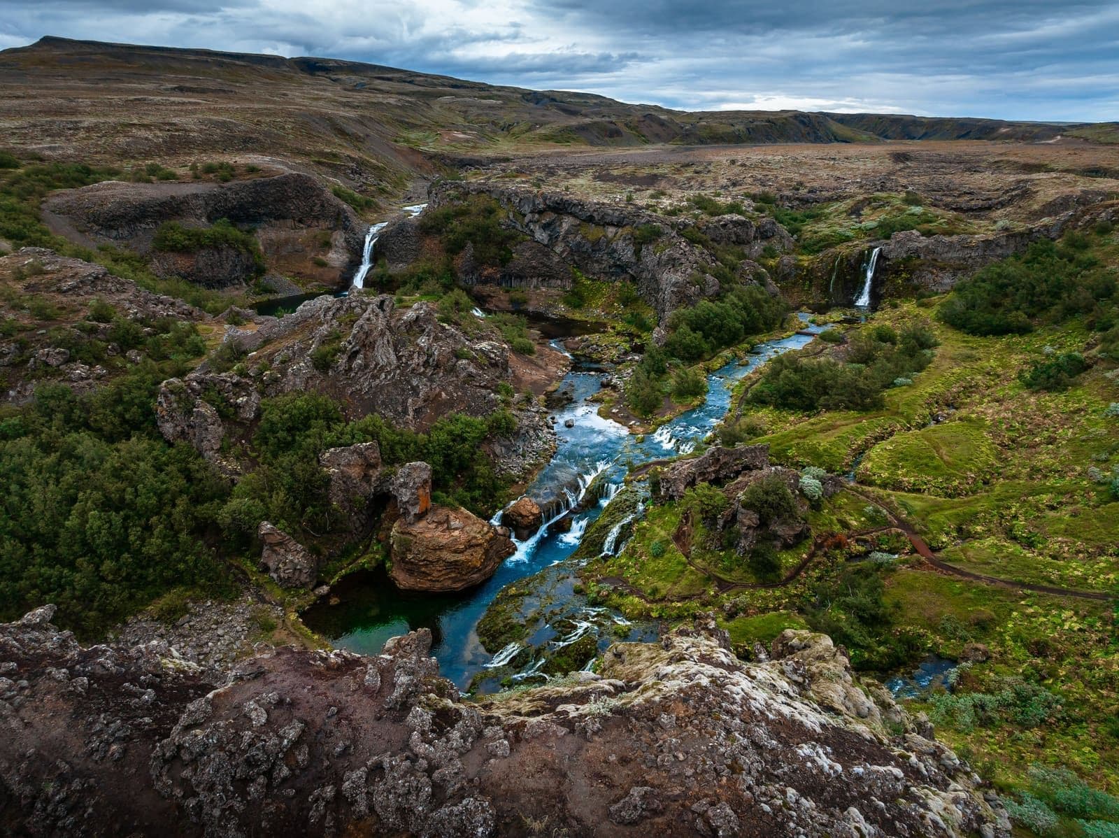
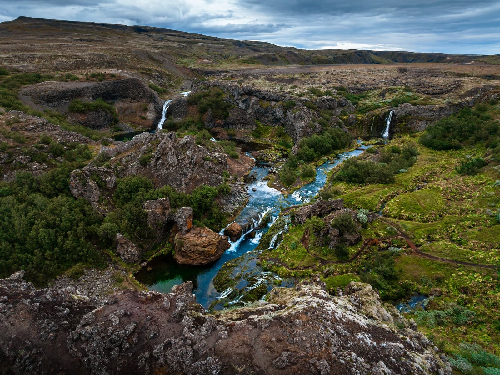
Gjáin is a small protected gorge in Þjórsárdalur where the Rauðá river runs between waterfalls, clear pools, lava walls and unusually dense vegetation near the historic site of Stöng.
Next step
Use the next page that helps turn this stop into a practical route decision.