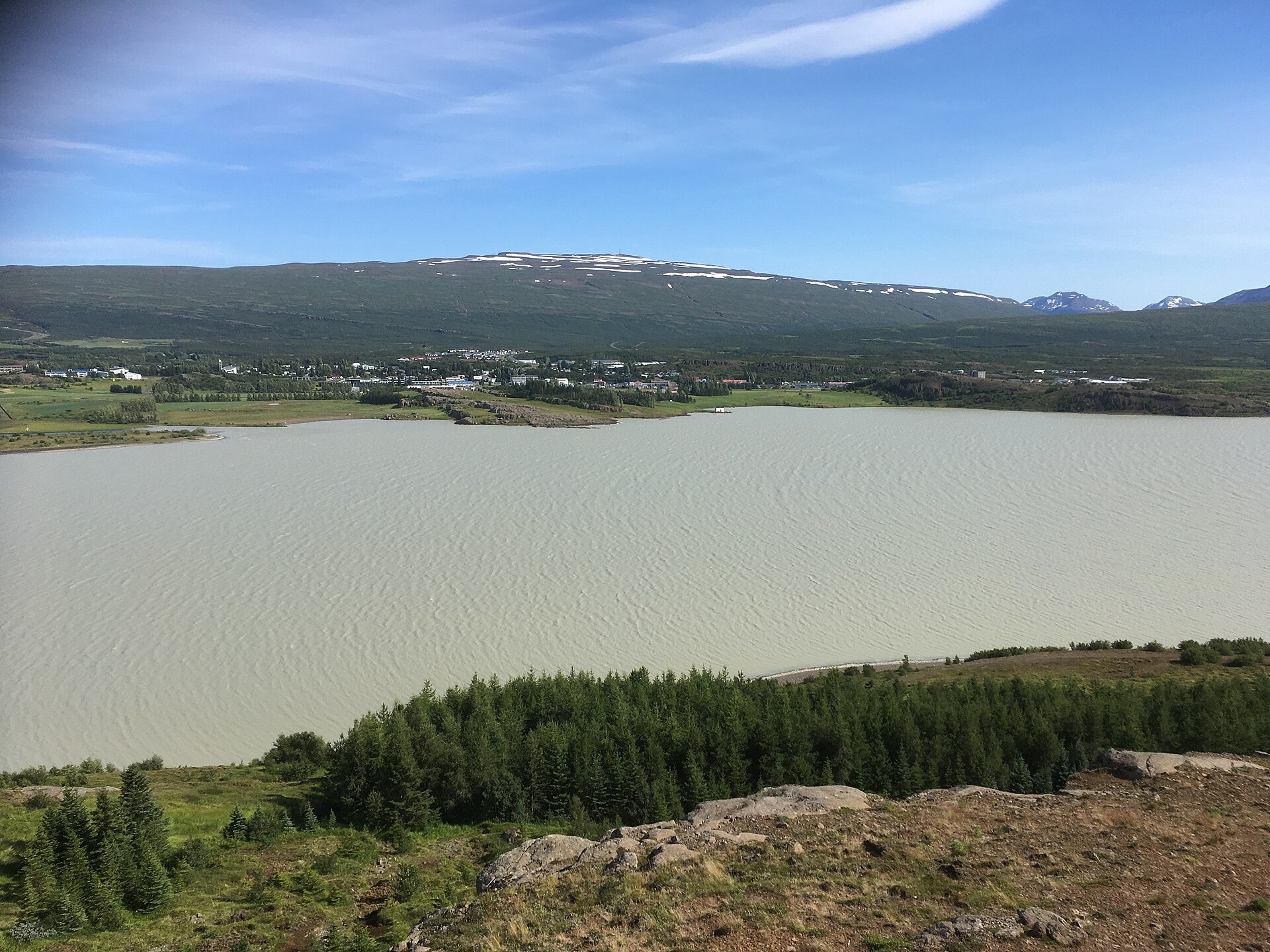
Dimmugljúfur helps travelers decode a remote East Iceland canyon name near Kárahnjúkar and Hafrahvammagljúfur, avoid double-counting it as a separate stop, and check access before driving inland safely.
Quick guide
Type
Remote canyon sub-place
Region
East Iceland near Kárahnjúkar
Role
Hafrahvammagljúfur canyon context
Best for
Name clarity and route decisions
Access
Remote roads need current checks
Nearby
Kárahnjúkar, Hafrahvammar, Laugavallalaug
Check first
Roads, weather, vehicle rules, safety
What Dimmugljúfur means on an East Iceland map
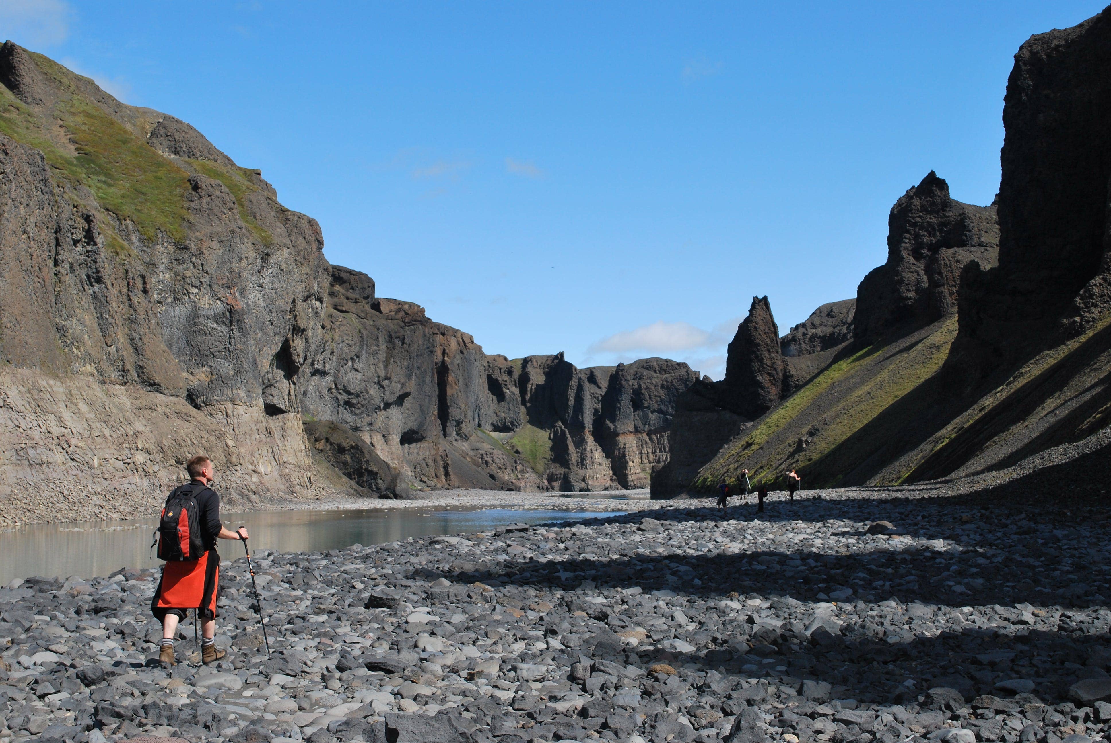
Dimmugljúfur is best understood as a remote canyon sub-place in the Hafrahvammagljúfur and Hafrahvammar area near Kárahnjúkar, not as a second easy attraction to add after those names.
Travelers usually meet the name while researching the inland canyon landscape north of Kárahnjúkar. Regional and specialist sources place the practical decision around Hafrahvammagljúfur, Hafrahvammar, Dimmugljúfur, road 910, and the rougher approach toward Laugavellir.
That makes this page useful for orientation. If your map, photo caption, or hiking note says Dimmugljúfur, check whether it is pointing into the same canyon system you were already planning through Hafrahvammar or Hafrahvammagljufur Canyon.
Dimmugljúfur belongs to the same remote canyon planning context many travelers meet through Hafrahvammar and Hafrahvammagljúfur.
Photo guide
Dimmugljúfur in photos
1 / 3
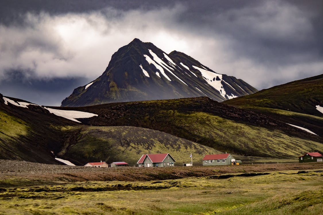
The canyon landscape rewards travelers who have planned for remote access rather than rushed sightseeing.
Worth the stop?
When this stop makes sense
Good match for
travelers decoding East Iceland canyon names
Kárahnjúkar self-drivers with spare route margin
repeat visitors interested in remote canyon context
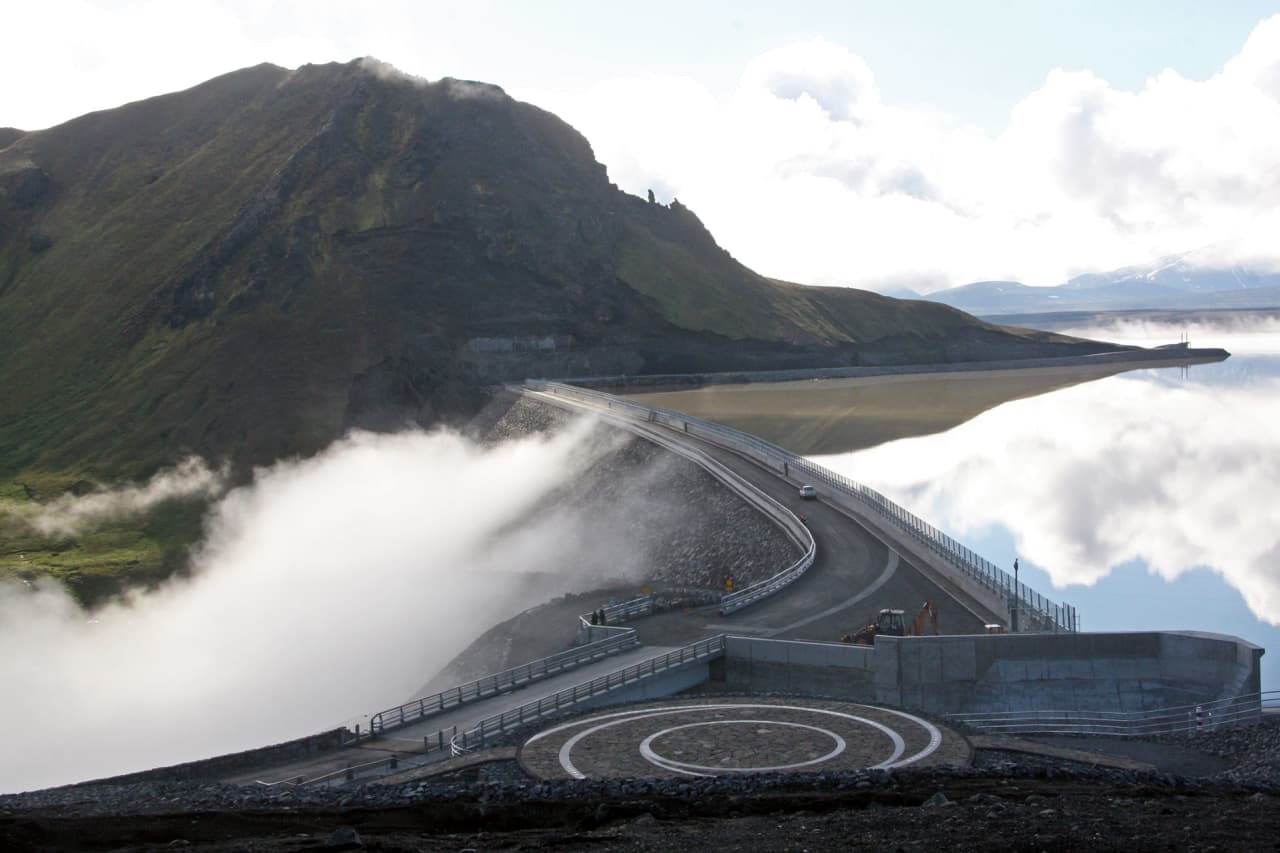
Kárahnjúkar is not just a nearby pin. The dam, Hálslón reservoir, access roads, and gorge views shape how most visitors understand this part of inland East Iceland.
Visit Austurland describes Hafrahvammagljúfur as one of Iceland's large gorges and links the area to road 910, a marked route, and a four-wheel-drive approach for the trail start. The same regional source says part of the gorge can be seen from Kárahnjúkar dam.
For a traveler, the practical question is whether Kárahnjúkavirkjun is already part of the day. If it is, Dimmugljúfur may help explain the canyon names around the dam area. If it is not, adding the canyon can pull a simple East Iceland day into a more remote highland-style detour.
The Kárahnjúkar setting matters because canyon access, viewpoints, and route choices are tied to the dam area.
When to treat Dimmugljúfur as a target
Target Dimmugljúfur only when the inland canyon area is already the purpose of your day. Treat it as context when you are trying to protect a simpler Ring Road or Eastfjords route.
Dimmugljúfur planning choices
Trip situation
Best use
Reason
You found the name beside Hafrahvammar
Treat it as overlap
The same canyon area may be described with several names.
You are already visiting Kárahnjúkar
Consider the canyon context
The gorge and dam landscape explain each other.
You have a tight Ring Road day
Keep it off the plan
Remote access can cost more time than the map suggests.
Road or weather checks look uncertain
Choose a simpler stop
Poor visibility or rough conditions quickly reduce the value.
For most visitors, Egilsstaðir is the practical base before deciding on an inland drive. If you want a more accessible East Iceland canyon comparison, Stuðlagil Canyon is usually easier to evaluate than Dimmugljúfur.
The canyon is compelling, but it rewards a route with real margin rather than a rushed add-on.
Checks before driving toward the gorge
Access details can matter more than the name. Make the final decision from current official information, not from an old photo or a cached route note.
Check Umferðin before committing to road 910 or rougher approaches.
Check the Icelandic Meteorological Office for wind, visibility, precipitation, and warnings.
Check SafeTravel for current alerts and remote-travel guidance.
Confirm your rental terms before using any highland or F-road section.
Keep enough daylight and fuel margin for turning back.
Stay back from canyon edges and follow local signs and marked routes.