
Bathing details
- Type
- Remote Strandir destination area
- Region
- North Strandir, Westfjords
- Best for
- Deliberate remote-day routes
- Time
- Half day to full day
- Nearby
- Djúpavík and Krossneslaug
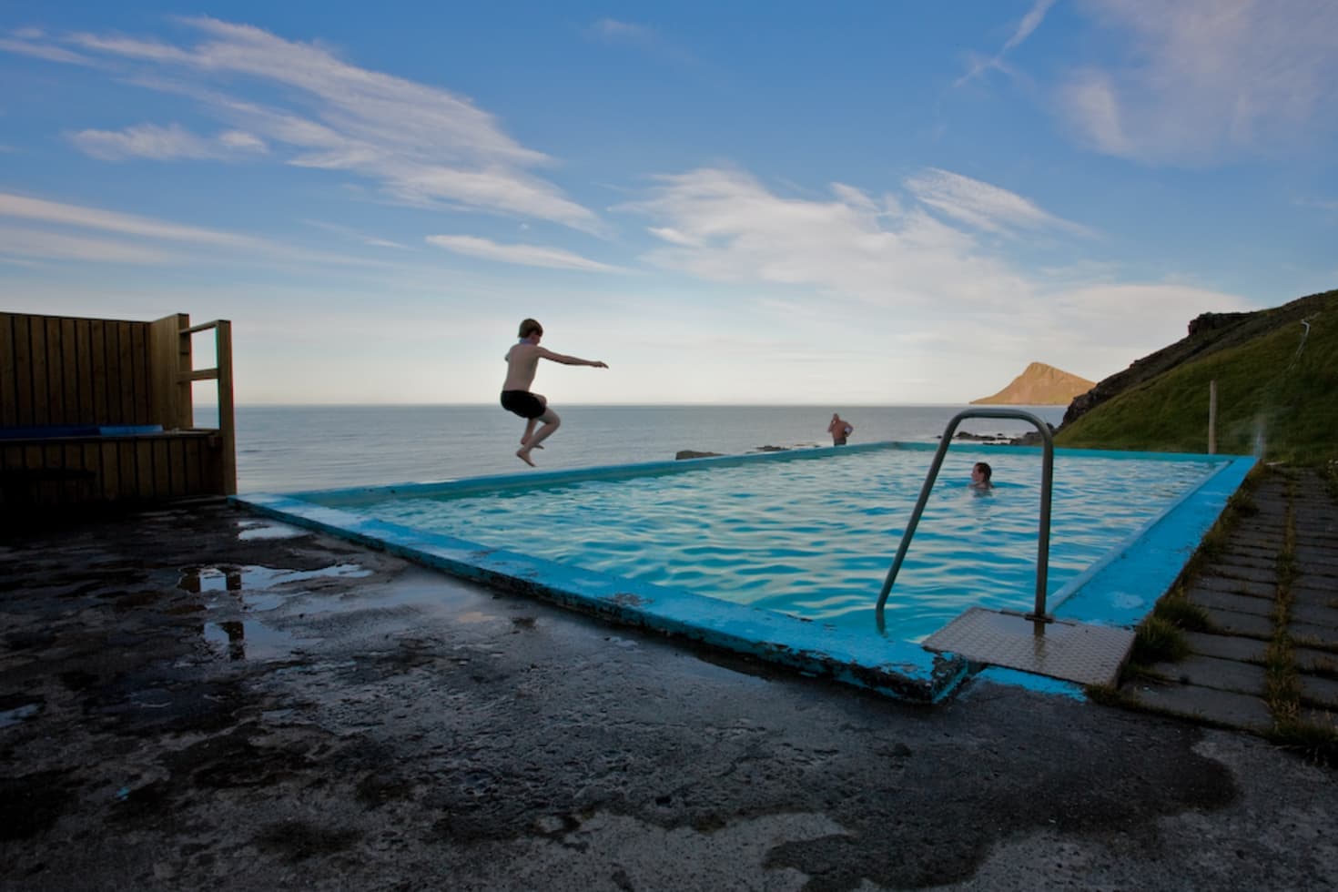
Árneshreppur is the far north Strandir destination area in the Westfjords, useful for travelers deciding whether the long road, Djúpavík, Krossneslaug, and deep remoteness justify giving this corner of Iceland a real day.
Bathing details
Yes, when the drive itself is part of the reward and you want north Strandir to feel remote, sparse, and specific. No, when you are only stretching a tighter Westfjords loop for one more name on the map.
Árneshreppur is not one lookout or one village square. It works as a destination area made from the road, the fjords, the almost-empty settlements, Djúpavík, and Krossneslaug. The page matters because the real decision is whether all of that together is worth the commitment.
If your Westfjords plan only has room for a quick eastern detour, keep the route shorter around Hólmavík, Drangsnes, or Bjarnarfjörður. Árneshreppur starts making sense when the emptier northern coast is the point rather than the inconvenience.
Photo guide
Gjögur and the northern harbors add a practical edge to a place that could otherwise feel like a dead-end drive.
This is one of the Iceland pages where the approach is part of the attraction, not dead time between attractions.
North of Hólmavík, Strandir thins out fast. The settlements get smaller, the fjords feel broader, and the journey becomes more about commitment than convenience. That shift is what separates Árneshreppur from a normal village page.
You do not need to sell that as dramatic every minute. The reward is steadier: long coastlines, little traffic, and the sense that the final destinations matter more because the road gives them weight. Travelers who dislike long approach miles without constant stops will feel that weakness early.
Most travelers are not visiting every settlement with equal interest. The stronger plan is to decide which anchor is carrying the day.
| Anchor | Best when | What it adds |
|---|---|---|
| Djúpavík | You want industrial history and mood. | A factory village with a strong sense of place. |
| Norðurfjörður | You want the settlement pause and practical edge. | The clearest service base in the area and a Hornstrandir-minded departure point. |
| Krossneslaug | You want a far-north payoff at the road's end. | A geothermal pool with ocean-facing exposure and wildlife context. |
Djúpavík is the most persuasive reason for many travelers because the old herring factory turns the remoteness into a specific story. Krossneslaug is the cleaner payoff if the day needs a pool-and-coastline finish. Norðurfjörður matters in a quieter way because it gives the area a lived-in center instead of leaving the whole drive feeling like pure scenery.
There is also a second angle here that sources support and many overview pages underplay: Árneshreppur is not only a remote dead end. Gjögur adds an air-access edge, and Norðurfjörður can matter to travelers already thinking about Hornstrandir, even if that reserve belongs to a separate planning decision.
A half day can work if you are already nearby. A fuller day works better if this corner of Strandir is one of the trip's main commitments.
The weaker plan is trying to touch everything quickly. The stronger plan is building around one lead stop and letting the others support it. Djúpavík plus Krossneslaug works for travelers who want a clear northbound arc. Norðurfjörður plus Trékyllisvík works better when you want to stay in the settlement-and-coast rhythm rather than chase a single climax.
The page would feel thin if it were only about remoteness. It becomes more convincing when you notice how industrial history, small harbors, and local access points give that remoteness structure.
Djúpavík is the clearest example because the old herring factory is still large enough to change the scale of the whole area. The place is not only quiet and far away. It also carries the remains of a much busier economic life, which makes the visit feel stranger and more specific than a normal remote-village stop.
Gjögur and the northern harbor edge add a different layer. Even if most visitors still reach Árneshreppur by road, the small airport, pier, and weather-station context help explain why this corner stays tied to movement and access instead of feeling like a sealed landscape with nothing behind it.
This is where the page needs to stay practical. The farther north you go, the less sense it makes to treat distance alone as the plan.
Use official road information, the Westfjords forecast, and SafeTravel guidance before a day that depends on the far north Strandir coast. Regional tourism material also makes clear that winter-style travel needs more caution here than the raw map distance suggests.
If the day relies on local facilities, a pool stop, or transport layers around Norðurfjörður or Gjögur, confirm those details directly as well. Facilities, departures, and staffing can matter more in a place this remote than they do in easier parts of Iceland.
Best first check before a remote northbound drive.
Use this for wind, precipitation, and warnings.
Use official travel-safety guidance for remote conditions.
By ThorPublished Updated
Map
Use nearby places and useful bases before opening directions.
Interactive planning map for Árneshreppur
Interactive map
Place context and external map links remain available without loading it.
Planning context
Open the region or practical guide that resolves the next planning decision.
Wider route
Use broader place relationships for route comparison; they are not presented as immediate nearby stops.
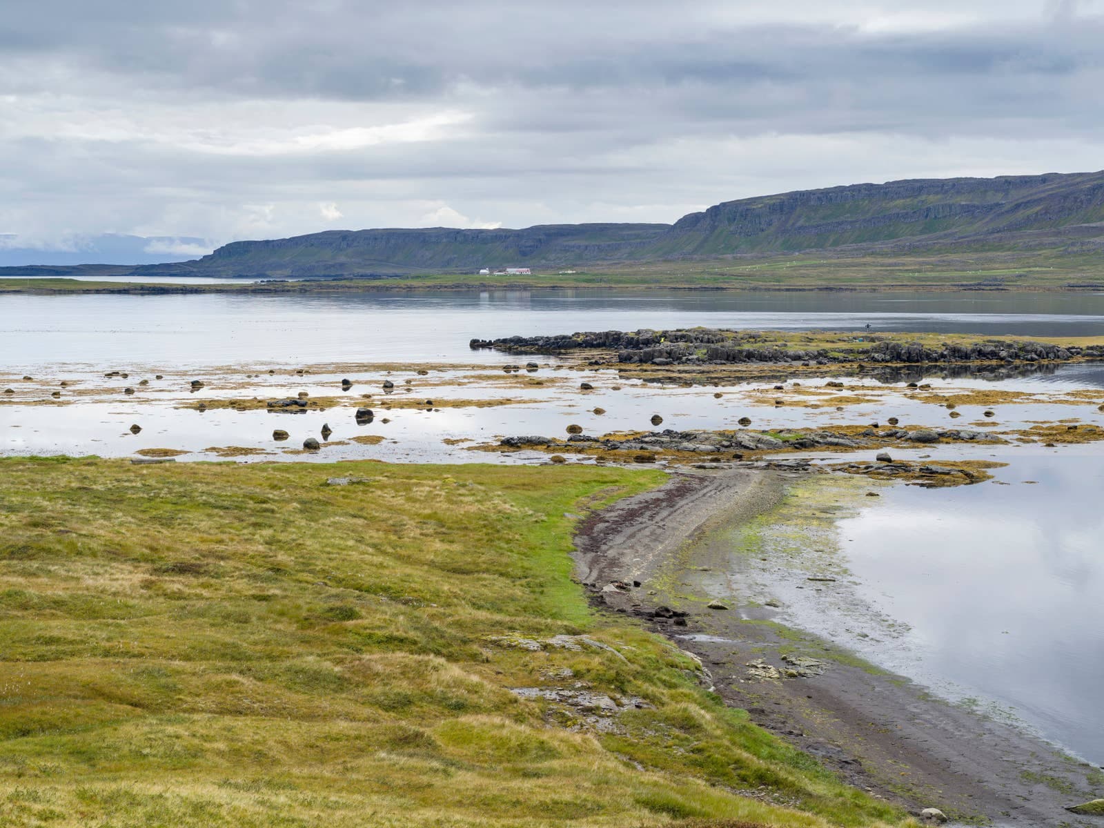
Bjarnarfjörður is a quiet fjord and valley in Strandir, north of Hólmavík on the Westfjords Way, worth adding when you want geothermal folklore, sparse coastal scenery, and a slow alternative to headline Westfjords stops.
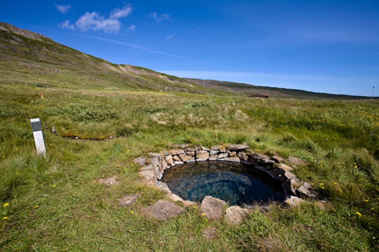
Gvendarlaug is a historic hot spring and geothermal pool stop by Laugarhóll in Bjarnarfjörður, best for Westfjords Way travelers who want folklore with their soak, can verify visitor details directly, and do not mind a simple rural setting.
