
Culture snapshot
- Type
- Folklore rock and short climb
- Area
- West of Kirkjubæjarklaustur
- Best for
- A slower Klaustur pause
- Time
- About 20 to 45 minutes
- Nearby
- Fjaðrárgljúfur and Eldhraun
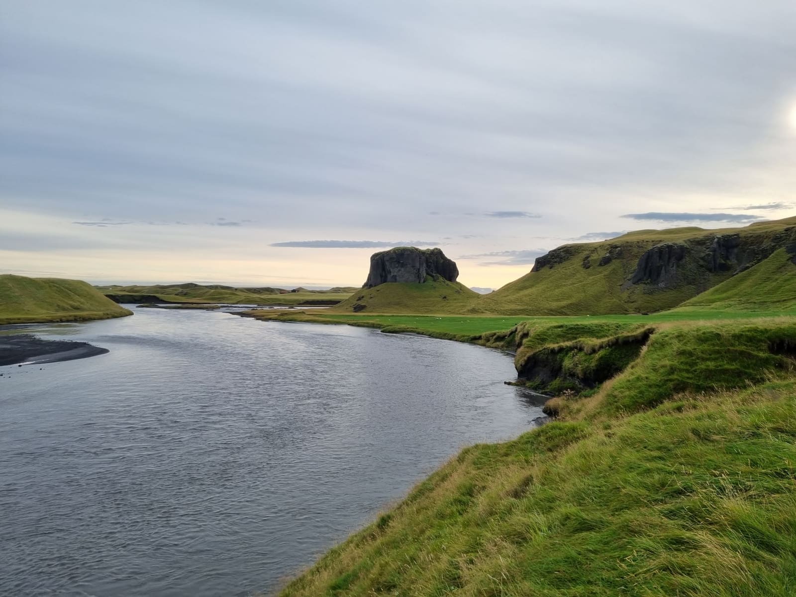
Systrastapi is a steep rock just west of Kirkjubæjarklaustur, useful for travelers deciding whether the folklore, short climb, and broad views add enough to a South Coast day with stronger nearby stops already in play.
Culture snapshot
Systrastapi is worth a stop when your South Coast day already has room for one quieter local landmark. It is much less convincing if you are forcing it into a packed day built around bigger attractions.
This is not a major detour in the way Fjaðrárgljúfur can be. Systrastapi works as a short place-with-a-story pause: a steep rock above the river, a local legend tied to the old convent at Kirkjubæjarklaustur, and a quick way to make the Klaustur area feel more layered than a fuel or food stop.
If the day is already stretched between Vík, Skaftafell, and glacier-lagoon stops, Systrastapi is easy to cut. If you are moving more slowly around Kirkjubæjarklaustur, it adds folklore, a little decision-making about the climb, and wider landscape context without asking for much time.
Systrastapi is more useful as a local-history stop than as a pure viewpoint. The rock matters because it sits inside a story cluster that also includes Systrafoss, Systravatn, and the former convent landscape around Kirkjubæjarklaustur.
Katla Geopark and local visitor sources describe Systrastapi as a steep rock west of the village, tied to folklore about nuns from the old convent. That does not mean you need to treat the stop like a history lesson, but the story explains why this rock has lasted as a named landmark instead of blending into the many unnamed mounds and ridges around it.
That linked setting is the useful secondary angle here. If you want a slightly deeper reason to stop, the nearby convent-story places around Klaustur give Systrastapi more weight than a simple roadside viewpoint. It also pairs naturally with Eldhraun, where the landscape story shifts from local folklore to lava-field scale.
The better choice depends on signs, conditions, and your confidence when you arrive. Do not turn the climb into a requirement if the ground, wind, or footing makes the stop feel less straightforward than it looked on a map.
Visit Klaustur notes that the rock can be ascended and that views from the top reach toward glaciers, the Laki lava, and the wider surroundings. That is the upside. The practical tradeoff is that this is still a small, exposed outdoor stop, not a managed attraction with a polished access setup.
For many travelers, the correct version of the visit is simply to look, take a few photos, and move on. If the path looks wet, windy, or awkward, Systrastapi still works as a short cultural landmark. The page is more useful if it keeps that option honest instead of pretending every visitor needs the climb.
Systrastapi belongs in a compact Kirkjubæjarklaustur-area pause, not as a headline destination between larger South Coast icons.
Its strongest pairings are close and contrast-driven. Fjaðrárgljúfur adds the stronger scenic walk, Foss á Síðu adds a more immediately readable waterfall stop, and Fagrifoss changes the day entirely if you are comparing easy roadside rhythm with a rougher F206 detour.
That makes Systrastapi more of a route-texture decision than a must-see list item. On a broader South Coast Road Trip, it helps if you want one quieter local stop between big-name sights. On a rushed point-to-point day, it is usually the place to leave optional.
The stop is small enough that minor conditions can change whether it feels worthwhile. Check the basics if this visit matters to the day.
You do not need live-status prose here, but you do need the right habit: check official road, weather, and safety sources before counting on exposed outdoor stops. Then follow local signs once you are in the Kirkjubæjarklaustur area.
Use for the rock's identity and the local folklore context.
Use for the local climb-and-view context around the rock.
Check South Coast driving conditions before small detours matter.
Check exposed outdoor conditions and warnings before relying on the stop.
By ThorPublished Updated
Map
Use nearby places and useful bases before opening directions.
Interactive planning map for Systrastapi
Interactive map
Place context and external map links remain available without loading it.
Planning context
Open the region or practical guide that resolves the next planning decision.
Wider route
Use broader place relationships for route comparison; they are not presented as immediate nearby stops.
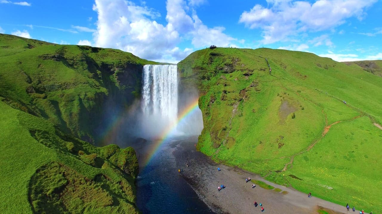
Skógafoss is a 60-meter waterfall on the South Coast, with a powerful base view, a stairway to the top and a protected series of smaller falls continuing above it.
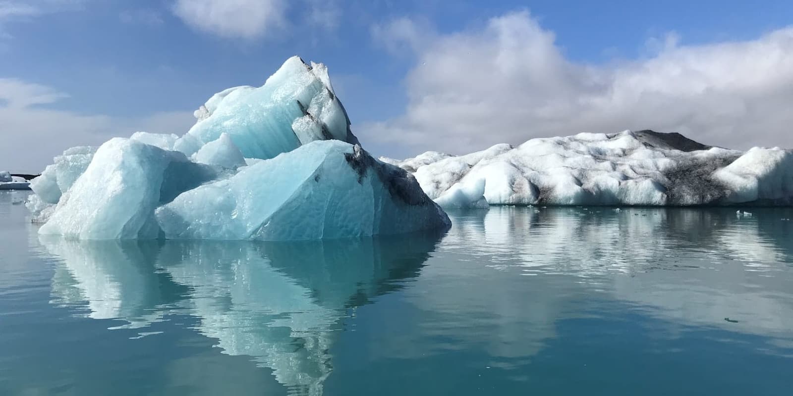
Jökulsárlón is a glacier lagoon where icebergs break from Breiðamerkurjökull and drift toward the Atlantic. The shore is easy to reach from Route 1, but the ice, weather and nearby ocean still need respect.
