Hike facts
- Type
- Mountain peak and ridge objective
- Region
- West Iceland, near Skorradalur
- Best for
- Serious hikers and viewpoint hunters
- Time
- Several hours if hiking
- Access
- Mountain route, weather dependent
Skessuhorn is a sharp West Iceland mountain in the Skarðsheiði range, best for travelers deciding whether a serious ridge objective or scenic Borgarfjörður viewpoint belongs in a wider self-drive day.
Hike facts
Yes for capable hikers, climbers, and travelers who want a strong Borgarfjörður mountain landmark. For most visitors, it works better as a scenic anchor than as a summit target.
Skessuhorn is the pointed peak in the Skarðsheiði range that catches the eye from Borgarfjörður, Skorradalur, and some clear approaches from the southwest. It has enough character to deserve its own page, but it should not be treated like a simple pull-in viewpoint.
The practical decision is whether the mountain is the reason for the day or the backdrop to a West Iceland route. Choose the full mountain plan only when your group has real hiking experience, settled weather, and enough time to turn around without losing the rest of the day.
For travelers who are not climbing, the best value is often simply understanding why this peak changes the feel of the Borgarfjörður landscape.
Photo guide
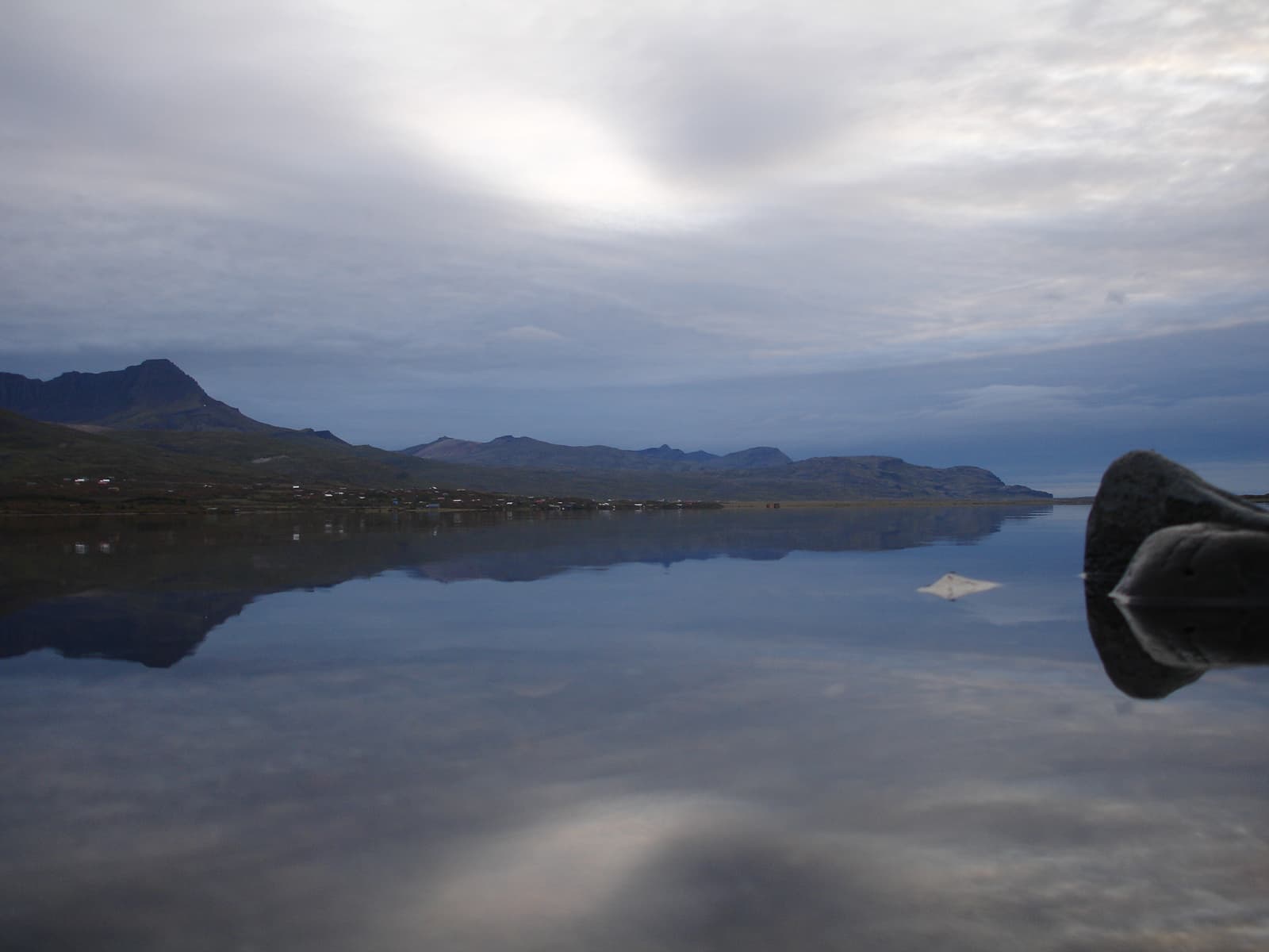
Skorradalsvatn helps explain why the mountain belongs in a Borgarfjörður landscape day.
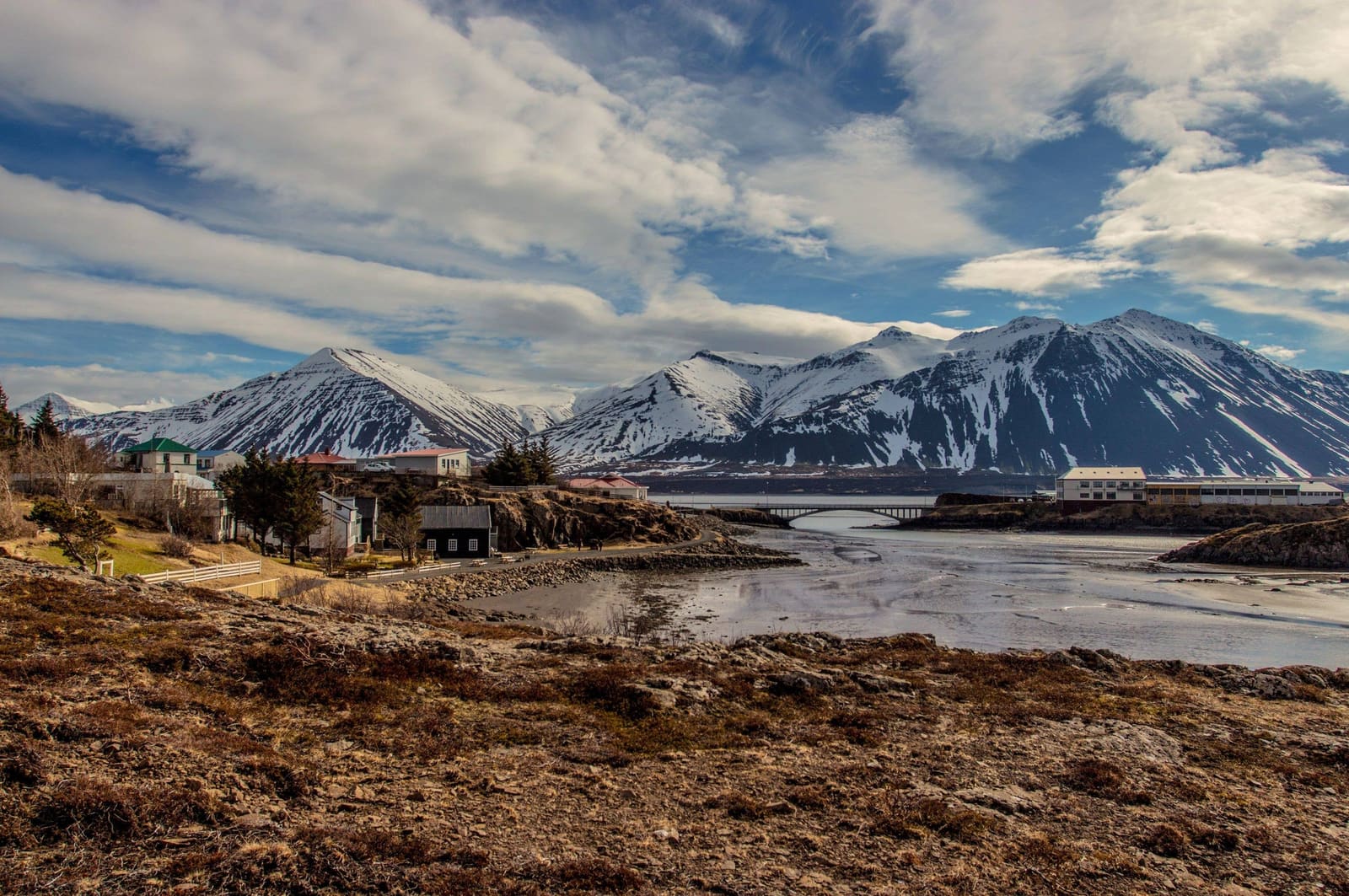
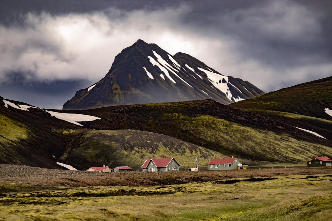
Skessuhorn is a steep mountain landmark, not a managed attraction. The value is the triangular profile, the ridge setting, and the way it frames Borgarfjörður and Skorradalur.
Sources place Skessuhorn in the Skarðsheiði range, with the peak usually described as one of the most distinctive forms in the range. That matters for travelers because the mountain can add meaning to a Borgarfjörður drive even when climbing it is not sensible.
If you only want a photograph, look for the mountain from the Skorradalur side, the Borgarnes approach, or nearby roads with safe stopping room. If you want the ridge itself, treat the plan as exposed mountain terrain and let the weather decide.
Treat it conservatively. Public sources describe Skessuhorn as a challenging mountain objective, and the most useful planning check is whether your group can handle exposed terrain, route finding, and changing weather.
This is not the place to learn whether you enjoy scrambling. The mountain is steep, route choice matters, and poor visibility can remove the main reward while increasing the downside. If the group is split between sightseeing and a serious hike, keep Skessuhorn as a visual landmark and spend the active time somewhere simpler.
The mountain belongs in a West Iceland day when it gives the route a clear visual spine. Borgarnes, Skorradalur, Hvanneyri, and Reykholt make stronger planning anchors than the summit for many visitors.
A clean day could use Borgarnes for services and the Settlement Center, Skorradalur for lake and forest scenery, and Skessuhorn as the mountain backdrop. That version gives non-hikers a reason to care without forcing a technical objective into a sightseeing itinerary.
If your route is already moving between Akranes, Borgarnes, and Reykholt, Skessuhorn works as a visual marker of the Borgarfjörður landscape. If the day is only a transfer between Reykjavík and farther west, it is usually better to admire the peak from the road and keep moving.
Check the mountain plan the same way you would check any exposed Iceland objective: weather, daylight, road approach, group ability, and a backup that still makes the day worthwhile.
Use for forecasts before exposed mountain or visibility-dependent plans.
Use for Iceland travel alerts and outdoor safety guidance.
Use for road notifications before the West Iceland approach.
By ThorPublished Updated
Map
Use nearby places and useful bases before opening directions.
Interactive planning map for Skessuhorn Mountain
Interactive map
Place context and external map links remain available without loading it.
Planning context
Open the region or practical guide that resolves the next planning decision.
Wider route
Use broader place relationships for route comparison; they are not presented as immediate nearby stops.
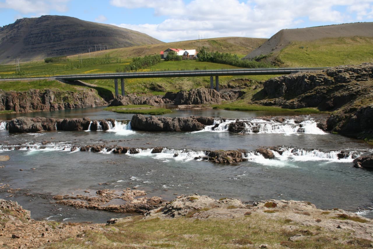
Tröllafossar is a low, stepped waterfall cluster at Fossatún in West Iceland, best for travelers deciding whether a short Borgarfjörður or Silver Circle detour adds enough scenery, folklore, and river views between bigger headline sights.
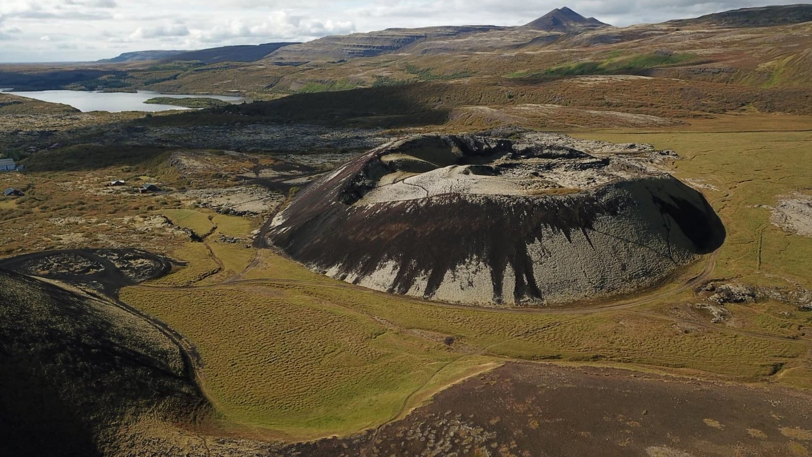
Borgarfjörður is a West Iceland fjord and district best used as a flexible Silver Circle-style day, pairing lava waterfalls, geothermal steam, saga history, farm country, and short scenic stops instead of one single headline sight.
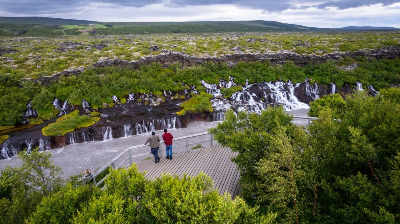
Hraunfossar is a protected West Iceland waterfall area where clear springs stream from Hallmundarhraun lava into the Hvítá river beside Barnafoss, with enough flexibility for conditions and nearby route choices.
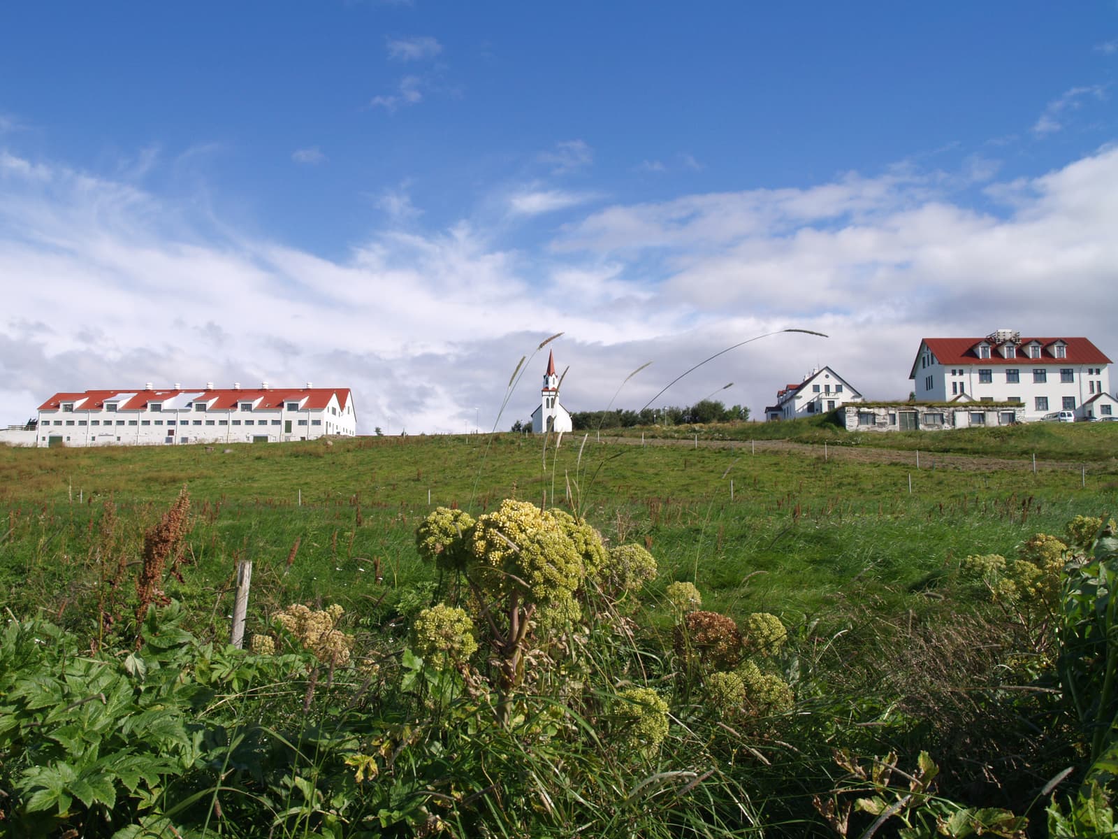
Hvanneyri is a quiet agricultural village in West Iceland, useful for museum time, old school buildings, a church, wetland birdlife, and a low-pressure Borgarfjörður stop when your route needs slower local texture.
Next step
Use the next page to choose whether the mountain is a base-area stop, lower-effort pairing, or weather-dependent hike.