Coast snapshot
- Type
- Lighthouse and coastal viewpoint
- Region
- Western Snæfellsnes National Park
- Best for
- Short self-drive coastal pauses
- Time
- About 20 to 45 minutes
- Nearby
- Lóndrangar and Djúpalónssandur
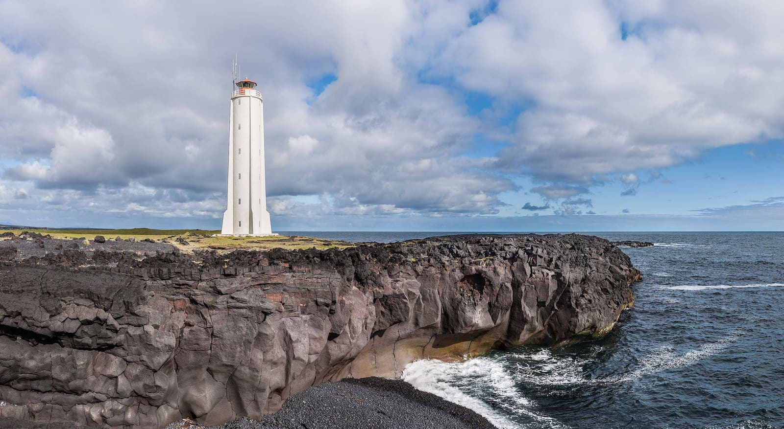
Malarrif Lighthouse is a compact west Snæfellsnes stop for travelers who want a clear coastal landmark, national park context, and an easy pairing with Lóndrangar or Djúpalónssandur without overloading the day.
Coast snapshot
Yes, if your west Snæfellsnes day needs a clean coastal landmark and a practical pause between bigger natural stops.
Malarrif is not the most dramatic stop on the peninsula, but it earns its place when you are already moving through Snæfellsjökull National Park. The white lighthouse, black lava coast, and open Atlantic setting give the day a clear visual marker before or after Lóndrangar.
It is less convincing as a standalone detour from the other side of Snæfellsnes. If your route is crowded, make Malarrif a quick lighthouse-and-coast pause, then save more walking time for Djúpalónssandur, Vatnshellir Cave, or the Lóndrangar viewpoints.
The visit is exposed, open, and easy to understand: a bright lighthouse against dark lava, sea air, and the mountain-backed national park.
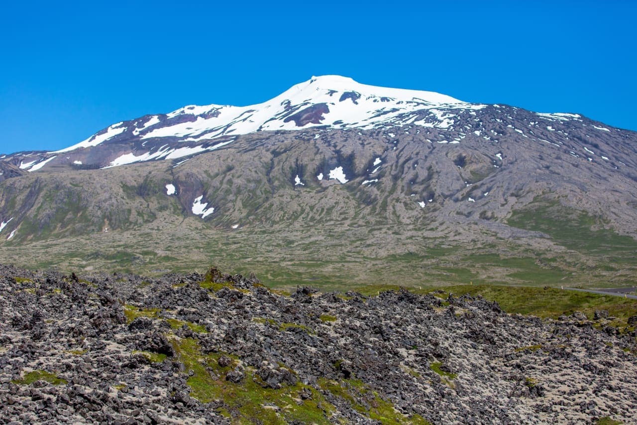
The first impression is the contrast. The tower stands clean and pale above rough black shoreline, while Snæfellsjökull and the low lava fields give the stop its scale. In good visibility, it feels like a threshold between the peninsula's mountain interior and the Atlantic edge.
Do not expect a long attraction with a complex route. The value is the quick sense of place: lighthouse, coast, weather, birds in season, and nearby national park stops close enough to link without backtracking.
Malarrif is most useful as part of the tight west-side cluster, not as a lonely item on a checklist.
The practical sequence is simple. Use Malarrif for the lighthouse and visitor-area pause, Lóndrangar for the stronger cliff-and-sea-stack view, and Djúpalónssandur for black-pebble shoreline and fishing-station history. Saxhóll adds crater scale if the day still has room.
Malarrif can be more useful when you treat it as national park context, not only as a lighthouse photo.
Official park information identifies Malarrif as a visitor-center location for Snæfellsjökull National Park. That matters because this part of the peninsula is not just a row of scenic stops; it is a protected landscape of lava, coast, glacier views, bird cliffs, and cultural history.
If you like understanding why places are protected, this is the reason not to reduce Malarrif to a two-minute photo. Check official visitor information before relying on services, exhibits, or staffed help, because those details can vary.
Most travelers only need a compact visit, but wind and visibility can decide whether Malarrif feels worthwhile.
Allow roughly 20 to 45 minutes if you are stopping for photos, a short look around, and route orientation. Stretch it only when the weather is pleasant or when the visitor-center context is part of your plan.
By ThorPublished Updated
Use official sources for the details that can change, then keep the stop flexible inside your Snæfellsnes day.
Use for visitor-center information and national park context.
Use for park background, conservation guidance, and landscape context.
Use before depending on west Snæfellsnes driving conditions.
Use for weather alerts and exposed-condition travel guidance.
Usually no. It is best as part of a west Snæfellsnes cluster with Lóndrangar, Djúpalónssandur, Vatnshellir Cave, or Saxhóll.
Most visitors can treat it as a 20 to 45 minute stop, then adjust for weather, photos, visitor-center context, or nearby walking.
Lóndrangar is the closest natural pairing if you want cliffs and sea stacks; Djúpalónssandur is better for black-pebble shoreline.
Map
Use nearby places and useful bases before opening directions.
Interactive planning map for Malarrif Lighthouse
Interactive map
Place context and external map links remain available without loading it.
Planning context
Open the region or practical guide that resolves the next planning decision.
Wider route
Use broader place relationships for route comparison; they are not presented as immediate nearby stops.
Next step
Use the next page that helps turn this stop into a practical route decision.