Short stop snapshot
- Type
- Remote lake and fishing area
- Region
- West Iceland, inland from Borgarnes
- Best for
- Fishing, hiking, and quiet scenery
- Time
- One hour to a half day
- Access
- Rural road approach; check conditions
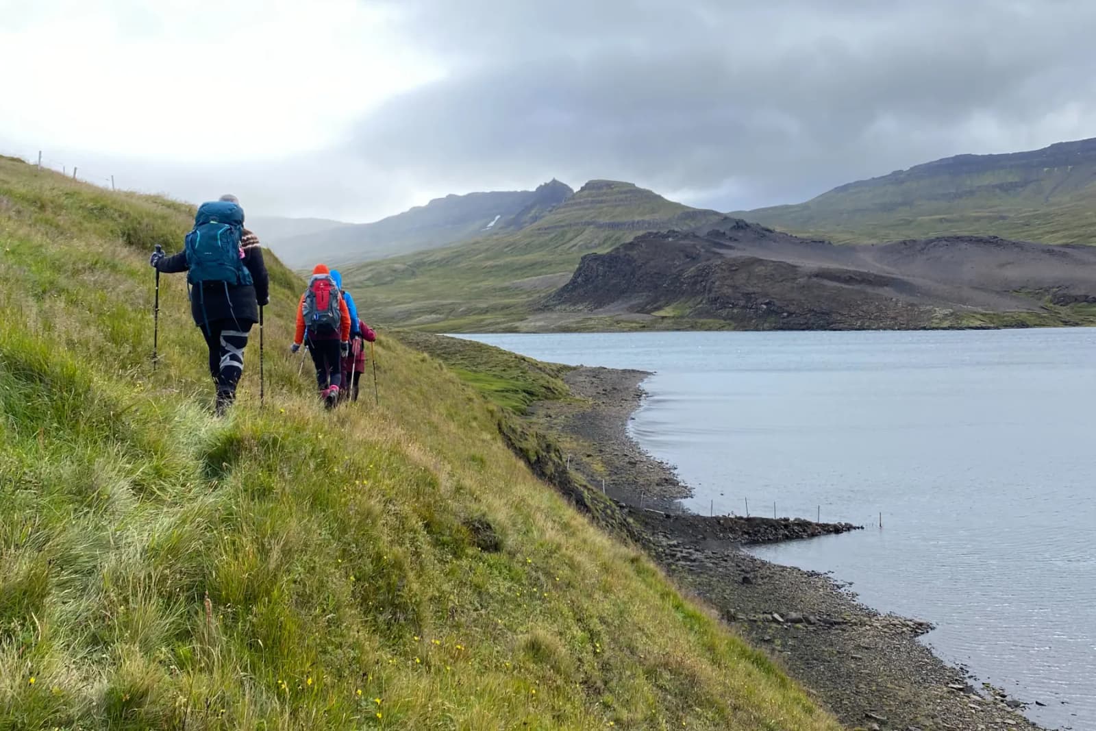
Langavatn Lake is a remote West Iceland fishing and hiking stop for travelers who want a quieter Borgarfjordur detour, not another headline sight squeezed into a fast Ring Road day.
Short stop snapshot
Langavatn is worth considering when your West Iceland day has room for a quiet lake, fishing plans, or Vatnaleid hiking context. It is easy to drop when the day already depends on stronger, simpler stops.
This is not a classic pull-in viewpoint beside the Ring Road. Langavatn sits inland from Borgarnes in a broad, open valley, so the visit asks for extra driving and a clearer reason than curiosity alone.
The strongest reason to go is specific: you want lake fishing, a quieter West Iceland landscape, or a connection to the Vatnaleid hiking route between Hlidarvatn, Hitarvatn, Langavatn, and Hredavatn.
Photo guide
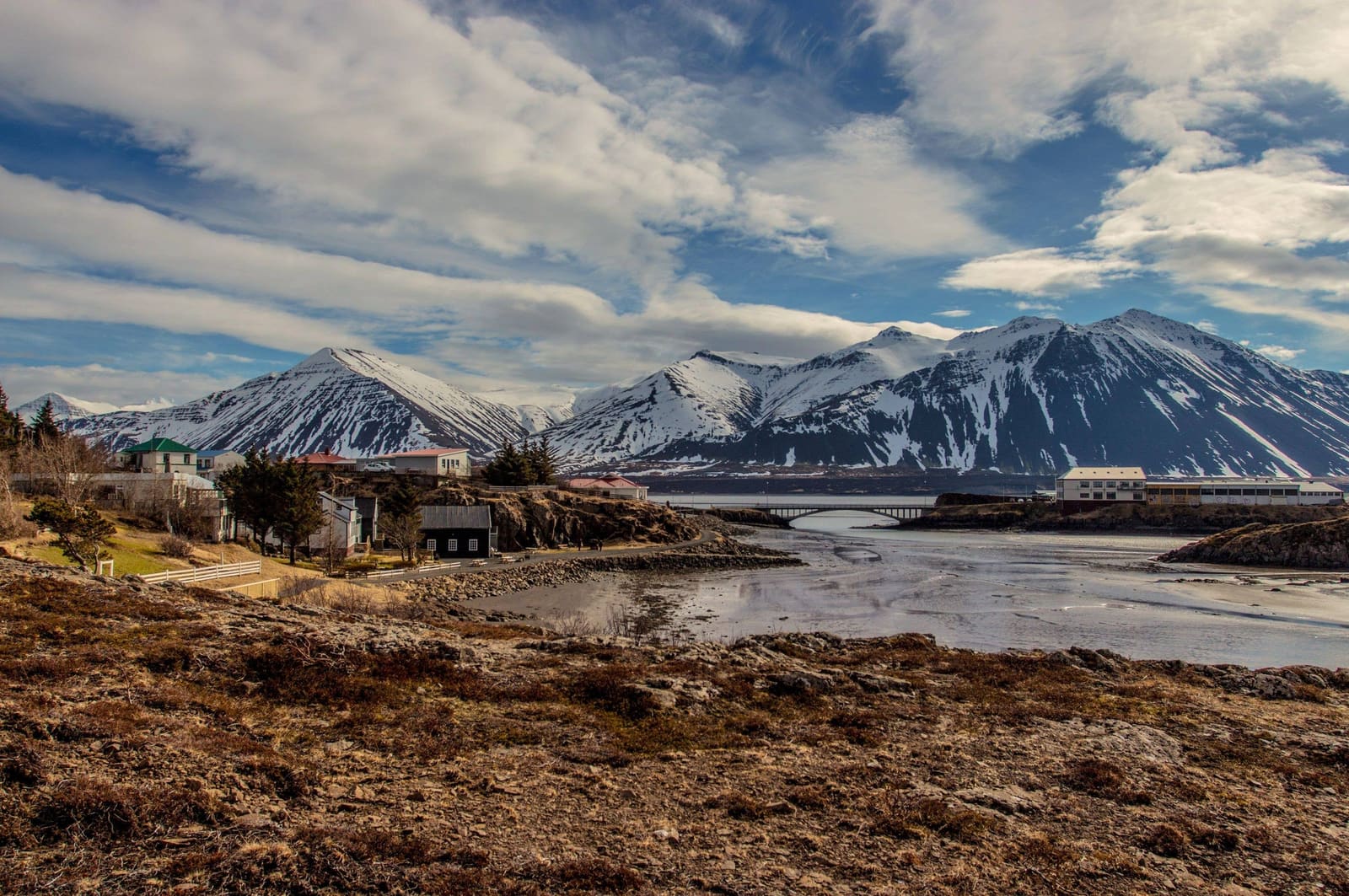
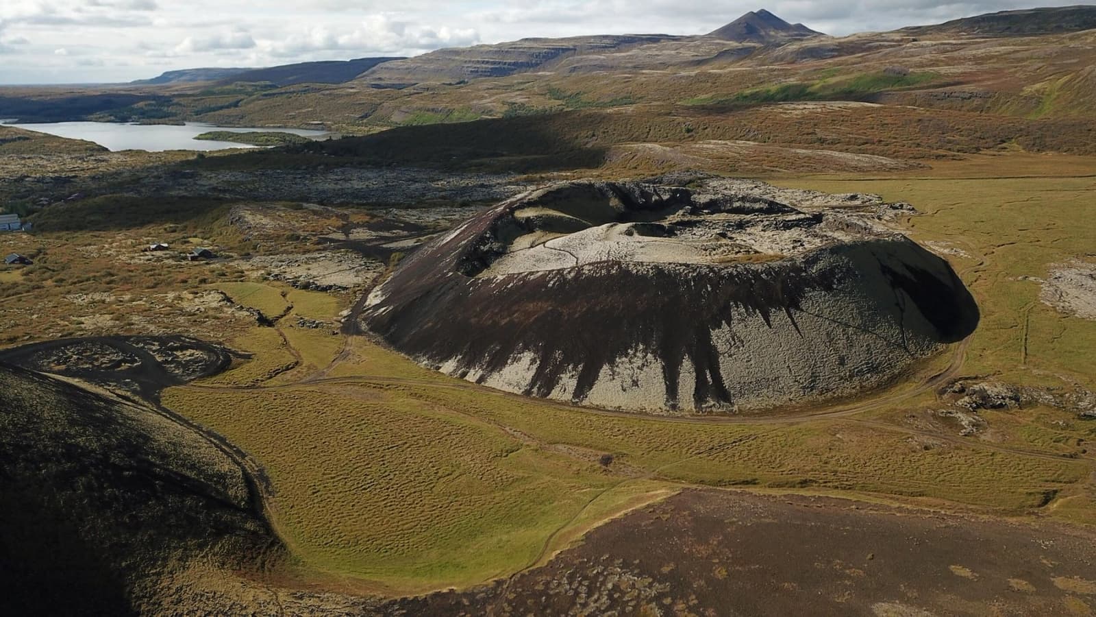
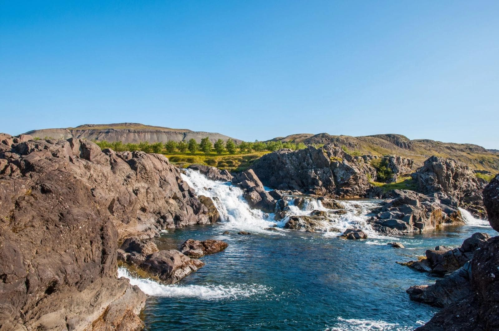
The wider route landscape helps explain why Langavatn belongs more to slow hiking and fishing plans.
The experience is open, quiet, and weather-exposed: water, grassy shore, low mountains, and a sense of being away from the normal West Iceland stop sequence.
On a calm day the appeal is the space: reflections, open water, sheep-country edges, and a lake basin shaped by older volcanic activity. In poor weather, the same openness can make the stop feel exposed and less rewarding.
That difference matters for planning. Langavatn belongs in a slower Borgarfjordur or West Iceland day, not in a tight sequence where every stop needs to be fast, obvious, and easy to reach.
For many visitors, Langavatn is more useful as a fishing place than as a sightseeing headline. Sources consistently connect the lake with char, brown trout, permit rules, and simple rural facilities.
If you are not fishing, be honest about the detour. The lake can still be beautiful, but the visit has less structure than a waterfall, crater, museum, or town stop.
Anglers should confirm permits, rules, reporting requirements, road access, and facility expectations with the fishing provider or official visitor information before making the lake a fixed plan.
Vatnaleid gives Langavatn a stronger hiking context. The regional tourism page describes a marked route linking several lakes through varied ground, with Langavatn as one of the named points.
This does not make the lake a casual stroll for every traveler. It makes Langavatn more meaningful for hikers who are already researching the route, terrain, weather, and overnight logistics.
For most self-drive visitors, the practical choice is simpler: use the lake if you want a quieter inland layer, or keep the day around Borgarnes, Grabrok, Glanni Waterfall, and Hraunfossar.
Langavatn has more variable planning friction than a paved viewpoint. Check road conditions, weather, fishing details, and basic facility expectations before driving away from easier West Iceland services.
Check before rural West Iceland driving.
Use for wind, rain, and warnings.
Use before outdoor plans.
Confirm permits and rules before fishing.
By ThorPublished Updated
Map
Use nearby places and useful bases before opening directions.
Interactive planning map for Langavatn Lake
Interactive map
Place context and external map links remain available without loading it.
Planning context
Open the region or practical guide that resolves the next planning decision.
Next step
Use the next page that helps turn this stop into a practical route decision.