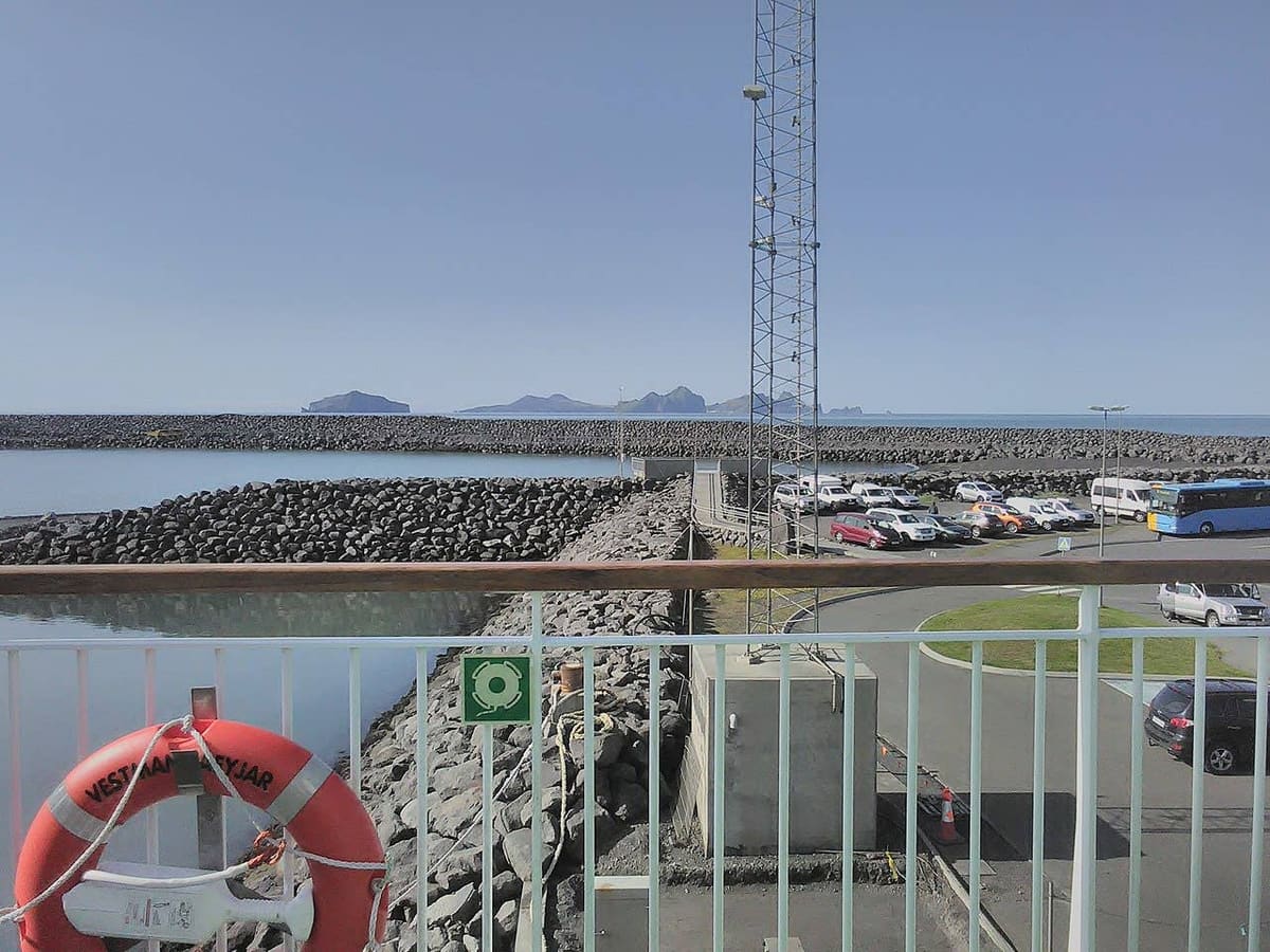
Landeyjahöfn is the mainland harbor for Herjólfur sailings to Heimaey in the Westman Islands. Its value is practical: this is where you arrive for the crossing, leave a car if needed, and check whether weather or sea conditions have changed the departure port.
Ferry terminal details
Place
Mainland ferry harbor, not a town
Route
Herjólfur passenger and car ferry to Heimaey
Arrival
Check in at least 30 minutes before departure, according to Herjólfur
Parking
Check current passenger-parking arrangements with Herjólfur
The mainland harbor for Heimaey
Landeyjahöfn opened for Herjólfur services in 2010, shortening the usual crossing to the Westman Islands. The mainland terminal lies on the coast of South Iceland.
The ferry carries passengers and vehicles to Heimaey. The island is the destination; Landeyjahöfn is the departure and arrival point on the mainland. Its exposed south-coast setting makes sea conditions important to the day’s operation.
The card image keeps the page anchored to the mainland ferry terminal.
Check-in and passenger parking
Herjólfur asks passengers to check in no later than 30 minutes before the advertised departure.
Build that arrival margin into the journey, then allow additional time for road conditions and finding the correct queue. Keep your ticket available for scanning. Follow staff instructions for vehicle loading and pedestrian boarding.
Heimaey is the reason most travelers use Landeyjahöfn; this image shows the island arrival context, not the mainland terminal.
The operator lists free passenger parking at the harbor. If leaving a car, secure your belongings and leave enough time to walk from the parking area to check-in. Confirm any accessibility or assistance needs with the ferry operator before traveling.
Sailings can move to Þorlákshöfn when Landeyjahöfn cannot be used.
Read the current Herjólfur announcement rather than assuming the port on an older plan is still correct. A port change affects the drive, sailing time and onward connections. Recheck both outward and return journeys, including any instructions about a canceled departure.
Check road and weather information before the approach from Hvolsvöllur. Avoid squeezing a long sightseeing drive around a crossing with little spare time.
Use Strætó’s current journey planner for the complete trip to and from the terminal.
The revised regional network uses a connection at Selfoss for travel between Reykjavík and Landeyjahöfn. Check the timetable for your date and leave a realistic transfer margin. An old reference to a direct route 52 bus should not be used to plan the journey.
If you are driving, use the South Coast road-trip guide to decide whether Seljalandsfoss or the Eyjafjallajökull area fits around the island visit. Keep enough time for Heimaey itself.