Short stop snapshot
- Type
- Lake and fishing stop
- Region
- Hnappadalur, West Iceland
- Best for
- Fishing and slow West Iceland days
- Time
- About 20 to 60 minutes
- Access
- Gravel-road side stop
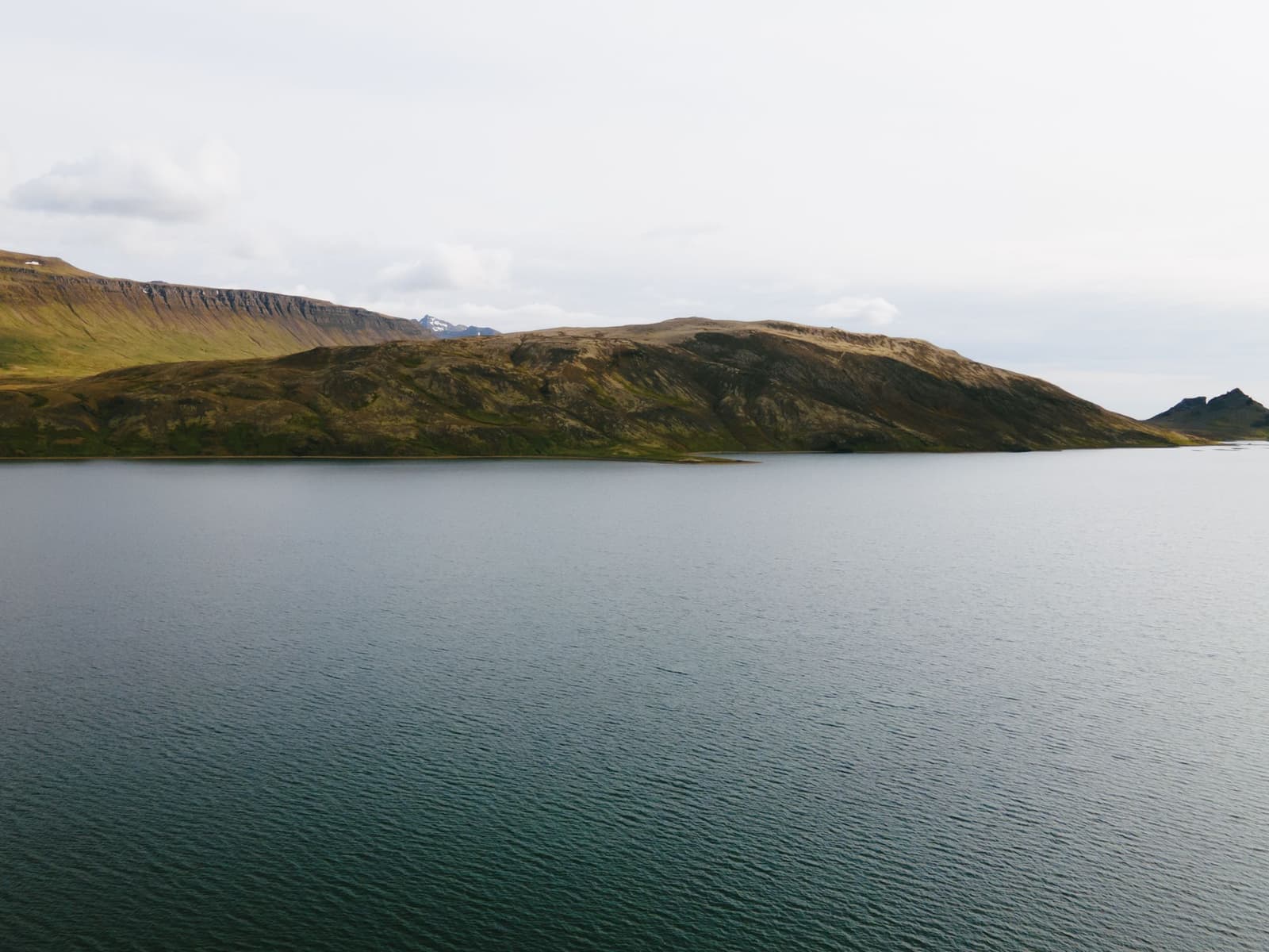
Hlíðarvatn is a lake in Hnappadalur that works best for anglers, slow West Iceland drives, and travelers who want a quiet water-and-lava pause near Heydalsvegur rather than another headline stop.
Short stop snapshot
Hlíðarvatn is worth adding when fishing, lake scenery, or a slower Hnappadalur day already fits your plan. It is less persuasive as a long standalone sightseeing detour.
The lake sits off Heydalsvegur in West Iceland, where the visit is more about water, lava-edged shore, low traffic, and open valley mood than a famous landmark moment. That makes it useful, but only for the right kind of day.
If your route is already using Borgarnes as a base, or you are choosing small stops between Gerðuberg, Eldborg, and the Hnappadalur countryside, Hlíðarvatn can add a quieter layer. If you have only one West Iceland day, stronger anchors should usually come first.
Photo guide
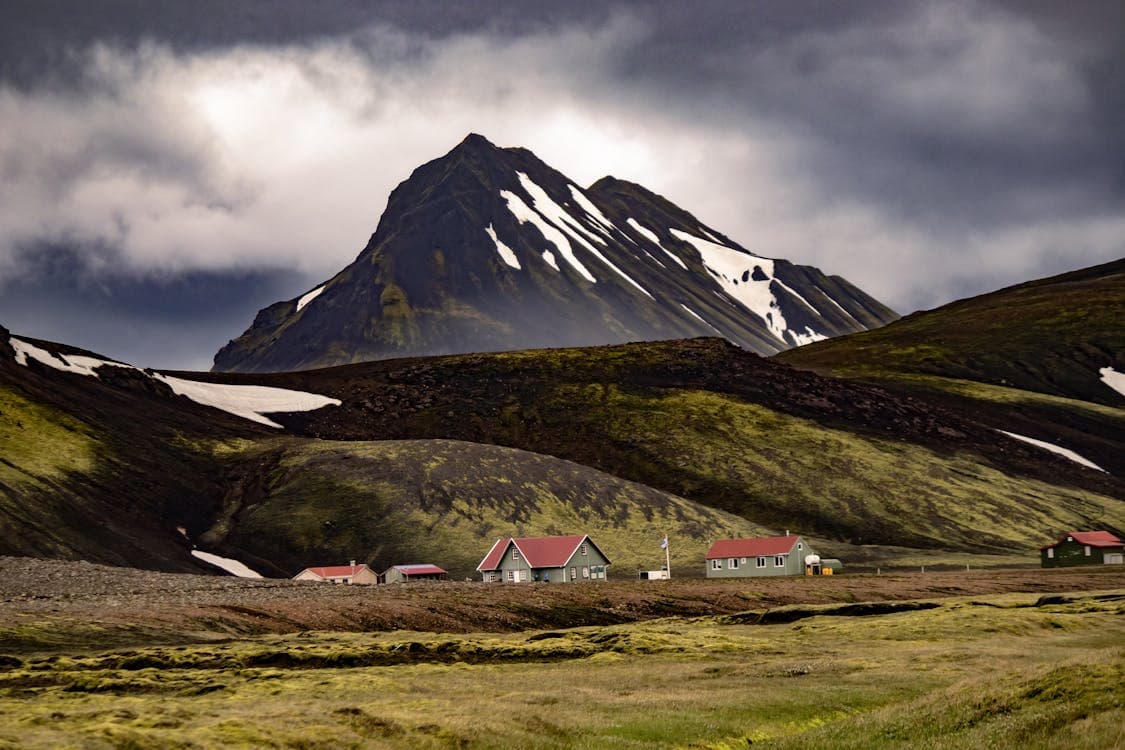
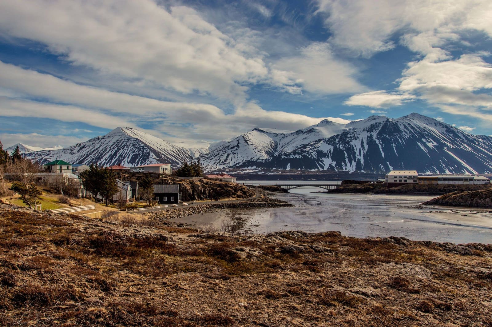
Hlíðarvatn belongs to a wilder Hnappadalur setting, so the detour is strongest when the day has room for slow lake and trail context.
Expect a low-key lake stop: broad water, dark lava shapes, grassy edges, mountain slopes, and a place that rewards quiet rather than checklist energy.
The most useful way to understand Hlíðarvatn is as a landscape pause. The lake is often described with its lava-field fishing spots and shifting water levels, so the shoreline can feel more textured than a simple roadside pond.
For non-anglers, the value is mainly atmosphere and route fit. Stop for a look, a short shoreline pause, or a photo if the weather is clear enough to show the Hnappadalur setting. Do not expect a polished visitor attraction.
Hlíðarvatn becomes much more compelling if fishing is part of your trip, because the visitor value shifts from scenery to a specific lake-use plan.
Fishing sources describe Hlíðarvatn as a trout and char lake, with the western Hraunholt side especially important for permitted angling. That is the practical detail that separates this stop from many other quiet West Iceland lakes.
Before casting, confirm the latest permit area, rules, and local restrictions with the fishing-card or operator source you plan to use. For sightseeing-only travelers, those same details are a signal: the lake is strongest when you have a reason to spend time at the shore.
The useful secondary angle is Vatnaleið, a marked walking route that starts at Hlíðarvatn and continues through other lakes in the Hnappadalur area.
West Iceland describes Vatnaleið as a trail past Hlíðarvatn, Hítarvatn, Langavatn, and Hreðavatn, with views over Hnappadalur and the Borgarfjörður region. That does not make Hlíðarvatn a casual hike for everyone, but it gives active travelers a real reason to look beyond the roadside view.
If you are only stopping briefly, use the trail context as a clue to the landscape rather than a commitment. If you want to walk farther, check official trail, weather, and daylight details before treating the route as part of the day.
Hlíðarvatn works best when it supports a West Iceland cluster instead of competing with the region's more obvious stops.
For a practical sightseeing day, build around places such as Borgarnes, Gerðuberg, Eldborg, or Langavatn Lake, then add Hlíðarvatn only if the route still has space. That order keeps the lake from carrying more weight than it should.
The main checks are simple: road conditions, weather, fishing permissions, and whether the trail or shoreline plan still makes sense for your group.
Use Umferðin for road conditions, the Icelandic Met Office for weather, SafeTravel for general travel guidance, and the relevant fishing source if angling is the reason you are going. Facilities and access details can vary, so avoid planning the stop around a single assumed service.
Practical source for Hlíðarvatn fishing area and rule checks.
Regional page for the marked lake-to-lake walking route.
Road-condition source for rural self-drive decisions.
Forecasts and warnings for weather-sensitive lake and trail plans.
By ThorPublished Updated
Map
Use nearby places and useful bases before opening directions.
Interactive planning map for Hlíðarvatn Lake
Interactive map
Place context and external map links remain available without loading it.
Wider route
Use broader place relationships for route comparison; they are not presented as immediate nearby stops.
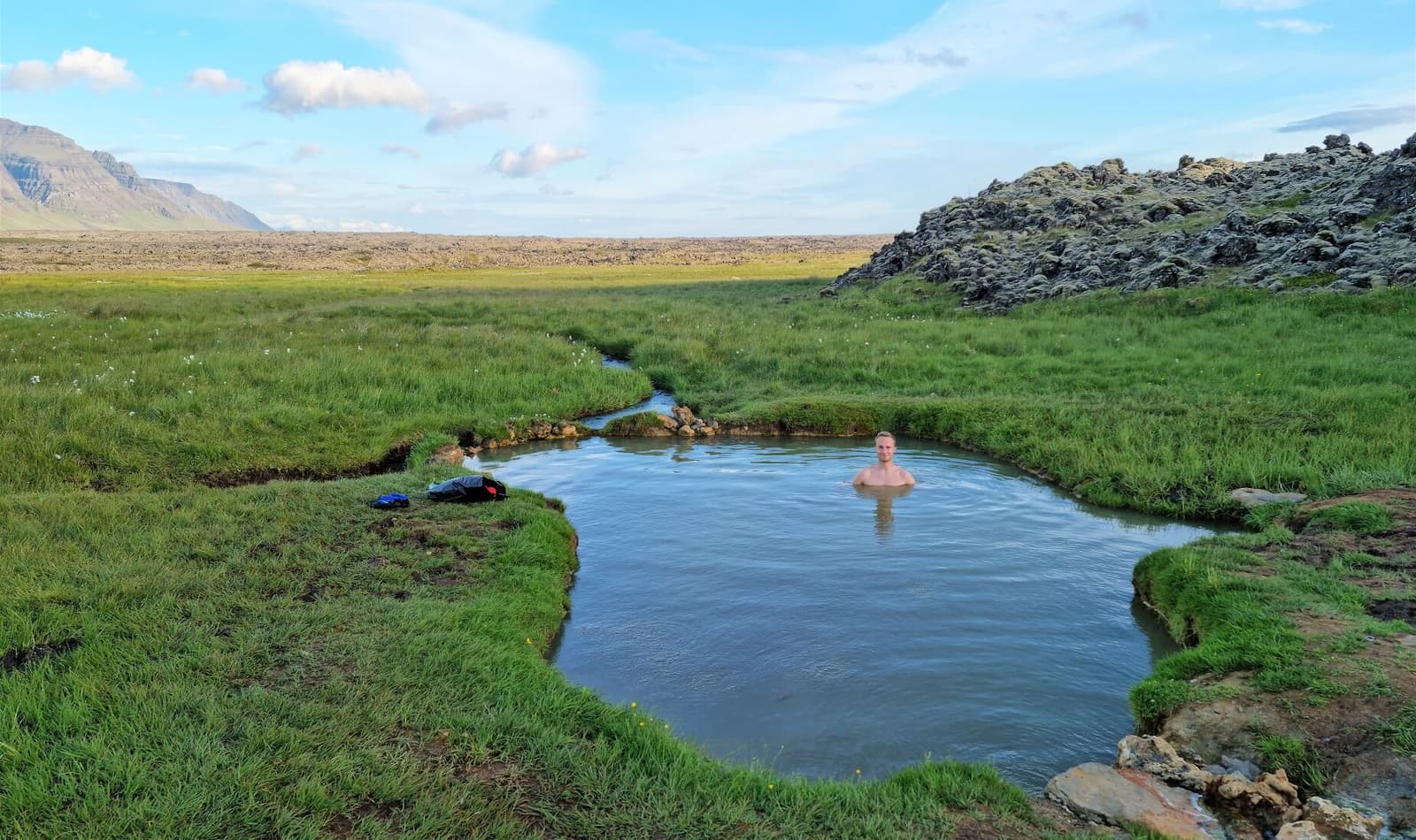
Sturlungalaug Hot Springs is a rough natural soak on the eastern side of Snæfellsnes, worth adding when your West Iceland drive can handle a bumpy approach road, basic conditions, and a slower hidden-gem stop.
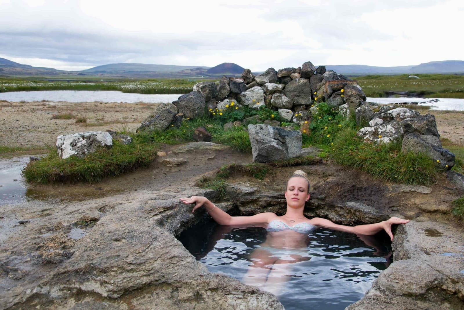
Landbrotalaug is a tiny geothermal pool in Eldborgarhraun near Route 54 on eastern Snæfellsnes. Its small scale and open surroundings are appealing, but access permission and bathing conditions need careful checks before a visit.
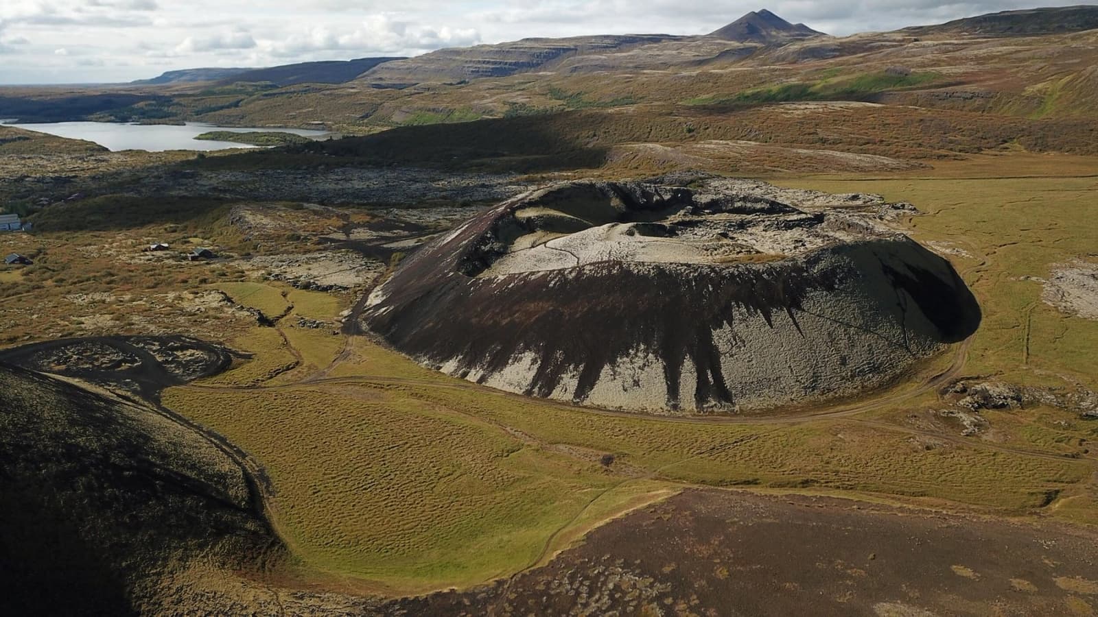
Grábrók is a protected volcanic crater beside Bifröst in West Iceland, best used as a short Ring Road or Borgarfjörður climb when you want quick volcanic views without reshaping the whole day.
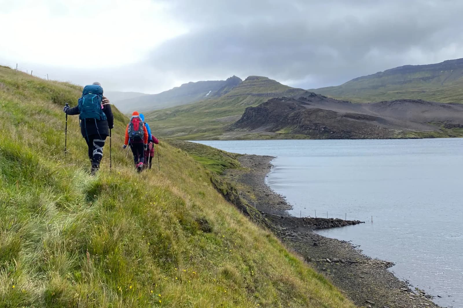
Langavatn Lake is a remote West Iceland fishing and hiking stop for travelers who want a quieter Borgarfjordur detour, not another headline sight squeezed into a fast Ring Road day.
Continue planning
Move from this lake note into the planning page that helps compare stronger nearby stops.