Coast snapshot
- Type
- Harbor town and cultural stop
- Region
- East Iceland, by Berufjörður
- Best for
- Slow Ring Road pause
- Time
- 45 minutes to half a day
- Access
- Easy town roads; check conditions
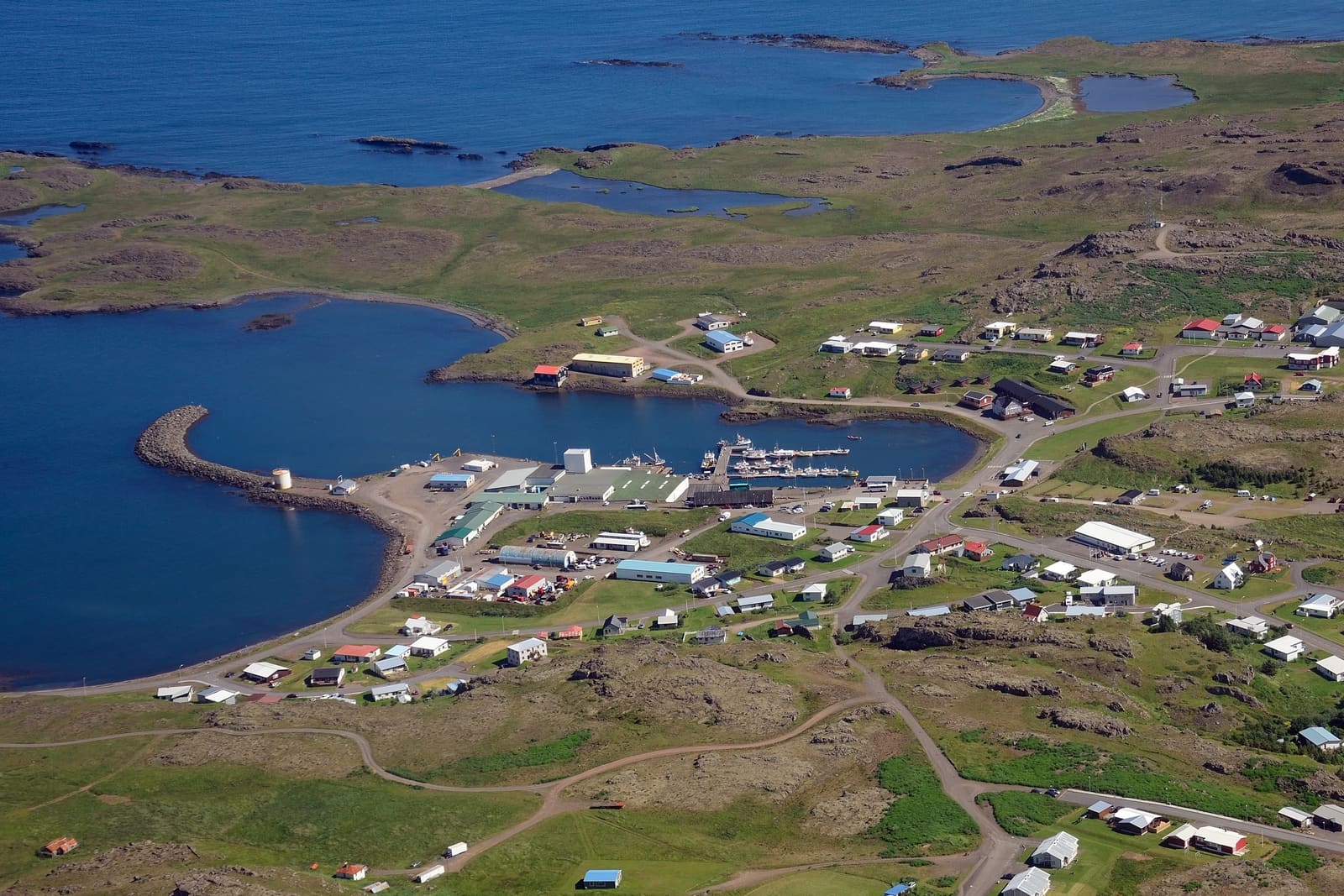
Djúpivogur is a small East Iceland harbor town for travelers who want a slower Ring Road pause, local art, old buildings, birdlife, and easy pairings around Berufjörður and Teigarhorn.
Coast snapshot
Yes, if your trip has room to slow down. Djúpivogur is most rewarding as a harbor walk, art-and-culture stop, or calm Eastfjords breather, not as a rushed trophy sight.
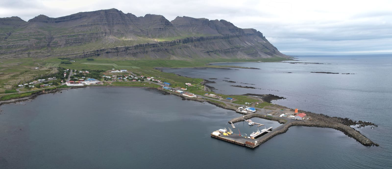
The town sits on Búlandsnes by Berufjörður, with fishing boats, low houses, old trading history, and Búlandstindur rising behind the waterfront. It gives the Ring Road a human-scale pause after long stretches of coast and fjord driving.
Build it into the day when you want a walk by the harbor, the public artwork at Gleðivík, a stop at Langabúð Cultural Center, or a gentler overnight between Southeast Iceland and the deeper Eastfjords.
The strongest version of Djúpivogur is simple: waterfront, working harbor, old buildings, public art, and a few close-by cultural stops.
Start near the harbor, where the town still feels tied to fishing rather than staged sightseeing. Stay aware of working areas, keep clear of operational spaces, and treat private homes and gardens as private even when the town feels quiet.
The easy signature stop is Eggin í Gleðivík, the waterfront artwork with 34 oversized bird eggs. It works best as part of a shoreline stroll rather than the only reason to turn off the road.
Langabúð gives the stop more depth because it ties the harbor area to older trading history and local culture. Nearby small cultural stops such as Auðunn's Mineral Collection and Ars Longa Contemporary Art Museum make the town feel less like a fuel stop and more like a compact local cluster.
Djúpivogur and Seyðisfjörður both reward slower travelers, but they solve different planning problems.
| Stop | Use it when | Tradeoff |
|---|---|---|
| Djúpivogur | You want a Ring Road harbor pause with art, birdlife, and nearby shoreline pairings. | It is quieter and less dramatic as a single destination. |
| Seyðisfjörður | You want a stronger fjord-town detour, colorful streets, and a more enclosed mountain setting. | It usually asks for more route commitment from Egilsstaðir. |
| Egilsstaðir | You need services, an overnight base, or a practical inland hub. | It is less atmospheric than the fjord and harbor towns. |
If you are driving north, Seyðisfjörður may be the more memorable town detour. If you are linking the southeast coast with East Iceland, Djúpivogur works better as a low-friction pause with Berufjörður and Teigarhorn close by.
The right amount of time depends on whether Djúpivogur is a photo pause, a town walk, or a slower Eastfjords base.
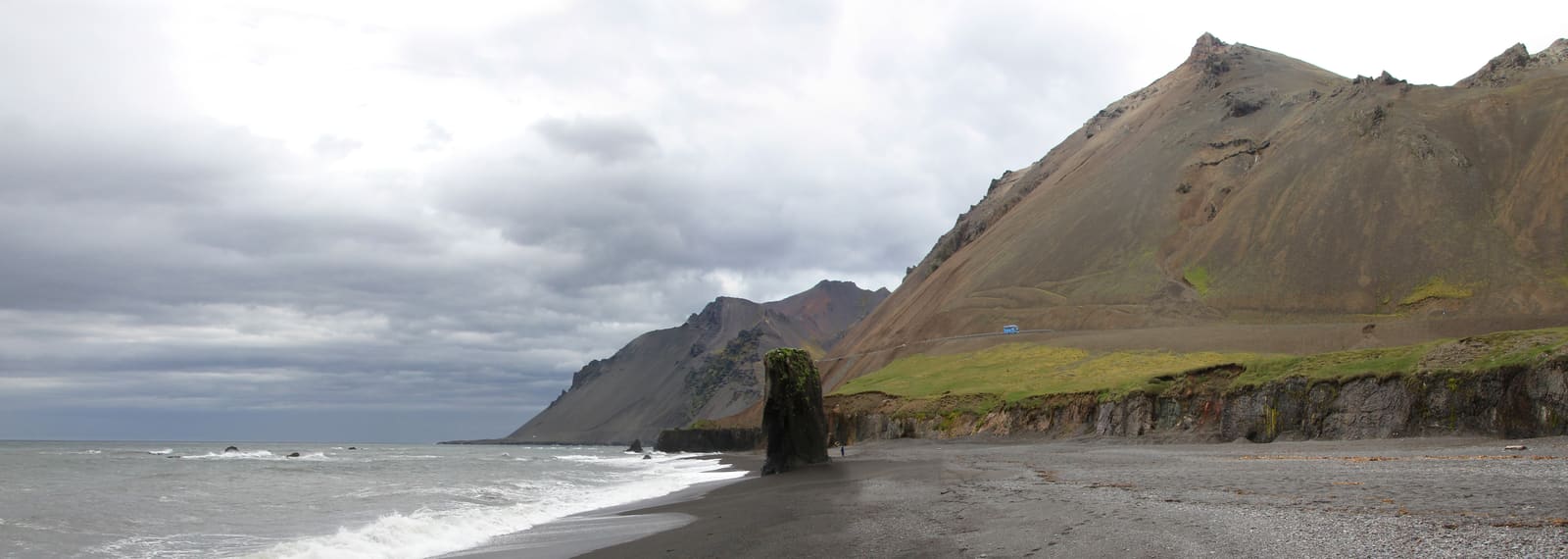
The surrounding landscape matters as much as the town center. Búlandsnes, shallow coastal water, and the mountain backdrop give photographers and birdwatchers more to work with than the main street alone.
The area around town can stretch the visit without turning it into a hard detour, especially when the weather favors shoreline views.
This is where Djúpivogur becomes more than a quick main-street stop. The harbor, Búlandsnes shoreline, birdlife, and Búlandstindur backdrop give you small decisions: walk, photograph, watch the water, or keep moving before the next fjord road.
Before or after the town walk, Berufjörður is the natural fjord context for Djúpivogur travelers who want the Eastfjords drive to feel less like a pass-through.
Djúpivogur is easy to understand on a map, but East Iceland timing can still change with weather, road conditions, daylight, local staffing, and ferry or tour choices nearby.
Check official road and weather information before treating the town as a fixed transfer point on a long day. This matters most when you are linking Höfn, Djúpivogur, Egilsstaðir, and northern routes in one stretch.
For cultural stops, food, swimming, boat trips, exhibitions, and visitor services, confirm details with official local sources before you rely on them. The safer planning assumption is that the town walk and harbor setting are the durable core.
Use for town context, nearby places, and official visitor links.
Check before long East Iceland driving days.
Check wind, visibility, warnings, and forecast changes.
Use for general Iceland travel safety guidance.
By ThorPublished Updated
Map
Use nearby places and useful bases before opening directions.
Interactive planning map for Djúpivogur
Interactive map
Place context and external map links remain available without loading it.
Routes and itineraries
Compare road trips and itineraries that give this place a sensible position in the wider journey.
Planning context
Open the region or practical guide that resolves the next planning decision.
Next step
Use the next page that helps turn this stop into a practical route decision.