Town snapshot
- Type
- Inland destination area
- Region
- East Iceland around Egilsstaðir
- Best for
- Slower Ring Road planning
- Time
- Half day to two nights
- Nearby
- Lagarfljót, Hengifoss, Seyðisfjörður
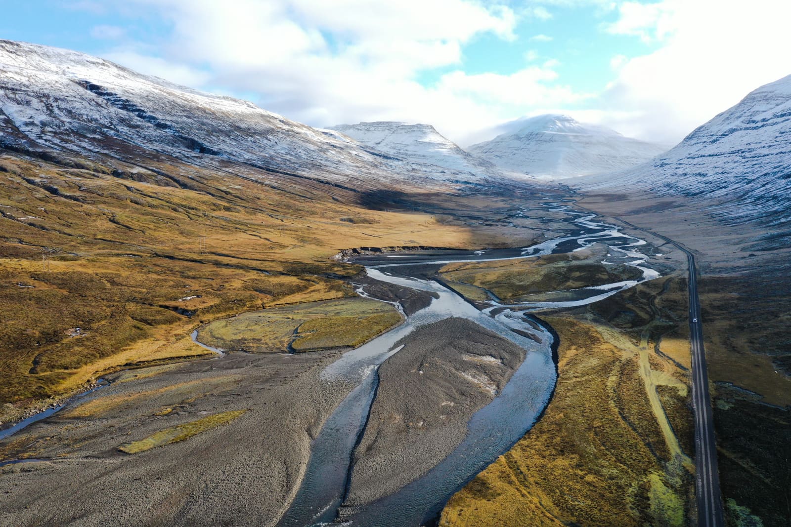
Fljótsdalshérað is the inland East Iceland area around Egilsstaðir, Fellabær, Lagarfljót, forests, farms, and waterfall routes, useful when you need a realistic base instead of treating the east as one long transit day.
Town snapshot
Fljótsdalshérað is best understood as the inland East Iceland area around Egilsstaðir, Fellabær, Lagarfljót, wooded slopes, farms, and routes toward waterfalls, fjords, and highland-edge valleys.
It is not one fenced attraction with a single entrance. The useful travel question is whether this area should become your East Iceland base, your lake-and-forest detour, or simply a practical stop between stronger scenic anchors.
For most travelers, the strongest version is selective: use Egilsstaðir for services or sleep, then give the real sightseeing time to Lagarfljót, Hengifoss, Hallormsstaður, Vök Baths, Seyðisfjörður, or one quieter valley road.
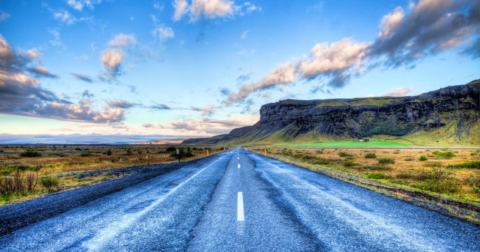
Photo guide
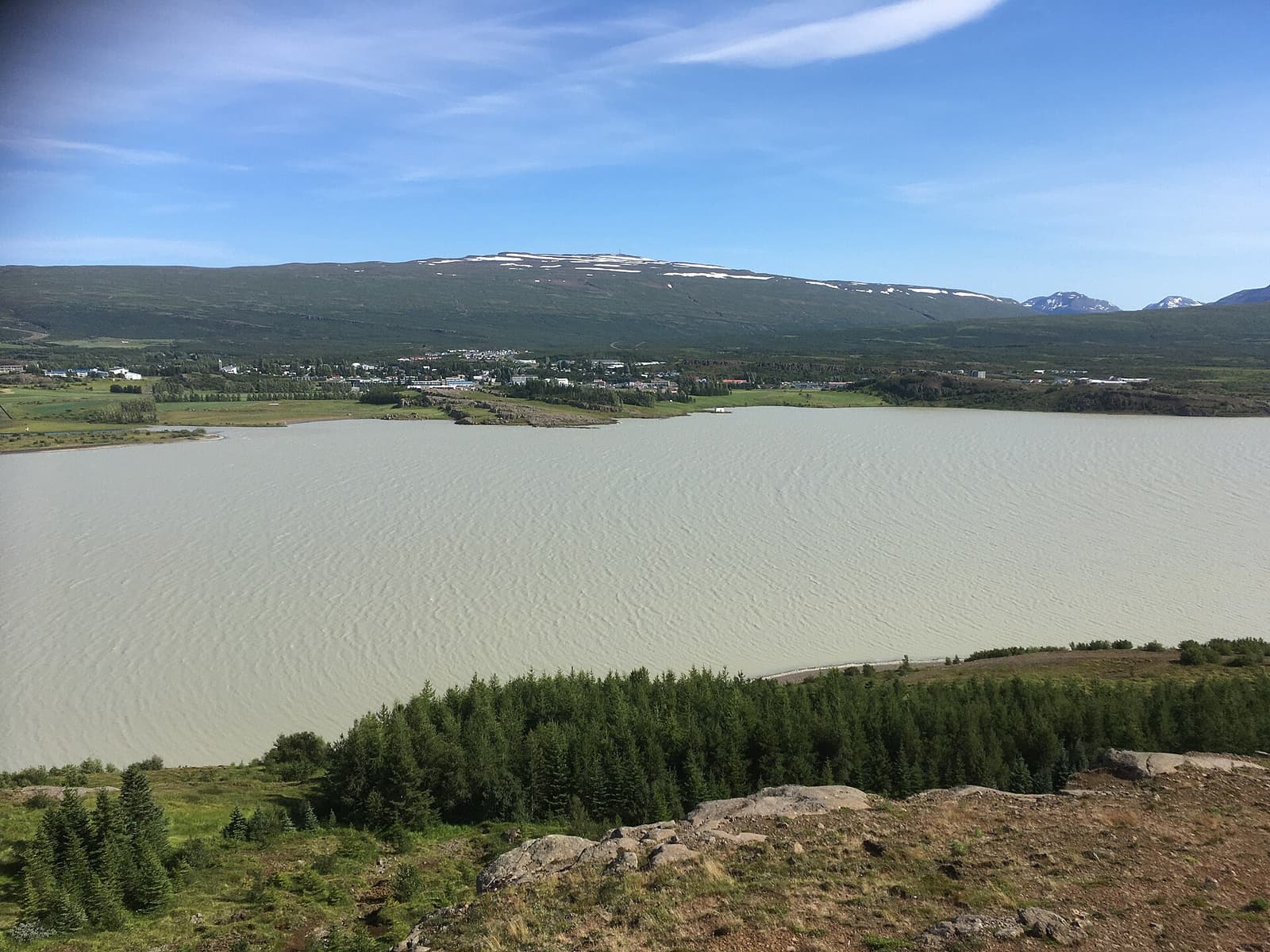
Egilsstaðir anchors the inland East Iceland area around Lagarfljót.
The area becomes more than a logistics stop when you have enough time to follow Lagarfljót rather than only refuel in town.
Lagarfljót is the visual thread of the visit: wide water, lowland farms, forested edges, and routes that lead toward Hengifoss and Fljótsdalur. The lake setting is especially useful when your East Iceland plan needs a calmer contrast to fjord roads.
The source-supported reason to care is not only Egilsstaðir as a service town. Fljótsdalshérað also has a woodland, waterfall, and culture layer that can justify a slower stop.
Hallormsstaður National Forest adds an unusual Icelandic woodland angle beside Lagarfljót, with walking, birdlife, plants, and berry or mushroom context depending on season and conditions. That makes the area feel different from many bare roadside East Iceland pauses.
The cultural layer is quieter but useful: East Iceland Heritage Museum, Sláturhúsið, Skriðuklaustur, Snæfellsstofa, and local festivals or exhibitions can change the decision on poor-weather days. Check the relevant official visitor pages before building a plan around any indoor stop.
This page should not compete with its stronger neighbors. It should help you decide which East Iceland job you actually need.
| If you need | Choose |
|---|---|
| Food, fuel, sleep, airport access, or route recovery | Egilsstaðir and Fellabær |
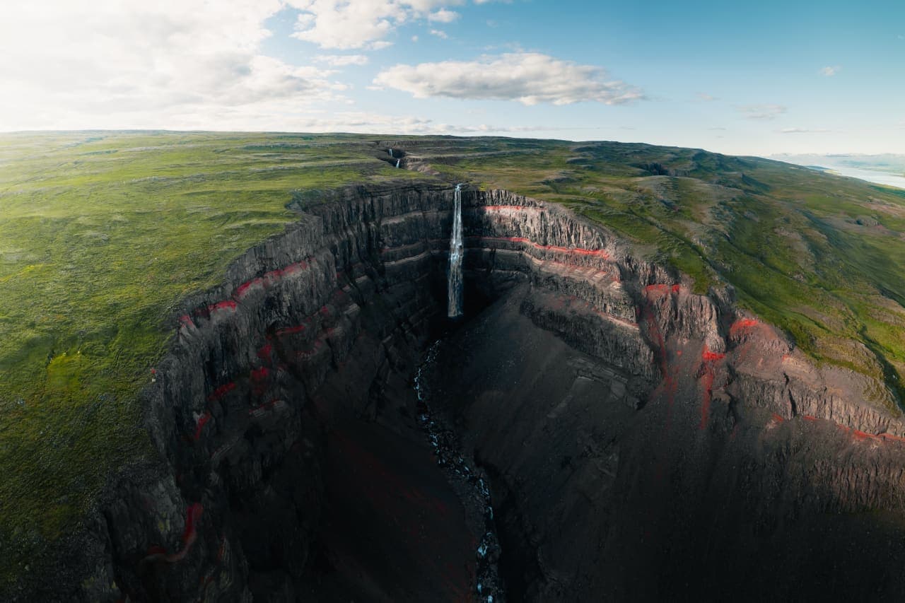
| One memorable hike with red-striped gorge scenery | Hengifoss and Litlanesfoss |
| A slower fjord-town detour with harbor and mountain views | Seyðisfjörður |
| A gentler lake, forest, and valley day | Fljótsdalshérað around Lagarfljót |
If your route has only a quick stop, Egilsstaðir is usually the honest choice. If you have an extra half day or overnight, Fljótsdalshérað becomes more useful because you can let the lake, forest, and waterfall side shape the plan.
East Iceland planning can look simple on a map, but passes, valleys, wind, snow, fog, and daylight can change how much of the area fits comfortably.
Before linking the area with fjord roads, highland-edge valleys, or a tight Ring Road transfer, check official road conditions, weather forecasts, and the visitor information for any site you are making central to the day.
Use for area identity, visitor context, and local planning leads.
Use for Fljótsdalur, Hengifoss, Lagarfljót, and nearby destination context.
Check before committing to passes, valleys, and longer East Iceland drives.
Use forecast and warning information before outdoor plans.
By ThorPublished Updated
Map
Use nearby places and useful bases before opening directions.
Interactive planning map for Fljótsdalshérað
Interactive map
Place context and external map links remain available without loading it.
Routes and itineraries
Compare road trips and itineraries that give this place a sensible position in the wider journey.
Planning context
Open the region or practical guide that resolves the next planning decision.
Next step
Use the next page that helps turn this stop into a practical route decision.